Springs Wood
Wood, Forest in Westmorland South Lakeland
England
Springs Wood

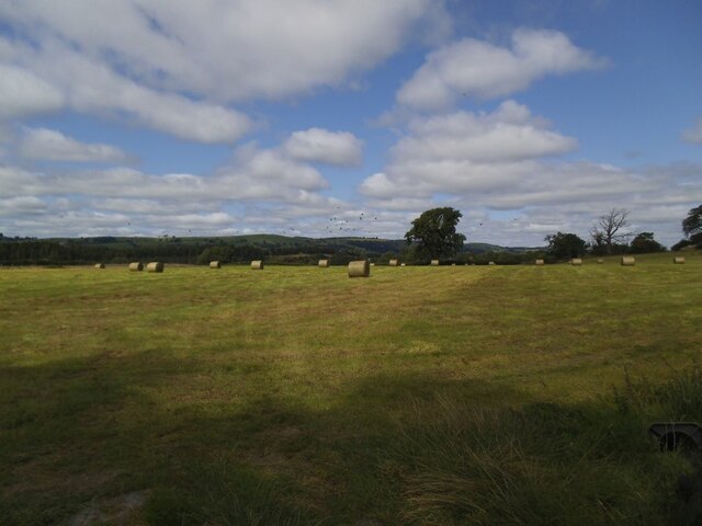
Springs Wood is a picturesque forest located in the county of Westmorland, nestled in the stunning countryside of northern England. Covering an area of approximately 500 acres, this woodland is renowned for its natural beauty and diverse ecosystem.
The forest is predominantly composed of deciduous trees, such as oak, beech, and birch, which create a lush canopy that filters sunlight and provides a habitat for a wide range of flora and fauna. The forest floor is covered with a carpet of mosses, ferns, and wildflowers, adding to its enchanting atmosphere.
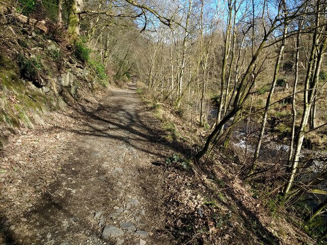
Springs Wood is intersected by a network of well-maintained walking trails, allowing visitors to explore the area and immerse themselves in nature. These paths wind through the forest, passing by babbling brooks, tranquil ponds, and ancient stone walls, enhancing the sense of tranquility and serenity that permeates the wood.
Birdwatchers will be delighted by the diverse avian population that calls Springs Wood home. Species such as woodpeckers, warblers, and owls can be spotted amongst the treetops, their melodic calls echoing through the woodland. Squirrels and rabbits are also a common sight, darting among the trees, while deer and foxes are occasionally glimpsed, adding a touch of wildlife to the landscape.
Whether you are a nature enthusiast, a hiker, or simply seeking solace in a peaceful environment, Springs Wood in Westmorland offers a tranquil haven to escape the hustle and bustle of everyday life. Its natural beauty and rich biodiversity make it a must-visit destination for anyone seeking a connection with nature.
If you have any feedback on the listing, please let us know in the comments section below.
Springs Wood Images
Images are sourced within 2km of 54.23771/-2.5573541 or Grid Reference SD6382. Thanks to Geograph Open Source API. All images are credited.


Springs Wood is located at Grid Ref: SD6382 (Lat: 54.23771, Lng: -2.5573541)
Administrative County: Cumbria
District: South Lakeland
Police Authority: Cumbria
What 3 Words
///grips.bats.angers. Near Kirkby Lonsdale, Cumbria
Nearby Locations
Related Wikis

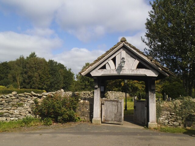
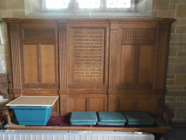
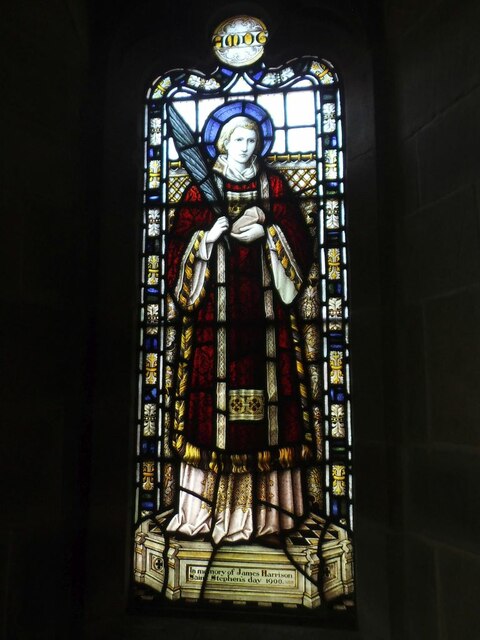
St Bartholomew's Church, Barbon
St Bartholomew's Church is in the village of Barbon, Cumbria, England. It is an active Anglican parish church in the deanery of Kendal, the archdeaconry...

Barbon railway station
Barbon railway station was located in Westmorland (now part of Cumbria), England, serving the town and locale of Barbon on the Ingleton Branch Line....

Barbon
Barbon is a village and civil parish in Westmorland and Furness, England. According to the 2001 census it had a population of 263, reducing to 236 at...

Barbon Beck
Barbon Beck is a small river in Barbondale, Cumbria. It is a tributary of the River Lune. Rising at Weather Ling Hill, where it is known as Barkin Beck...

Casterton School
Casterton School was an independent boarding and day school for girls aged 3 to 18 years in the village of Casterton in rural Cumbria. In its final years...
Casterton, Cumbria
Casterton is a small village and civil parish close to Kirkby Lonsdale on the River Lune in the south east corner of Cumbria, England. In the 2001 census...

Holy Trinity Church, Casterton
Holy Trinity Church is in the village of Casterton, Cumbria, England. It is an active Anglican parish church in the deanery of Kendal, the archdeaconry...
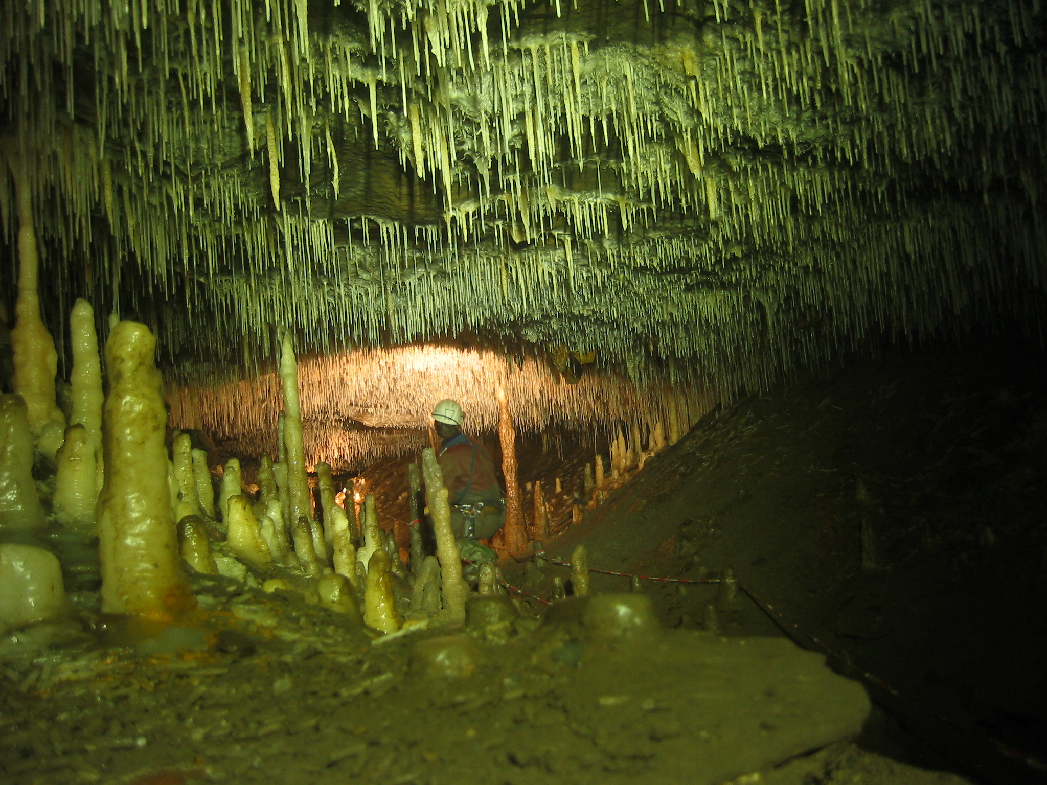
Ease Gill Caverns
The Ease Gill Cave System is the longest, and most complex cave system in Britain as of 2011, with around 41 miles (66 km) of passages, including connections...
Nearby Amenities
Located within 500m of 54.23771,-2.5573541Have you been to Springs Wood?
Leave your review of Springs Wood below (or comments, questions and feedback).