Broomhall Gorse
Wood, Forest in Cheshire
England
Broomhall Gorse

Broomhall Gorse is a small woodland located in the county of Cheshire, England. Covering an area of approximately 20 acres, it is situated near the village of Broomhall, close to the town of Nantwich.
The woodland is characterized by its thickets of gorse bushes, which give it its name. Gorse is a spiny evergreen shrub that produces bright yellow flowers, adding a splash of color to the landscape. In addition to gorse, the woodland is also home to a variety of other trees and plants, including oak, birch, and holly.
Broomhall Gorse is a popular destination for nature enthusiasts and walkers due to its tranquil and picturesque setting. The woodland provides a habitat for a diverse range of wildlife, including birds, small mammals, and insects. Visitors may be lucky enough to spot species such as woodpeckers, foxes, and butterflies while exploring the area.
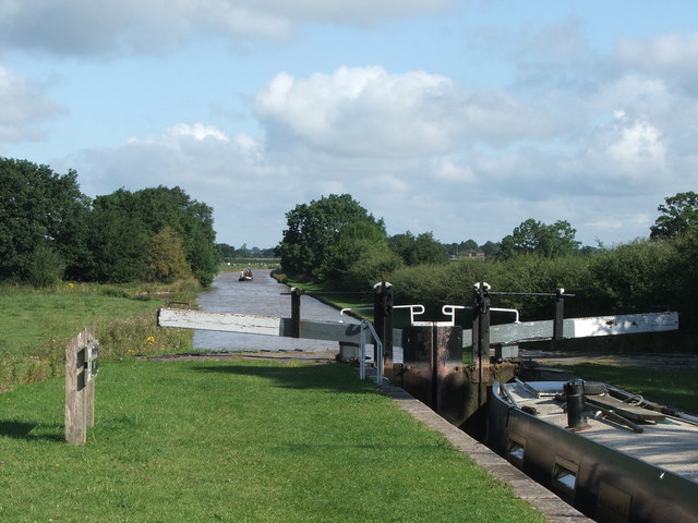
The woodland is crisscrossed by a network of footpaths, allowing visitors to explore its beauty and enjoy peaceful walks. These paths lead through the gorse thickets, under the shade of the trees, and across small streams that meander through the woodland.
Broomhall Gorse is managed by the local authorities, who ensure its conservation and maintenance. The woodland offers a peaceful retreat from the hustle and bustle of urban life, providing a haven for both wildlife and visitors seeking a natural escape.
If you have any feedback on the listing, please let us know in the comments section below.
Broomhall Gorse Images
Images are sourced within 2km of 53.033756/-2.5425201 or Grid Reference SJ6348. Thanks to Geograph Open Source API. All images are credited.


Broomhall Gorse is located at Grid Ref: SJ6348 (Lat: 53.033756, Lng: -2.5425201)
Unitary Authority: Cheshire East
Police Authority: Cheshire
What 3 Words
///vandalism.players.submits. Near Nantwich, Cheshire
Nearby Locations
Related Wikis
Baddington
Baddington is a civil parish in the unitary authority of Cheshire East and the ceremonial county of Cheshire, England, which lies immediately to the south...
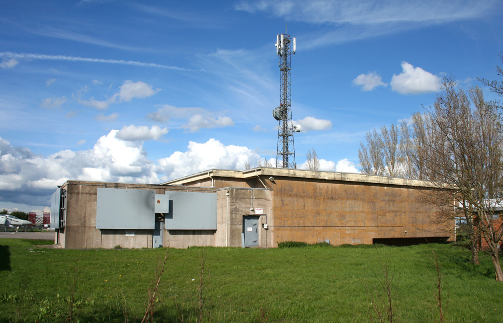
Hack Green Secret Nuclear Bunker
The Hack Green Secret Nuclear Bunker is a former government-owned nuclear bunker located at Hack Green, Cheshire, England. == History == The first military...
Broomhall, Cheshire
Broomhall is a civil parish in the unitary authority of Cheshire East and the ceremonial county of Cheshire, England. The main line of the Shropshire Union...
Sound, Cheshire
Sound is a hamlet (at SJ619483) and civil parish in the unitary authority of Cheshire East and the ceremonial county of Cheshire, England. The hamlet is...
Nearby Amenities
Located within 500m of 53.033756,-2.5425201Have you been to Broomhall Gorse?
Leave your review of Broomhall Gorse below (or comments, questions and feedback).