Ardallie

Settlement in Aberdeenshire

Scotland

Ardallie

Farmland north of Ardallie Not an exciting view, but typical of the country hereabouts.
Farmland north of Ardallie Credit: David Purchase

Ardallie is a small rural village located in Aberdeenshire, Scotland. Situated approximately 30 miles north of Aberdeen, it is nestled amidst the picturesque countryside of the Buchan region. With a population of around 500 residents, Ardallie offers a tranquil and close-knit community atmosphere.

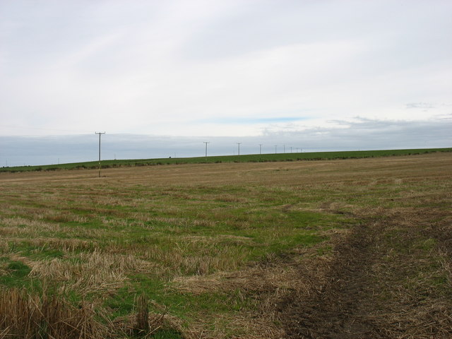
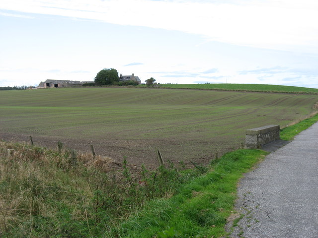
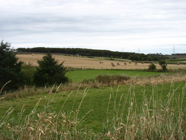
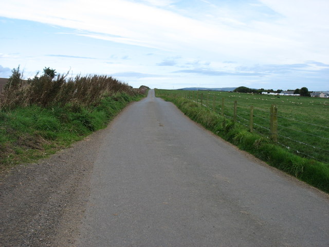
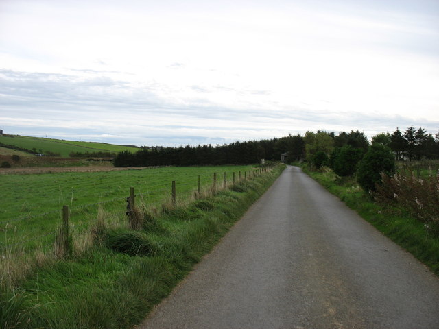
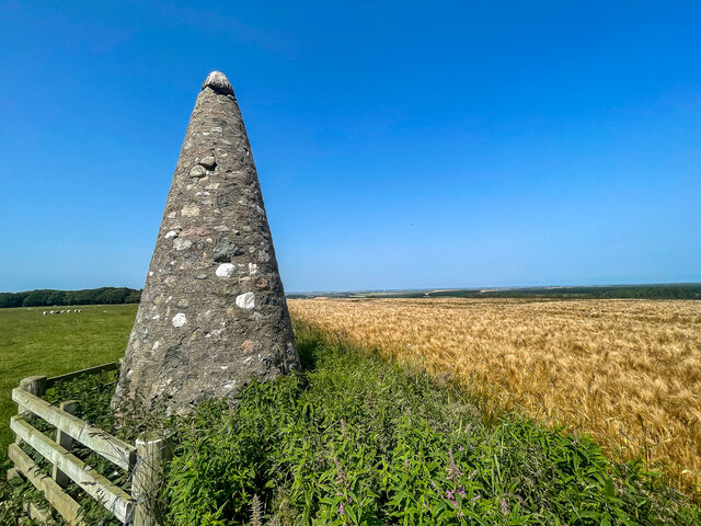
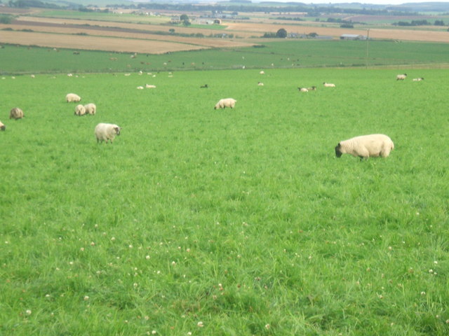
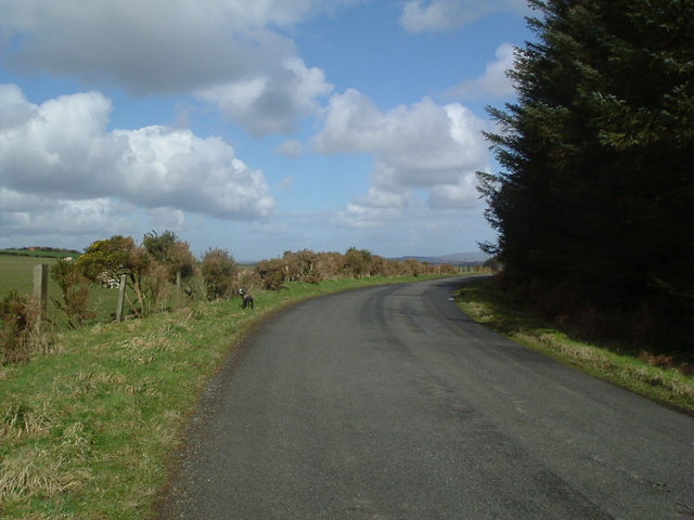
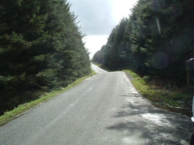
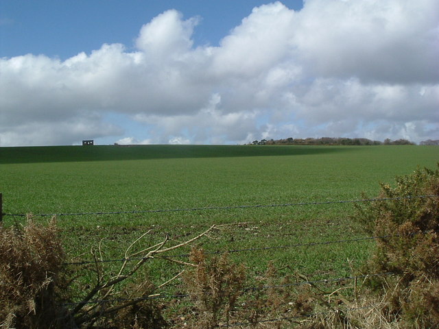
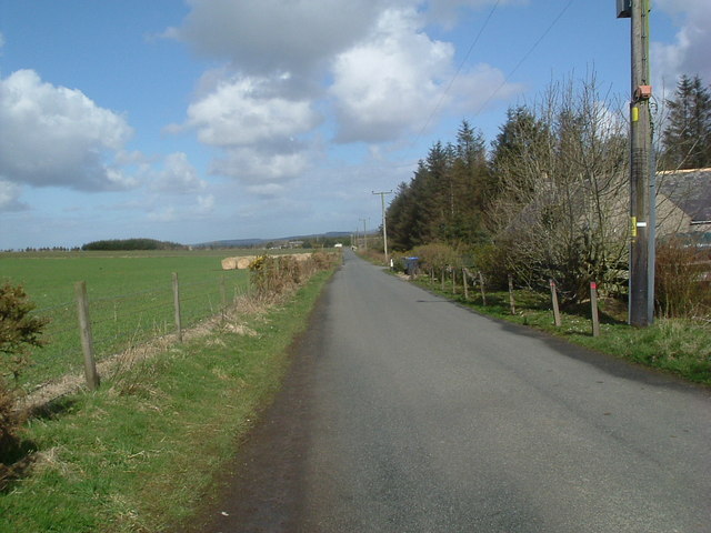
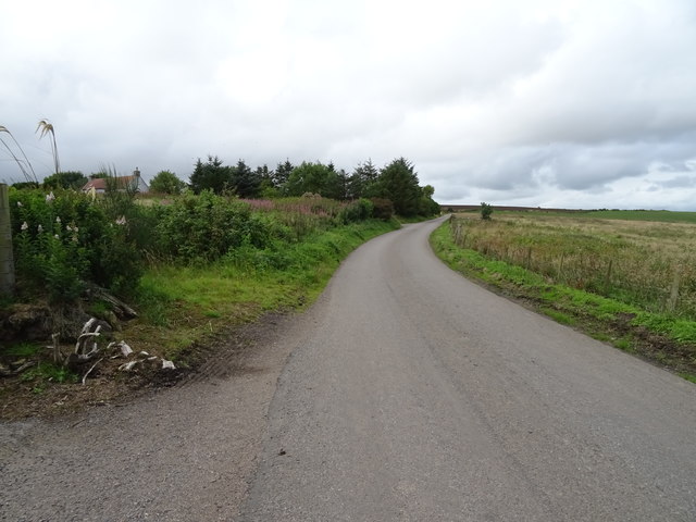
The village is surrounded by beautiful landscapes, including rolling hills, farmland, and the nearby coastline, providing residents with stunning views and a variety of outdoor recreational opportunities. The area is renowned for its natural beauty, attracting visitors who enjoy hiking, cycling, and birdwatching.

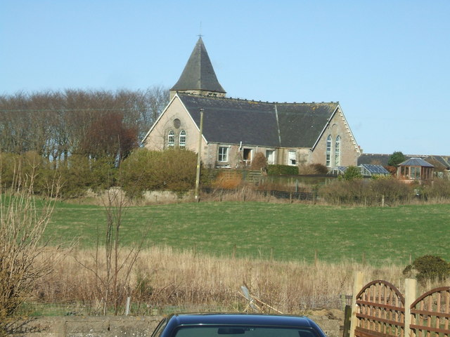
Ardallie has a rich history, with traces of its past evident in the local architecture. The village is home to a charming church, built in the 19th century, which serves as a focal point for the community. Additionally, there are several traditional stone cottages, showcasing the area's architectural heritage.

Despite its small size, Ardallie offers some amenities for its residents. These include a primary school, community hall, and a local shop for basic necessities. For more extensive shopping, entertainment, and healthcare services, residents can easily access nearby towns such as Peterhead or Ellon.

Overall, Ardallie offers a peaceful and idyllic setting for those seeking a rural lifestyle. Its natural beauty, community spirit, and proximity to larger towns make it an appealing place to live for those who value tranquility and a strong sense of community.

If you have any feedback on the listing, please let us know in the comments section below.
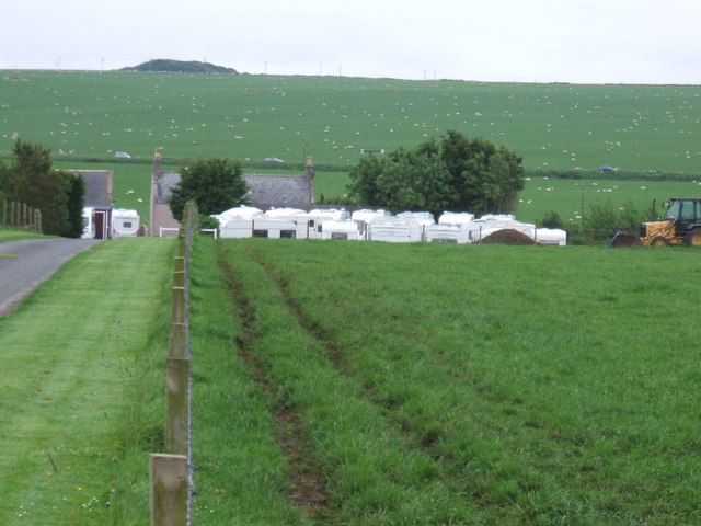
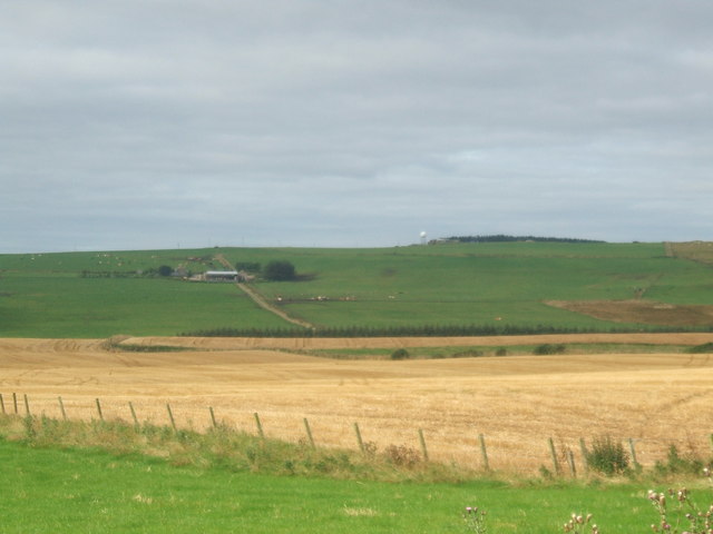
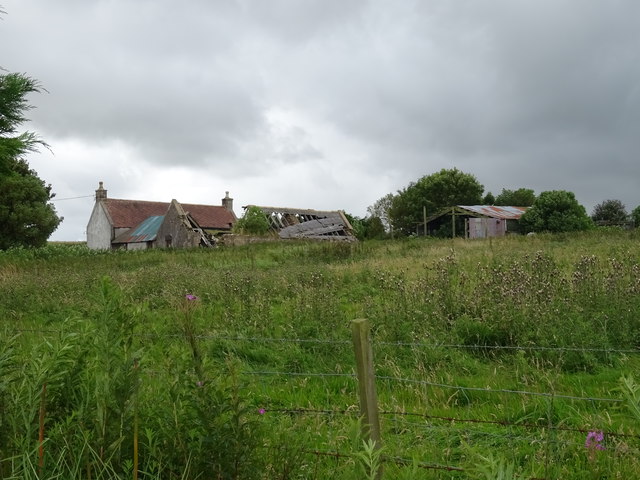
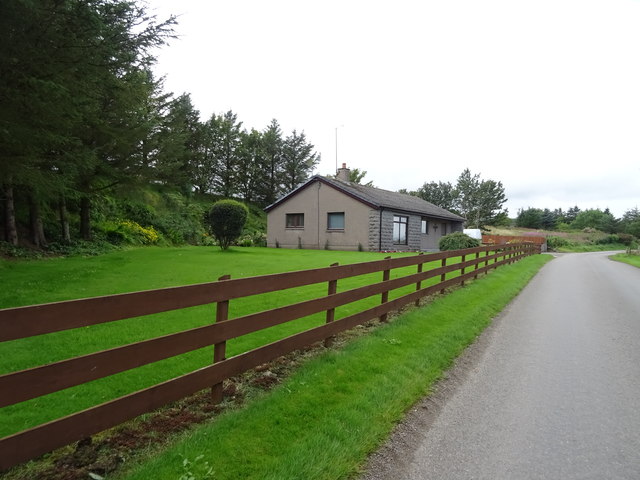
Ardallie Images

Images are sourced within 2km of 57.44313/-1.98407 or Grid Reference NK0139. Thanks to Geograph Open Source API. All images are credited.

Farmland north of Ardallie Not an exciting view, but typical of the country hereabouts.
Farmland north of Ardallie
Not an exciting view, but typical of the country hereabouts.
Nether Hawkhillock This seems to be a fertile farm.
Nether Hawkhillock
This seems to be a fertile farm.
Farmland west of Hatton
The A952 heading for Ellon
Minor road heading for Stuartfield
Minor road heading for Ardallie This road meets the A952 just after the trees ahead.
Minor road heading for Ardallie
This road meets the A952 just after the trees ahead.
Cairn on Smallburn Hill A quite impressive cairn for such a small hill
Cairn on Smallburn Hill
A quite impressive cairn for such a small hill
Sheep grazing on Kinknockie Hill I have a perspective shot showing Kinknockie Hill in all its modest 137 mtr glory taken from gridsquare NJ9940.
 <a title="https://www.geograph.org.uk/photo/465277" href="https://www.geograph.org.uk/photo/465277">Link</a>
Sheep grazing on Kinknockie Hill
I have a perspective shot showing Kinknockie Hill in all its modest 137 mtr glory taken from gridsquare NJ9940. Link
Hillhead of Auquharnie
Road through the woods Looking south east
Road through the woods
Looking south east
Smallburn Hill
Smallburn Hill
Road at Smallburn
Road at Smallburn
Ardallie Bog A patch of uncultivatable land in mid-shot
Ardallie Bog
A patch of uncultivatable land in mid-shot
Caravan Sales Yard at Lammerbogs with adjacent grid square main A952 road and large field of grazing sheep on Kinknockie Hill
Caravan Sales Yard at Lammerbogs
with adjacent grid square main A952 road and large field of grazing sheep on Kinknockie Hill
View from Humblecairn Gridsquare ends about the line of trees mid-shot. Dudwick Hill c/w Telecoms 'golf-ball' provides background.
View from Humblecairn
Gridsquare ends about the line of trees mid-shot. Dudwick Hill c/w Telecoms 'golf-ball' provides background.
Ardallie Croft
Ardallie Croft
House near Ardallie Croft
Road near Ardallie Croft Towards Skelmuir.
Road near Ardallie Croft
Towards Skelmuir.
Show me another place!

Ardallie is located at Grid Ref: NK0139 (Lat: 57.44313, Lng: -1.98407)

Unitary Authority: Aberdeenshire

Police Authority: North East

What 3 Words

///cobble.growth.mentioned. Near Cruden Bay, Aberdeenshire

Nearby Locations

Ardallie

Related Wikis

Nearby Amenities

Located within 500m of 57.44313,-1.98407
Ardallie
Place: hamlet
Lat/Long: 57.4420599/-1.9861909
The Estate of The Lord and Lady Knopjes
Office: surveyor
Source: https://establishedtitles.com/
Lat/Long: 57.4419798/-1.9907624
Power: pole
Lat/Long: 57.439186/-1.9809469
Power: pole
Lat/Long: 57.4396536/-1.9810774
Power: pole
Lat/Long: 57.4402289/-1.9812192
Power: pole
Lat/Long: 57.4407764/-1.9813565
Power: pole
Lat/Long: 57.4414426/-1.9815366
Power: pole
Lat/Long: 57.442047/-1.9816874
Power: pole
Lat/Long: 57.4426938/-1.9818607
Power: pole
Lat/Long: 57.4432982/-1.9820205
Power: pole
Lat/Long: 57.4440686/-1.982214
Power: pole
Lat/Long: 57.4447456/-1.9823873
Power: pole
Lat/Long: 57.4453088/-1.9825516
Power: pole
Lat/Long: 57.4458756/-1.9826889
Power: pole
Lat/Long: 57.446469/-1.982842
Power: pole
Lat/Long: 57.4471763/-1.9830063
Power: pole
Lat/Long: 57.4464266/-1.9817346
Power: pole
Lat/Long: 57.4463794/-1.9806453
Power: pole
Lat/Long: 57.4463358/-1.9795559
Power: pole
Lat/Long: 57.444788/-1.9832651
Power: pole
Lat/Long: 57.4448243/-1.9842622
Power: pole
Lat/Long: 57.4448691/-1.985239
Power: pole
Lat/Long: 57.4446996/-1.9859097
Power: pole
Lat/Long: 57.441078/-1.9801501
Power: pole
Lat/Long: 57.4413784/-1.9789415
Power: pole
Lat/Long: 57.4416788/-1.9778093
Power: pole
Lat/Long: 57.441932/-1.976801
Power: pole
Lat/Long: 57.4421597/-1.9759142
Power: pole
Lat/Long: 57.4447541/-1.9916075
Power: pole
Lat/Long: 57.4450738/-1.9912361
Power: pole
Lat/Long: 57.4453851/-1.990885
Power: pole
Lat/Long: 57.4456866/-1.9905001
Power: pole
Lat/Long: 57.4460173/-1.9902008
Power: pole
Lat/Long: 57.4419465/-1.9883484
Power: pole
Lat/Long: 57.4422263/-1.9896066
Power: pole
Lat/Long: 57.4428561/-1.9902323
Power: pole
Lat/Long: 57.4434145/-1.9907027
Power: pole
Lat/Long: 57.4432013/-1.9916908
Power: pole
Lat/Long: 57.4437137/-1.9895841
Power: pole
Lat/Long: 57.4440056/-1.988461
Power: pole
Lat/Long: 57.4442926/-1.9874099
Power: pole
Lat/Long: 57.4445373/-1.9865096
The data included in this document is from www.openstreetmap.org. The data is made available under ODbL.

Have you been to Ardallie?

Leave your review of Ardallie below (or comments, questions and feedback).