Dairy House Coppice

Wood, Forest in Dorset

England

Dairy House Coppice

Nottington Lane
Nottington Lane Credit: David Dixon

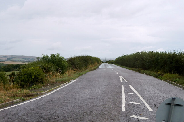
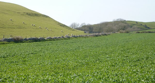
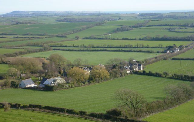
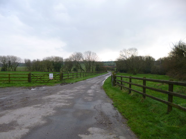
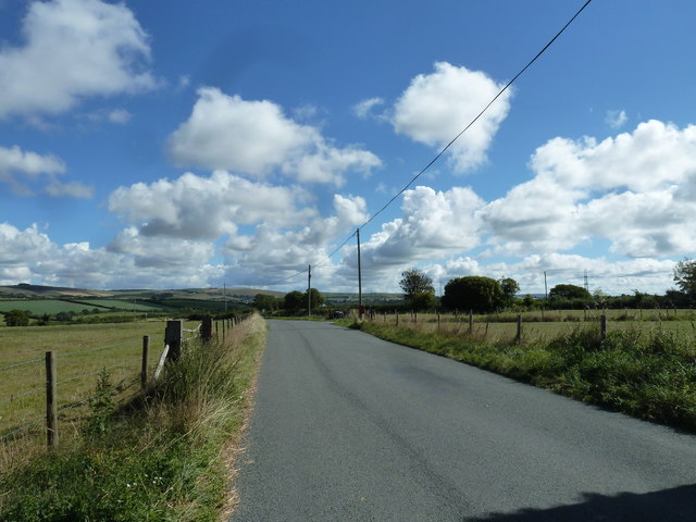
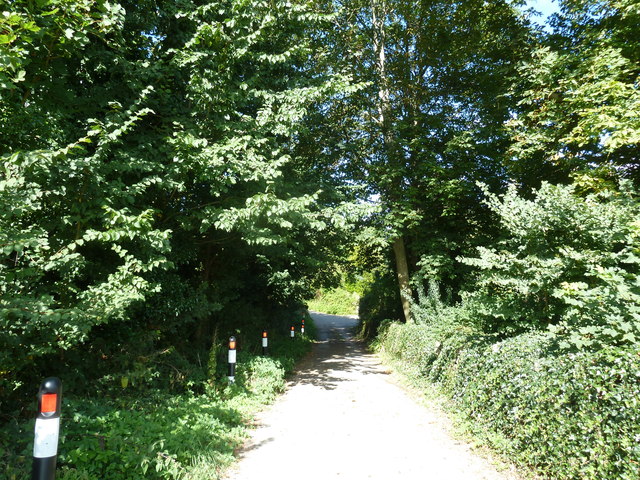
Dairy House Coppice is a woodland area located in the county of Dorset, England. Situated near the village of Toller Porcorum, the coppice covers an approximate area of 50 acres. The woodland is characterized by a mix of broadleaf trees such as oak, ash, and beech, as well as some coniferous species including pine and spruce. The dense canopy created by these trees provides a shaded and tranquil environment, making it an ideal place for nature enthusiasts and walkers to explore.

The coppice has a long history, dating back several centuries, and was traditionally managed for wood production. The practice of coppicing involves cutting trees at ground level to encourage the growth of new shoots, which were then harvested for timber or fuel. Although the management of the coppice has shifted from commercial purposes to conservation in recent years, remnants of the historic coppicing system can still be seen in the form of regrowth and coppice stools.

The woodland is home to a variety of wildlife, including mammals such as deer, badgers, and foxes, as well as numerous bird species like woodpeckers, owls, and songbirds. The undergrowth of the coppice provides habitat for small mammals, insects, and reptiles, adding to the biodiversity of the area.

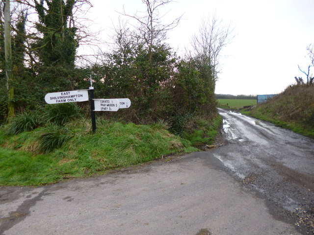
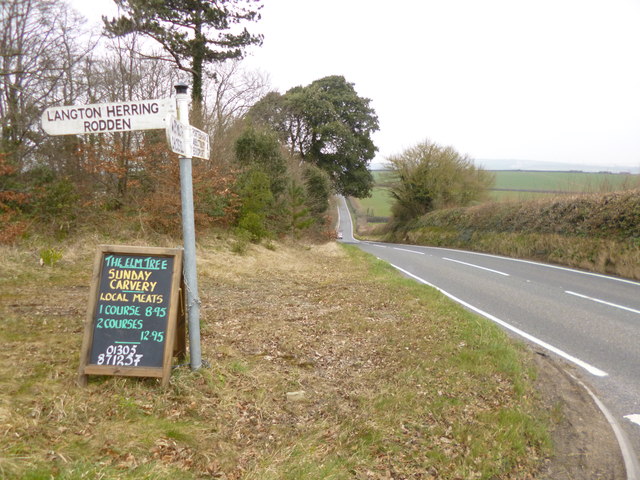
Visitors to Dairy House Coppice can enjoy a network of footpaths and trails that wind through the woodland, providing opportunities for leisurely walks or more adventurous hikes. The peaceful atmosphere and beautiful surroundings make it an ideal destination for nature lovers and those seeking a respite from the hustle and bustle of everyday life.

If you have any feedback on the listing, please let us know in the comments section below.

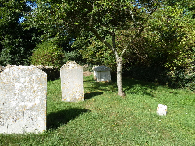
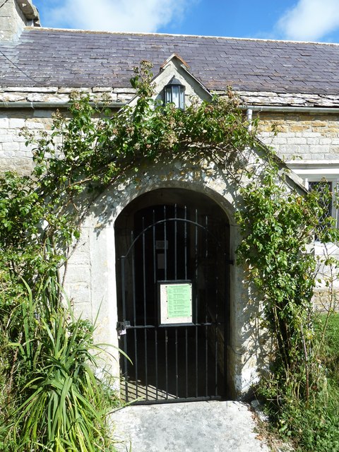
Dairy House Coppice Images

Images are sourced within 2km of 50.653389/-2.5148642 or Grid Reference SY6383. Thanks to Geograph Open Source API. All images are credited.

Nottington Lane
Nottington Lane
Direction Sign - Signpost on Cheese Lane near Coryates Located south of Coryates on the southwest side of the junction of Cheese Lane and the road to East Shilvinghampton Farm in Portesham parish. 3 arms and annulus & bar finial. See <a title="https://www.geograph.org.uk/photo/6099271" href="https://www.geograph.org.uk/photo/6099271">Link</a> to compare with its condition in 2013, and <a title="https://www.geograph.org.uk/photo/3308110" href="https://www.geograph.org.uk/photo/3308110">Link</a> and <a title="https://www.geograph.org.uk/photo/1092395" href="https://www.geograph.org.uk/photo/1092395">Link</a> for alternative views

Milestone Society National ID: DO_SY6284
Direction Sign - Signpost on Cheese Lane near Coryates
Located south of Coryates on the southwest side of the junction of Cheese Lane and the road to East Shilvinghampton Farm in Portesham parish. 3 arms and annulus & bar finial. See Link to compare with its condition in 2013, and Link and Link for alternative views Milestone Society National ID: DO_SY6284
Sheep on Corton Hill
Coryates and Portland
Coryates, farm road Farm road and footpath, from the Portesham to Shilvinghampton road; leading to East Shilvinghampton Farm.
Coryates, farm road
Farm road and footpath, from the Portesham to Shilvinghampton road; leading to East Shilvinghampton Farm.
Coryates, fingerpost Dorset gridded fingerpost, at the junction of the Portesham to Broadwey road, and the road to East Shilvinghampton Farm; bearing grid number "628 847".
Coryates, fingerpost
Dorset gridded fingerpost, at the junction of the Portesham to Broadwey road, and the road to East Shilvinghampton Farm; bearing grid number "628 847".
Langton Cross, fingerpost At the junction of B3157 and the village road.
Langton Cross, fingerpost
At the junction of B3157 and the village road.
Corton, Blackacre Farm
St Nicholas, Buckland Ripers: September 2013
Rush hour in Buckland Ripers
St Nicholas, Buckland Ripers: churchyard (a)
St Nicholas, Buckland Ripers: churchyard (b)
Rush hour in Buckland Ripers (2) Looking north-west down Church Lane
Rush hour in Buckland Ripers (2)
Looking north-west down Church Lane
St Nicholas, Buckland Ripers: churchyard (c)
St Nicholas, Buckland Ripers: churchyard (d)
St Nicholas, Buckland Ripers: churchyard (e)
St Nicholas, Buckland Ripers: churchyard (f)
St Nicholas, Buckland Ripers: entrance
Show me another place!

Dairy House Coppice is located at Grid Ref: SY6383 (Lat: 50.653389, Lng: -2.5148642)

Unitary Authority: Dorset

Police Authority: Dorset

What 3 Words

///surely.narrowest.silence. Near Chickerell, Dorset
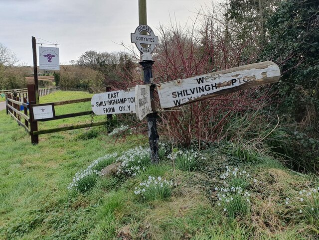
Related Wikis

Coryates Halt railway station

Coryates Halt was a small railway station on the Abbotsbury branch railway in the west of the English county of Dorset. It consisted of a single platform...

Buckland Ripers

Buckland Ripers is a hamlet in Dorset, England, situated four miles north west of Weymouth. == External links == Dorset OPC Buckland Ripers Parish page...

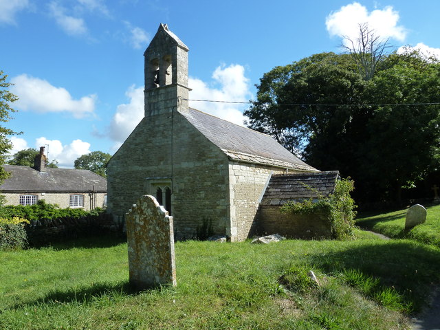
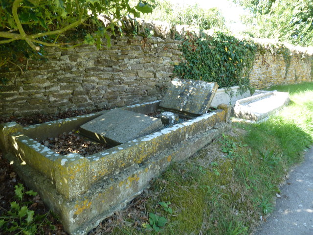
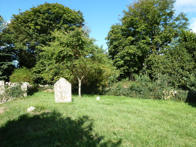
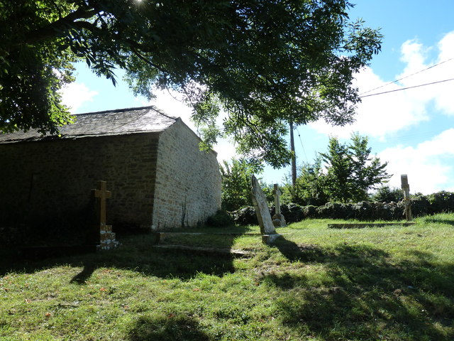
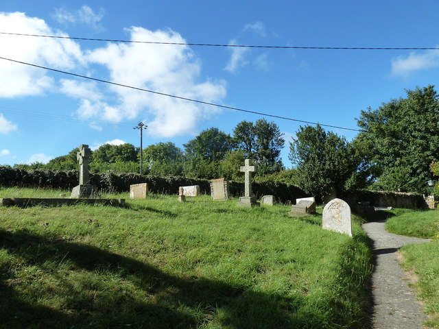
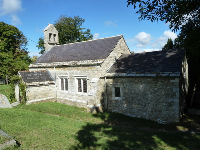
St Bartholomew's Chapel, Corton

St Bartholomew's Chapel is a Church of England chapel in Corton, near Weymouth, Dorset, England. The chapel has early 13th century origins, with later...

Corton Cutting

Corton Cutting (grid reference SY637855) is a 0.24 hectare geological Site of Special Scientific Interest in Dorset, England, notified in 1997. The site...

Nearby Amenities

Located within 500m of 50.653389,-2.5148642
Design: barrel
Power: tower
Lat/Long: 50.6514655/-2.5102828
Design: barrel
Power: tower
Lat/Long: 50.6545062/-2.5095866
Power: tower
Lat/Long: 50.6520442/-2.5089844
Power: tower
Lat/Long: 50.6531697/-2.5093763
Power: tower
Source: bing
Lat/Long: 50.654871/-2.510098
Power: tower
Lat/Long: 50.65622/-2.5105629
The data included in this document is from www.openstreetmap.org. The data is made available under ODbL.

Have you been to Dairy House Coppice?

Leave your review of Dairy House Coppice below (or comments, questions and feedback).