Gordon's Gorse

Wood, Forest in Dorset

England

Gordon's Gorse

The Holm Bushes
The Holm Bushes Credit: Richard Webb

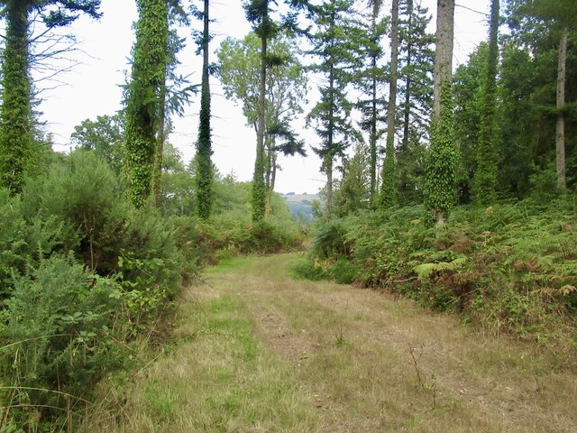
Gordon's Gorse is a wood located in the county of Dorset, England. Situated near the village of Hazelbury Bryan, it covers an area of approximately 100 acres. The wood is predominantly composed of gorse, a spiny evergreen shrub that is native to Western Europe.

The gorse bushes in Gordon's Gorse create a stunning and vibrant landscape, especially when in full bloom during spring and summer. The bright yellow flowers provide a striking contrast against the dark green foliage, making it a picturesque sight for visitors. The gorse also serves as an important habitat for various wildlife species, including birds, insects, and small mammals.

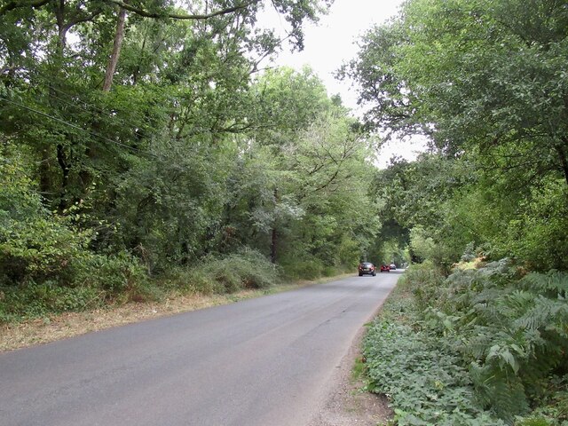
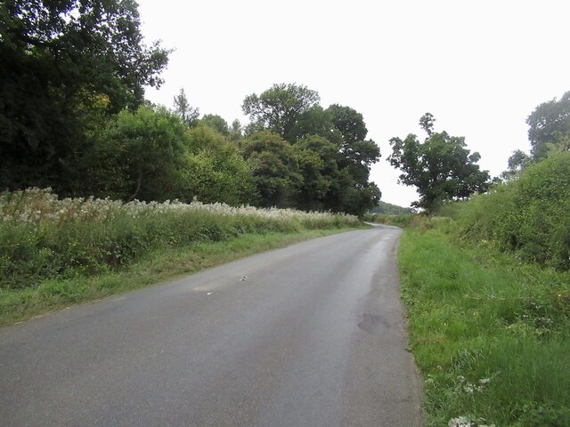
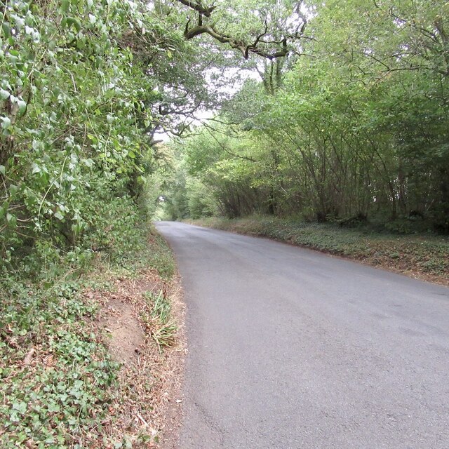
The wood is accessible to the public, with well-maintained footpaths and trails that allow visitors to explore its natural beauty. Walking through Gordon's Gorse, visitors can enjoy the peaceful ambiance and immerse themselves in the tranquility of the surroundings. The wood also offers a sense of seclusion, making it an ideal destination for those seeking a quiet retreat or nature lovers looking to observe the local flora and fauna.

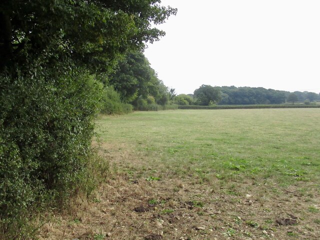
Gordon's Gorse is part of a larger network of woodlands in Dorset, contributing to the county's rich biodiversity. It provides a valuable habitat for numerous plant and animal species, helping to maintain the delicate balance of the local ecosystem. Whether it's a leisurely stroll or a wildlife spotting adventure, Gordon's Gorse offers an enjoyable experience for all who venture into its natural wonders.

If you have any feedback on the listing, please let us know in the comments section below.

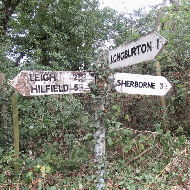
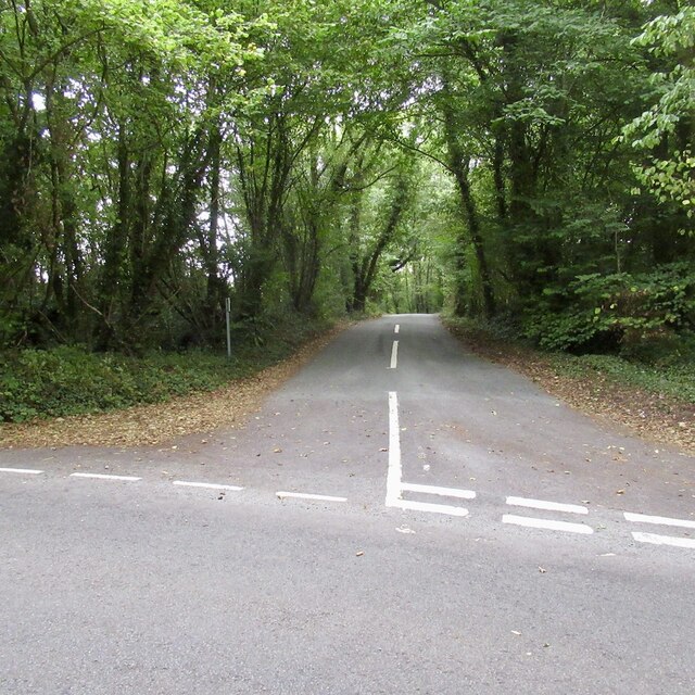
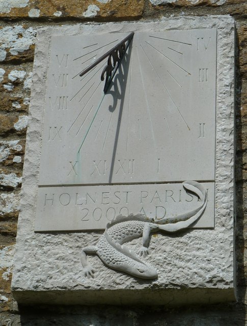
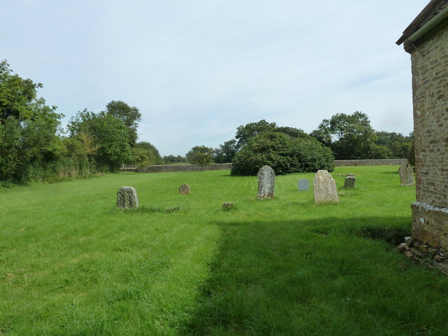
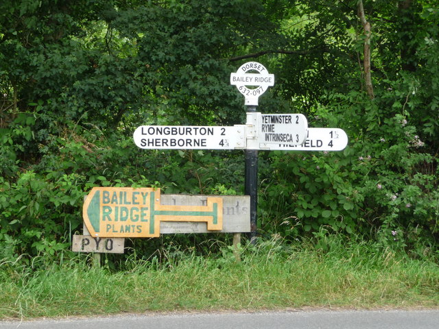
Gordon's Gorse Images

Images are sourced within 2km of 50.888256/-2.5175782 or Grid Reference ST6309. Thanks to Geograph Open Source API. All images are credited.

The Holm Bushes
The Holm Bushes
Road to Leigh, The Holm Bushes
Stockbridge
Stockbridge
Field, Stockbridge
Field, Stockbridge
Signpost, Dyke Head Plantation It has deteriorated since this: <a href="https://www.geograph.org.uk/photo/1192471">ST6411 : Signpost near Lillington</a> was taken in 2009.
Signpost, Dyke Head Plantation
It has deteriorated since this: ST6411 : Signpost near Lillington was taken in 2009.
Falling a fraction The signpost at Dyke Hill Plantation is in not so good condition as it was in 2009 <a href="https://www.geograph.org.uk/photo/1192471">ST6411 : Signpost near Lillington</a>
Falling a fraction
The signpost at Dyke Hill Plantation is in not so good condition as it was in 2009 ST6411 : Signpost near Lillington
Wait until they find out about wind farms I did not realise that photovoltaics were upsetting. A few weeks later this became a political issue under the short-lived premiership of Ms Truss (look her up*).

They should be grateful that they have so much sun.


*In the time between taking this picture and submitting it, we had lost a monarch and had three Prime Ministers.
Wait until they find out about wind farms
I did not realise that photovoltaics were upsetting. A few weeks later this became a political issue under the short-lived premiership of Ms Truss (look her up*). They should be grateful that they have so much sun. *In the time between taking this picture and submitting it, we had lost a monarch and had three Prime Ministers.
Road, Leweston
Road, Leweston
Dyke Head Plantation and Bradford Lane
Leigh: rich spring pasture along Bailey Ridge
Holnest Church, May evening
Grass field near Leigh The field has recently been mown and now it is being grazed by cattle.
Grass field near Leigh
The field has recently been mown and now it is being grazed by cattle.
St Mary's church, Holnest
Dreamy days in Dorset 71: Holnest As Pevsner <span class="nowrap"><a title="http://en.wikipedia.org/wiki/Nikolaus_Pevsner" rel="nofollow ugc noopener" href="http://en.wikipedia.org/wiki/Nikolaus_Pevsner">Link</a><img style="margin-left:2px;" alt="External link" title="External link - shift click to open in new window" src="https://s1.geograph.org.uk/img/external.png" width="10" height="10"/></span> puts it "St Mary's is on its own, a nice picture with its variety of roofs"
Dreamy days in Dorset 71: Holnest
As Pevsner LinkExternal link puts it "St Mary's is on its own, a nice picture with its variety of roofs"
Holnest Church: sundial Allowing for BST <span class="nowrap"><a title="http://en.wikipedia.org/wiki/British_Summer_Time" rel="nofollow ugc noopener" href="http://en.wikipedia.org/wiki/British_Summer_Time">Link</a><img style="margin-left:2px;" alt="External link" title="External link - shift click to open in new window" src="https://s1.geograph.org.uk/img/external.png" width="10" height="10"/></span> pretty much accurate to the minute!
Holnest Church: sundial
Allowing for BST LinkExternal link pretty much accurate to the minute!
Holnest Churchyard (I)
Holnest Churchyard (II)
Leigh: signpost at Bailey Ridge A finger-post with modern replacement fingers (they have adhesive rather than screw-on letters), and also with a modern replica of the Dorset finial giving location and grid reference. See <a href="https://www.geograph.org.uk/photo/4072232">ST6309 : Leigh: detail of Bailey Ridge signpost</a> for a close-up of the finial.
Leigh: signpost at Bailey Ridge
A finger-post with modern replacement fingers (they have adhesive rather than screw-on letters), and also with a modern replica of the Dorset finial giving location and grid reference. See ST6309 : Leigh: detail of Bailey Ridge signpost for a close-up of the finial.
Show me another place!

Gordon's Gorse is located at Grid Ref: ST6309 (Lat: 50.888256, Lng: -2.5175782)

Unitary Authority: Dorset

Police Authority: Dorset

What 3 Words

///homeward.diets.loaning. Near Yetminster, Dorset

Nearby Locations

Gordon's Gorse

Related Wikis

Holnest

Holnest is a village and civil parish in the county of Dorset in southern England. It lies in the Blackmore Vale 4 miles (6.4 km) south of Sherborne. It...

Leigh, Dorset

Leigh ( ) is a village and civil parish in the county of Dorset in southern England, situated approximately 5 miles (8.0 km) south-southwest of Sherborne...

Leweston School

Leweston School is an independent day and boarding school near Sherborne in Dorset, England. The school is co-educational in the Nursery and Preparatory...

Lillington, Dorset

Lillington is a hamlet and civil parish in north west Dorset, England, situated 3 miles (4.8 km) south of Sherborne. Dorset County Council estimate that...

Nearby Amenities

Located within 500m of 50.888256,-2.5175782
Holmbushes
Place: hamlet
Lat/Long: 50.887712/-2.5240701
The data included in this document is from www.openstreetmap.org. The data is made available under ODbL.

Have you been to Gordon's Gorse?

Leave your review of Gordon's Gorse below (or comments, questions and feedback).