Holts Flat

Wood, Forest in Lancashire Chorley

England

Holts Flat

Upgraded path, Horden Pastures Southward view towards Winter Hill. The path has been upgraded with long sections of gritstone slabs.
Upgraded path, Horden Pastures Credit: Richard Webb

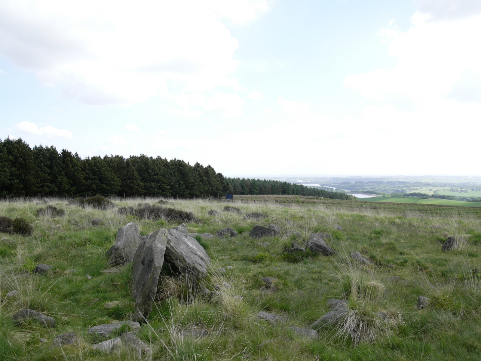
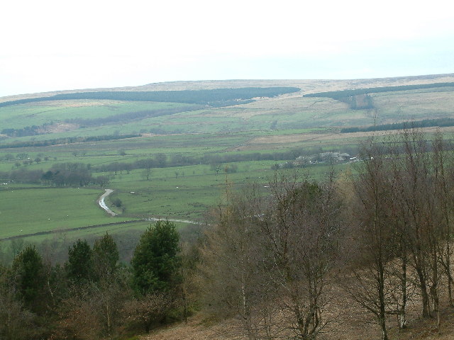
Holts Flat is a picturesque woodland area located in the county of Lancashire, England. Situated within the larger Forest of Bowland, Holts Flat is a tranquil and serene retreat for nature enthusiasts and outdoor adventurers alike.

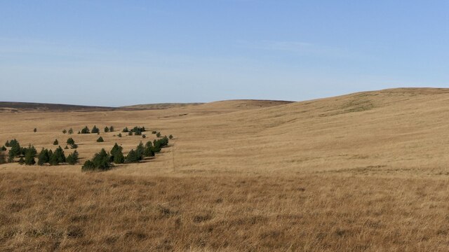
Covering an area of approximately 5 square miles, Holts Flat is characterized by its dense, ancient woodlands, which are predominantly composed of oak, birch, and beech trees. The forest floor is adorned with a vibrant carpet of ferns, bluebells, and wildflowers, creating a stunning display of colors during the spring and summer seasons.

The area is renowned for its diverse wildlife, making it a hotspot for nature lovers. Red deer, roe deer, and a variety of bird species, including woodpeckers and owls, can be spotted within the woodlands. The forest also provides a habitat for smaller creatures such as badgers, foxes, and squirrels.

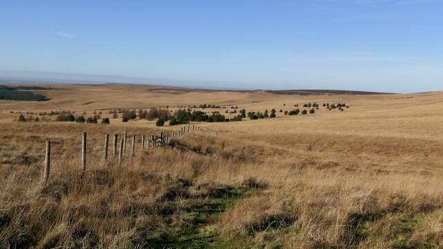
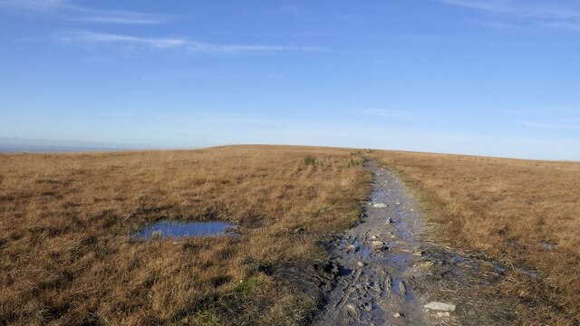
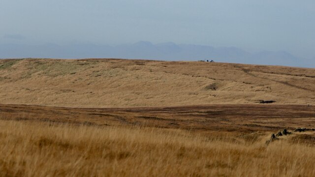
Holts Flat offers numerous walking trails and pathways, allowing visitors to explore the area's natural beauty at their own pace. The well-maintained tracks wind through the forest, offering glimpses of scenic viewpoints and tranquil streams along the way. It is a popular destination for hikers, joggers, and dog walkers who appreciate the peacefulness and solitude that the woodlands provide.

Overall, Holts Flat in Lancashire is a haven for those seeking solace in nature. With its ancient woodlands, diverse wildlife, and peaceful atmosphere, it offers a truly immersive experience for anyone wishing to escape the hustle and bustle of everyday life and reconnect with the natural world.

If you have any feedback on the listing, please let us know in the comments section below.

Holts Flat Images

Images are sourced within 2km of 53.647783/-2.5511906 or Grid Reference SD6316. Thanks to Geograph Open Source API. All images are credited.

Upgraded path, Horden Pastures Southward view towards Winter Hill. The path has been upgraded with long sections of gritstone slabs.
Upgraded path, Horden Pastures
Southward view towards Winter Hill. The path has been upgraded with long sections of gritstone slabs.
Horden Pasture The path along Spitler's Edge has been improved with slabs.
Horden Pasture
The path along Spitler's Edge has been improved with slabs.
Gate, Horden Pasture
Spitler's Edge A boggy moorland ridge. The path has been upgraded with long sections of slabs.
Spitler's Edge
A boggy moorland ridge. The path has been upgraded with long sections of slabs.
Western edge of Spitler's Edge There is a failed plantation on this side.
Western edge of Spitler's Edge
There is a failed plantation on this side.
Western side of Spitler's Edge There is a failed plantation, now scattered trees near the site of the Hempshaws.
Western side of Spitler's Edge
There is a failed plantation, now scattered trees near the site of the Hempshaws.
Spitler's Edge path Now upgraded and much drier than in the past.
Spitler's Edge path
Now upgraded and much drier than in the past.
Spitler's Edge Approaching the summit. The path has been upgraded and is of good quality.
Spitler's Edge
Approaching the summit. The path has been upgraded and is of good quality.
Path, Spitler's Edge Using the base of a vanished dyke to cross the rather boggy summit area.
Path, Spitler's Edge
Using the base of a vanished dyke to cross the rather boggy summit area.
Summit, Spitler's Edge
Northward view off Spitler's Edge Towards the aircraft works at Samlesbury and the Forest of Bowland.
Northward view off Spitler's Edge
Towards the aircraft works at Samlesbury and the Forest of Bowland.
Redmond's Edge A northward view from Spitler's Edge.
Redmond's Edge
A northward view from Spitler's Edge.
Slab path, Hordern Pasture The once boggy path has been improved with drainage and sections of old floor slabs.
Slab path, Hordern Pasture
The once boggy path has been improved with drainage and sections of old floor slabs.
Ruined dyke, Spltler's Edge Between the Hempshaws on the west side and Bromiley on the Belmont side.
Ruined dyke, Spltler's Edge
Between the Hempshaws on the west side and Bromiley on the Belmont side.
Rivington Road west of Belmont Layered clouds and faltering sunlight.
Rivington Road west of Belmont
Layered clouds and faltering sunlight.
Sparks Brow On Sheephouse Lane north east of Rivington.
Sparks Brow
On Sheephouse Lane north east of Rivington.
Barn on Deanhead Lane North East of Rivington.
Barn on Deanhead Lane
North East of Rivington.
Parson's Bullough Road Looking towards Anglesarke Reservoir.
Parson's Bullough Road
Looking towards Anglesarke Reservoir.
Show me another place!

Holts Flat is located at Grid Ref: SD6316 (Lat: 53.647783, Lng: -2.5511906)

Administrative County: Lancashire

District: Chorley

Police Authority: Lancashire

What 3 Words

///drag.stewing.laughs. Near Chorley, Lancashire

Nearby Locations

Holts Flat

Related Wikis

Pikestones

Pikestones is the remains of a Neolithic Burial Cairn, located on Anglezarke moor in Lancashire, England. The site is approximately 150 feet (45 metres...

Hurst Hill

Hurst Hill is a location on Anglezarke Moor, within the West Pennine Moors of Lancashire, England. With a height of 317 metres (1,040 feet), the summit...
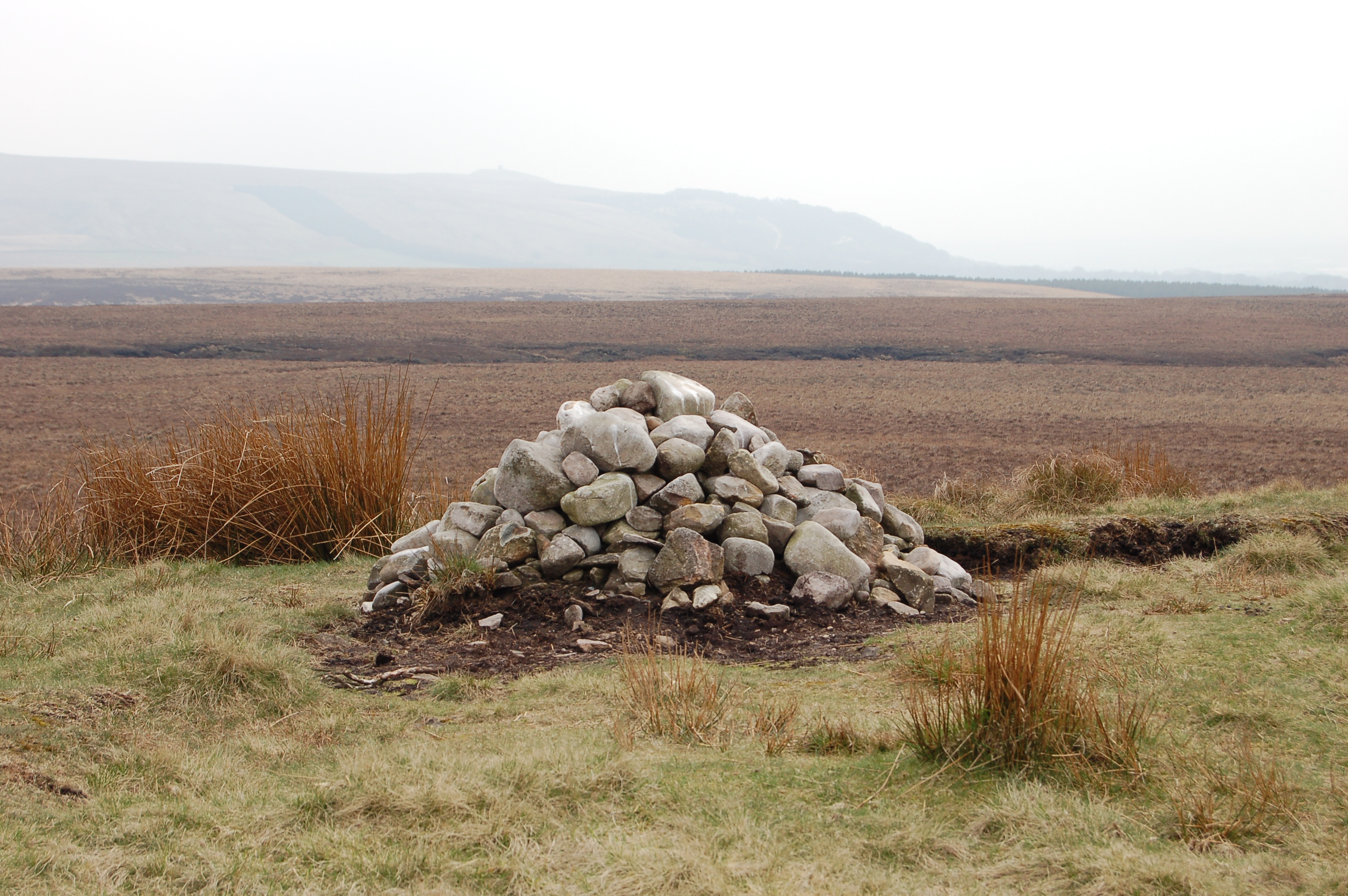
Round Loaf

Round Loaf is a late-Neolithic or Bronze Age tumulus on Anglezarke Moor in the West Pennine Moors near Chorley in Lancashire, England. The bowl barrow...

Anglezarke

Anglezarke is a sparsely populated civil parish in the Borough of Chorley in Lancashire, England. It is an agricultural area used for sheep farming and...

Nearby Amenities

Located within 500m of 53.647783,-2.5511906
White Ledge Hill
Natural: peak
Lat/Long: 53.6509255/-2.5472195
The data included in this document is from www.openstreetmap.org. The data is made available under ODbL.

Have you been to Holts Flat?

Leave your review of Holts Flat below (or comments, questions and feedback).