Grange Wood

Wood, Forest in Shropshire

England

Grange Wood

Flush Bracket 10259 at Tern Hill Farm, Ternhill For more details see: <span class="nowrap"><a title="https://www.bench-marks.org.uk/bm21884" rel="nofollow ugc noopener" href="https://www.bench-marks.org.uk/bm21884">Link</a><img style="margin-left:2px;" alt="External link" title="External link - shift click to open in new window" src="https://s1.geograph.org.uk/img/external.png" width="10" height="10"/></span>
Flush Bracket 10259 at Tern Hill Farm, Ternhill Credit: Meirion

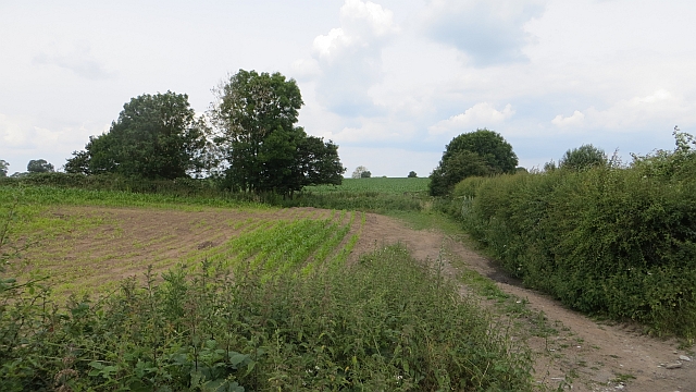
Grange Wood is a picturesque forest located in the county of Shropshire, England. It covers an area of approximately 100 acres and is characterized by its dense woodland, diverse flora and fauna, and peaceful atmosphere. The wood is home to a variety of tree species including oak, beech, and ash, as well as a range of wildlife such as deer, squirrels, and birds.

Visitors to Grange Wood can enjoy a network of walking trails that meander through the forest, allowing them to explore its natural beauty and tranquility. The wood is a popular destination for nature lovers, hikers, and birdwatchers, offering opportunities to spot rare and native species in their natural habitat.

In addition to its natural attractions, Grange Wood also has a rich history, with evidence of human activity dating back to ancient times. Archaeological finds such as burial mounds and ancient settlements have been discovered within the wood, adding to its cultural significance.

Overall, Grange Wood is a hidden gem in the heart of Shropshire, offering visitors a chance to connect with nature, explore its history, and enjoy a peaceful retreat from the hustle and bustle of everyday life.

If you have any feedback on the listing, please let us know in the comments section below.
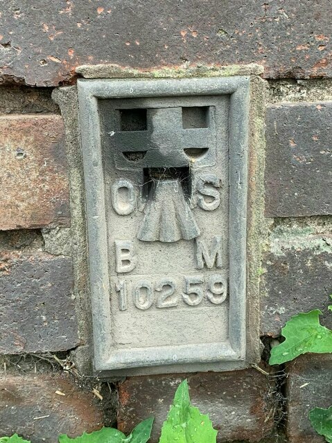
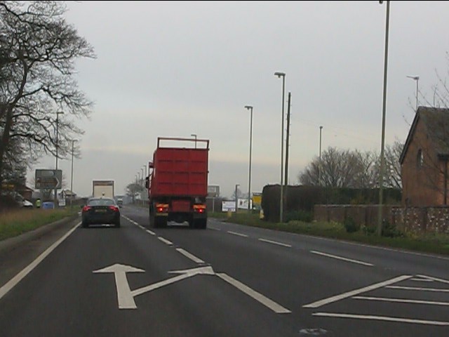
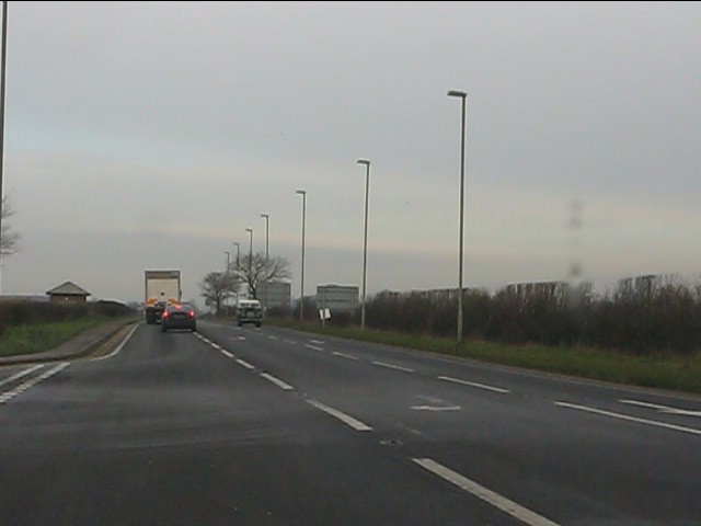
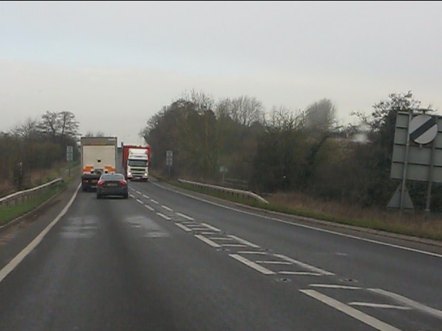
Grange Wood Images

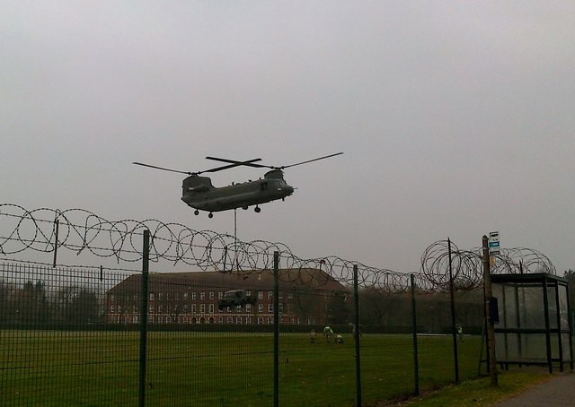
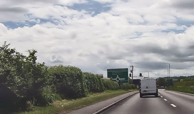
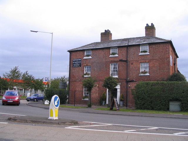
Images are sourced within 2km of 52.877732/-2.5414913 or Grid Reference SJ6331. Thanks to Geograph Open Source API. All images are credited.

Flush Bracket 10259 at Tern Hill Farm, Ternhill For more details see: <span class="nowrap"><a title="https://www.bench-marks.org.uk/bm21884" rel="nofollow ugc noopener" href="https://www.bench-marks.org.uk/bm21884">Link</a><img style="margin-left:2px;" alt="External link" title="External link - shift click to open in new window" src="https://s1.geograph.org.uk/img/external.png" width="10" height="10"/></span>
Flush Bracket 10259 at Tern Hill Farm, Ternhill
For more details see: LinkExternal link
Old Milepost by the former A53, Lostford, Hodnet parish Cast iron post by the UC road (was A53), in parish of HODNET (NORTH SHROPSHIRE District), Lostford; 165m Southeast of Lostford House Farmhouse, by the road, on East side of road. Salop iron T-post, erected by the County Council in the 19th/20th century. 

Inscription reads:-
: SALOP / 15 / MILES : : DRAYTON / 4 / MILES :

Grade II listed. 
List Entry Number: 1366826 <span class="nowrap"><a title="https://historicengland.org.uk/listing/the-list/list-entry/1366826" rel="nofollow ugc noopener" href="https://historicengland.org.uk/listing/the-list/list-entry/1366826">Link</a><img style="margin-left:2px;" alt="External link" title="External link - shift click to open in new window" src="https://s1.geograph.org.uk/img/external.png" width="10" height="10"/></span>

Milestone Society National ID: SA_MDSB04.
Old Milepost by the former A53, Lostford, Hodnet parish
Cast iron post by the UC road (was A53), in parish of HODNET (NORTH SHROPSHIRE District), Lostford; 165m Southeast of Lostford House Farmhouse, by the road, on East side of road. Salop iron T-post, erected by the County Council in the 19th/20th century. Inscription reads:- : SALOP / 15 / MILES : : DRAYTON / 4 / MILES : Grade II listed. List Entry Number: 1366826 LinkExternal link Milestone Society National ID: SA_MDSB04.
A41 approaching Warrant Farm crossroads
A41 at Warrant Farm crossroads
A41 at RAF Tern Hill
A41 at Tern Hill barracks
A41 at Ad Astra services Out of service when photographed.  Per ardua non ad astra, alas.
A41 at Ad Astra services
Out of service when photographed. Per ardua non ad astra, alas.
A41 crosses the River Tern
A41 north of Tern Hill roundabout The route confirmatory sign provides distances for Whitchurch, Chester and Birkenhead, the latter the A41's northern terminus.
A41 north of Tern Hill roundabout
The route confirmatory sign provides distances for Whitchurch, Chester and Birkenhead, the latter the A41's northern terminus.
A41 at the junction for Red House Farm
A41 near Red House Farm
Abandoned farm buildings at Stoke Grange A once proud and prosperpous farm complex is looking pretty derelict and unloved here. I recall first seeing it from the new bypass road several years ago. It was striking then but I was surprised and disappointed to find it still empty six years later.
Abandoned farm buildings at Stoke Grange
A once proud and prosperpous farm complex is looking pretty derelict and unloved here. I recall first seeing it from the new bypass road several years ago. It was striking then but I was surprised and disappointed to find it still empty six years later.
Mortimer Road
Mortimer Road
RAF Tern Hill Chinook Chinook dropping off a Land-Rover on the sports field of Tern Hill Barracks.
RAF Tern Hill Chinook
Chinook dropping off a Land-Rover on the sports field of Tern Hill Barracks.
RAF Tern Hill - Chinook Chinook unhooks a Land-Rover and trailer after dropping them on to the sports field of Tern Hill barracks.
RAF Tern Hill - Chinook
Chinook unhooks a Land-Rover and trailer after dropping them on to the sports field of Tern Hill barracks.
A53 at Shady Hollow
A53 at Shady Hollow
A53 approaching roundabout at Ternhill
Fodder maize A crop getting going beside the A53.
Fodder maize
A crop getting going beside the A53.
Show me another place!

Grange Wood is located at Grid Ref: SJ6331 (Lat: 52.877732, Lng: -2.5414913)

Unitary Authority: Shropshire

Police Authority: West Mercia

What 3 Words

///union.imperious.flattens. Near Stoke upon Tern, Shropshire

Related Wikis

No. 10 Flying Training School RAF

No. 10 Flying Training School (10 FTS) is a former Royal Air Force flying training school that operated between 1936 and 1954. == History == === First... ===

Ternhill

Tern Hill, also known as Ternhill, is a village in Shropshire, England, notable as the location of the former RAF Tern Hill station, which is now operated...

RAF Tern Hill

Royal Air Force Tern Hill, or more simply RAF Tern Hill, (ICAO: EGOE) was a Royal Air Force station at Ternhill in Shropshire, England, near the towns...

Clive Barracks

Clive Barracks is a British Army installation at Ternhill, Shropshire, England. It is set to close in 2029. == History == The barracks were established...

Nearby Amenities

Located within 500m of 52.877732,-2.5414913
Tern Hill
Place: village
Lat/Long: 52.8814358/-2.5415112
TERNHILL1
Disused: yes
Man Made: petroleum_well
Ref GB Decc: LM/03-1
Source: DECC
Lat/Long: 52.8776944/-2.5472222
Man Made: wastewater_plant
Lat/Long: 52.880683/-2.5407148
The data included in this document is from www.openstreetmap.org. The data is made available under ODbL.

Have you been to Grange Wood?

Leave your review of Grange Wood below (or comments, questions and feedback).