Rookery Wood

Wood, Forest in Cheshire

England

Rookery Wood

Road near Wettenhall Cottages Winsford Road is part of National Cycle Network route 551.
Road near Wettenhall Cottages Credit: DS Pugh

Rookery Wood, located in Cheshire, is a picturesque woodland area that spans over 100 acres of land. Situated in the northwestern part of England, this ancient forest is renowned for its natural beauty, diverse wildlife, and historical significance.

The woodland predominantly consists of a mix of deciduous and coniferous trees, creating a rich tapestry of colors throughout the seasons. The towering oak, beech, and birch trees provide a dense canopy that shelters a plethora of wildlife species, including deer, foxes, badgers, and numerous bird species. The wood is also home to a variety of plant species, including bluebells, wild garlic, and ferns, which add to its enchanting atmosphere.

Rookery Wood holds a profound historical significance, with evidence of human activity dating back to ancient times. The presence of an Iron Age hill fort on the site suggests that the wood was inhabited and utilized for defensive purposes by early settlers. Additionally, remnants of charcoal-making platforms and stone quarries indicate the wood's historical importance for industrial activities in the past.

Today, Rookery Wood serves as a popular destination for nature enthusiasts, walkers, and families seeking tranquility and outdoor recreation. The wood offers numerous well-maintained walking trails, allowing visitors to immerse themselves in its natural beauty and discover its hidden treasures. The Cheshire Wildlife Trust, which manages the wood, organizes educational programs and guided walks to promote conservation and raise awareness about the area's ecological importance.

In summary, Rookery Wood in Cheshire is a captivating woodland that offers visitors a unique blend of natural beauty, wildlife diversity, and historical significance. Its rich tapestry of trees, plants, and animals make it a haven for nature lovers and a must-visit destination for anyone seeking solace in the great outdoors.

If you have any feedback on the listing, please let us know in the comments section below.

Rookery Wood Images

Images are sourced within 2km of 53.169934/-2.546092 or Grid Reference SJ6363. Thanks to Geograph Open Source API. All images are credited.

Road near Wettenhall Cottages Winsford Road is part of National Cycle Network route 551.
Road near Wettenhall Cottages
Winsford Road is part of National Cycle Network route 551.
Winsford Road near Stockerlane Farm The road is part of National Cycle Network route 551.
Winsford Road near Stockerlane Farm
The road is part of National Cycle Network route 551.
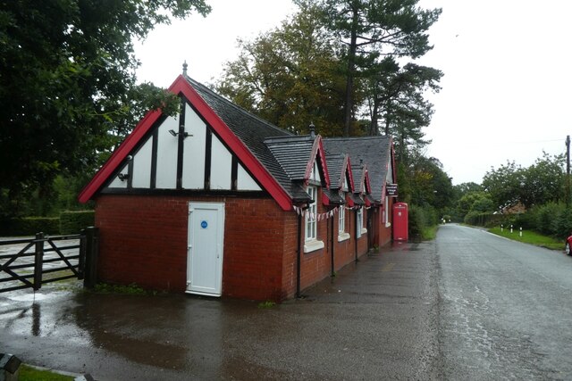
Darnhall Village Hall Looking along Hall Lane in Darnhall.
Darnhall Village Hall
Looking along Hall Lane in Darnhall.
Rose Cottage A house on Hall Lane near Darnhall.
Rose Cottage
A house on Hall Lane near Darnhall.
Darnhall School Lane At the junction with Leyland Walk.
Darnhall School Lane
At the junction with Leyland Walk.
Leyland Walk Viewed from the junction with Darnhall School Lane.
Leyland Walk
Viewed from the junction with Darnhall School Lane.
The Old Star The pub stands on Swanlow Lane opposite the junction with Darnhall School Lane.
The Old Star
The pub stands on Swanlow Lane opposite the junction with Darnhall School Lane.
Gladstone Street, Winsford Looking northeast down Gladstone Street towards the Weaver Valley. The housing here is ex-local authority stock probably built just after the second World War.
Gladstone Street, Winsford
Looking northeast down Gladstone Street towards the Weaver Valley. The housing here is ex-local authority stock probably built just after the second World War.
Housing on the Over Estate , Winsford Local authority housing built to accommodate those displaced by Liverpool's slum clearance programme in the 1960s/70s. This estate received government Estate Action Programme resources in the late 1980s in an attempt to reverse physical and social decline. Brick walls with railings provided what was known then as "defensible space" and add-on porches helped to increase the feeling of security.
Housing on the Over Estate , Winsford
Local authority housing built to accommodate those displaced by Liverpool's slum clearance programme in the 1960s/70s. This estate received government Estate Action Programme resources in the late 1980s in an attempt to reverse physical and social decline. Brick walls with railings provided what was known then as "defensible space" and add-on porches helped to increase the feeling of security.
Darnhall Knobs, Winsford Two stone pillars stand at the road junction known as Darnhall Knobs (Darnhall School Lane, Moors Lane, Hall Lane). A local web site describes the location...
"In 1897 to mark the celebration of Queen Victoria's Diamond Jubilee, one of the stone columns, which fell down 70 years previous, was re-erected at the Knobs. The bricks that were used, were taken from a cottage which was built two or three hundred years ago. This column was erected parallel to a similar one of very ancient date. In the base of the pillar, were placed newspapers giving an account of the opening of the Verdin Technical School, Northwich, by her grace the Duchess of Westminster." <span class="nowrap"><a title="http://www.darnhall.org.uk/History.htm" rel="nofollow ugc noopener" href="http://www.darnhall.org.uk/History.htm">Link</a><img style="margin-left:2px;" alt="External link" title="External link - shift click to open in new window" src="https://s1.geograph.org.uk/img/external.png" width="10" height="10"/></span>
Darnhall Knobs, Winsford
Two stone pillars stand at the road junction known as Darnhall Knobs (Darnhall School Lane, Moors Lane, Hall Lane). A local web site describes the location... "In 1897 to mark the celebration of Queen Victoria's Diamond Jubilee, one of the stone columns, which fell down 70 years previous, was re-erected at the Knobs. The bricks that were used, were taken from a cottage which was built two or three hundred years ago. This column was erected parallel to a similar one of very ancient date. In the base of the pillar, were placed newspapers giving an account of the opening of the Verdin Technical School, Northwich, by her grace the Duchess of Westminster." LinkExternal link
Stone Pillar, Darnhall Knobs One of the stone pillars at Darnhall Knobs
Stone Pillar, Darnhall Knobs
One of the stone pillars at Darnhall Knobs
Darnhall Village Hall Darnhall - the Centre of Cheshire.
Two oak trees stand close to the village hall, to mark the centre of the county. 
see <span class="nowrap"><a title="http://www.darnhall.org.uk" rel="nofollow ugc noopener" href="http://www.darnhall.org.uk">Link</a><img style="margin-left:2px;" alt="External link" title="External link - shift click to open in new window" src="https://s1.geograph.org.uk/img/external.png" width="10" height="10"/></span>
Darnhall Village Hall
Darnhall - the Centre of Cheshire. Two oak trees stand close to the village hall, to mark the centre of the county. see LinkExternal link
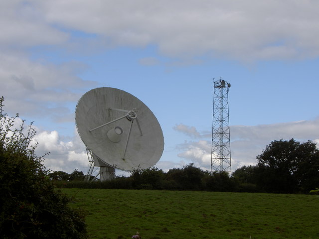
Microwave Dish, Darnhall This small radio telescope forms part of the Jodrell Bank complex.
Microwave Dish, Darnhall
This small radio telescope forms part of the Jodrell Bank complex.
The Raven Inn, on the B5074 Swanlow lane, Darnhall, nr Winsford . The Raven Inn Darnhall, set on Swanlow lane near Winsford.
Darnhall is a quiet village on the outskirts of Winsford, it was originally known as Dernehole (a hidden place) in Saxon times.
Darnhall is now recognised as the centre of Cheshire.
The Raven Inn, on the B5074 Swanlow lane, Darnhall, nr Winsford .
The Raven Inn Darnhall, set on Swanlow lane near Winsford. Darnhall is a quiet village on the outskirts of Winsford, it was originally known as Dernehole (a hidden place) in Saxon times. Darnhall is now recognised as the centre of Cheshire.
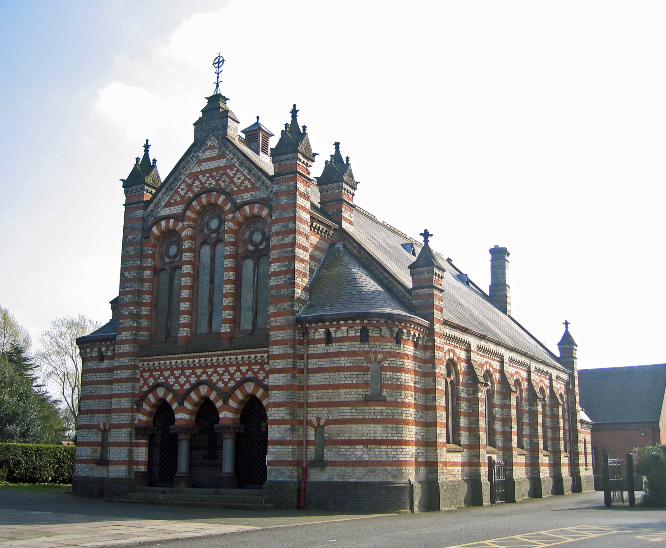
Weaver methodist church, Darnhall, nr Winsford. Photo of Weaver methodist church on the B5074 set a small distance from the Raven inn on the opposite side of Swanlow lane, Darnhall in the centre of Cheshire.
Weaver methodist church, Darnhall, nr Winsford.
Photo of Weaver methodist church on the B5074 set a small distance from the Raven inn on the opposite side of Swanlow lane, Darnhall in the centre of Cheshire.
Fennywood Farm Farmhouse at Fennywood Farm
Fennywood Farm
Farmhouse at Fennywood Farm
Woodford Hall Outbuilding at Woodford Hall.
Woodford Hall
Outbuilding at Woodford Hall.
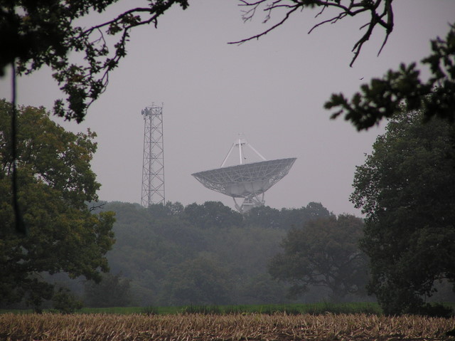
Radio Telescope near Darnhall. Photograph taken from the footpath just to the south-east of the telescope.
Radio Telescope near Darnhall.
Photograph taken from the footpath just to the south-east of the telescope.
Show me another place!

Rookery Wood is located at Grid Ref: SJ6363 (Lat: 53.169934, Lng: -2.546092)

Unitary Authority: Cheshire West and Chester

Police Authority: Cheshire

What 3 Words

///magma.commended.mining. Near Over, Cheshire

Related Wikis

Darnhall

Darnhall is a civil parish and small village to the south west of Winsford in the Borough of Cheshire West and Chester and the ceremonial county of Cheshire...

Over, Cheshire

Over is an ancient borough, mentioned in the Domesday Book, now a part of Winsford in Cheshire West in Cheshire, England. Wharton forms the eastern part...

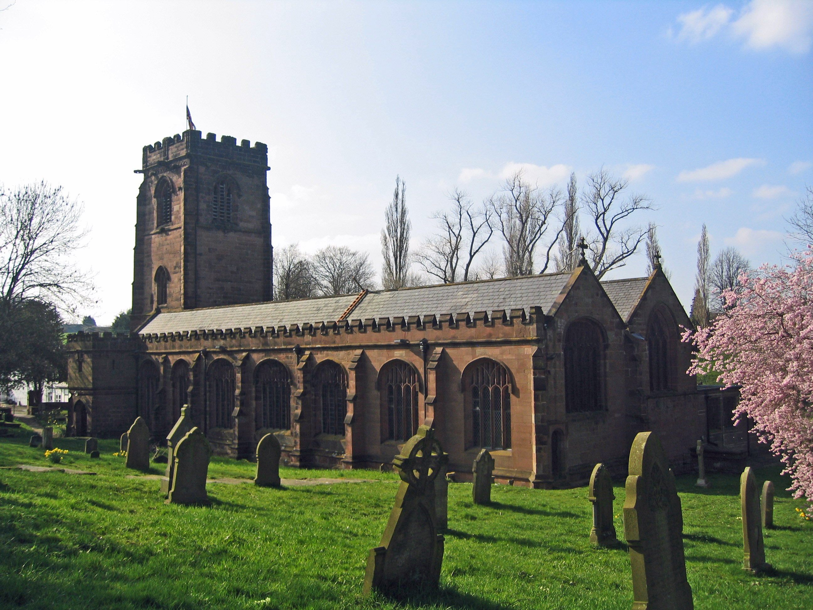
St Chad's Church, Over

St Chad's Church, Over, is in the town of Winsford, Cheshire, England. It was formerly in the separate town of Over, but with the growth of Winsford it...

Over United Reformed Church

Over United Reformed Church is in Swanlow Lane, Over, Winsford, Cheshire, England. It was built as a Congregational chapel and is now a United Reformed...

Nearby Amenities

Located within 500m of 53.169934,-2.546092
The data included in this document is from www.openstreetmap.org. The data is made available under ODbL.

Have you been to Rookery Wood?

Leave your review of Rookery Wood below (or comments, questions and feedback).