Marsh Lane Covert

Wood, Forest in Cheshire

England

Marsh Lane Covert

Baddington Lane Bridge Carrying the A530 over the Shropshire Union Canal
Baddington Lane Bridge Credit: Andrew Abbott

Marsh Lane Covert is a charming woodland located in Cheshire, England. Covering an area of approximately 50 acres, this tranquil forest is a popular destination for nature enthusiasts and those seeking a peaceful retreat from the hustle and bustle of everyday life.

The woodland is predominantly composed of native deciduous trees, such as oak, beech, and birch, which create a diverse and picturesque landscape. The forest floor is adorned with a rich carpet of ferns, bluebells, and wildflowers, further enhancing the natural beauty of the area.

Marsh Lane Covert is home to a wide variety of wildlife, making it a haven for nature lovers and wildlife enthusiasts alike. Visitors may be lucky enough to spot deer, squirrels, rabbits, and a plethora of bird species including woodpeckers, owls, and songbirds.

The forest boasts several well-maintained footpaths and trails, providing ample opportunities for hiking, walking, and nature exploration. Along these paths, visitors can discover hidden glades, bubbling brooks, and peaceful ponds that contribute to the overall serenity of the woodland.

The forest is also equipped with picnic areas, making it an ideal spot for families and friends to enjoy a leisurely day out. Additionally, educational guided tours and nature workshops are organized periodically, offering visitors the chance to learn more about the local flora and fauna.

Overall, Marsh Lane Covert is a captivating woodland retreat that offers a harmonious blend of natural beauty, wildlife encounters, and recreational opportunities. Whether it's a peaceful stroll, a picnic in the shade, or an immersive nature experience, this Cheshire forest is sure to enchant all who venture into its leafy embrace.

If you have any feedback on the listing, please let us know in the comments section below.

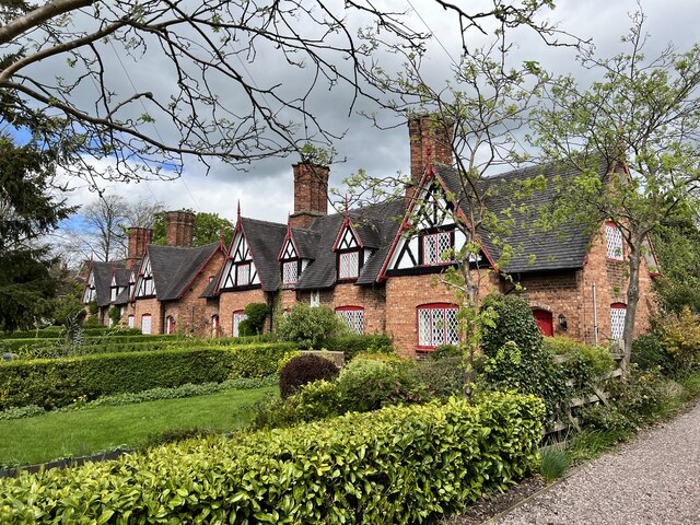
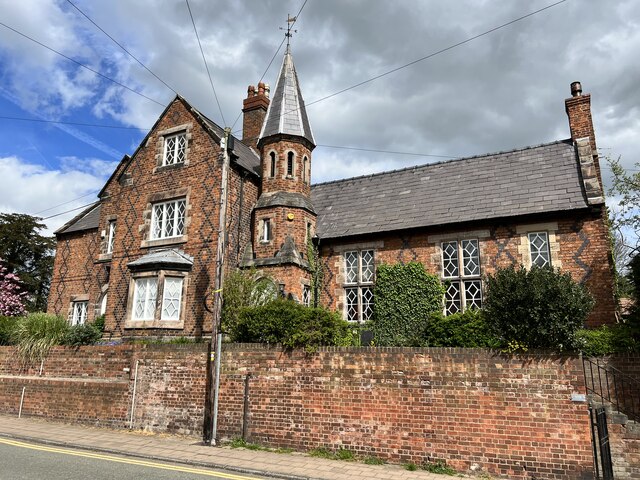
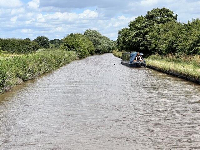
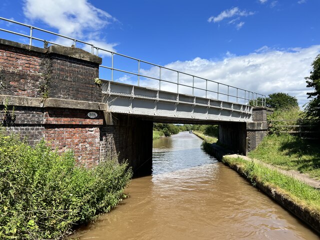
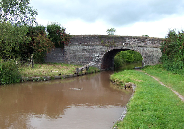
Marsh Lane Covert Images

Images are sourced within 2km of 53.059415/-2.5455135 or Grid Reference SJ6351. Thanks to Geograph Open Source API. All images are credited.

Baddington Lane Bridge Carrying the A530 over the Shropshire Union Canal
Baddington Lane Bridge
Carrying the A530 over the Shropshire Union Canal
Skeletal remains The remains of a tree near Baddington Farm.
Skeletal remains
The remains of a tree near Baddington Farm.
A530 near Baddington House
Baddington Lane Bridge Baddington Lane Bridge on the Shropshire Union Canal.
Baddington Lane Bridge
Baddington Lane Bridge on the Shropshire Union Canal.
The Shroppie goes beneath the A530
Nantwich Aqueduct Grade II* listed. Listing number 1330146. Dating from 1826.
Nantwich Aqueduct
Grade II* listed. Listing number 1330146. Dating from 1826.
Wilbraham's Almshouses Grade II listed. Listing number 1249725. Dated 1870.
Wilbraham's Almshouses
Grade II listed. Listing number 1249725. Dated 1870.
2 Hospital Street, 1-5 Pillory Street, Nantwich Grade II listed. Listing number 1373915. 1911. Architect, E H Edleston of Edleston & Bower.
2 Hospital Street, 1-5 Pillory Street, Nantwich
Grade II listed. Listing number 1373915. 1911. Architect, E H Edleston of Edleston & Bower.
108 Welsh Row, Nantwich Grade II listed. Listing number 1263595 The former Grammar School and Headmaster's House. Mid 19th century.
108 Welsh Row, Nantwich
Grade II listed. Listing number 1263595 The former Grammar School and Headmaster's House. Mid 19th century.
Shropshire Union Canal Just north of Edleston Bridge.
Shropshire Union Canal
Just north of Edleston Bridge.
Edleston bridge Carrying the Crewe to Shrewsbury railway line over the Shropshire Union Canal.
Edleston bridge
Carrying the Crewe to Shrewsbury railway line over the Shropshire Union Canal.
The Old Constabulary At 94-96 Welsh Row, Nantwich. Probably by Harry Beswick, architect.
The Old Constabulary
At 94-96 Welsh Row, Nantwich. Probably by Harry Beswick, architect.
9 Hospital Street, Nantwich Grade II listed. Listing number 1039606. C19 roughcast and sham timber frame to original timber frame revealed at rear; 2 storeys plus attic; 2 casement windows with modern glazing. Curved angle and returned side to Church Lane with overhang at 1st floor.
9 Hospital Street, Nantwich
Grade II listed. Listing number 1039606. C19 roughcast and sham timber frame to original timber frame revealed at rear; 2 storeys plus attic; 2 casement windows with modern glazing. Curved angle and returned side to Church Lane with overhang at 1st floor.
Nantwich Millennium Clock The 'Nantwich Millennium Clock' by Paul Beckett is a mechanical clock which is electronically rewound. It is a free-standing clock which is intended to invite the viewer to explore how time is created mechanically.. The glass case is engraved with symbols marking various aspects of the town, such as Tudor buildings, the Fire of Nantwich in 1583, the Civil War, and a cocoa plant representing the Cocoa Yard.
Nantwich Millennium Clock
The 'Nantwich Millennium Clock' by Paul Beckett is a mechanical clock which is electronically rewound. It is a free-standing clock which is intended to invite the viewer to explore how time is created mechanically.. The glass case is engraved with symbols marking various aspects of the town, such as Tudor buildings, the Fire of Nantwich in 1583, the Civil War, and a cocoa plant representing the Cocoa Yard.
Nantwich Aqueduct Grade II* listed. Listing number 1330146. Aqueduct carrying the main line of the Shropshire Union Canal over the Chester to Nantwich Road. Circa 1826 (consultant Thomas Telford).
Nantwich Aqueduct
Grade II* listed. Listing number 1330146. Aqueduct carrying the main line of the Shropshire Union Canal over the Chester to Nantwich Road. Circa 1826 (consultant Thomas Telford).
Shropshire Union Canal The embankment in Nantwich.
Shropshire Union Canal
The embankment in Nantwich.
Junction bridge Grade II listed. Listing number 1136456. Tow path roving bridge to Basin End, circa 1826 (consultant T.Telford). Engineering bricks in English Bond with added thin protective coating. Elliptical skew arch, on one metre high abutments. Flush stone dressed arch quoins and projecting carriageway bands. Stone edgings to canal. Cast iron rubbing posts to angles of arch. Blue brick paving with raised courses to tow path beneath bridge. Humped bridge with splayed approach walls, rounded stone parapet copings and 4-way rounded pier caps.
Junction bridge
Grade II listed. Listing number 1136456. Tow path roving bridge to Basin End, circa 1826 (consultant T.Telford). Engineering bricks in English Bond with added thin protective coating. Elliptical skew arch, on one metre high abutments. Flush stone dressed arch quoins and projecting carriageway bands. Stone edgings to canal. Cast iron rubbing posts to angles of arch. Blue brick paving with raised courses to tow path beneath bridge. Humped bridge with splayed approach walls, rounded stone parapet copings and 4-way rounded pier caps.
Crown Hotel The splendid half-timbered hotel, built in the late C16, dazzling in spring morning sunshine.
Crown Hotel
The splendid half-timbered hotel, built in the late C16, dazzling in spring morning sunshine.
Show me another place!

Marsh Lane Covert is located at Grid Ref: SJ6351 (Lat: 53.059415, Lng: -2.5455135)

Unitary Authority: Cheshire East

Police Authority: Cheshire

What 3 Words

///bricks.baker.probable. Near Nantwich, Cheshire

Related Wikis

Edleston

Edleston is a former civil parish, now in the parishes of Burland and Acton and Nantwich, in the unitary authority area of Cheshire East and the ceremonial...

Dorfold Hall

Dorfold Hall (SJ635524) is a Grade I listed Jacobean mansion in Acton, Cheshire, England, considered by Nikolaus Pevsner to be one of the two finest Jacobean...

International Cheese Awards

The International Cheese Awards is an annual cheese show and competition. Until 2019, it was held at Dorfold Park near Nantwich, England. Held since 1897...
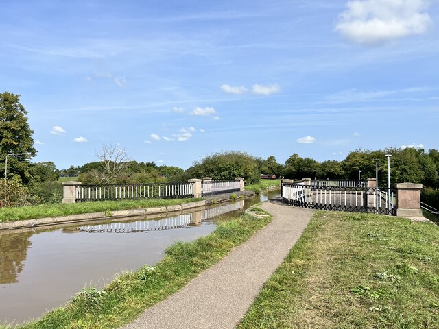
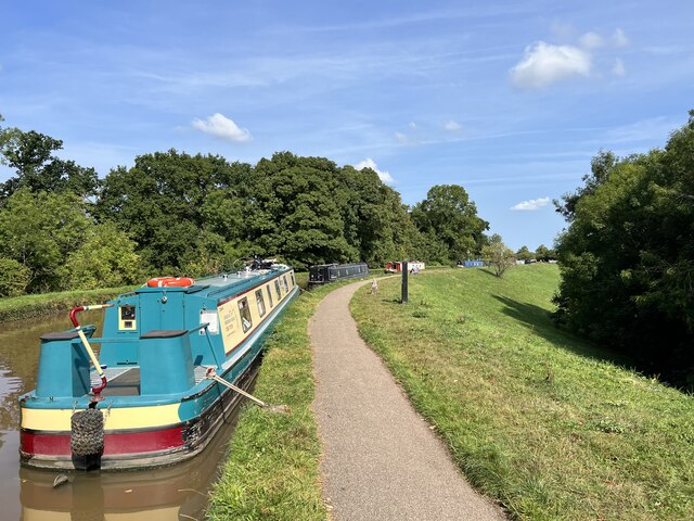
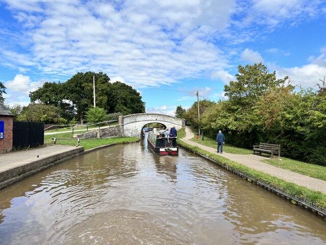
Nantwich Aqueduct

Nantwich Aqueduct is a navigable aqueduct in Acton in Cheshire, England, which carries the Shropshire Union Canal over the Chester to Nantwich road. Designed...

Nearby Amenities

Located within 500m of 53.059415,-2.5455135
Barrier: stile
Foot: yes
Lat/Long: 53.0595431/-2.5427804
Barrier: stile
Foot: yes
Lat/Long: 53.0578825/-2.5422638
Barrier: stile
Foot: yes
Lat/Long: 53.0598172/-2.5429738
Power: pole
Source: EsriWorldImageryClarity
Lat/Long: 53.0590454/-2.5497558
Addr Housename: Marsh Lane House
Lat/Long: 53.0604525/-2.5415633
Addr Housename: Dig Lane Cottage
Lat/Long: 53.0599289/-2.5497494
Power: pole
Lat/Long: 53.0573752/-2.5466301
Power: pole
Lat/Long: 53.0570827/-2.544609
Power: pole
Lat/Long: 53.0569142/-2.5433913
Power: pole
Lat/Long: 53.056574/-2.5409451
Power: pole
Lat/Long: 53.0567578/-2.5422782
The data included in this document is from www.openstreetmap.org. The data is made available under ODbL.

Have you been to Marsh Lane Covert?

Leave your review of Marsh Lane Covert below (or comments, questions and feedback).