Heartside Plantation

Wood, Forest in Westmorland South Lakeland

England

Heartside Plantation

High Road near Middleton Hall High in the sense of being a bit further up the hillside than the main road near the river, rather than any sense of importance.
High Road near Middleton Hall Credit: Stephen Craven

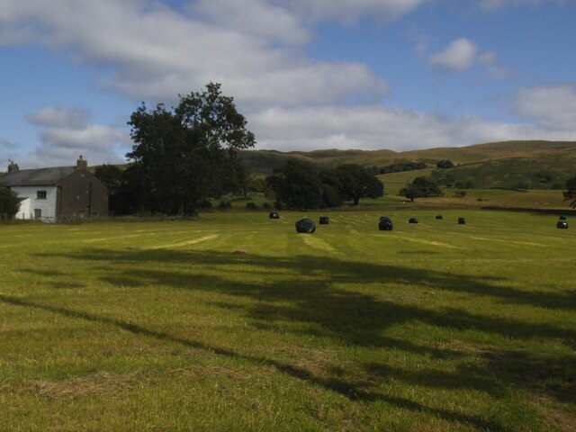
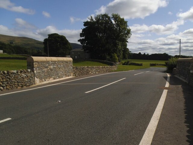
Heartside Plantation is a stunning property located in Westmorland, a picturesque region known for its lush woodlands and enchanting forests. Situated on sprawling grounds, this plantation offers a serene and idyllic setting for those seeking tranquility and natural beauty.

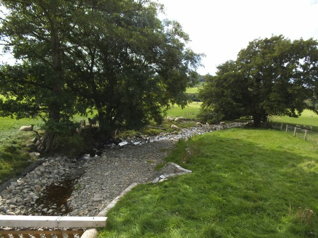
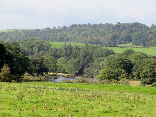
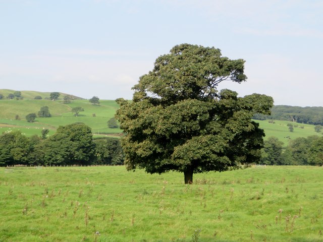
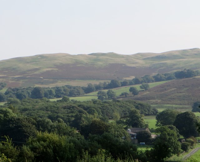
The plantation itself is nestled amidst towering trees and verdant foliage, creating a sense of seclusion and privacy. The property boasts a diverse range of plant life, with a mix of native and exotic species that enhance its visual appeal. The vibrant colors and fragrant aromas of the flowers and shrubs that populate the plantation create a feast for the senses.

Heartside Plantation also features a charming wooden house that exudes rustic elegance. The architecture seamlessly blends with the surrounding environment, incorporating elements that pay homage to the rich history of the area. The interior of the house is equally as impressive, with spacious rooms and tasteful décor that create a welcoming and comfortable atmosphere.

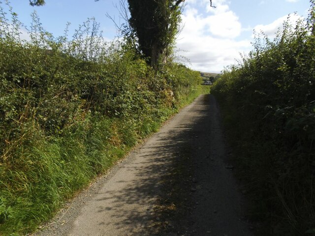
One of the highlights of Heartside Plantation is its extensive forest, which offers ample opportunities for exploration and outdoor activities. Visitors can take leisurely strolls along the scenic trails, immersing themselves in the natural splendor that surrounds them. The forest is home to a variety of wildlife, including deer, birds, and small mammals, adding to the enchantment of the plantation.

Overall, Heartside Plantation is a captivating destination that showcases the beauty of Westmorland's woodlands and forests. Whether one seeks solitude, a connection with nature, or simply a retreat from the hustle and bustle of everyday life, this plantation offers a truly unforgettable experience.

If you have any feedback on the listing, please let us know in the comments section below.

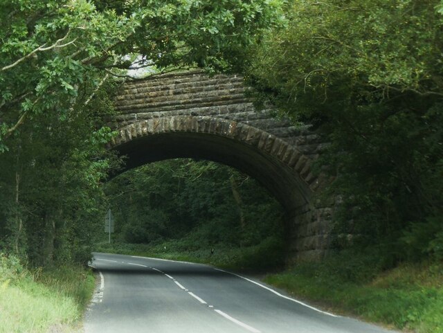
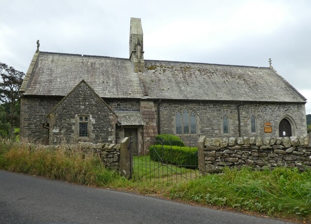
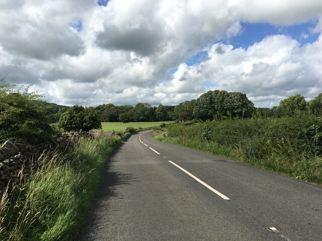
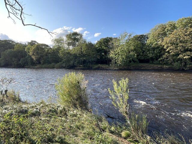
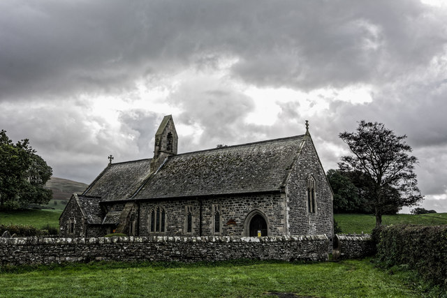
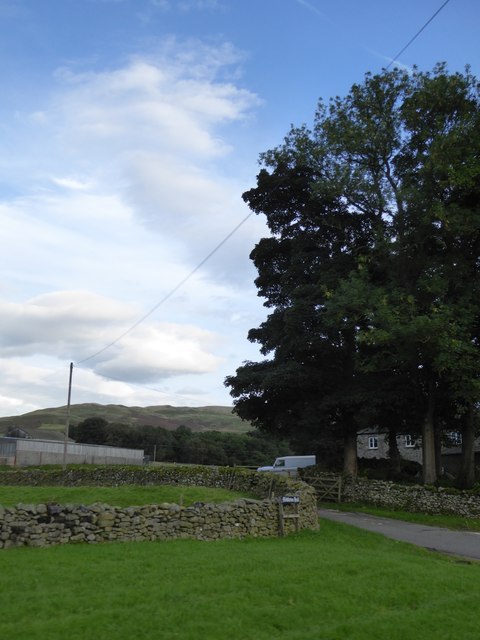
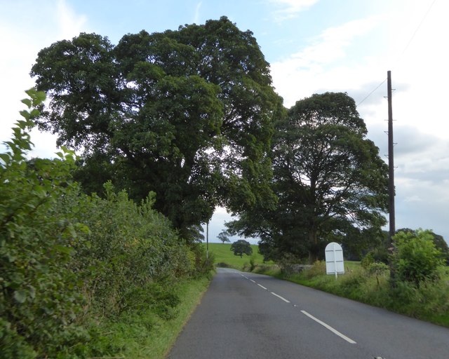
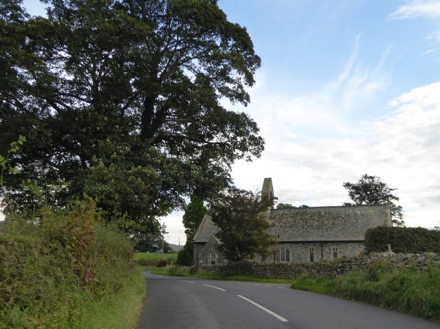
Heartside Plantation Images

Images are sourced within 2km of 54.271868/-2.5618076 or Grid Reference SD6386. Thanks to Geograph Open Source API. All images are credited.

High Road near Middleton Hall High in the sense of being a bit further up the hillside than the main road near the river, rather than any sense of importance.
High Road near Middleton Hall
High in the sense of being a bit further up the hillside than the main road near the river, rather than any sense of importance.
Bales at High Green Probably bales of haylage.
Bales at High Green
Probably bales of haylage.
The rebuilt Middleton Hall Bridge The bridge carries the A683 over what is normally a minor beck <a href="https://www.geograph.org.uk/photo/6814291">SD6287 : The Middleton Hall Beck</a>.  But it was damaged by 'Storm Desmond' in December 2015 and after a few years of a temporary bridge, this permanent replacement opened on 2 August 2019.  It cost £550,000 and is constructed from pre-cast concrete, with rock armour on the bank of the stream  to protect the bridge from future scouring. Source: <span class="nowrap"><a title="https://news.cumbria.gov.uk/News/2019/middletonhallbridgereplacementsettoopen.aspx" rel="nofollow ugc noopener" href="https://news.cumbria.gov.uk/News/2019/middletonhallbridgereplacementsettoopen.aspx">Link</a><img style="margin-left:2px;" alt="External link" title="External link - shift click to open in new window" src="https://s1.geograph.org.uk/img/external.png" width="10" height="10"/></span>
The rebuilt Middleton Hall Bridge
The bridge carries the A683 over what is normally a minor beck SD6287 : The Middleton Hall Beck. But it was damaged by 'Storm Desmond' in December 2015 and after a few years of a temporary bridge, this permanent replacement opened on 2 August 2019. It cost £550,000 and is constructed from pre-cast concrete, with rock armour on the bank of the stream to protect the bridge from future scouring. Source: LinkExternal link
Middleton Hall Beck Normally a minor beck but as flash flood in 'Storm Desmond' in December 2015 was enough to destroy the road bridge which has since been rebuilt <a href="https://www.geograph.org.uk/photo/6983156">SD6287 : The rebuilt Middleton Hall Bridge</a>.
Middleton Hall Beck
Normally a minor beck but as flash flood in 'Storm Desmond' in December 2015 was enough to destroy the road bridge which has since been rebuilt SD6287 : The rebuilt Middleton Hall Bridge.
Former railway bridge over the A683 at Middleton The railway was the LMS route one between the 'Little North Western' line at Clapham and their main line to Scotland at Lowgill, via Ingleton. There was a station at Middleton a few hundred metres to the north (left) of this bridge. It last saw regular trains in 1954 and the track was lifted in 1967.  <a href="https://www.geograph.org.uk/photo/6375988">SD6288 : Ex-LNWR Railway Bridge</a> is a view from the other side the previous year.
Former railway bridge over the A683 at Middleton
The railway was the LMS route one between the 'Little North Western' line at Clapham and their main line to Scotland at Lowgill, via Ingleton. There was a station at Middleton a few hundred metres to the north (left) of this bridge. It last saw regular trains in 1954 and the track was lifted in 1967. SD6288 : Ex-LNWR Railway Bridge is a view from the other side the previous year.
Church of the Holy Ghost, Middleton
A683 towards Sedbergh
River Lune Ford This is another old impassable ford on the River Lune at Hawkin Hall. The lady at the farm advised us that people on both horseback and on motorcycles have attempted crossings but the base has long since been washed away and they have found it very difficult.
River Lune Ford
This is another old impassable ford on the River Lune at Hawkin Hall. The lady at the farm advised us that people on both horseback and on motorcycles have attempted crossings but the base has long since been washed away and they have found it very difficult.
Grassland and woodland at Middleton The river is the Lune.
Grassland and woodland at Middleton
The river is the Lune.
Grassland at Middleton From the yard of the Church of the Holy Ghost.
Grassland at Middleton
From the yard of the Church of the Holy Ghost.
Church of the Holy Ghost C. of E. church in the Rainbow Parish in the Diocese of Carlisle.
Church of the Holy Ghost
C. of E. church in the Rainbow Parish in the Diocese of Carlisle.
Looking towards Cartsaddle Hill From the churchyard of the Church of the Holy Ghost, Middleton.
Looking towards Cartsaddle Hill
From the churchyard of the Church of the Holy Ghost, Middleton.
Church of the Holy Ghost, Middleton
Entrance to Middleton Hall The tall trees are between the entrance drive to the hall and the minor road to High Green
Entrance to Middleton Hall
The tall trees are between the entrance drive to the hall and the minor road to High Green
A683, a Roman road, south of Low Stockdale Bridge A straight stretch of road, with two fine trees
A683, a Roman road, south of Low Stockdale Bridge
A straight stretch of road, with two fine trees
Church of the Holy Ghost, Middleton
Bus shelter at Middleton
Church of the Holy Ghost, Middleton A Roman milestone which had collapsed has been moved and re-erected in the churchyard just behind the camera. My attempt to photograph the milestone, on a rather dull day, was so much less successful than others already on site that I have not submitted it.
Church of the Holy Ghost, Middleton
A Roman milestone which had collapsed has been moved and re-erected in the churchyard just behind the camera. My attempt to photograph the milestone, on a rather dull day, was so much less successful than others already on site that I have not submitted it.
Show me another place!

Heartside Plantation is located at Grid Ref: SD6386 (Lat: 54.271868, Lng: -2.5618076)

Administrative County: Cumbria

District: South Lakeland

Police Authority: Cumbria

What 3 Words

///states.trips.handsets. Near Sedbergh, Cumbria

Related Wikis

Middleton, Cumbria

Middleton is a village and a civil parish on the A683 road, in the South Lakeland district, in the county of Cumbria, England. Middleton has a church called...

Middleton-on-Lune railway station

Middleton-on-Lune railway station was located in Westmorland, England, (now in Cumbria), serving the hamlet and rural locale of Middleton on the Ingleton...

Beckside

Beckside is a village in Cumbria, England.

Calf Top

Calf Top is a mountain in the western part of the Yorkshire Dales, England. It is located in the county of Cumbria, although Lancashire and North Yorkshire...

Nearby Amenities

Located within 500m of 54.271868,-2.5618076
Power: pole
Lat/Long: 54.2746988/-2.566976
Power: pole
Lat/Long: 54.2740472/-2.5664207
Power: pole
Lat/Long: 54.2730574/-2.5664207
Power: pole
Lat/Long: 54.2721474/-2.5664261
Power: pole
Lat/Long: 54.2686139/-2.5664051
Power: pole
Lat/Long: 54.2695051/-2.5664088
Power: pole
Lat/Long: 54.2712891/-2.5664073
Power: pole
Lat/Long: 54.2704653/-2.5664127
The data included in this document is from www.openstreetmap.org. The data is made available under ODbL.

Have you been to Heartside Plantation?

Leave your review of Heartside Plantation below (or comments, questions and feedback).