Freehold Inclosure

Wood, Forest in Gloucestershire Forest of Dean

England

Freehold Inclosure

Overgrown pathway
Overgrown pathway Credit: don cload

Freehold Inclosure, located in the county of Gloucestershire, is a woodland area that encompasses a vast expanse of forested land. The inclosure has a rich history, dating back several centuries, and has been a significant part of the local landscape for generations.

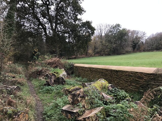
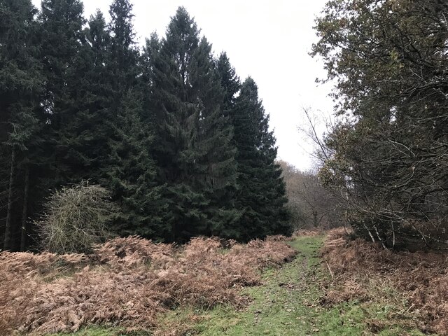
The woodland is characterized by a diverse range of tree species, including oak, beech, and birch, among others. These trees create a dense canopy, providing shelter and habitat for various wildlife species. The forest floor is covered with a thick layer of leaf litter, which supports a diverse ecosystem of plants and animals.

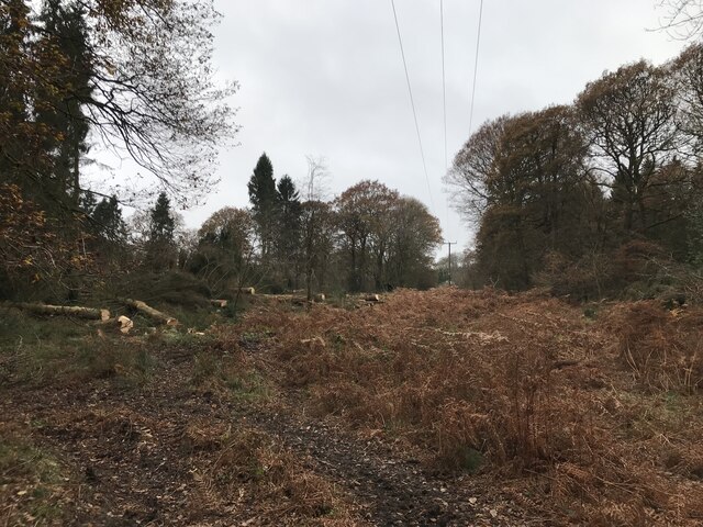
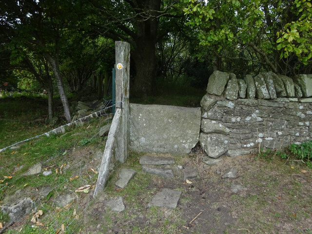
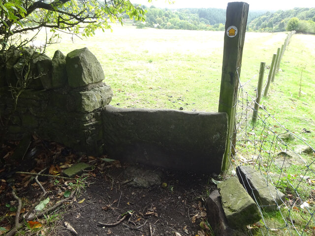
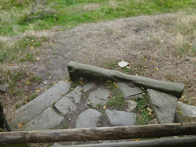
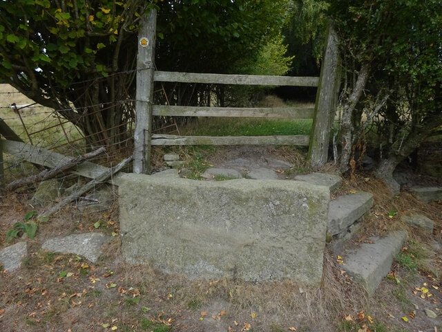
Freehold Inclosure has long been utilized for timber production, providing a valuable resource for the local economy. In addition, the woodland has been managed for recreational purposes, offering opportunities for hiking, nature walks, and birdwatching. The area is crisscrossed with a network of footpaths and trails, allowing visitors to explore the natural beauty of the forested landscape.

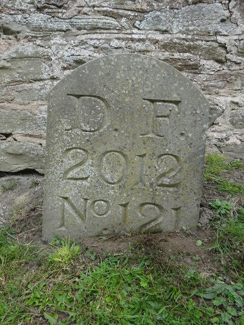
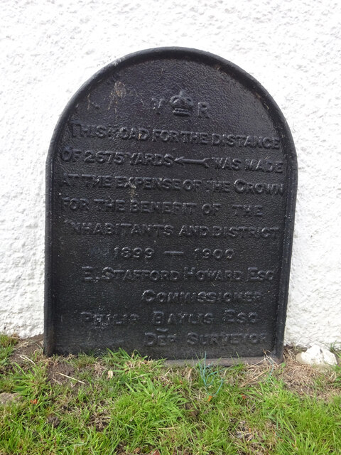
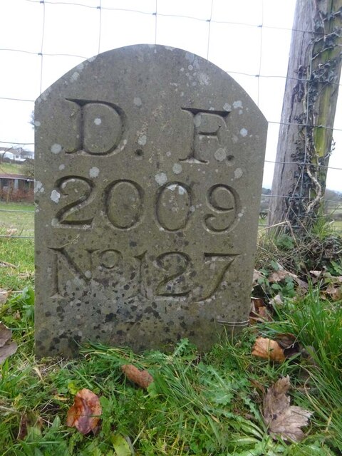
The inclosure is also of historical significance, with remnants of ancient boundary walls and structures scattered throughout the area. These archaeological features provide insights into the human history of the region, offering glimpses into how the land has been utilized and managed over the centuries.

Overall, Freehold Inclosure in Gloucestershire is a captivating woodland area that combines natural beauty, ecological diversity, and historical importance. It serves as a valuable resource for the local community, offering both economic benefits and recreational opportunities for visitors to enjoy.

If you have any feedback on the listing, please let us know in the comments section below.

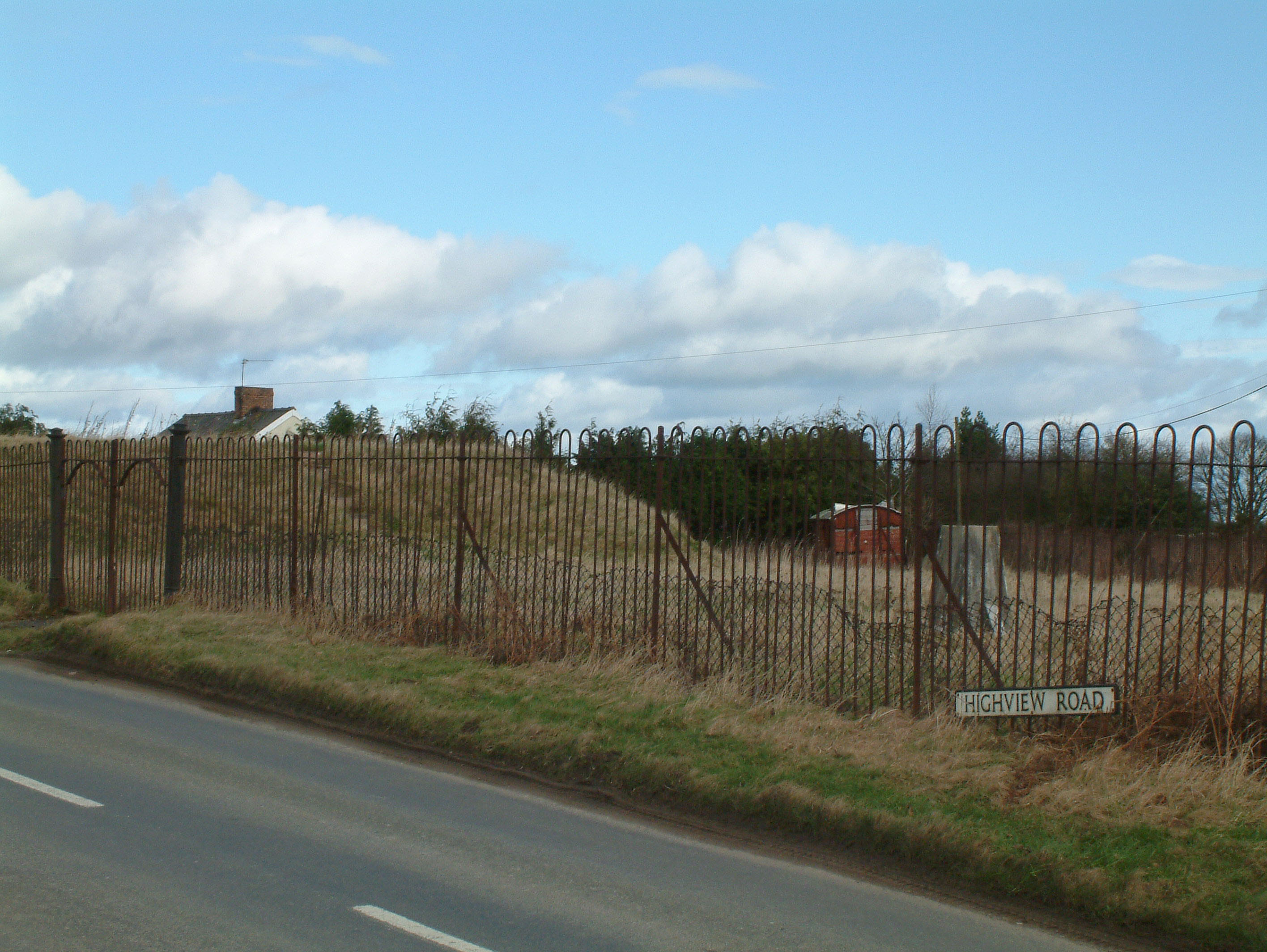
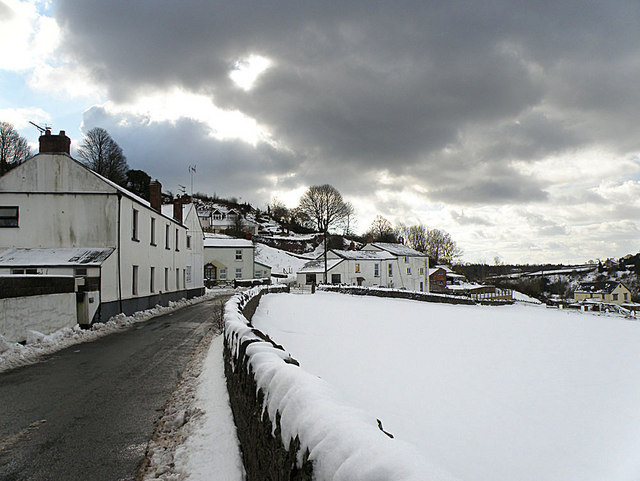
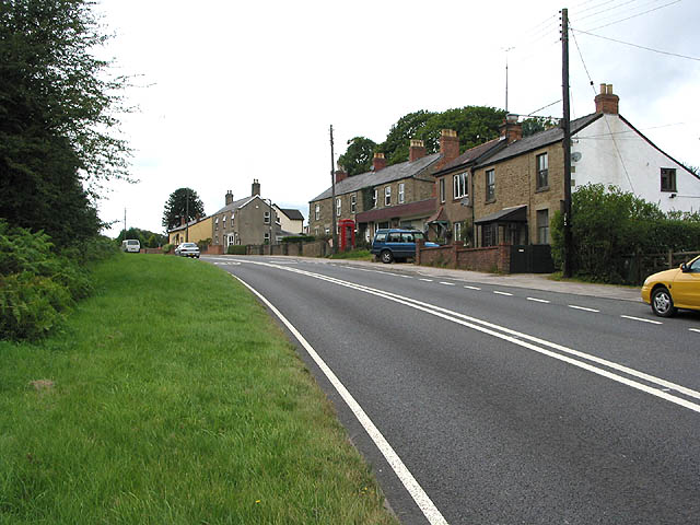
Freehold Inclosure Images

Images are sourced within 2km of 51.840771/-2.5315687 or Grid Reference SO6315. Thanks to Geograph Open Source API. All images are credited.

Overgrown pathway
Overgrown pathway
Repaired wall
Repaired wall
Felled trees
Felled trees
Course of old railway
Newtown Road, Steam Mills Post-industrial landscape.
Newtown Road, Steam Mills
Post-industrial landscape.
Boundary Stone, Ruardean One of the many replacement boundary stone delineating the periphery of the "Forest of Dean". The "Forest" is very specific because resident have "rights in common" like grazing sheep and coal mining, though you may have to be born there to classify as a "free miner". This is on the Northern verge in Barn Lane.

Inscription: D. F. / 2012 / Nᴼ. 121

Milestone Society National ID: GL_DFDRYB121em
Boundary Stone, Ruardean
One of the many replacement boundary stone delineating the periphery of the "Forest of Dean". The "Forest" is very specific because resident have "rights in common" like grazing sheep and coal mining, though you may have to be born there to classify as a "free miner". This is on the Northern verge in Barn Lane. Inscription: D. F. / 2012 / Nᴼ. 121 Milestone Society National ID: GL_DFDRYB121em
Commemorative Plate, Ruardean On the wall of a corner house in Meend Lane (with Barn Lane).

Inscription:
V(crown)R
This road for the distance
of 2675 ↢ yards was made
at the expense of the crown
for the benefit of the
inhabitants and district
1899 - 1900
E.Stafford Howard Esq
Commissioner
Philip Baylis Esq
Dep Surveyor

Milestone Society National ID: GL_DRYBR01cm
Commemorative Plate, Ruardean
On the wall of a corner house in Meend Lane (with Barn Lane). Inscription: V(crown)R This road for the distance of 2675 ↢ yards was made at the expense of the crown for the benefit of the inhabitants and district 1899 - 1900 E.Stafford Howard Esq Commissioner Philip Baylis Esq Dep Surveyor Milestone Society National ID: GL_DRYBR01cm
Stone Stile, Ruardean On Gloucestershire footpath DRD34 entering a closed path that leads to Pettycroft, looking North . The view back towards Ruardean Woodside is <a href="https://www.geograph.org.uk/photo/7297883">SO6217 : Stone Stile, Ruardean</a>.
Stone Stile, Ruardean
On Gloucestershire footpath DRD34 entering a closed path that leads to Pettycroft, looking North . The view back towards Ruardean Woodside is SO6217 : Stone Stile, Ruardean.
Stone Stile, Ruardean On Gloucestershire footpath DRD34 entering a closed path that leads to Pettycroft, looking back to Ruardean Woodside. The view North is <a href="https://www.geograph.org.uk/photo/7297881">SO6217 : Stone Stile, Ruardean</a>.
Stone Stile, Ruardean
On Gloucestershire footpath DRD34 entering a closed path that leads to Pettycroft, looking back to Ruardean Woodside. The view North is SO6217 : Stone Stile, Ruardean.
Stone Stile, Ruardean On Gloucestershire footpath DRD34, a route from Barn Lane to Perrycroft. This looks South. the view up the stile is <a href="https://www.geograph.org.uk/photo/7299548">SO6216 : Stone Stile, Ruardean</a>.
Stone Stile, Ruardean
On Gloucestershire footpath DRD34, a route from Barn Lane to Perrycroft. This looks South. the view up the stile is SO6216 : Stone Stile, Ruardean.
Stone Stile, Ruardean On Gloucestershire footpath DRD34, a route from Barn Lane to Perrycroft. This looks North. the view down the stile is <a href="https://www.geograph.org.uk/photo/7299546">SO6216 : Stone Stile, Ruardean</a>.
Stone Stile, Ruardean
On Gloucestershire footpath DRD34, a route from Barn Lane to Perrycroft. This looks North. the view down the stile is SO6216 : Stone Stile, Ruardean.
Stone Stile, Ruardean On Gloucestershire footpath DRD34, this "Fallen Idle" is of similar proportions to the two upright stiles to the North and lies about 2 ft from the current wooden stile.
Stone Stile, Ruardean
On Gloucestershire footpath DRD34, this "Fallen Idle" is of similar proportions to the two upright stiles to the North and lies about 2 ft from the current wooden stile.
A BP garage A BP garage on the A4136 at Brierley in the Forest of Dean.
A BP garage
A BP garage on the A4136 at Brierley in the Forest of Dean.
A forest road A forest road in The Delves Inclosure in the Forest of Dean near Brierley.
A forest road
A forest road in The Delves Inclosure in the Forest of Dean near Brierley.
Road in the Forest of Dean Road in the Forest of Dean near Brierley.
Road in the Forest of Dean
Road in the Forest of Dean near Brierley.
The work of beavers The work of beavers by Greakthough Brook in the Forest of Dean.
The work of beavers
The work of beavers by Greakthough Brook in the Forest of Dean.
Sign of beaver activity Sign of beaver activity by Greathough Brook in the Forest of Dean.
Sign of beaver activity
Sign of beaver activity by Greathough Brook in the Forest of Dean.
Boundary Stone, Ruardean Woodside Royal Forest of Dean boundary stone on the West side of Walker's Lane opposite the farmyard entrance. It also marks the boundary between Ruardean and East Dean, Gloucestershire.

Inscription: D. F. / 2009 / Nᴼ. 127

Milestone Society National ID: GL_DFDRRU127em
Boundary Stone, Ruardean Woodside
Royal Forest of Dean boundary stone on the West side of Walker's Lane opposite the farmyard entrance. It also marks the boundary between Ruardean and East Dean, Gloucestershire. Inscription: D. F. / 2009 / Nᴼ. 127 Milestone Society National ID: GL_DFDRRU127em
Show me another place!

Freehold Inclosure is located at Grid Ref: SO6315 (Lat: 51.840771, Lng: -2.5315687)

Administrative County: Gloucestershire

District: Forest of Dean

Police Authority: Gloucestershire

What 3 Words

///surprises.over.regal. Near Drybrook, Gloucestershire

Nearby Locations

Freehold Inclosure

Related Wikis

Ruardean Hill

Ruardean Hill is a prominent hill and a village in the English county of Gloucestershire, 20 km (12 mi) west of Gloucester. It lies in the Forest of Dean...

Ruardean Woodside

Ruardean Woodside is a village in Gloucestershire, England, located in the Forest of Dean and tucked away behind Ruardean Hill and Brierley. There is...

Nailbridge Halt railway station

Nailbridge Halt railway station served the suburb of Nailbridge, Gloucestershire, England, from 1907 to 1930 on the Mitcheldean Road and Forest of Dean...

Brierley, Gloucestershire

Brierley is a village in the Forest of Dean, Gloucestershire, United Kingdom. It has one petrol station and a shop, both of which are both operated by...

Nearby Amenities

Located within 500m of 51.840771,-2.5315687
Bus Stop
Northern United Works
Naptan AtcoCode: 1600GLF195
Naptan Bearing: W
Naptan CommonName: Northern United Works
Naptan NaptanCode: gloagwja
Naptan Street: A4136
Naptan Verified: no
Source: naptan_import
Lat/Long: 51.8386916/-2.5267147
Bus Stop
Northern United Works
Naptan AtcoCode: 1600GLF196
Naptan Bearing: E
Naptan CommonName: Northern United Works
Naptan Indicator: Opp
Naptan NaptanCode: gloagwgj
Naptan Street: A4136
Naptan Verified: no
Source: naptan_import
Lat/Long: 51.8387725/-2.5267302
Bus Stop
The Delves
Naptan AtcoCode: 1600GLF198
Naptan Bearing: NE
Naptan CommonName: The Delves
Naptan Indicator: Opp
Naptan NaptanCode: gloagtga
Naptan Street: A4136
Naptan Verified: no
Source: naptan_import
Lat/Long: 51.8366807/-2.5340062
The data included in this document is from www.openstreetmap.org. The data is made available under ODbL.

Have you been to Freehold Inclosure?

Leave your review of Freehold Inclosure below (or comments, questions and feedback).