Peaslands Wood

Wood, Forest in Westmorland Eden

England

Peaslands Wood

Old Boundary Marker in Fousonsrigg Plantations Parish Boundary Marker in Fousonsrigg Plantations, on the south side of the road, west of Colby. On the boundary of King's Meaburn, formerly a township and a parish since 1866, and Colby, a parish created in 1894. Inscribed KINGS / MEABURN and COLBY on opposite faces. See also <span class="nowrap"><a title="http://www.geog.port.ac.uk/webmap/thelakes/photos/bng11.jpg" rel="nofollow ugc noopener" href="http://www.geog.port.ac.uk/webmap/thelakes/photos/bng11.jpg">Link</a><img style="margin-left:2px;" alt="External link" title="External link - shift click to open in new window" src="https://s1.geograph.org.uk/img/external.png" width="10" height="10"/></span> , <a title="https://www.geograph.org.uk/photo/4534169" href="https://www.geograph.org.uk/photo/4534169">Link</a> . <a title="https://www.geograph.org.uk/photo/4534161" href="https://www.geograph.org.uk/photo/4534161">Link</a> , <a title="https://www.geograph.org.uk/photo/5299740" href="https://www.geograph.org.uk/photo/5299740">Link</a> , <a title="https://www.geograph.org.uk/photo/5299736" href="https://www.geograph.org.uk/photo/5299736">Link</a> and <a title="https://www.geograph.org.uk/photo/4534175" href="https://www.geograph.org.uk/photo/4534175">Link</a>.

Milestone Society National ID: WE_KMECOL01pb
Old Boundary Marker in Fousonsrigg Plantations Credit: J Glew

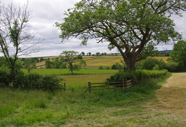
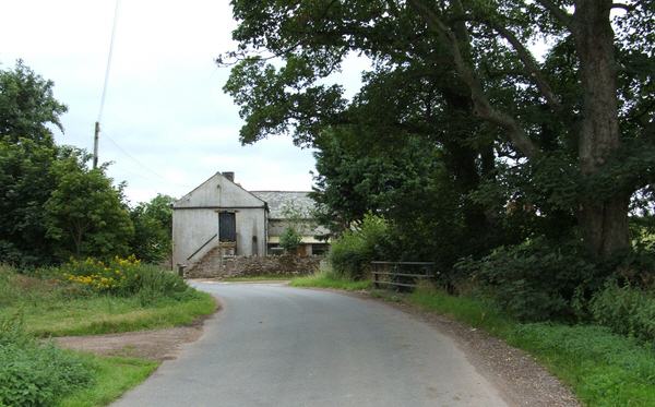
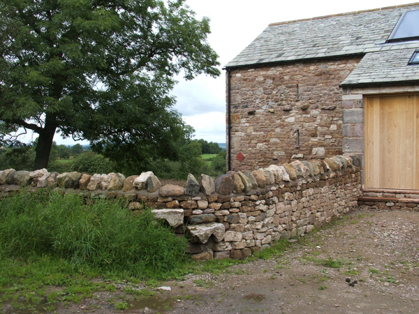
Peaslands Wood is a picturesque forest located in the county of Westmorland, England. Covering an area of approximately 150 acres, it is a popular destination for nature enthusiasts and outdoor lovers. The wood is situated in a remote and tranquil setting, offering visitors a peaceful escape from the hustle and bustle of daily life.

The wood is predominantly composed of deciduous trees, such as oak, beech, and ash, which provide a stunning display of colors during the autumn months. The dense canopy formed by these trees creates a shaded and cool environment, ideal for leisurely walks and picnics on hot summer days. A variety of vibrant wildflowers, including bluebells and primroses, can also be found scattered throughout the woodland floor, adding to its natural beauty.

Peaslands Wood is home to a diverse range of wildlife, making it a haven for animal lovers and bird watchers. Visitors may spot species such as deer, foxes, badgers, and numerous woodland birds, including woodpeckers and owls. The wood is also known for its rich insect population, with butterflies and dragonflies fluttering among the trees.

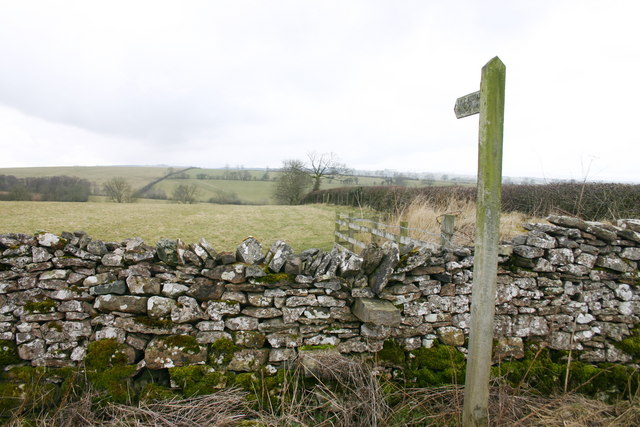
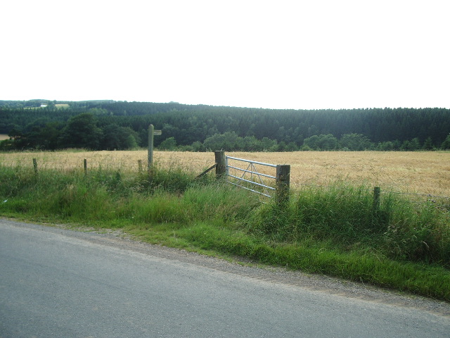
Several well-maintained footpaths wind their way through the wood, providing easy access for walkers and hikers. These paths offer various routes of different lengths, allowing visitors to explore the wood at their own pace. Information boards are strategically placed along the trails, providing educational insights into the flora and fauna found within the wood.

Overall, Peaslands Wood is a stunning natural treasure in Westmorland, offering visitors an opportunity to connect with nature and enjoy the serenity of a woodland environment.

If you have any feedback on the listing, please let us know in the comments section below.

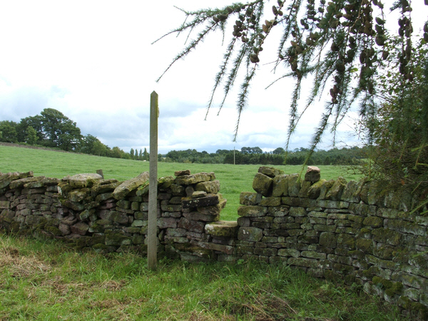
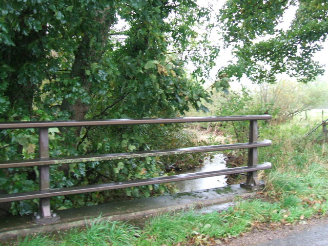
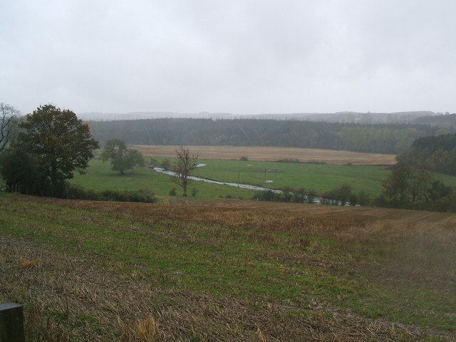
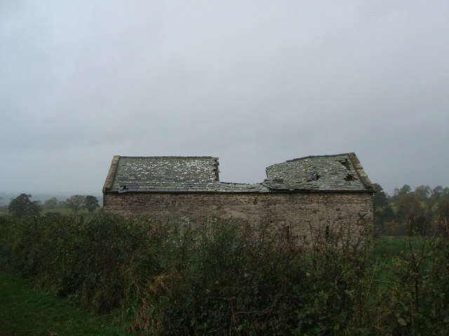
Peaslands Wood Images

Images are sourced within 2km of 54.570482/-2.5680428 or Grid Reference NY6319. Thanks to Geograph Open Source API. All images are credited.

Old Boundary Marker in Fousonsrigg Plantations Parish Boundary Marker in Fousonsrigg Plantations, on the south side of the road, west of Colby. On the boundary of King's Meaburn, formerly a township and a parish since 1866, and Colby, a parish created in 1894. Inscribed KINGS / MEABURN and COLBY on opposite faces. See also <span class="nowrap"><a title="http://www.geog.port.ac.uk/webmap/thelakes/photos/bng11.jpg" rel="nofollow ugc noopener" href="http://www.geog.port.ac.uk/webmap/thelakes/photos/bng11.jpg">Link</a><img style="margin-left:2px;" alt="External link" title="External link - shift click to open in new window" src="https://s1.geograph.org.uk/img/external.png" width="10" height="10"/></span> , <a title="https://www.geograph.org.uk/photo/4534169" href="https://www.geograph.org.uk/photo/4534169">Link</a> . <a title="https://www.geograph.org.uk/photo/4534161" href="https://www.geograph.org.uk/photo/4534161">Link</a> , <a title="https://www.geograph.org.uk/photo/5299740" href="https://www.geograph.org.uk/photo/5299740">Link</a> , <a title="https://www.geograph.org.uk/photo/5299736" href="https://www.geograph.org.uk/photo/5299736">Link</a> and <a title="https://www.geograph.org.uk/photo/4534175" href="https://www.geograph.org.uk/photo/4534175">Link</a>.

Milestone Society National ID: WE_KMECOL01pb
Old Boundary Marker in Fousonsrigg Plantations
Parish Boundary Marker in Fousonsrigg Plantations, on the south side of the road, west of Colby. On the boundary of King's Meaburn, formerly a township and a parish since 1866, and Colby, a parish created in 1894. Inscribed KINGS / MEABURN and COLBY on opposite faces. See also LinkExternal link , Link . Link , Link , Link and Link. Milestone Society National ID: WE_KMECOL01pb
Farmland near Crabstack Mostly grassland, interspersed with a few fields of cereals.
Farmland near Crabstack
Mostly grassland, interspersed with a few fields of cereals.
Barns at Llittlebeck
Llittlebeck In the foreground is a bridge over Little Beck.
Llittlebeck
In the foreground is a bridge over Little Beck.
Lane to Crabstack Farm The lane is also a public right of way.
Lane to Crabstack Farm
The lane is also a public right of way.
Footpath to Crabstack
Small Barn Comes complete with its own hedged enclosure.
Small Barn
Comes complete with its own hedged enclosure.
Footpath Footpath to Barnskew,not much used at this time of the year as it crosses a field of ripening wheat.
Footpath
Footpath to Barnskew,not much used at this time of the year as it crosses a field of ripening wheat.
Littlebeck Farm between Maulds Meaburn and King's Meaburn.
Littlebeck
Farm between Maulds Meaburn and King's Meaburn.
Stile and converted barn. Stile near Wormpotts farm.
Stile and converted barn.
Stile near Wormpotts farm.
Gap Stile and Footpath sign. Stile across fields from the road over Chitty Hill.
Gap Stile and Footpath sign.
Stile across fields from the road over Chitty Hill.
The bridge at Littlebeck A tributary of the Lyvennet.
The bridge at Littlebeck
A tributary of the Lyvennet.
Looking down to the River Lyvennet
Derelict barn
Derelict barn
Kings Meaburn Boundary Stone
Entrance to Sideway Bank
Footpath across the fields
Kings Meaburn / Maulds Meaburn boundary stone The Ordnance Survey cut mark benchmark is described on the Bench Mark Database at <span class="nowrap"><a title="http://www.bench-marks.org.uk/bm66652" rel="nofollow ugc noopener" href="http://www.bench-marks.org.uk/bm66652">Link</a><img style="margin-left:2px;" alt="External link" title="External link - shift click to open in new window" src="https://s1.geograph.org.uk/img/external.png" width="10" height="10"/></span>
Kings Meaburn / Maulds Meaburn boundary stone
The Ordnance Survey cut mark benchmark is described on the Bench Mark Database at LinkExternal link
Show me another place!

Peaslands Wood is located at Grid Ref: NY6319 (Lat: 54.570482, Lng: -2.5680428)

Administrative County: Cumbria

District: Eden

Police Authority: Cumbria

What 3 Words

///states.sigh.surveyed. Near Appleby-in-Westmorland, Cumbria

Nearby Locations

Peaslands Wood

Related Wikis

Littlebeck, Cumbria

Littlebeck is a hamlet in the Eden District in the English county of Cumbria, located near the small village of King's Meaburn, the hamlet of Lankaber...

King's Meaburn

King's Meaburn (English: ) is a small village and civil parish in Cumbria, England. It is located 5 miles (8.0 km) from Appleby-in-Westmorland and 10 miles...

Colby, Cumbria

Colby is a village and civil parish in the Eden district of the English county of Cumbria. It is near the village of Bolton to the north and the town of...

Crackenthorpe

Crackenthorpe is a village and civil parish in the Eden District of Cumbria, England. It is about 12 miles (19 km) south east of Penrith. The village was...

Nearby Amenities

Located within 500m of 54.570482,-2.5680428
Source: npe
Lat/Long: 54.5698915/-2.5683734
Source: npe
Lat/Long: 54.5713943/-2.5705249
Source: npe
Lat/Long: 54.5712492/-2.5669715
Source: npe
Lat/Long: 54.5713672/-2.5648889
Source: npe
Lat/Long: 54.5723211/-2.5625777
Crabstack road end
Local Ref: AT
Naptan AtcoCode: 090074331419
Naptan Bearing: S
Naptan BusStopType: CUS
Naptan CommonName: Crabstack road end
Naptan Indicator: at
Naptan Landmark: Crabstack Road End
Naptan NaptanCode: cumdamgp
Naptan Street: No name
Naptan Verified: no
Source: naptan_import
Lat/Long: 54.5689473/-2.5675444
Power: pole
Lat/Long: 54.572578/-2.5709154
Power: pole
Lat/Long: 54.5725061/-2.57158
Power: pole
Lat/Long: 54.5724391/-2.5722315
Power: pole
Lat/Long: 54.5722345/-2.5728481
Power: pole
Lat/Long: 54.5722269/-2.5742709
The data included in this document is from www.openstreetmap.org. The data is made available under ODbL.

Have you been to Peaslands Wood?

Leave your review of Peaslands Wood below (or comments, questions and feedback).