Darnhall Wood

Wood, Forest in Cheshire

England

Darnhall Wood

Temporary traffic lights on Winsford Road The road is part of National Cycle Network route 551.
Temporary traffic lights on Winsford Road Credit: DS Pugh

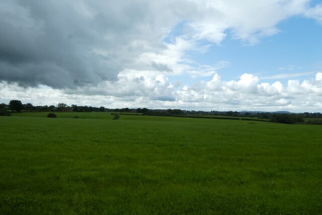
Darnhall Wood is a charming woodland area located in the county of Cheshire, England. Nestled amidst the picturesque countryside, this forested landscape covers an approximate area of 30 hectares. It is situated near the small village of Darnhall, offering a serene and tranquil environment for visitors to enjoy.

The wood is predominantly composed of broadleaf trees, including oak, beech, and birch, creating a diverse and vibrant ecosystem. The dense canopy provides ample shade, making it an ideal spot for a leisurely stroll or a peaceful picnic on a warm summer's day.

Darnhall Wood boasts numerous walking trails that wind through the enchanting woodland, allowing visitors to explore the natural beauty and discover its hidden treasures. These paths are well-maintained and offer varying levels of difficulty, catering to both casual walkers and more experienced hikers.

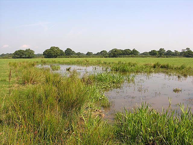
Wildlife thrives in Darnhall Wood, with an array of bird species, such as woodpeckers and songbirds, making it their home. The forest floor is also teeming with small mammals, including rabbits, squirrels, and voles, adding to the charm and biodiversity of the area.

The wood is open to the public year-round, providing an opportunity to witness the changing seasons and immerse oneself in the beauty of nature. It is a popular destination for nature enthusiasts, photographers, and families seeking a respite from the hustle and bustle of daily life.

Overall, Darnhall Wood offers a peaceful retreat where visitors can connect with nature, appreciate its beauty, and experience the tranquility of the Cheshire countryside.

If you have any feedback on the listing, please let us know in the comments section below.

Darnhall Wood Images

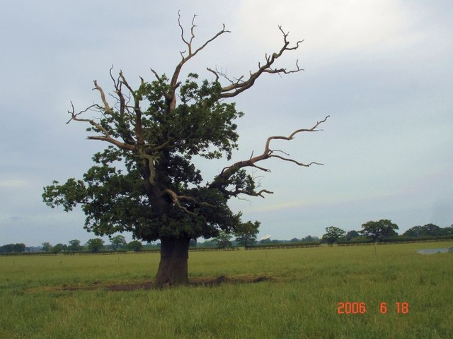
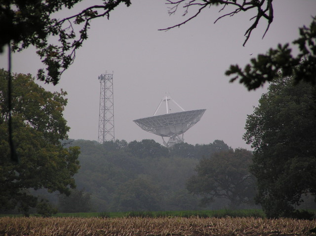
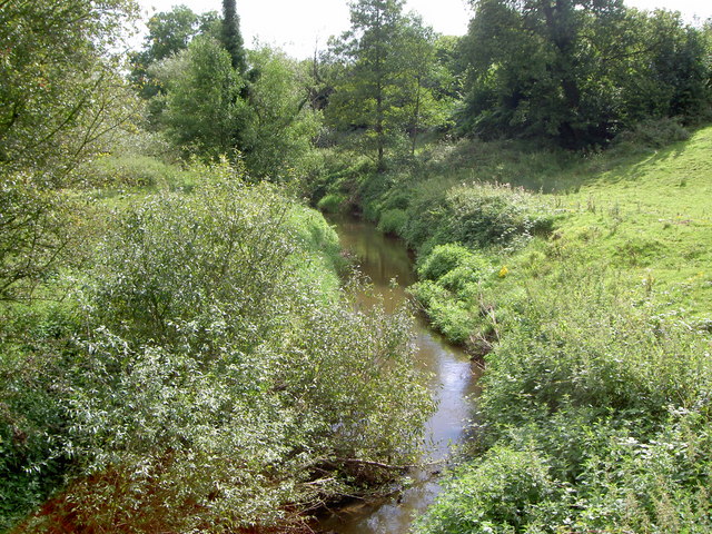
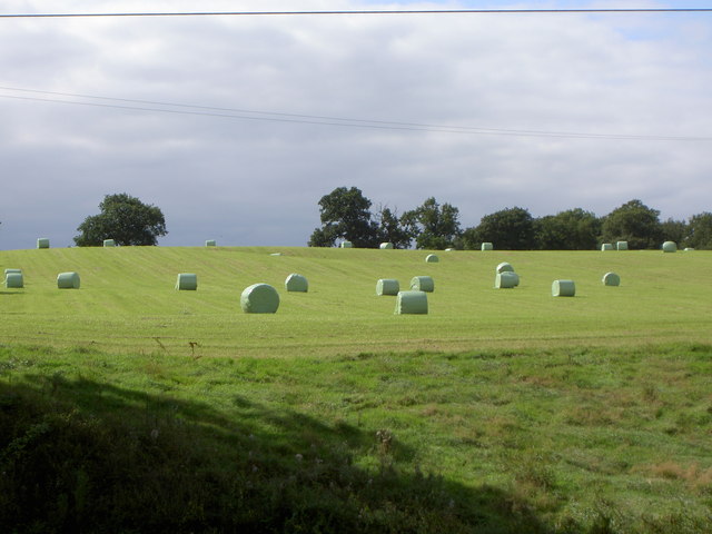
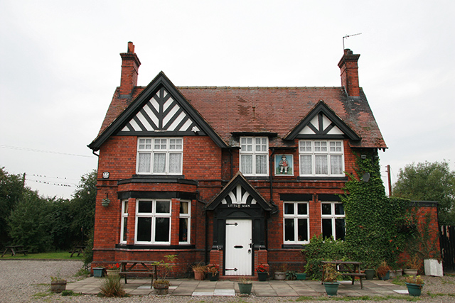
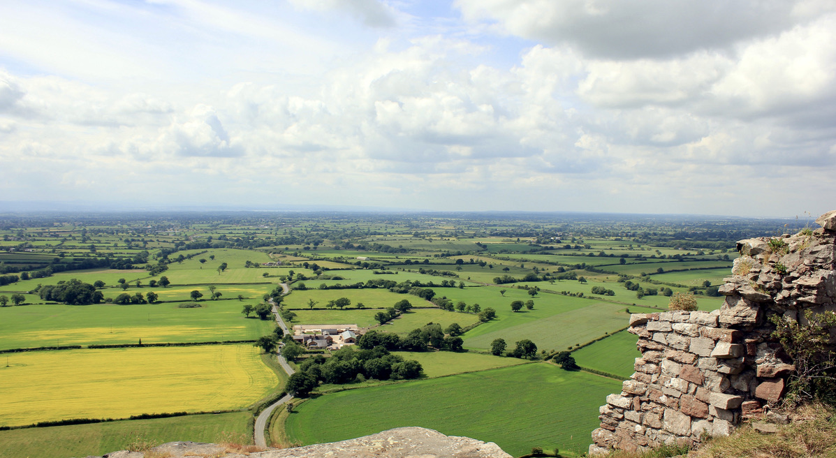
Images are sourced within 2km of 53.155393/-2.5492871 or Grid Reference SJ6362. Thanks to Geograph Open Source API. All images are credited.

Temporary traffic lights on Winsford Road The road is part of National Cycle Network route 551.
Temporary traffic lights on Winsford Road
The road is part of National Cycle Network route 551.
Field north of Wettenhall Looking across farmland from the Wettenhall to Winsford road.
Field north of Wettenhall
Looking across farmland from the Wettenhall to Winsford road.
Road north of Wettenhall The road is part of National Cycle Network route 551.
Road north of Wettenhall
The road is part of National Cycle Network route 551.
Fields near Wettenhall Looking across farmland between Wettenhall and Winsford.
Fields near Wettenhall
Looking across farmland between Wettenhall and Winsford.
Winsford Road south of Hickhurst Lane The road is part of National Cycle Network route 551.
Winsford Road south of Hickhurst Lane
The road is part of National Cycle Network route 551.
Winsford Road south of Hickhurst Lane The road is part of National Cycle Network route 551.
Winsford Road south of Hickhurst Lane
The road is part of National Cycle Network route 551.
Road near Wettenhall Cottages Winsford Road is part of National Cycle Network route 551.
Road near Wettenhall Cottages
Winsford Road is part of National Cycle Network route 551.
Winsford Road near Stockerlane Farm The road is part of National Cycle Network route 551.
Winsford Road near Stockerlane Farm
The road is part of National Cycle Network route 551.
Darnhall Village Hall Looking along Hall Lane in Darnhall.
Darnhall Village Hall
Looking along Hall Lane in Darnhall.
Rose Cottage A house on Hall Lane near Darnhall.
Rose Cottage
A house on Hall Lane near Darnhall.
Marlpit at Paradise Farm Typical mid-Cheshire pond which supports a wide variety of wildlife.
Marlpit at Paradise Farm
Typical mid-Cheshire pond which supports a wide variety of wildlife.
Woodside Farm, Wettenhall Woodside Farm, Wettenhall, seen from the (long) drive, which is also a public footpath. Big herd of beef cattle here - and signs of the usual redevelopment of outbuildings as residential accommodation (?) - resulting in obstruction of the footpath - hopefully only temporarily.
Woodside Farm, Wettenhall
Woodside Farm, Wettenhall, seen from the (long) drive, which is also a public footpath. Big herd of beef cattle here - and signs of the usual redevelopment of outbuildings as residential accommodation (?) - resulting in obstruction of the footpath - hopefully only temporarily.
Blasted oak, Wettenhall Blasted oak tree in field near Woodside Farm, Wettenhall. Taken from the footpath running west, north and then NE to Darnhall. The Darnhall radio telescope (linked to Jodrell Bank) is just visible in the distance, immediately to the right of the tree. Field used for grazing beef cattle.
Blasted oak, Wettenhall
Blasted oak tree in field near Woodside Farm, Wettenhall. Taken from the footpath running west, north and then NE to Darnhall. The Darnhall radio telescope (linked to Jodrell Bank) is just visible in the distance, immediately to the right of the tree. Field used for grazing beef cattle.
Boot and Slipper pub, Wettenhall The Boot & Slipper stands at the junction of Winsford Road and Long Lane. Wettenhall doesn't have much of a village centre, being more a parish of scattered farms, but St. David's church is just down Long Lane - so I guess a pub plus a church = a community!
Boot and Slipper pub, Wettenhall
The Boot & Slipper stands at the junction of Winsford Road and Long Lane. Wettenhall doesn't have much of a village centre, being more a parish of scattered farms, but St. David's church is just down Long Lane - so I guess a pub plus a church = a community!
Darnhall Village Hall Darnhall - the Centre of Cheshire.
Two oak trees stand close to the village hall, to mark the centre of the county. 
see <span class="nowrap"><a title="http://www.darnhall.org.uk" rel="nofollow ugc noopener" href="http://www.darnhall.org.uk">Link</a><img style="margin-left:2px;" alt="External link" title="External link - shift click to open in new window" src="https://s1.geograph.org.uk/img/external.png" width="10" height="10"/></span>
Darnhall Village Hall
Darnhall - the Centre of Cheshire. Two oak trees stand close to the village hall, to mark the centre of the county. see LinkExternal link
Microwave Dish, Darnhall This small radio telescope forms part of the Jodrell Bank complex.
Microwave Dish, Darnhall
This small radio telescope forms part of the Jodrell Bank complex.
Ash Brook From here, Ash Brook continues east before joining the River Weaver in square <a href="https://www.geograph.org.uk/gridref/SJ6663">SJ6663</a>
Ash Brook
From here, Ash Brook continues east before joining the River Weaver in square SJ6663
Hay Bales on Hill Top Farm. All that's needed now are the animals.
Hay Bales on Hill Top Farm.
All that's needed now are the animals.
Show me another place!

Darnhall Wood is located at Grid Ref: SJ6362 (Lat: 53.155393, Lng: -2.5492871)

Unitary Authority: Cheshire West and Chester

Police Authority: Cheshire

What 3 Words

///brave.huddled.cackling. Near Over, Cheshire

Related Wikis

Darnhall

Darnhall is a civil parish and small village to the south west of Winsford in the Borough of Cheshire West and Chester and the ceremonial county of Cheshire...

Wettenhall

Wettenhall is a village (at SJ624614) and civil parish in the unitary authority of Cheshire East and the ceremonial county of Cheshire, England. The village...

Cheshire

Cheshire ( CHESH-ər, -⁠eer) is a ceremonial county in North West England. It is bordered by Merseyside to the north-west, Greater Manchester to the north...

Cheshire dialect

The Cheshire dialect is a Northern English dialect spoken in the county of Cheshire in North West England. It has similarities with the dialects of the...

Have you been to Darnhall Wood?

Leave your review of Darnhall Wood below (or comments, questions and feedback).