Carter Fold Wood

Wood, Forest in Lancashire Ribble Valley

England

Carter Fold Wood

An odd hotel Overnight accommodation at Samlesbury Hall, twixt Preston and Blackburn, is in these Shepherd's Huts.
An odd hotel Credit: Bob Harvey

Carter Fold Wood is a picturesque forest located in the county of Lancashire, England. Nestled amidst rolling hills and lush greenery, this woodland area covers a significant expanse of approximately 200 acres. The wood is well-known for its diverse flora and fauna, offering a haven for nature enthusiasts and wildlife lovers alike.

The forest, with its dense canopy and towering trees, provides a serene and tranquil environment for visitors. It is primarily composed of deciduous trees such as oak, beech, and birch, which create a stunning tapestry of colors during the autumn season. The forest floor is adorned with a rich carpet of ferns, bluebells, and wildflowers, adding to its natural beauty.

Carter Fold Wood offers numerous walking trails and pathways, allowing visitors to explore its enchanting surroundings. These paths cater to different levels of difficulty, making it accessible for people of all ages and fitness levels. Along the trails, one can discover hidden gems such as a babbling brook, ancient stone walls, and even remnants of an old hunting lodge.

The forest is also home to a diverse range of wildlife. Visitors may catch a glimpse of red deer, foxes, badgers, and a variety of bird species, including woodpeckers and owls. The peaceful ambiance and natural habitat make it an ideal spot for birdwatching and wildlife photography.

Carter Fold Wood, with its natural beauty and tranquil atmosphere, offers a perfect retreat from the hustle and bustle of city life. Whether it's for a leisurely stroll, a family picnic, or simply to immerse oneself in nature, this woodland is a hidden gem in the heart of Lancashire.

If you have any feedback on the listing, please let us know in the comments section below.

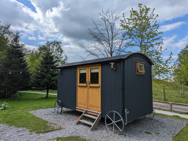
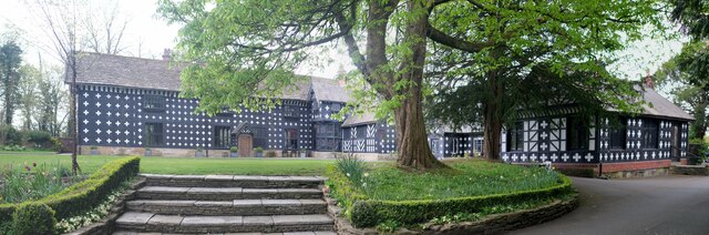
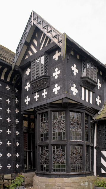
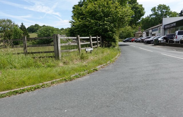
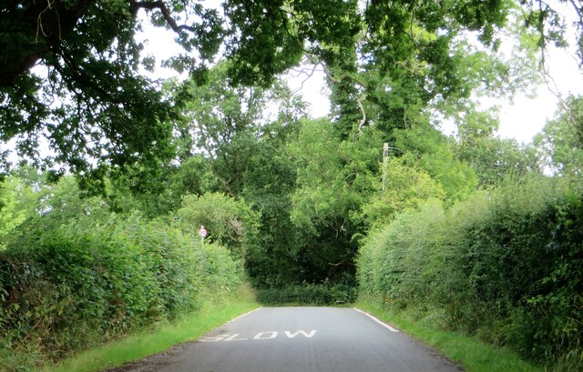
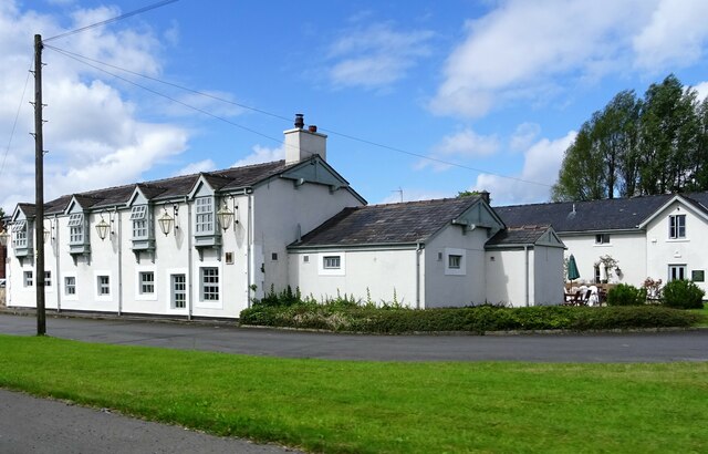
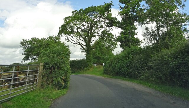
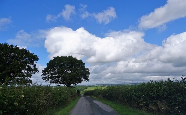
Carter Fold Wood Images

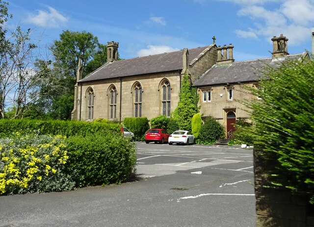
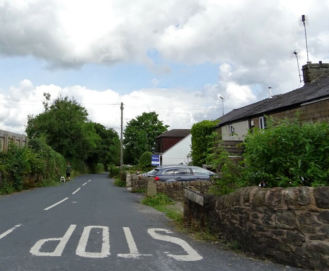
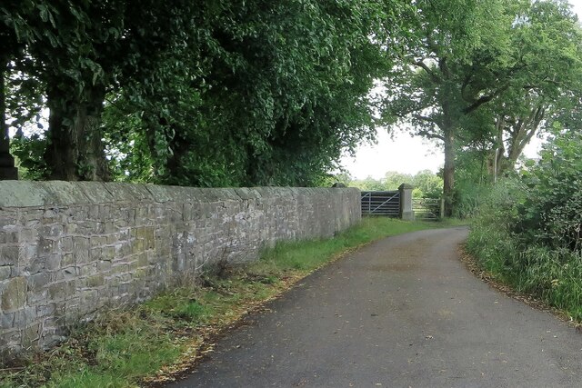
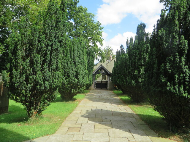
Images are sourced within 2km of 53.779069/-2.5582216 or Grid Reference SD6331. Thanks to Geograph Open Source API. All images are credited.

An odd hotel Overnight accommodation at Samlesbury Hall, twixt Preston and Blackburn, is in these Shepherd's Huts.
An odd hotel
Overnight accommodation at Samlesbury Hall, twixt Preston and Blackburn, is in these Shepherd's Huts.
Samlesbury Hall A grade I listed building, dating in part to the 14th century - see <span class="nowrap"><a title="https://historicengland.org.uk/listing/the-list/list-entry/1361389" rel="nofollow ugc noopener" href="https://historicengland.org.uk/listing/the-list/list-entry/1361389">Link</a><img style="margin-left:2px;" alt="External link" title="External link - shift click to open in new window" src="https://s1.geograph.org.uk/img/external.png" width="10" height="10"/></span>
Samlesbury Hall
A grade I listed building, dating in part to the 14th century - see LinkExternal link
Samlesbury Hall I have no idea what this feature is called.  

This is a grade I listed building (<span class="nowrap"><a title="https://historicengland.org.uk/listing/the-list/list-entry/1361389" rel="nofollow ugc noopener" href="https://historicengland.org.uk/listing/the-list/list-entry/1361389">Link</a><img style="margin-left:2px;" alt="External link" title="External link - shift click to open in new window" src="https://s1.geograph.org.uk/img/external.png" width="10" height="10"/></span> ) owned by a charitable trust (<span class="nowrap"><a title="https://www.samlesburyhall.co.uk/" rel="nofollow ugc noopener" href="https://www.samlesburyhall.co.uk/">Link</a><img style="margin-left:2px;" alt="External link" title="External link - shift click to open in new window" src="https://s1.geograph.org.uk/img/external.png" width="10" height="10"/></span> )
Samlesbury Hall
I have no idea what this feature is called. This is a grade I listed building (LinkExternal link ) owned by a charitable trust (LinkExternal link )
Abbott Brow At its junction with the A59 in Osbaldeston.
Abbott Brow
At its junction with the A59 in Osbaldeston.
Military Aeroplanes These full scale replicas of the F-35 Lightning and F-35 Lightning II are at the main gate of BAE Systems on the A59 in Samlesbury.
Military Aeroplanes
These full scale replicas of the F-35 Lightning and F-35 Lightning II are at the main gate of BAE Systems on the A59 in Samlesbury.
St. Mary's Church, Osbaldeston On the A59.
St. Mary's Church, Osbaldeston
On the A59.
Osbaldeston Lane At its junction with the A59.
Osbaldeston Lane
At its junction with the A59.
Lane in Balderstone Running by St. Leonard's churchyard.
Lane in Balderstone
Running by St. Leonard's churchyard.
Lych gate at St. Leonard's church From the church's porch doorway.
Lych gate at St. Leonard's church
From the church's porch doorway.
Commons Lane in Balderstone
Stuart Taylor retail store A retailer of mowing machines and other small agricultural machinery on Whalley Road (A59) near Samlesbury.
Stuart Taylor retail store
A retailer of mowing machines and other small agricultural machinery on Whalley Road (A59) near Samlesbury.
The Bluebird Inn A pub and hotel on the A59 in Samlesbury.
The Bluebird Inn
A pub and hotel on the A59 in Samlesbury.
Nightfield Lane In Balderstone.
Nightfield Lane
In Balderstone.
Nightfield Lane Near Sunderland Hall Farm.
Nightfield Lane
Near Sunderland Hall Farm.
St. Leonard's church Balderstone's parish church in the deanery of Whalley.
St. Leonard's church
Balderstone's parish church in the deanery of Whalley.
Lane Ends Trig Point Flush Bracket S5004
St Mary the Virgin, Mellor
OS Cut Mark - Mellor, St Mary Church <span class="nowrap"><a title="https://www.bench-marks.org.uk/bm58946" rel="nofollow ugc noopener" href="https://www.bench-marks.org.uk/bm58946">Link</a><img style="margin-left:2px;" alt="External link" title="External link - shift click to open in new window" src="https://s1.geograph.org.uk/img/external.png" width="10" height="10"/></span>
OS Cut Mark - Mellor, St Mary Church
Show me another place!

Carter Fold Wood is located at Grid Ref: SD6331 (Lat: 53.779069, Lng: -2.5582216)

Administrative County: Lancashire

District: Ribble Valley

Police Authority: Lancashire

What 3 Words

///ending.blanket.bolsters. Near Blackburn, Lancashire

Related Wikis

Balderstone, Lancashire

Balderstone is a village and civil parish in the Ribble Valley district of Lancashire, England. The population of the Civil Parish taken at the 2021 census...

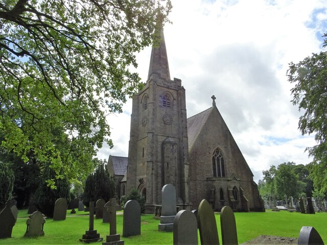
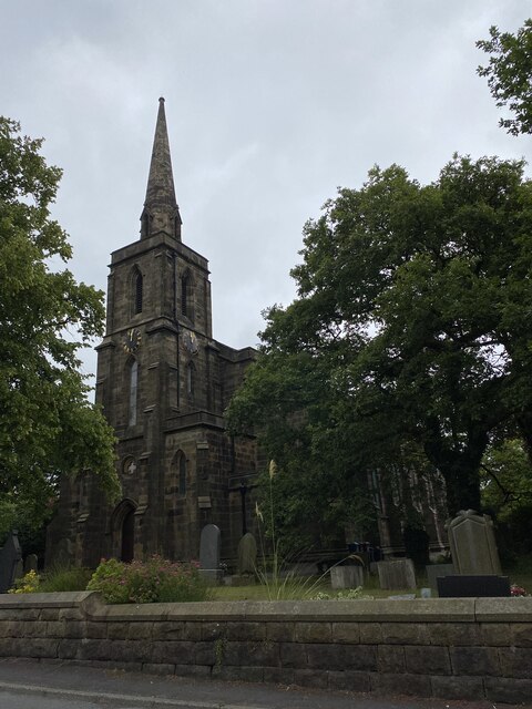
St Leonard's Church, Balderstone

St Leonard's Church is in the village of Balderstone, Lancashire, England. It is an active Anglican parish church in the deanery of Whalley, the archdeaconry...

Mellor Brook

Mellor Brook is a village which straddles the borders of the Boroughs of Ribble Valley and South Ribble in Lancashire, England. The village population...

Samlesbury Aerodrome

Samlesbury Aerodrome is a disused airfield at Balderstone near Samlesbury and Blackburn in the Ribble Valley district of Lancashire. The aerodrome is owned...

Nearby Amenities

Located within 500m of 53.779069,-2.5582216
Traffic Signals
Traffic Signals: signal
Lat/Long: 53.7767373/-2.5558283
Traffic Signals
Traffic Signals: signal
Lat/Long: 53.7770228/-2.5552415
Traffic Calming: yes
Lat/Long: 53.7786157/-2.5641686
Traffic Signals
Traffic Signals: signal
Traffic Signals Direction: backward
Lat/Long: 53.7767516/-2.555251
Access: private
Barrier: lift_gate
Lat/Long: 53.7766579/-2.5549529
Crossing
Lat/Long: 53.7774278/-2.5611235
Crossing
Lat/Long: 53.7772851/-2.5622232
Crossing
Lat/Long: 53.7776021/-2.5632371
Access: private
Barrier: lift_gate
Lat/Long: 53.7773392/-2.5570551
Crossing
Lat/Long: 53.7781022/-2.5635678
Crossing
Lat/Long: 53.7778319/-2.5584935
Traffic Signals
Traffic Signals: signal
Lat/Long: 53.7779091/-2.5551567
Traffic Signals
Traffic Signals: signal
Lat/Long: 53.7779352/-2.5547099
Crossing
Lat/Long: 53.7761056/-2.5635526
Traffic Signals
Traffic Signals: signal
Lat/Long: 53.7780067/-2.5546954
Traffic Signals
Traffic Signals: signal
Lat/Long: 53.7781779/-2.5551411
Traffic Signals
Traffic Signals: signal
Lat/Long: 53.7781307/-2.5551555
Traffic Signals
Traffic Signals: signal
Lat/Long: 53.7779066/-2.5550694
Thwaites Brewery
Addr City: Blackburn
Addr Housename: Thwaites Brewery
Addr Postcode: BB2 7LB
Addr Street: Myerscough Road
Craft: brewery
Operator: Thwaites
Product: beer
Lat/Long: 53.7783152/-2.5527223
Barrier: lift_gate
Lat/Long: 53.7769436/-2.5574399
Barrier: bollard
Lat/Long: 53.7773226/-2.5547892
Carter Fold Wood
Natural: wood
Lat/Long: 53.7796166/-2.5603903
Traffic Signals
Traffic Signals: signal
Traffic Signals Direction: forward
Lat/Long: 53.7769624/-2.5558928
Cycleway: asl
Lat/Long: 53.7779446/-2.5550616
Cycleway: asl
Lat/Long: 53.7779527/-2.5551648
Crossing
Lat/Long: 53.7779278/-2.5547543
Crossing
Lat/Long: 53.7779711/-2.5549
Crossing
Lat/Long: 53.7779872/-2.5550529
Crossing
Lat/Long: 53.7779785/-2.555181
Crossing
Lat/Long: 53.7781115/-2.5547107
Crossing
Lat/Long: 53.7780156/-2.5547503
The data included in this document is from www.openstreetmap.org. The data is made available under ODbL.

Have you been to Carter Fold Wood?

Leave your review of Carter Fold Wood below (or comments, questions and feedback).