Cornhill

Settlement in Banffshire

Scotland

Cornhill

Wind Turbine at Muirake One of a pair by B9022, close to Muirake Cottages.
Wind Turbine at Muirake Credit: Stanley Howe

Cornhill is a small village located in the historic county of Banffshire, in the northeast of Scotland. Situated on the banks of the River Deveron, it is nestled amidst picturesque countryside and offers a tranquil setting for its residents. The village is approximately 50 miles northwest of Aberdeen and is well-connected to nearby towns through road networks.

Cornhill boasts a rich history, with evidence of human settlement dating back to prehistoric times. The area has witnessed the rise and fall of several ancient civilizations, leaving behind various archaeological sites of interest. The village itself is quaint, with charming stone-built houses and traditional Scottish architecture giving it a distinct character.

Despite its small size, Cornhill offers a range of amenities for its residents. These include a community center, a primary school, and a church, which form the social hub of the village. The surrounding countryside provides ample opportunities for outdoor activities such as hiking, fishing, and birdwatching, attracting nature enthusiasts and tourists alike.

Cornhill also benefits from its proximity to the larger town of Keith, which is approximately 5 miles to the northwest. Keith offers additional amenities and services, including secondary schools, healthcare facilities, and a railway station, providing convenient access to other parts of Scotland.

In conclusion, Cornhill is a charming village with a rich history and a beautiful natural setting. Its peaceful atmosphere, coupled with a range of amenities and nearby towns, make it an attractive place to reside or visit for those seeking a rural Scottish experience.

If you have any feedback on the listing, please let us know in the comments section below.
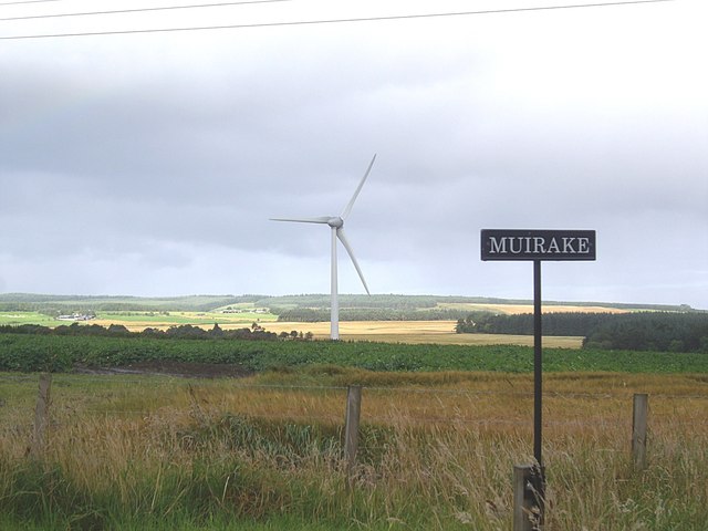
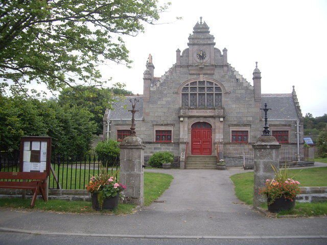
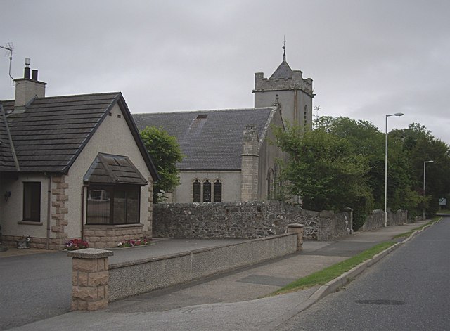
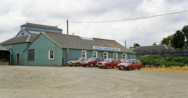
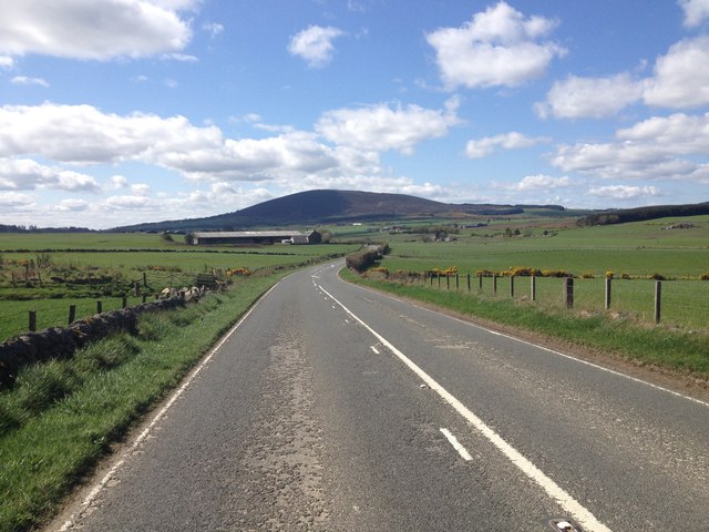
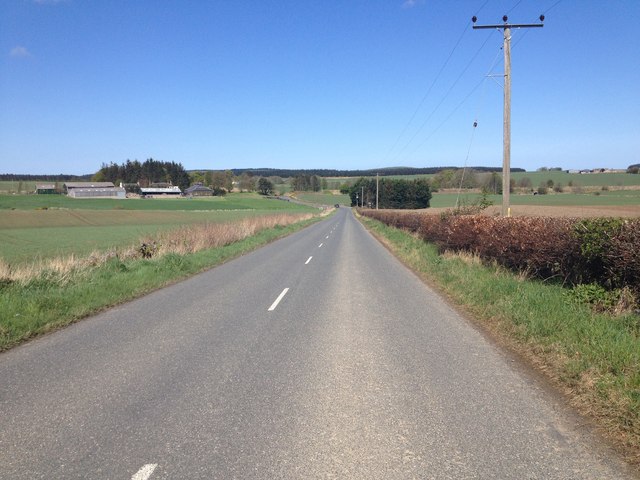
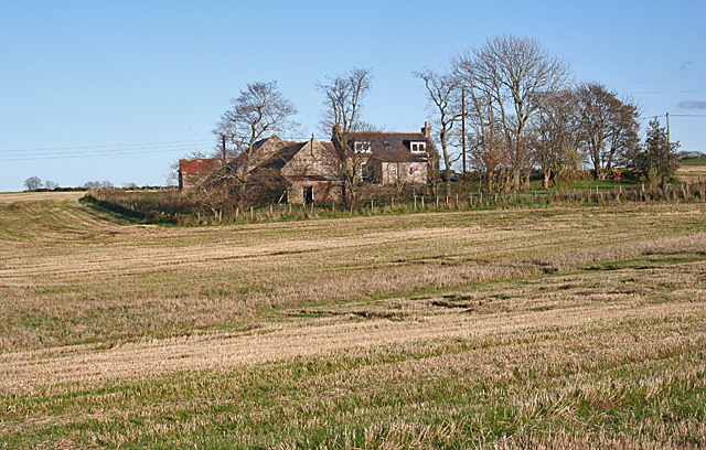
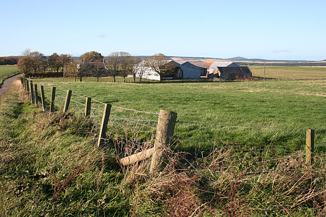
Cornhill Images

Images are sourced within 2km of 57.610634/-2.6970334 or Grid Reference NJ5858. Thanks to Geograph Open Source API. All images are credited.

Wind Turbine at Muirake One of a pair by B9022, close to Muirake Cottages.
Wind Turbine at Muirake
One of a pair by B9022, close to Muirake Cottages.
The Hay Memorial Hall, Cornhill By the A95. See <span class="nowrap"><a title="http://www.britishlistedbuildings.co.uk/sc-18788-cornhill-mid-street-hay-memorial-hall-and" rel="nofollow ugc noopener" href="http://www.britishlistedbuildings.co.uk/sc-18788-cornhill-mid-street-hay-memorial-hall-and">Link</a><img style="margin-left:2px;" alt="External link" title="External link - shift click to open in new window" src="https://s1.geograph.org.uk/img/external.png" width="10" height="10"/></span>
The Hay Memorial Hall, Cornhill
By the A95. See LinkExternal link
Hay Memorial Hall Built 1893 with funds provided by Wm Hay, a village emigre to Australia.
Hay Memorial Hall
Built 1893 with funds provided by Wm Hay, a village emigre to Australia.
Church of Scotland, Cornhill By A95.
Church of Scotland, Cornhill
By A95.
Cornhill 'PC' On the NW corner of Cornhill Playing Fields.
Cornhill 'PC'
On the NW corner of Cornhill Playing Fields.
Site of Cornhill station, 1988 View SE in the yard of Aberdeen & Northern Marts Ltd., with behind  some remains of the former station on the ex-GNS 'Coast' line between Cairnie Junction (to left) via (to right) Portsoy and Buckie to Elgin, which was all closed from 6/5/68.
Site of Cornhill station, 1988
View SE in the yard of Aberdeen & Northern Marts Ltd., with behind some remains of the former station on the ex-GNS 'Coast' line between Cairnie Junction (to left) via (to right) Portsoy and Buckie to Elgin, which was all closed from 6/5/68.
Minor road at Upper Culphin
Woodland at Upper Culphin
Minor road near Cornhill
B9023 near Cornhill
B9023 near Cornhill
Estate road to Park
Estate road to Park
B9023 near Brooms
B9023 near Brooms
A95 near Gordonstown
B9023 near Cornhill
B9023 near Cornhill
Old Milestone by the B9023, south of Cornhill, Fordyce parish Aberdeen granite by the B9023, in parish of Fordyce (District), Southeast of Cornhill, near 'Bends' sign, on grass verge, East side of road.

Inscription reads:-
6
(To Portsoy)

Surveyed

Milestone Society National ID: AD_PSAC06
Old Milestone by the B9023, south of Cornhill, Fordyce parish
Aberdeen granite by the B9023, in parish of Fordyce (District), Southeast of Cornhill, near 'Bends' sign, on grass verge, East side of road. Inscription reads:- 6 (To Portsoy) Surveyed Milestone Society National ID: AD_PSAC06
Old Milestone by the B9023, north of Brooms, Fordyce parish Aberdeen granite by the B9023, in parish of Fordyce (District), North of Brooms, near tree and short wooden fence, East side of road.

Inscription reads:-
7
(To Portsoy)

Surveyed

Milestone Society National ID: AD_PSAC07
Old Milestone by the B9023, north of Brooms, Fordyce parish
Aberdeen granite by the B9023, in parish of Fordyce (District), North of Brooms, near tree and short wooden fence, East side of road. Inscription reads:- 7 (To Portsoy) Surveyed Milestone Society National ID: AD_PSAC07
West Rothen One of several small crofts and holdings along the minor road at Rothen.
West Rothen
One of several small crofts and holdings along the minor road at Rothen.
Rothen This seems to be the principal of several farms and crofts in Rothen or Rothin.
Rothen
This seems to be the principal of several farms and crofts in Rothen or Rothin.
Show me another place!

Cornhill is located at Grid Ref: NJ5858 (Lat: 57.610634, Lng: -2.6970334)

Unitary Authority: Aberdeenshire

Police Authority: North East

What 3 Words

///assets.unfit.sprinkler. Near Aberchirder, Aberdeenshire

Nearby Locations

Cornhill

Related Wikis

Cornhill, Aberdeenshire

Cornhill (Scottish Gaelic: Cnoc an Arbhair) is a small village close to Banff, Aberdeenshire, Scotland. It lies 5 miles (8.0 km) to the south of Portsoy...

Cornhill railway station

Cornhill railway station was an intermediate stop situated on the Great North of Scotland Railway (GNoSR) line from Cairnie Junction to Tillynaught. There...

Castle of Park (Aberdeenshire)

Park or Castle of Park, is an A-listed rambling baronial mansion incorporating a 16th-century tower house. It is 4 miles (6.4 km) north-west of Aberchirder...

Tillynaught railway station

Tillynaught railway station or Tillynaught Junction was a junction railway station in what is now Aberdeenshire, Parish of Fordyce, 6 miles south-west...

Nearby Amenities

Located within 500m of 57.610634,-2.6970334
Cornhill
Name Gd: Cnoc an Arbhair
Place: village
Source: OS_OpenData_StreetView
Wikidata: Q2050648
Wikipedia: en:Cornhill, Aberdeenshire
Lat/Long: 57.6116818/-2.696266
Defibrillator
Booth: KX100
Covered: booth
Defibrillator Location: in disused phone box
Disused Amenity: telephone
Emergency: defibrillator
Man Made: telephone_box
Opening Hours: 24/7
Lat/Long: 57.6114346/-2.6973045
Post Box
Collection Times: Mo-Fr 12:15; Sa 12:00
Operator: Royal Mail
Post Box Design: type_b
Post Box Type: pillar
Ref: AB45 58
Royal Cypher: scottish_crown
Lat/Long: 57.6119066/-2.6953371
Material: wood
Power: pole
Lat/Long: 57.6106386/-2.7053672
Material: wood
Power: pole
Lat/Long: 57.610061/-2.7048039
Material: wood
Power: pole
Lat/Long: 57.609472/-2.7042353
Material: wood
Power: pole
Lat/Long: 57.6071471/-2.7020064
Material: wood
Power: pole
Lat/Long: 57.6077477/-2.702575
Material: wood
Power: pole
Lat/Long: 57.6088886/-2.7036908
Material: wood
Power: pole
Lat/Long: 57.6084072/-2.7032295
Material: wood
Power: pole
Transformer: distribution
Lat/Long: 57.6085236/-2.703326
Power: pole
Lat/Long: 57.6112621/-2.7046182
Power: pole
Lat/Long: 57.6117382/-2.7036605
Power: pole
Lat/Long: 57.6122236/-2.7027052
Power: pole
Lat/Long: 57.6126957/-2.70174
Power: pole
Lat/Long: 57.6131428/-2.7009423
Power: pole
Lat/Long: 57.6135899/-2.7001359
Power: pole
Lat/Long: 57.6141662/-2.6990846
Power: pole
Lat/Long: 57.6144919/-2.698474
Power: pole
Lat/Long: 57.6148717/-2.697787
Power: pole
Lat/Long: 57.6123185/-2.7009423
Power: pole
Lat/Long: 57.611936/-2.6992508
Power: pole
Lat/Long: 57.6147556/-2.6995204
Power: pole
Lat/Long: 57.6107216/-2.6890185
Power: pole
Lat/Long: 57.6114701/-2.6896259
Power: pole
Lat/Long: 57.612092/-2.6901445
Power: pole
Lat/Long: 57.612839/-2.6907626
Power: pole
Lat/Long: 57.6130679/-2.6913564
Power: pole
Lat/Long: 57.6133284/-2.6920847
Power: pole
Lat/Long: 57.6137991/-2.6924609
Power: pole
Lat/Long: 57.6142755/-2.6928613
Bus Stop
Silverhillock
Bus: yes
Naptan AtcoCode: 630023621
Naptan Bearing: NW
Naptan CommonName: Silverhillock
Naptan Indicator: at
Naptan NaptanCode: 23623735
Naptan Street: B9023
Naptan Verified: no
Public Transport: platform
Source: naptan;bing;naptan_compare_tool
Lat/Long: 57.6111568/-2.6975964
The data included in this document is from www.openstreetmap.org. The data is made available under ODbL.

Have you been to Cornhill?

Leave your review of Cornhill below (or comments, questions and feedback).