Brackenslack Wood
Wood, Forest in Westmorland Eden
England
Brackenslack Wood
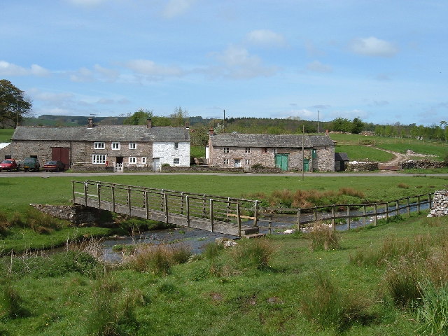
Brackenslack Wood, located in the county of Westmorland, is a picturesque forest that spans over a vast area. This stunning woodland is renowned for its natural beauty and diverse range of flora and fauna.
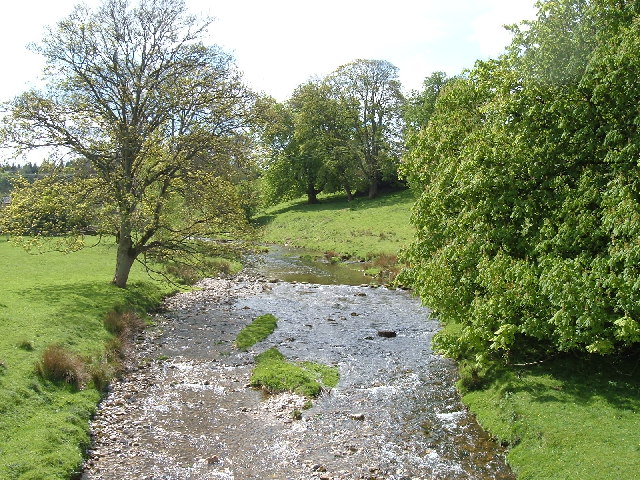
As visitors enter Brackenslack Wood, they are immediately greeted by a dense canopy of towering trees that create a cool and tranquil atmosphere. The wood is predominantly composed of native species such as oak, birch, and ash, which provide a habitat for a wide array of wildlife. Bird enthusiasts will be delighted to spot various species, including woodpeckers, owls, and thrushes, among others.
Throughout the woodland, a thick carpet of bracken ferns covers the forest floor, giving the wood its name. These ferns create a stunning golden hue during the autumn months, adding to the charm and allure of Brackenslack Wood.
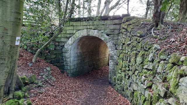
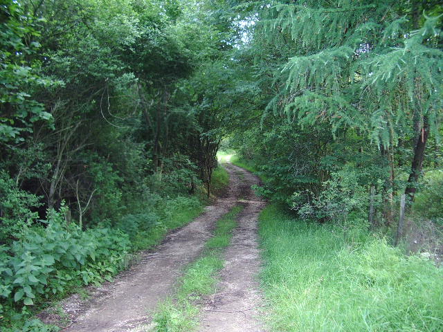
The forest is crisscrossed with a network of well-maintained walking trails, offering visitors the opportunity to explore its beauty at their leisure. These paths wind through the wood, leading to hidden glades and enchanting clearings, where one can pause and soak in the tranquility of the surroundings.
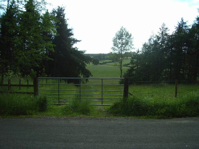
Brackenslack Wood is not only a haven for nature lovers but also provides an important ecological role. It acts as a vital corridor for wildlife, allowing them to move freely between habitats. The woodland is also managed sustainably, ensuring the preservation of its natural beauty for future generations to enjoy.
In conclusion, Brackenslack Wood in Westmorland is a captivating forest that offers a serene escape from the hustle and bustle of daily life. With its diverse flora and fauna, well-maintained trails, and breathtaking scenery, it is a must-visit destination for nature enthusiasts and those seeking solace in the wonders of the natural world.
If you have any feedback on the listing, please let us know in the comments section below.
Brackenslack Wood Images
Images are sourced within 2km of 54.543505/-2.5696309 or Grid Reference NY6316. Thanks to Geograph Open Source API. All images are credited.


Brackenslack Wood is located at Grid Ref: NY6316 (Lat: 54.543505, Lng: -2.5696309)
Administrative County: Cumbria
District: Eden
Police Authority: Cumbria
What 3 Words
///dished.gasping.devoured. Near Appleby-in-Westmorland, Cumbria
Nearby Locations
Related Wikis

Maulds Meaburn
Maulds Meaburn (English: ) is a village in Cumbria, England. It is located in the Lyvennet Valley and Yorkshire Dales National Park and is 13 miles from...

Flass
Flass, also called Flass House, is a large Grade II* listed house near the village of Maulds Meaburn, Cumbria, England. It was built in the 19th century...

St Lawrence's Church, Crosby Ravensworth
St Lawrence's Church is in the village of Crosby Ravensworth, Cumbria, England. It is an active Anglican parish church in the deanery of Appleby, the...

Crosby Ravensworth
Crosby Ravensworth is a village and civil parish in the Eden district of Cumbria, England. The village is about 4 miles (6.4 km) east of the M6 motorway...

Reagill
Reagill is a hamlet in the parish of Crosby Ravensworth, in the Eden district, in the English county of Cumbria, England. Its closest major settlements...

Littlebeck, Cumbria
Littlebeck is a hamlet in the Eden District in the English county of Cumbria, located near the small village of King's Meaburn, the hamlet of Lankaber...

Drybeck
Drybeck is a hamlet in the Eden district in the English county of Cumbria. It is near the town of Appleby-in-Westmorland. It is on Dry Beck and has a...

Sleagill
Sleagill is a small village and civil parish in the Eden district of Cumbria, England. At the 2011 census Sleagill was grouped with Newby giving a total...
Nearby Amenities
Located within 500m of 54.543505,-2.5696309Have you been to Brackenslack Wood?
Leave your review of Brackenslack Wood below (or comments, questions and feedback).