Gill Wood
Wood, Forest in Lancashire Lancaster
England
Gill Wood

Gill Wood, located in Lancashire, England, is a stunning forested area that spans across a significant stretch of land. It is nestled within the rural countryside, offering visitors a tranquil and picturesque setting to explore and appreciate nature.
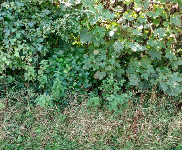
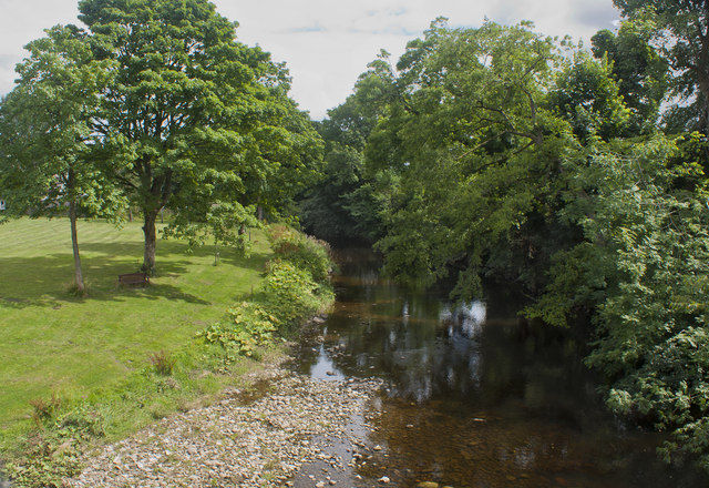
This woodland is known for its rich biodiversity and is home to a diverse range of plant and animal species. The lush greenery and tall, majestic trees create a serene atmosphere, making it an ideal destination for nature enthusiasts, hikers, and photographers. The forest floor is adorned with vibrant wildflowers during the spring and summer months, adding a burst of color to the landscape.
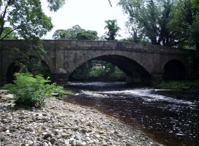
Gill Wood is well-maintained and boasts several well-marked trails, providing visitors with the opportunity to embark on leisurely walks or more challenging hikes. These paths wind through the forest, leading to hidden gems such as babbling brooks, enchanting clearings, and breathtaking viewpoints. The peaceful ambiance and natural beauty of Gill Wood make it an idyllic spot for picnics, birdwatching, or simply unwinding amidst the soothing sounds of nature.
The forest also plays a crucial role in conservation efforts, with local organizations working tirelessly to preserve and protect its unique ecosystem. Visitors can learn about the flora and fauna through informative displays, guided tours, and educational events that take place within the wood.
Overall, Gill Wood, Lancashire offers a splendid opportunity to escape the hustle and bustle of city life and immerse oneself in the tranquility and beauty of nature. It is a haven for wildlife, a sanctuary for outdoor enthusiasts, and a place where one can truly appreciate the wonders of the natural world.
If you have any feedback on the listing, please let us know in the comments section below.
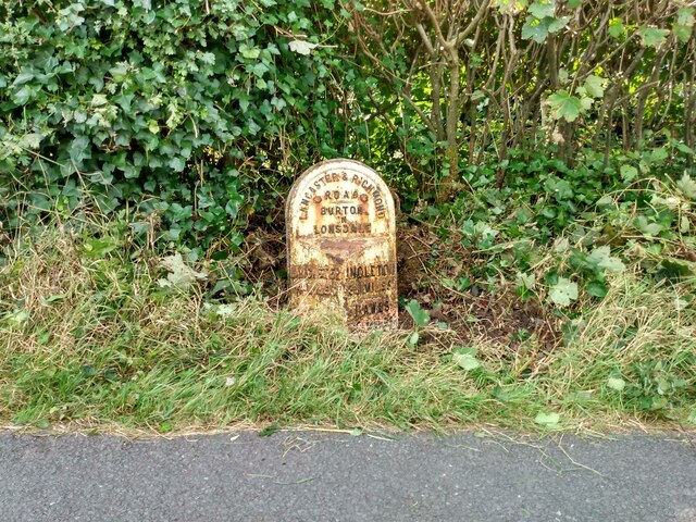
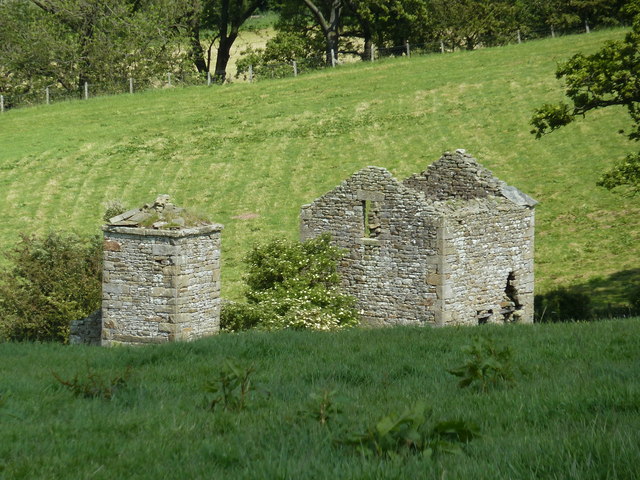
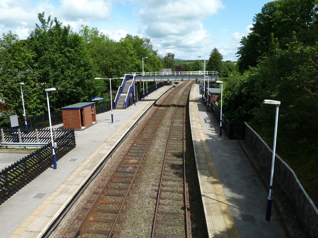
Gill Wood Images
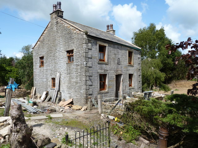
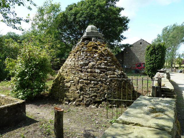
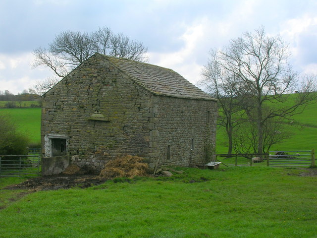
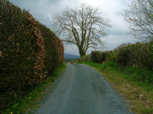
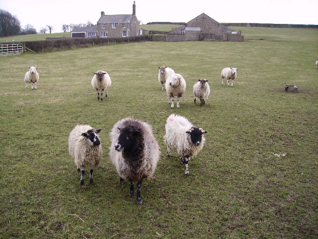
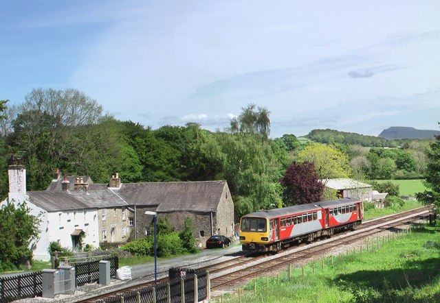
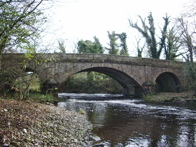
Images are sourced within 2km of 54.134058/-2.5647153 or Grid Reference SD6371. Thanks to Geograph Open Source API. All images are credited.


Gill Wood is located at Grid Ref: SD6371 (Lat: 54.134058, Lng: -2.5647153)
Administrative County: Lancashire
District: Lancaster
Police Authority: Lancashire
What 3 Words
///inflation.blemishes.steepest. Near High Bentham, North Yorkshire
Nearby Locations
Related Wikis

The Ridding
The Ridding is a Victorian country house located in the village of Bentham, North Yorkshire, England. It is recorded in the National Heritage List for...
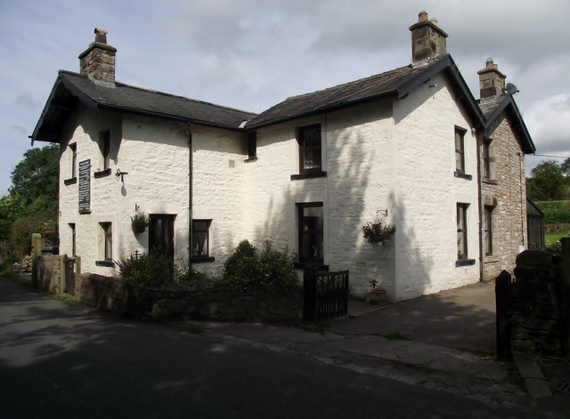
Wennington, Lancashire
Wennington is a civil parish in the City of Lancaster district in Lancashire, England. The 2001 Census recorded the parish's population as 102, and the...

Wennington Hall
Wennington Hall is a former country house in Wennington, a village in the City of Lancaster district in Lancashire, England. The house is a Grade II listed...

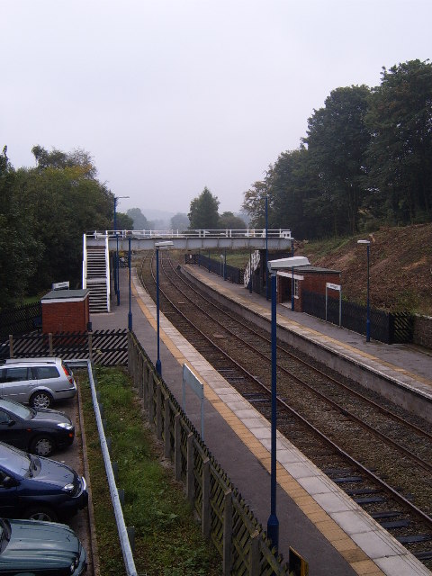
Wennington railway station
Wennington is a railway station on the Bentham Line, which runs between Leeds and Morecambe via Skipton. The station, situated 15+3⁄4 miles (25 km) east...
Nearby Amenities
Located within 500m of 54.134058,-2.5647153Have you been to Gill Wood?
Leave your review of Gill Wood below (or comments, questions and feedback).