Elsin Fell

Wood, Forest in Northumberland

England

Elsin Fell

Forest Pool near Kielder Viaduct
Forest Pool near Kielder Viaduct Credit: Philip Cornwall

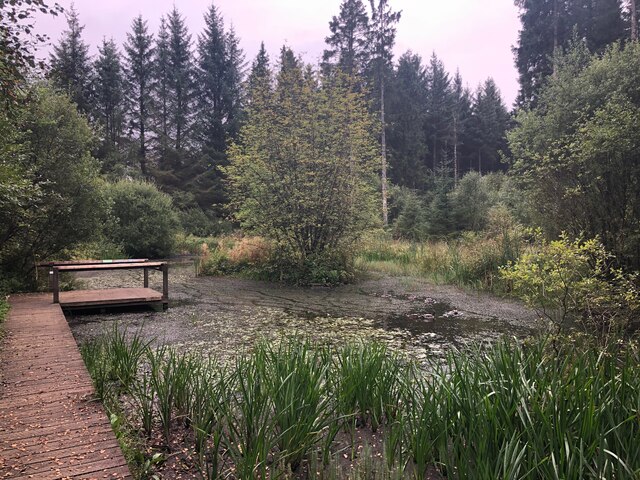
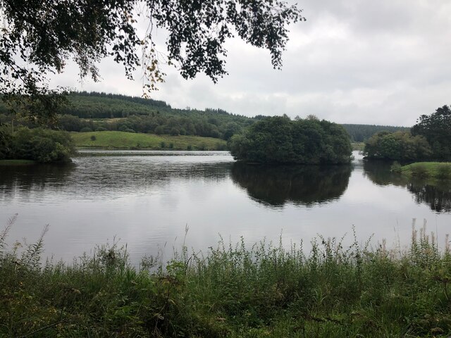
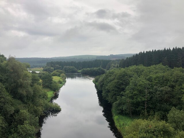
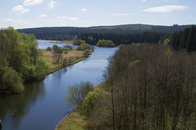
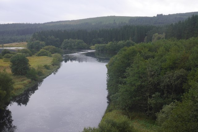
Elsin Fell is a picturesque woodland area located in Northumberland, England. Known for its natural beauty and serene atmosphere, this forested region attracts nature enthusiasts, hikers, and photographers from near and far.

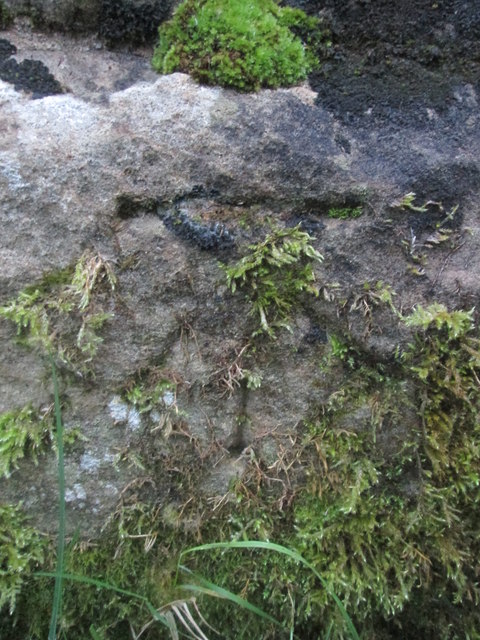
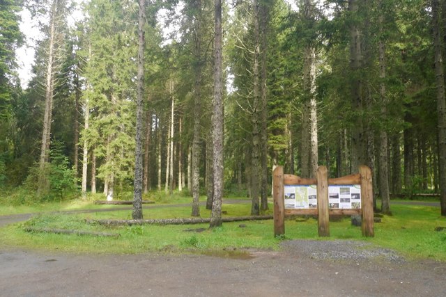
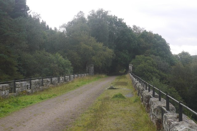
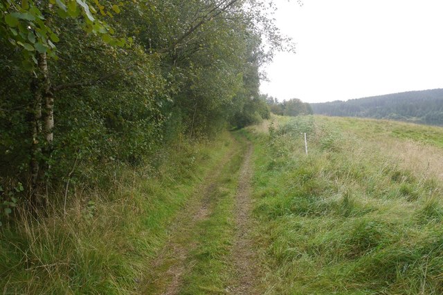
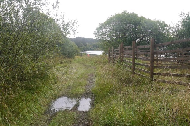
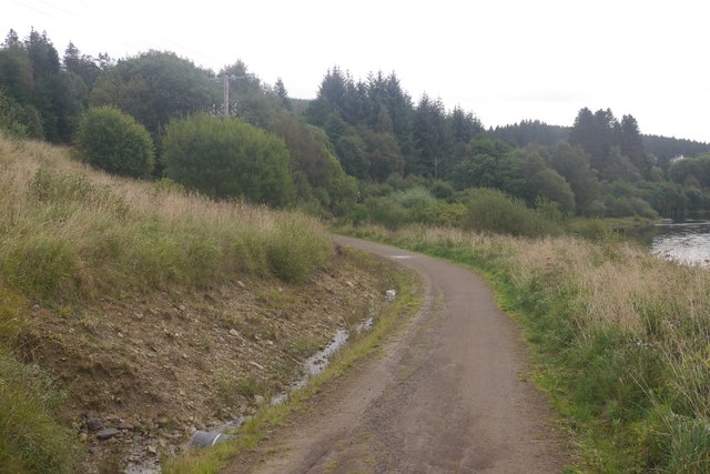
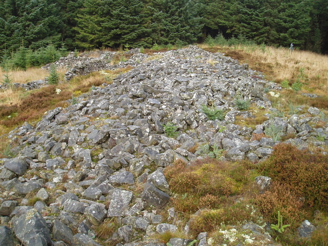
Covering an expansive area, Elsin Fell is home to a diverse range of flora and fauna. The forest is predominantly composed of native trees such as oak, beech, and birch, which create a dense canopy overhead, providing shade and shelter for the undergrowth below. The forest floor is adorned with a carpet of wildflowers, ferns, and mosses, adding to the enchanting ambiance of the area.

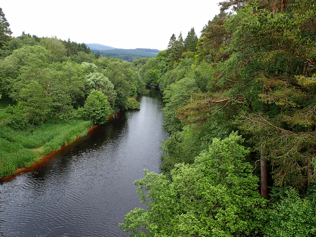
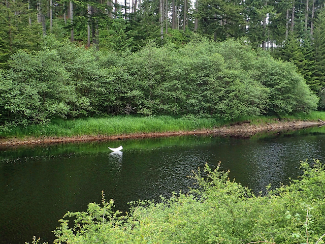
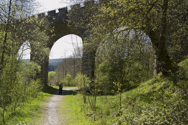
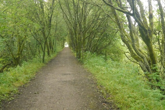
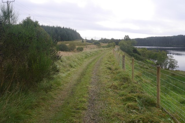
Traversing Elsin Fell, visitors can discover numerous walking trails and footpaths that wind through the woods, offering stunning views of the surrounding landscape. As one explores deeper into the forest, they may stumble upon babbling brooks and small streams, adding to the tranquil setting.

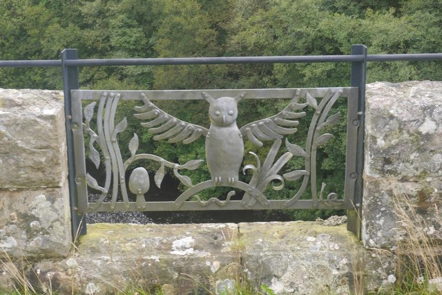
The forest is also home to a diverse array of wildlife. Deer, foxes, and squirrels are a common sight, while birdwatchers can spot various species of birds, including woodpeckers and owls. Elsin Fell provides a haven for these creatures, as it offers ample food sources and a peaceful environment.

Throughout the year, Elsin Fell showcases the beauty of the changing seasons. In spring, the forest bursts into life with vibrant blossoms and fresh green foliage. Summer brings a lush canopy of leaves, creating a cool and inviting atmosphere. In autumn, the forest is a riot of color as the leaves turn golden, orange, and red. Finally, winter blankets the woods in a layer of snow, creating a magical winter wonderland.

Elsin Fell, with its serene ambiance, picturesque landscapes, and abundant wildlife, is a true gem of Northumberland, offering visitors an opportunity to immerse themselves in the beauty of nature.

If you have any feedback on the listing, please let us know in the comments section below.

Elsin Fell Images

Images are sourced within 2km of 55.212504/-2.5809881 or Grid Reference NY6391. Thanks to Geograph Open Source API. All images are credited.

Forest Pool near Kielder Viaduct
View from Hide on Bakethin Nature Reserve Link to Northumberland Wildlife Trust page on Bakethin Reserve <span class="nowrap"><a title="https://www.nwt.org.uk/nature-reserves/bakethin" rel="nofollow ugc noopener" href="https://www.nwt.org.uk/nature-reserves/bakethin">Link</a><img style="margin-left:2px;" alt="External link" title="External link - shift click to open in new window" src="https://s1.geograph.org.uk/img/external.png" width="10" height="10"/></span>
View from Hide on Bakethin Nature Reserve
Link to Northumberland Wildlife Trust page on Bakethin Reserve LinkExternal link
View of river North Tyne as it enters Bakethin Reservoir Taken from the disused railway viaduct that crosses the river.
View of river North Tyne as it enters Bakethin Reservoir
Taken from the disused railway viaduct that crosses the river.
Lewis Burn Lewis Burn nearing its confluence with the River North Tyne in the Kielder Valley (before impoundment of the new reservoir). The bridges carried the C200 classified road that runs up the valley from Falstone to Deadwater. The nearer bridge is long disused, having been made redundant when the road was realigned. Both bridges, and the road, have been replaced with a new road constructed in advance of the reservoir being constructed.
Lewis Burn
Lewis Burn nearing its confluence with the River North Tyne in the Kielder Valley (before impoundment of the new reservoir). The bridges carried the C200 classified road that runs up the valley from Falstone to Deadwater. The nearer bridge is long disused, having been made redundant when the road was realigned. Both bridges, and the road, have been replaced with a new road constructed in advance of the reservoir being constructed.
Ordnance Survey Cut Mark This OS cut mark can be found on the stone containing the name of Butteryhaugh Bridge. It marks a point 189.360m above mean sea level.
Ordnance Survey Cut Mark
This OS cut mark can be found on the stone containing the name of Butteryhaugh Bridge. It marks a point 189.360m above mean sea level.
River North Tyne
River North Tyne
Public Art Or at least I think it is. Might be just a piece of rubbish.
Public Art
Or at least I think it is. Might be just a piece of rubbish.
The Kielder Viaduct The Kielder Viaduct was built to match the Kielder Castle with its false arrow slits and the "crenellations" i.e. the battlements.  When built it was in open ground but since then the Kielder Forest has been planted and grown up as well as the Kielder Reservoir has been built and filled which have both impinged on the viaduct. The viaduct itself is special as it is a skewed viaduct with the lines of stones set at an angle to the arches which made building it rather difficult.
The Kielder Viaduct
The Kielder Viaduct was built to match the Kielder Castle with its false arrow slits and the "crenellations" i.e. the battlements. When built it was in open ground but since then the Kielder Forest has been planted and grown up as well as the Kielder Reservoir has been built and filled which have both impinged on the viaduct. The viaduct itself is special as it is a skewed viaduct with the lines of stones set at an angle to the arches which made building it rather difficult.
The top of the Kielder Reservoir The river flowing into Kielder water at this point is the Kielder Burn. This is the most northerly of the various inflows.
The top of the Kielder Reservoir
The river flowing into Kielder water at this point is the Kielder Burn. This is the most northerly of the various inflows.
Forestry Commission car park, Viaduct Wood One of many around Kielder Water.
Forestry Commission car park, Viaduct Wood
One of many around Kielder Water.
Trackbed, Border Counties Railway Approaching Kielder Viaduct.
Trackbed, Border Counties Railway
Approaching Kielder Viaduct.
Kielder Burn The head of Kielder Water, seen from Kielder Viaduct.
Kielder Burn
The head of Kielder Water, seen from Kielder Viaduct.
Kielder Viaduct Built to carry the railway between Hexham and Riccarton Junction.
Kielder Viaduct
Built to carry the railway between Hexham and Riccarton Junction.
Artwork, Kielder Viaduct
Trackbed, Border Counties Railway This looks as if the grass is often long here. There is some fencing being done and the vehicle movements to and from the site have flattened the grass.
Trackbed, Border Counties Railway
This looks as if the grass is often long here. There is some fencing being done and the vehicle movements to and from the site have flattened the grass.
Trackbed, Border Counties Railway The grass has been flattened by vehicles involved in the building of a new fence.
Trackbed, Border Counties Railway
The grass has been flattened by vehicles involved in the building of a new fence.
Border Counties Railway Here the trackbed emerges from the Kielder Water reservoir.
Border Counties Railway
Here the trackbed emerges from the Kielder Water reservoir.
Lakeside Way Path running all the way around Kielder Water.
Lakeside Way
Path running all the way around Kielder Water.
Show me another place!

Elsin Fell is located at Grid Ref: NY6391 (Lat: 55.212504, Lng: -2.5809881)

Unitary Authority: Northumberland

Police Authority: Northumbria

What 3 Words

///bandaged.retire.clays. Near Rochester, Northumberland

Related Wikis

Lewiefield Halt railway station

Lewiefield Halt was a wooden-built halt that served the hamlet of Lewie, and a Ministry of Labour training camp, in Northumberland, England. == History... ==

HMS Standard (shore establishment)

HMS Standard was a British Royal Navy shore establishment between 1942 and 1945. Situated well away from the sea near Kielder in Northumberland, the base...

Devil's Lapful

Devil's Lapful is an archaeological site in Northumberland, England, in Kielder Forest about 0.8 miles (1.3 km) south-east of Kielder. The site, a Neolithic...

Kielder

Kielder is a small, remote village in western Northumberland, England. Located at the head of Kielder Water and in the north west of Kielder Forest, the...

Nearby Amenities

Located within 500m of 55.212504,-2.5809881
Elsin Fell
Place: locality
Lat/Long: 55.2116119/-2.5806615
The data included in this document is from www.openstreetmap.org. The data is made available under ODbL.

Have you been to Elsin Fell?

Leave your review of Elsin Fell below (or comments, questions and feedback).