Perry Holme Wood

Wood, Forest in Lancashire Lancaster

England

Perry Holme Wood

Old tollhouse The Toll Board on the tollhouse on the B6480 at Low Bentham.  This had been a private road that was opened to the public on 3rd May 1932. Even wheelbarrows were charged 2d!
Old tollhouse Credit: Chris Minto

Perry Holme Wood is a charming woodland located in Lancashire, England. Covering an area of approximately 120 hectares, it is a delightful destination for nature lovers and outdoor enthusiasts. The wood is situated near the village of Wood and is often referred to as Perry Holme Wood or simply Perry Wood.

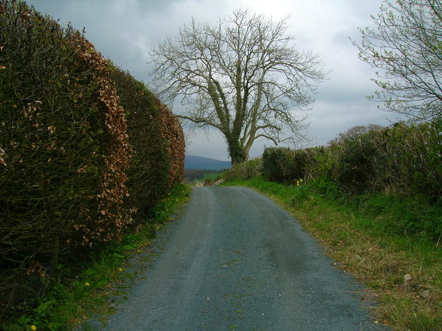
The wood is known for its rich biodiversity and picturesque landscapes. It is predominantly composed of deciduous trees, such as oak, birch, and beech, which create a vibrant canopy overhead. The forest floor is adorned with a variety of wildflowers, including bluebells and primroses, adding to the wood's natural beauty.

Perry Holme Wood is also home to a diverse range of wildlife. Visitors may have the opportunity to spot various bird species, such as woodpeckers and tawny owls, as well as small mammals like squirrels and foxes. The wood provides an important habitat for these creatures, offering shelter and food sources throughout the seasons.

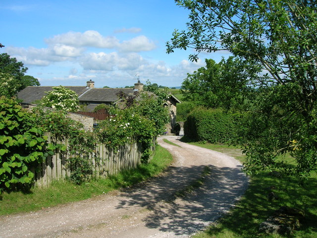
Walking trails wind through the wood, allowing visitors to explore its enchanting surroundings. These paths are well-maintained and provide a pleasant and accessible experience for all ages. Nature enthusiasts can enjoy leisurely strolls, birdwatching, or simply immerse themselves in the peaceful ambiance of the wood.

The wood is open to the public year-round, and there is no admission fee. It is a popular destination for families, hikers, and nature photographers seeking a tranquil escape from the hustle and bustle of daily life. Perry Holme Wood is a hidden gem in Lancashire, offering a slice of natural beauty and serenity for all to enjoy.

If you have any feedback on the listing, please let us know in the comments section below.

Perry Holme Wood Images

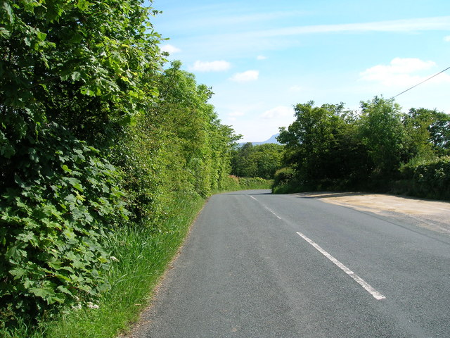
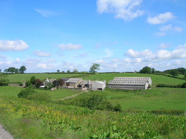
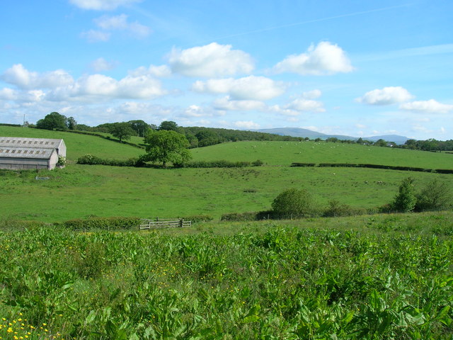
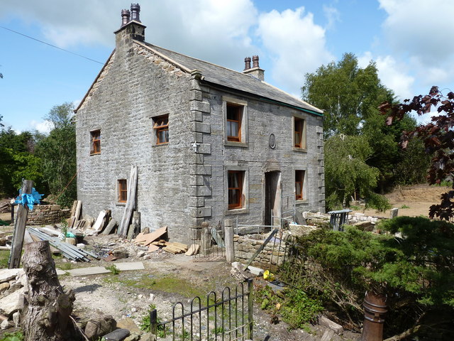
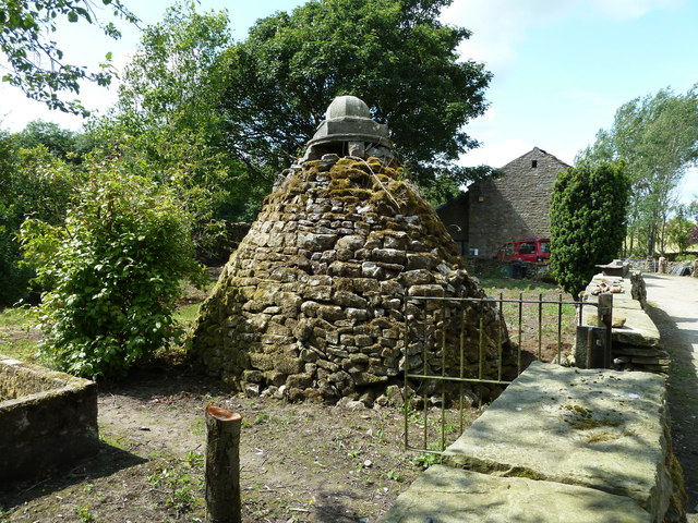
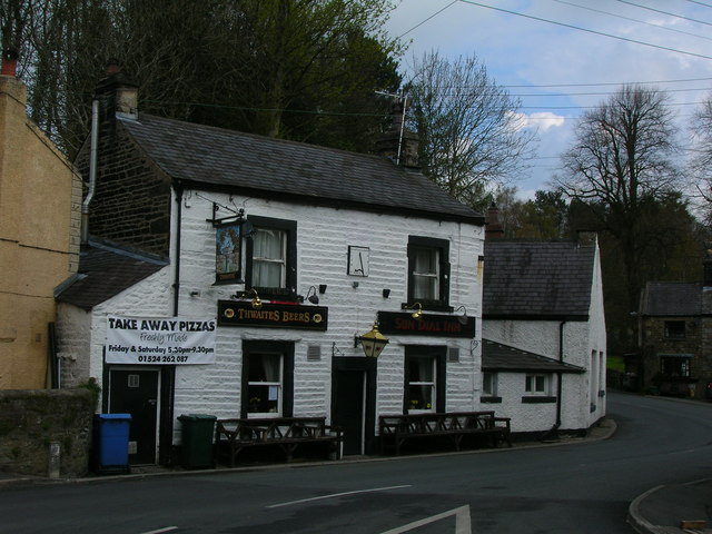
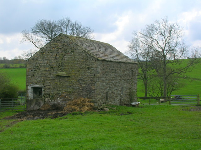
Images are sourced within 2km of 54.122594/-2.5657681 or Grid Reference SD6369. Thanks to Geograph Open Source API. All images are credited.

Old tollhouse The Toll Board on the tollhouse on the B6480 at Low Bentham.  This had been a private road that was opened to the public on 3rd May 1932. Even wheelbarrows were charged 2d!
Old tollhouse
The Toll Board on the tollhouse on the B6480 at Low Bentham. This had been a private road that was opened to the public on 3rd May 1932. Even wheelbarrows were charged 2d!
Wennington Station - platform for trains towards Leeds
Clintsfield Colliery, Ruin Former Engine and Boiler Houses of Clintsfield Colliery, worked until 1856, later converted into a house but now derelict. It is a 'listed building' and under the administration of English Heritage.
Clintsfield Colliery, Ruin
Former Engine and Boiler Houses of Clintsfield Colliery, worked until 1856, later converted into a house but now derelict. It is a 'listed building' and under the administration of English Heritage.
Wennington Station and footbridge
Bridleway, Ashleys Farm
Minor road towards Low Bentham
Greenside Farm
Greenside Farm
Farmland, Greenside Farm
The Blands, House Gutted by fire in February 2009 and now in process of rebuilding, this house was once the home of 'Perpetual' Arthur Burrow. The multi talented and colourful Mr Burrow (1759 - 1827) earned his 'Perpetual' name from his unending quest to develop a machine capable of perpetual motion. He went as far as diverting a stream under his house and engineering a constantly moving grindstone outside the house. A blacksmith by trade he also surreptitiously mined coal from his own mine entered by a trapdoor within the house. He fathered many children and claimed to have been taught to read by an angel, after which he could quote the bible to the letter. When he died, it is said he was buried in a glass fronted coffin as he was sure he would cheat death return from the grave.His grave is in the churchyard of St James the Less, Tatham (SD6069).The mine and attached catacombs are unsafe to visit but the house and gardens are worth a look.
The Blands, House
Gutted by fire in February 2009 and now in process of rebuilding, this house was once the home of 'Perpetual' Arthur Burrow. The multi talented and colourful Mr Burrow (1759 - 1827) earned his 'Perpetual' name from his unending quest to develop a machine capable of perpetual motion. He went as far as diverting a stream under his house and engineering a constantly moving grindstone outside the house. A blacksmith by trade he also surreptitiously mined coal from his own mine entered by a trapdoor within the house. He fathered many children and claimed to have been taught to read by an angel, after which he could quote the bible to the letter. When he died, it is said he was buried in a glass fronted coffin as he was sure he would cheat death return from the grave.His grave is in the churchyard of St James the Less, Tatham (SD6069).The mine and attached catacombs are unsafe to visit but the house and gardens are worth a look.
Folly, The Blands In the garden of 'Blands' and said to have been built by 'Perpetual' Arthur Burrow for use as a storehouse. Also known locally, I think, as the Goose House.
Folly, The Blands
In the garden of 'Blands' and said to have been built by 'Perpetual' Arthur Burrow for use as a storehouse. Also known locally, I think, as the Goose House.
Sun Dial Inn, Low Bentham
Barn at Greenfold
Barn at Greenfold
Access track to Higher Perries
Russells Farmhouse with a 1682 date stone.
Russells
Farmhouse with a 1682 date stone.
Sun Dial Inn, Low Bentham Village pub still surviving.
Sun Dial Inn, Low Bentham
Village pub still surviving.
Cottages in Low Bentham Terrace of small cottages close to the centre of the village.
Cottages in Low Bentham
Terrace of small cottages close to the centre of the village.
Stone cross, Low Bentham Erected by the villagers in 1902 in celebration of the coronation of Edward VII.
Stone cross, Low Bentham
Erected by the villagers in 1902 in celebration of the coronation of Edward VII.
St. John the Baptist, Low Bentham Church of England parish church in the Diocese of Bradford. The tower is c1340, but the rest of the building dates from 1876.
St. John the Baptist, Low Bentham
Church of England parish church in the Diocese of Bradford. The tower is c1340, but the rest of the building dates from 1876.
Show me another place!

Perry Holme Wood is located at Grid Ref: SD6369 (Lat: 54.122594, Lng: -2.5657681)

Administrative County: Lancashire

District: Lancaster

Police Authority: Lancashire

What 3 Words

///dorms.princely.round. Near High Bentham, North Yorkshire

Related Wikis

The Ridding

The Ridding is a Victorian country house located in the village of Bentham, North Yorkshire, England. It is recorded in the National Heritage List for...

Wennington, Lancashire

Wennington is a civil parish in the City of Lancaster district in Lancashire, England. The 2001 Census recorded the parish's population as 102, and the...

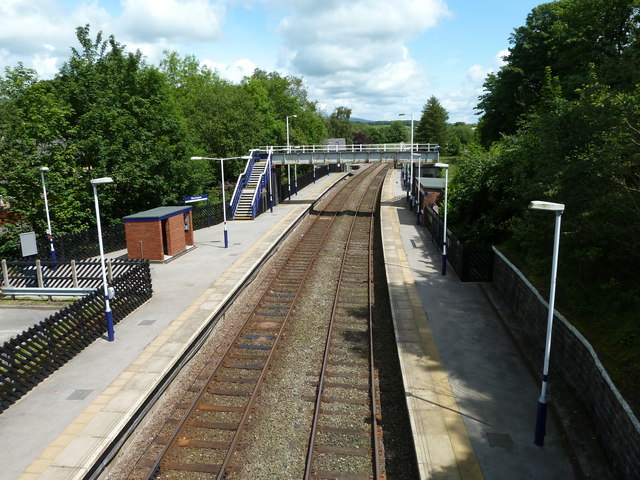
Wennington railway station

Wennington is a railway station on the Bentham Line, which runs between Leeds and Morecambe via Skipton. The station, situated 15+3⁄4 miles (25 km) east...

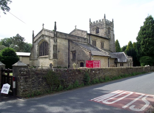
St John the Baptist's Church, Low Bentham

St John the Baptist's Church is the parish church of Low Bentham, a settlement in North Yorkshire, in England. A church in Bentham was recorded in the...

Nearby Amenities

Located within 500m of 54.122594,-2.5657681
Power: pole
Lat/Long: 54.1246735/-2.572293
Power: pole
Lat/Long: 54.1250676/-2.5712698
Power: pole
Lat/Long: 54.1255023/-2.5700655
Generator Method: photovoltaic
Generator Orientation: west
Generator Output Electricity: yes
Generator Solar Modules: 16
Generator Source: solar
Generator Type: solar_photovoltaic_panel
Location: roof
Power: generator
Lat/Long: 54.118537/-2.566074
Power: pole
Lat/Long: 54.1186349/-2.5648817
Power: pole
Lat/Long: 54.1214702/-2.5731555
Power: pole
Lat/Long: 54.1216499/-2.5592237
Power: pole
Lat/Long: 54.1215504/-2.5602
Power: pole
Lat/Long: 54.125865/-2.5690765
Power: pole
Lat/Long: 54.1262947/-2.5679048
Power: pole
Lat/Long: 54.1267606/-2.5666345
The data included in this document is from www.openstreetmap.org. The data is made available under ODbL.

Have you been to Perry Holme Wood?

Leave your review of Perry Holme Wood below (or comments, questions and feedback).