Long Wood

Wood, Forest in Somerset Mendip

England

Long Wood

The Mendip Inn Public house on the A37
The Mendip Inn Credit: Eirian Evans

Long Wood is a picturesque forest located in Somerset, England. Spanning over 1,000 acres, it is one of the largest ancient woodlands in the region. The wood is situated on the slopes of the iconic Quantock Hills, a designated Area of Outstanding Natural Beauty.

Long Wood boasts a rich and diverse ecosystem, home to a wide array of flora and fauna. It primarily consists of broadleaf trees, including oak, beech, ash, and hazel. These majestic trees provide a dense canopy, creating a tranquil and shaded environment perfect for exploring and hiking.

The woodland floor is adorned with a vibrant carpet of wildflowers, such as bluebells and primroses, which bloom in the springtime. The undergrowth is teeming with ferns, mosses, and lichens, adding to the overall enchanting atmosphere of the forest.

The forest is a haven for wildlife enthusiasts, as it supports a variety of animal species. Deer, badgers, foxes, and squirrels are frequently spotted within the woods, while birdwatchers can delight in the presence of woodpeckers, owls, and various songbirds.

Long Wood offers an extensive network of well-maintained footpaths and trails, allowing visitors to explore its natural wonders at their own pace. These paths wind through the forest, leading to hidden glades, babbling brooks, and panoramic viewpoints. The wood also provides opportunities for camping, picnicking, and nature photography.

With its serene beauty and abundant wildlife, Long Wood is a true gem of Somerset. It offers a perfect escape from the hustle and bustle of everyday life, inviting visitors to immerse themselves in nature's splendor.

If you have any feedback on the listing, please let us know in the comments section below.
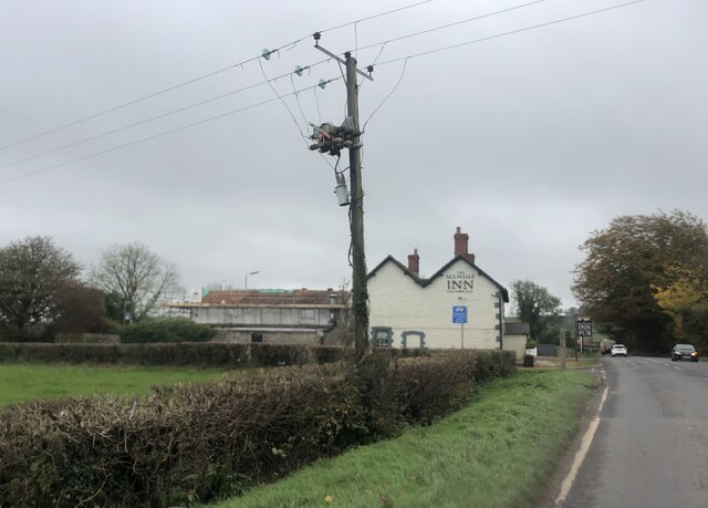
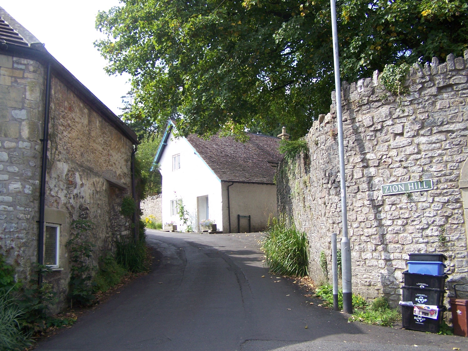
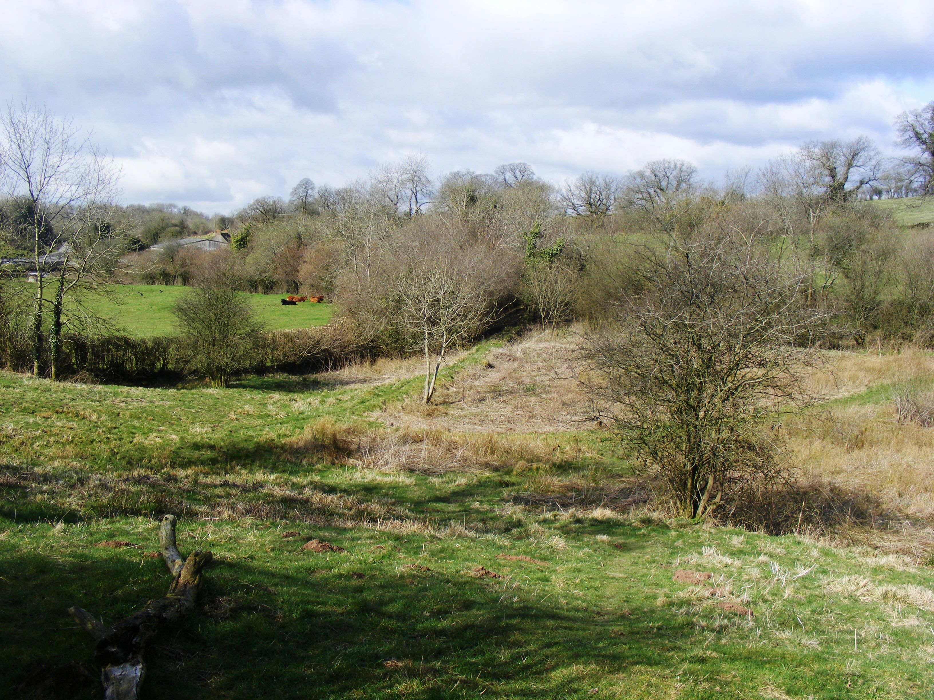
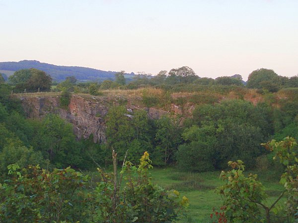
Long Wood Images

Images are sourced within 2km of 51.219555/-2.530078 or Grid Reference ST6346. Thanks to Geograph Open Source API. All images are credited.

The Mendip Inn Public house on the A37
The Mendip Inn
Public house on the A37
Overgrown Roman Road This small footpath marks the line of what used to be the Fosse Way. It runs north straight up to and over the summit of Beacon Hill showing Roman road building engineers had little regard for physical obstructions
Overgrown Roman Road
This small footpath marks the line of what used to be the Fosse Way. It runs north straight up to and over the summit of Beacon Hill showing Roman road building engineers had little regard for physical obstructions
Path and Sign at Beacon Hill Wood
Old Milepost by A37, Bath Road, opposite former Downside Inn, North of Shepton Mallet The Milepost is located on the bank alongside the road on the East side.  Parish of Shepton Mallet (Mendip District). Cast iron post, plated iron casting design, erected by the Shepton Mallet turnpike trust in the 19th Century, hole in top below "Bath", missing rivet. An earlier photograph can be found here: <a title="https://www.geograph.org.uk/photo/6044224" href="https://www.geograph.org.uk/photo/6044224">Link</a> 

Inscription reads:-  
SHEPTON / MALLET / 1  : : BRISTOL / 19 : : BATH / 16 

Grade II listed. List Entry Number: 1167921 <span class="nowrap"><a title="https://historicengland.org.uk/listing/the-list/list-entry/1167921" rel="nofollow ugc noopener" href="https://historicengland.org.uk/listing/the-list/list-entry/1167921">Link</a><img style="margin-left:2px;" alt="External link" title="External link - shift click to open in new window" src="https://s1.geograph.org.uk/img/external.png" width="10" height="10"/></span> 

Milestone Society National ID: SO_SMBR01
Old Milepost by A37, Bath Road, opposite former Downside Inn, North of Shepton Mallet
The Milepost is located on the bank alongside the road on the East side.  Parish of Shepton Mallet (Mendip District). Cast iron post, plated iron casting design, erected by the Shepton Mallet turnpike trust in the 19th Century, hole in top below "Bath", missing rivet. An earlier photograph can be found here: Link  Inscription reads:- SHEPTON / MALLET / 1 : : BRISTOL / 19 : : BATH / 16 Grade II listed. List Entry Number: 1167921 LinkExternal link Milestone Society National ID: SO_SMBR01
Old Milepost by A37, Bristol Road, near junction of A37 and A367 The Milepost is located on grass verge on the East of the road.  Parish of Ashwick (Mendip District). Cast iron post, plated iron casting design, erected by the Shepton Mallet turnpike trust in the 19th Century. An earlier photograph can be found here: <a title="https://www.geograph.org.uk/photo/6061448" href="https://www.geograph.org.uk/photo/6061448">Link</a> 

Inscription reads:- 
SHEPTON / MALLET / 2  : : BRISTOL / 18 : : BATH / 15  

Grade II listed. List Entry Number: 1058479 <span class="nowrap"><a title="https://historicengland.org.uk/listing/the-list/list-entry/1058479" rel="nofollow ugc noopener" href="https://historicengland.org.uk/listing/the-list/list-entry/1058479">Link</a><img style="margin-left:2px;" alt="External link" title="External link - shift click to open in new window" src="https://s1.geograph.org.uk/img/external.png" width="10" height="10"/></span> 

Milestone Society National ID: SO_SMBR02
Old Milepost by A37, Bristol Road, near junction of A37 and A367
The Milepost is located on grass verge on the East of the road.  Parish of Ashwick (Mendip District). Cast iron post, plated iron casting design, erected by the Shepton Mallet turnpike trust in the 19th Century. An earlier photograph can be found here: Link  Inscription reads:- SHEPTON / MALLET / 2 : : BRISTOL / 18 : : BATH / 15 Grade II listed. List Entry Number: 1058479 LinkExternal link Milestone Society National ID: SO_SMBR02
2011 : Ashwick Court from Blackley Lane Blackley Lane follows the bottom of a small valley from Benter west to Badger's Cross. About half way along we see Ashwick Court at the top of the hill to the south.
2011 : Ashwick Court from Blackley Lane
Blackley Lane follows the bottom of a small valley from Benter west to Badger's Cross. About half way along we see Ashwick Court at the top of the hill to the south.
2011 : Crossroads with tractor at Badger's Cross A tractor with trailer waits to emerge carefully onto the minor road between Gurney Slade and Oakhill.
The signpost indicates Moorwood and Benter to the left and Shepton Mallet to the right.
2011 : Crossroads with tractor at Badger's Cross
A tractor with trailer waits to emerge carefully onto the minor road between Gurney Slade and Oakhill. The signpost indicates Moorwood and Benter to the left and Shepton Mallet to the right.
2011 : A37 heading north toward Gurney Slade On to Ston Easton, Farrington Gurney, Pensford and Bristol.
A few yards behind the camera position the B3135 begins its journey west over the high Mendips to Cheddar.
2011 : A37 heading north toward Gurney Slade
On to Ston Easton, Farrington Gurney, Pensford and Bristol. A few yards behind the camera position the B3135 begins its journey west over the high Mendips to Cheddar.
2011 : Up Blackley Lane toward Badger's Cross The lane follows the valley floor between Benter and Badger's Cross becoming steeper further on.
2011 : Up Blackley Lane toward Badger's Cross
The lane follows the valley floor between Benter and Badger's Cross becoming steeper further on.
2011 : Blackey Lane heading east from Badger's Cross Soon to drop into a small valley which it follows to Benter.
2011 : Blackey Lane heading east from Badger's Cross
Soon to drop into a small valley which it follows to Benter.
2011 : Bay's Lane or Simbriss Road Somewhere around here Bay's Lane, from the north, becomes Simbriss Road heading south, or it could be Blackey Lane from the east - who cares.
One thing is for sure, it is near Badger's Cross.
2011 : Bay's Lane or Simbriss Road
Somewhere around here Bay's Lane, from the north, becomes Simbriss Road heading south, or it could be Blackey Lane from the east - who cares. One thing is for sure, it is near Badger's Cross.
2011 : Minor road to Gurney Slade At Badger's Cross.
2011 : Minor road to Gurney Slade
At Badger's Cross.
2011 : B3135 Roemead Road looking east The B3135 ends half a mile further on at the A37 after a trip across the Mendips from Cheddar.
2011 : B3135 Roemead Road looking east
The B3135 ends half a mile further on at the A37 after a trip across the Mendips from Cheddar.
2011 : Roemead Lane heading north A quiet link road between Roemead Road and Binegar Bottom.
2011 : Roemead Lane heading north
A quiet link road between Roemead Road and Binegar Bottom.
2011 : Stubble from last year's crop South of the B3135 Roemead Road.
Maize perhaps, would expect to see oilseed rape ploughed in by now.
2011 : Stubble from last year's crop
South of the B3135 Roemead Road. Maize perhaps, would expect to see oilseed rape ploughed in by now.
2011 : The Old Mendip Inn, refurbished On the A37 south of Gurney Slade.
Seen prior to redecoration in <a href="https://www.geograph.org.uk/photo/137661">ST6247 : A37 - The Old Mendip Inn</a> now recruiting.
Unable to find the suggested website, hope this will do <span class="nowrap"><a title="http://www.southwestbusiness.co.uk/news/Pair-old-pub-new-lease-life/article-1000712-detail/article.html" rel="nofollow ugc noopener" href="http://www.southwestbusiness.co.uk/news/Pair-old-pub-new-lease-life/article-1000712-detail/article.html">Link</a><img style="margin-left:2px;" alt="External link" title="External link - shift click to open in new window" src="https://s1.geograph.org.uk/img/external.png" width="10" height="10"/></span>
2011 : The Old Mendip Inn, refurbished
On the A37 south of Gurney Slade. Seen prior to redecoration in ST6247 : A37 - The Old Mendip Inn now recruiting. Unable to find the suggested website, hope this will do LinkExternal link
2011 : A37 looking south toward Shepton Mallet Then on to Ilchester and Yeovil.
The turning to the right immediate foreground is the B3135 heading across the Mendips to Cheddar Gorge.
2011 : A37 looking south toward Shepton Mallet
Then on to Ilchester and Yeovil. The turning to the right immediate foreground is the B3135 heading across the Mendips to Cheddar Gorge.
2011 : B3135 Roemead Lane, the first few yards The A37 crosses.
The B3135 begins here (or ends) and heads off across the Mendips for a more spectacular finish at the bottom end of Cheddar Gorge.
Excellent road, passes through nowhere in particular on the way.
2011 : B3135 Roemead Lane, the first few yards
The A37 crosses. The B3135 begins here (or ends) and heads off across the Mendips for a more spectacular finish at the bottom end of Cheddar Gorge. Excellent road, passes through nowhere in particular on the way.
Show me another place!

Long Wood is located at Grid Ref: ST6346 (Lat: 51.219555, Lng: -2.530078)

Administrative County: Somerset

District: Mendip

Police Authority: Avon and Somerset

What 3 Words

///denim.pounce.flattens. Near Shepton Mallet, Somerset

Nearby Locations

Long Wood

Related Wikis

Oakhill

Oakhill is a village in the Mendip district of Somerset, England, in Ashwick parish approximately 2.5 miles (4 km) north of Shepton Mallet. It lies between...

Ashwick

Ashwick is a village in Somerset, England, about three miles north of Shepton Mallet and seven miles east from Wells. It has also been a civil parish since...

Ashwick Court

Ashwick Court is Grade II listed house on Heckley Lane northwest of Ashwick, in Mendip district, eastern Somerset, England, adjacent to the Church of St...

Windsor Hill Marsh

Windsor Hill Marsh (grid reference ST619454) is a 0.84 hectare biological Site of Special Scientific Interest, north of the town of Shepton Mallet in Somerset...

Maesbury Castle

Maesbury Castle is an Iron Age hill fort within the parish of Croscombe on the Mendip Hills, just north of Shepton Mallet, Somerset, England. It has been...

Windsor Hill Quarry

Windsor Hill Quarry (grid reference ST615451) is a 0.8 hectare geological Site of Special Scientific Interest near Shepton Mallet on the Mendip Hills in...

Harridge Wood

Harridge Wood is an area of woodland in Somerset, England. From about 1300 AD part of the wood was the scene of coal mining, which continued until around...

Hobbs Quarry SSSI, Shepton Mallet

Hobbs Quarry (grid reference ST622446) is a 0.5 hectare geological Site of Special Scientific Interest near Shepton Mallet on the Mendip Hills in Somerset...

Related Videos

Camping Trip | Somerset, Mendip Activity Campsite + Weston-Super-Mare

A weekend away to Somerset, Mendip Activity Campsite. Arrived on Friday 26th August evening and camped overnight. Went Axe ...

Unknown underground entrance in the hills.

Unknown underground entrance /shaft deep in the ground.

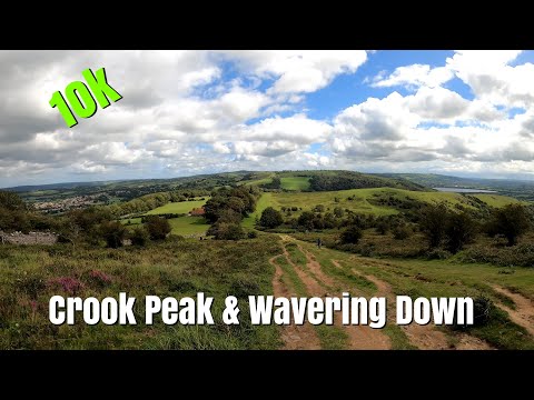
Crook Peak & Wavering Down Run

A 10k circuit on Crook Peak and Wavering Down on the Mendip Hills *village is Compton Bishop not Bishop Compton (2:25)!

Nearby Amenities

Located within 500m of 51.219555,-2.530078
Post Box
Mapillary: 3119188138292597
Operator: Royal Mail
Operator Wikidata: Q638098
Post Box Type: pillar
Survey Date: 2021-08-16
Lat/Long: 51.2233915/-2.5276965
Give Way
Lat/Long: 51.2159751/-2.531288
Give Way
Lat/Long: 51.2158676/-2.531186
Give Way
Lat/Long: 51.2172348/-2.53095
Power: pole
Lat/Long: 51.2155267/-2.5298783
Power: pole
Lat/Long: 51.2156611/-2.5328985
The data included in this document is from www.openstreetmap.org. The data is made available under ODbL.

Have you been to Long Wood?

Leave your review of Long Wood below (or comments, questions and feedback).