Jones's Wood

Wood, Forest in Herefordshire

England

Jones's Wood

Wheatfield near Upper Wolton Wheatfield near Upper Wolton to the north of Much Marcle.
Wheatfield near Upper Wolton Credit: Philip Halling

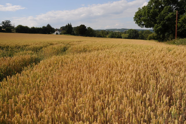
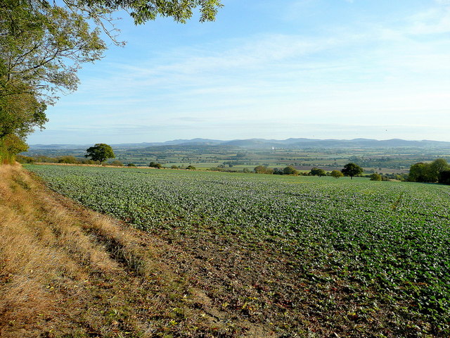
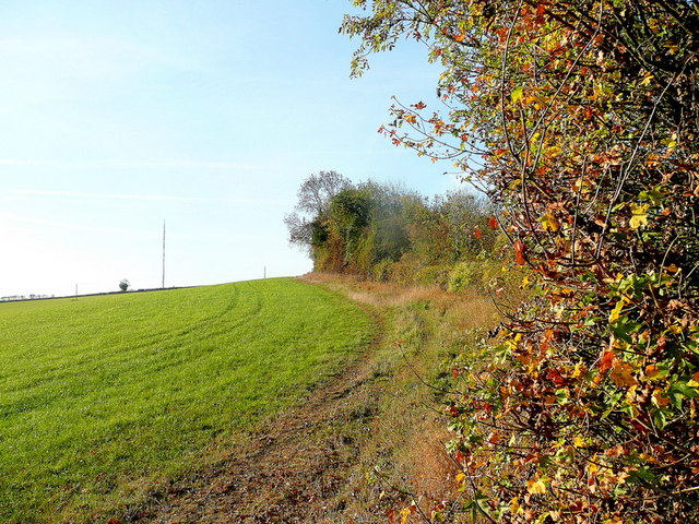
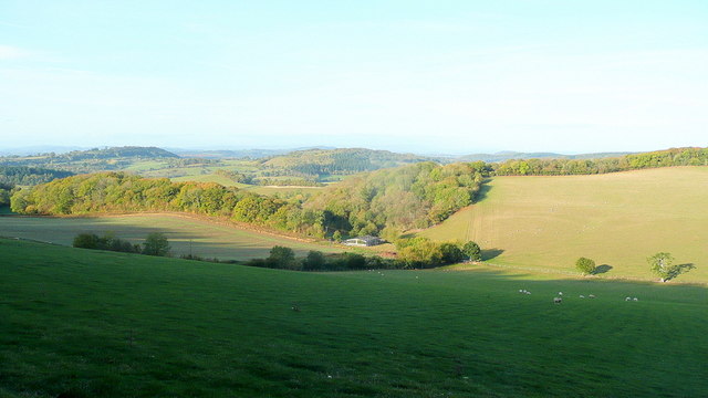
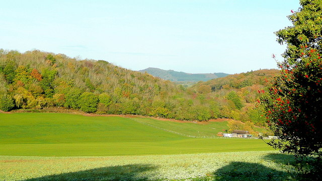
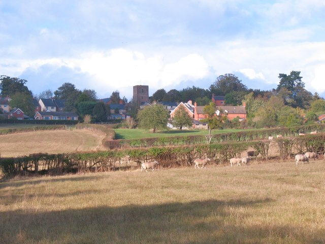
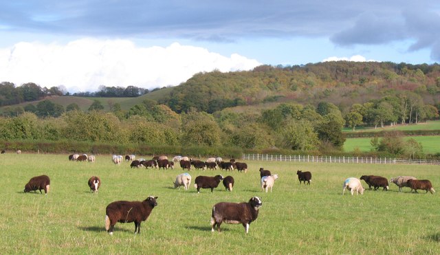
Jones's Wood is a picturesque woodland located in the county of Herefordshire, England. Covering an area of approximately 100 acres, it is a popular destination for nature lovers and outdoor enthusiasts alike. The woodland is known for its diverse flora and fauna, providing a haven for a wide range of wildlife species.

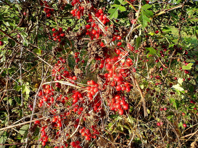
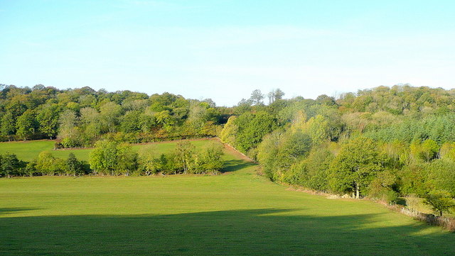
Jones's Wood is predominantly composed of deciduous trees, including oak, beech, and ash, which create a dense canopy overhead. The forest floor is carpeted with an array of wildflowers, such as bluebells and primroses, adding a vibrant splash of color to the surroundings.

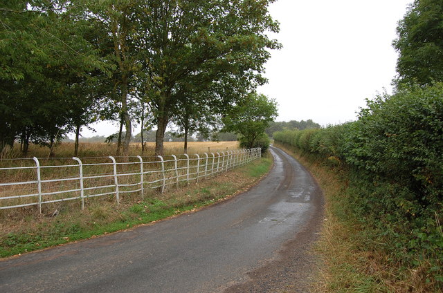
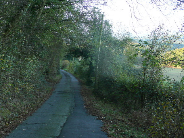
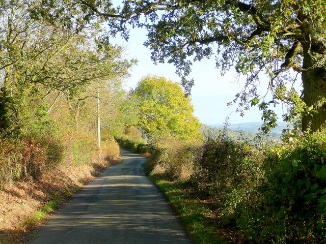
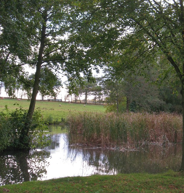
Traversing through the wood is a network of well-maintained footpaths, allowing visitors to explore its beauty at their own pace. The paths meander between towering trees, offering glimpses of sun-dappled glades and babbling brooks. The serene atmosphere makes it an ideal spot for leisurely walks, picnics, and nature photography.

The woodland is also home to a rich variety of wildlife. Birdwatchers can spot a variety of species, including woodpeckers, owls, and songbirds. The undergrowth provides shelter for small mammals like squirrels, rabbits, and hedgehogs. In spring, the woodland comes alive with the cheerful chirping of birds and the rustling of animals awakening from their winter slumber.

Jones's Wood is a cherished natural treasure in Herefordshire, offering a tranquil escape from the hustle and bustle of everyday life. With its stunning scenery and abundant wildlife, it provides a delightful experience for anyone seeking solace in nature.

If you have any feedback on the listing, please let us know in the comments section below.
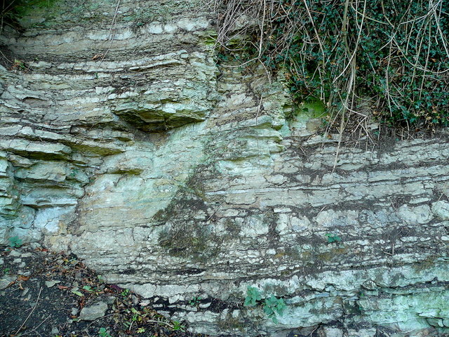
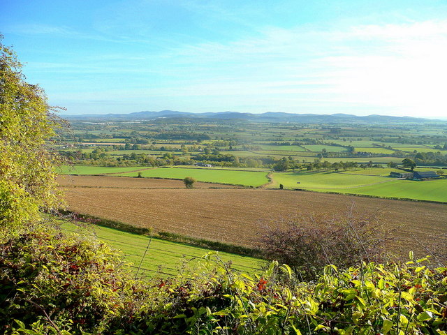
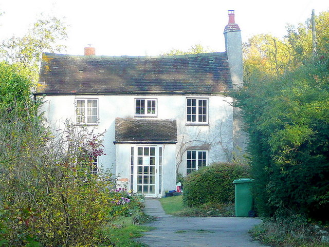
Jones's Wood Images

Images are sourced within 2km of 52.013961/-2.5399289 or Grid Reference SO6335. Thanks to Geograph Open Source API. All images are credited.

Wheatfield near Upper Wolton Wheatfield near Upper Wolton to the north of Much Marcle.
Wheatfield near Upper Wolton
Wheatfield near Upper Wolton to the north of Much Marcle.
Lane towards Woolhope
Croose Farm
Croose Farm
Honeysuckle berries Fruit of Lonicera periclymenum in a hedgerow on Ridge Hill.
Honeysuckle berries
Fruit of Lonicera periclymenum in a hedgerow on Ridge Hill.
View to the Malvern Hills The soft landscape of the Leadon valley lies in between.
View to the Malvern Hills
The soft landscape of the Leadon valley lies in between.
Ridge Hill The two LDF's, Three Choirs Way and Herefordshire Trail, share this elevated field edge.
Ridge Hill
The two LDF's, Three Choirs Way and Herefordshire Trail, share this elevated field edge.
The Woolhope Hills View west towards Hyde Farm from Glowson Wood Road across most of this gridsquare.
The Woolhope Hills
View west towards Hyde Farm from Glowson Wood Road across most of this gridsquare.
Glowson Wood Road A narrow poorly-maintained lane leading down the western side of Ridge Hill.
Glowson Wood Road
A narrow poorly-maintained lane leading down the western side of Ridge Hill.
Sedimentary rocks The wall of an old quarry near the top of Ridge Hill.
Sedimentary rocks
The wall of an old quarry near the top of Ridge Hill.
Ridge Hill Road Heading north towards Hooper's Oak.
Ridge Hill Road
Heading north towards Hooper's Oak.
View over Kynaston The glorious Herefordshire countryside in autumn.
In the distance are the Malvern Hills.
View over Kynaston
The glorious Herefordshire countryside in autumn. In the distance are the Malvern Hills.
Hooper's Oak Cottage Viewed from the public road.
Hooper's Oak Cottage
Viewed from the public road.
Beans Butts Wood Interestingly-named woodland and farmland in the picturesque Woolhope Hills.
Beans Butts Wood
Interestingly-named woodland and farmland in the picturesque Woolhope Hills.
Wooded hills Nurden Wood to the left and Round Hill Wood to the right.
Wooded hills
Nurden Wood to the left and Round Hill Wood to the right.
Approaching Woolhope Nearing the end of a circular walk at the village of Woolhope.
Approaching Woolhope
Nearing the end of a circular walk at the village of Woolhope.
Pond near Woolhope A corner of a pond and wetland area to the south of Woolhope village.
Pond near Woolhope
A corner of a pond and wetland area to the south of Woolhope village.
Sheep pasture at Woolhope Some rather unusually marked sheep at Woolhope. Maybe another contributor can recognise the breed.
It appears that these are a Welsh breed known as Balwen sheep. Thanks to a fellow contributor for the information.
Sheep pasture at Woolhope
Some rather unusually marked sheep at Woolhope. Maybe another contributor can recognise the breed. It appears that these are a Welsh breed known as Balwen sheep. Thanks to a fellow contributor for the information.
The Butcher's Arms public house, Woolhope A proper little country pub with good food, excellent service and good value - it's good to see a pub being run to advantage; the owners, the customers, the village.
The Butcher's Arms public house, Woolhope
A proper little country pub with good food, excellent service and good value - it's good to see a pub being run to advantage; the owners, the customers, the village.
Show me another place!

Jones's Wood is located at Grid Ref: SO6335 (Lat: 52.013961, Lng: -2.5399289)

Unitary Authority: County of Herefordshire

Police Authority: West Mercia

What 3 Words

///strutting.vest.walking. Near Brockhampton, Herefordshire

Nearby Locations

Jones's Wood

Related Wikis

Rushall, Herefordshire

Rushall is a small hamlet in Herefordshire, England. It is approximately halfway between Woolhope and Much Marcle. == Notes == === References ===

Ridge Hill transmitting station

The Ridge Hill transmitting station is a broadcasting and telecommunications facility located 8.5 miles SE of Hereford in Herefordshire, and close to the...

Woolhope

Woolhope is a village and civil parish in the English county of Herefordshire. The population of the civil parish was 486 at the 2011 census. The civil...

Putley

Putley is a village and civil parish 8 miles (13 km) east of Hereford, in the county of Herefordshire, England. In 2011 the parish had a population of...

Nearby Amenities

Located within 500m of 52.013961,-2.5399289
Power: pole
Lat/Long: 52.0184534/-2.5401941
Power: pole
Lat/Long: 52.0183774/-2.538629
The data included in this document is from www.openstreetmap.org. The data is made available under ODbL.

Have you been to Jones's Wood?

Leave your review of Jones's Wood below (or comments, questions and feedback).