Hurst Coppice
Wood, Forest in Shropshire
England
Hurst Coppice

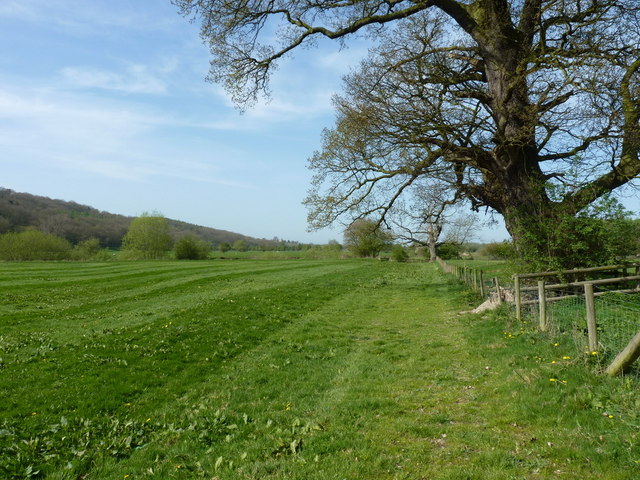
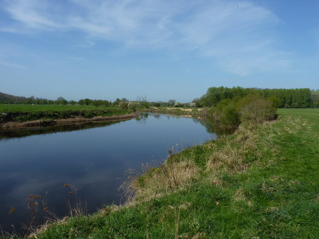
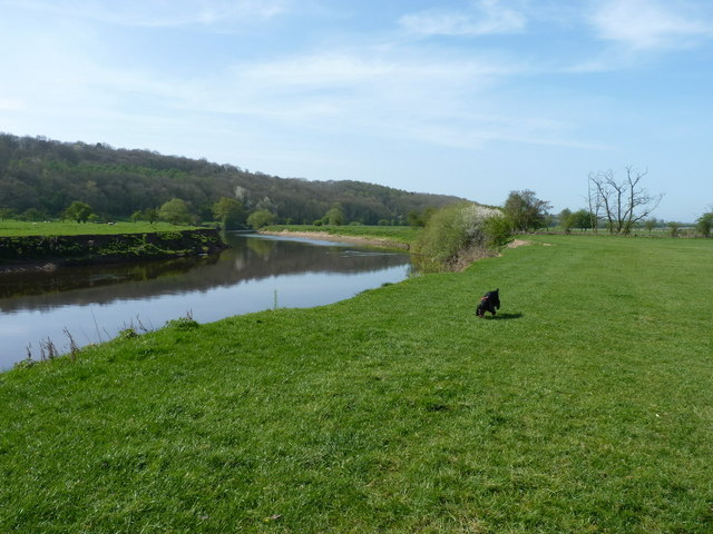
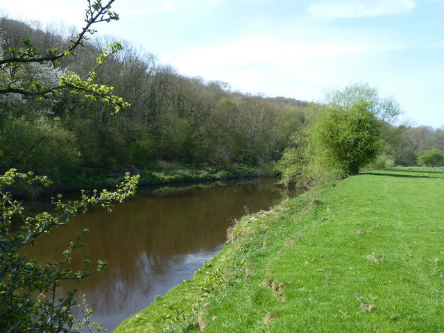
Hurst Coppice is a picturesque woodland area located in Shropshire, England. Stretching over an area of approximately 100 acres, it is known for its natural beauty and diverse ecosystem. The coppice is situated within the wider Hurst Estate, which encompasses a mix of woodland, farmland, and residential areas.
The woodland of Hurst Coppice is primarily composed of broadleaf trees, including oak, beech, and ash. These majestic trees create a dense canopy that provides shade and shelter for a variety of flora and fauna. The forest floor is adorned with a carpet of wildflowers, such as bluebells and primroses, adding bursts of color to the landscape during the spring and summer months.
The coppice has a long history, dating back several centuries. It was traditionally managed for timber production, with trees being selectively cut and regrown to provide a sustainable source of wood. These practices have helped shape the woodland into a diverse habitat, attracting a wide range of wildlife.
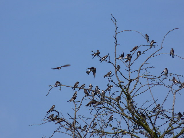
The forest is home to numerous bird species, including woodpeckers, owls, and warblers. Mammals such as deer, foxes, and badgers can also be spotted roaming through the woodland. Additionally, the coppice is a haven for insects, with butterflies, bees, and beetles thriving in its rich biodiversity.
Hurst Coppice offers a tranquil escape for nature enthusiasts and provides ample opportunities for walking, birdwatching, and photography. The wood is easily accessible, with well-maintained paths and trails that meander through the trees, allowing visitors to explore its beauty at their own pace.
If you have any feedback on the listing, please let us know in the comments section below.
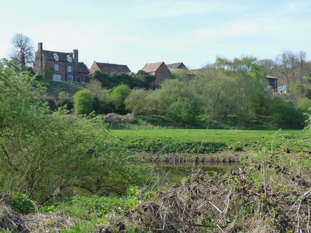
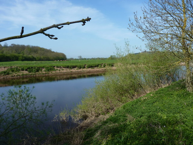
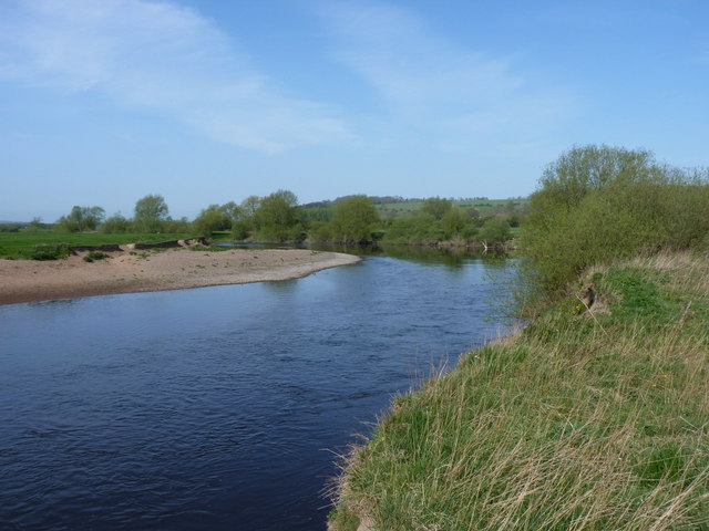
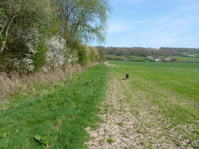
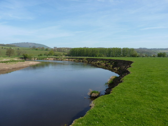
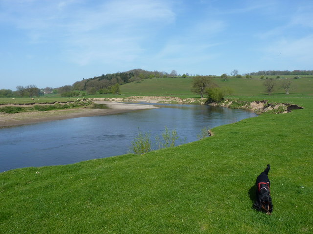
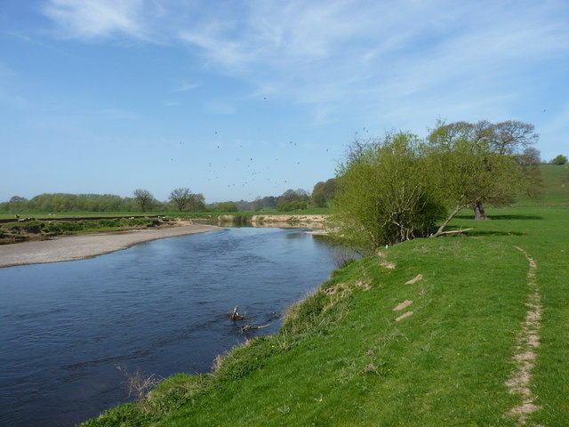
Hurst Coppice Images
Images are sourced within 2km of 52.647927/-2.550028 or Grid Reference SJ6205. Thanks to Geograph Open Source API. All images are credited.

Hurst Coppice is located at Grid Ref: SJ6205 (Lat: 52.647927, Lng: -2.550028)
Unitary Authority: Shropshire
Police Authority: West Mercia
What 3 Words
///coaster.hides.starred. Near Ironbridge, Shropshire
Nearby Locations
Related Wikis

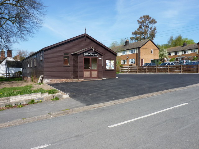
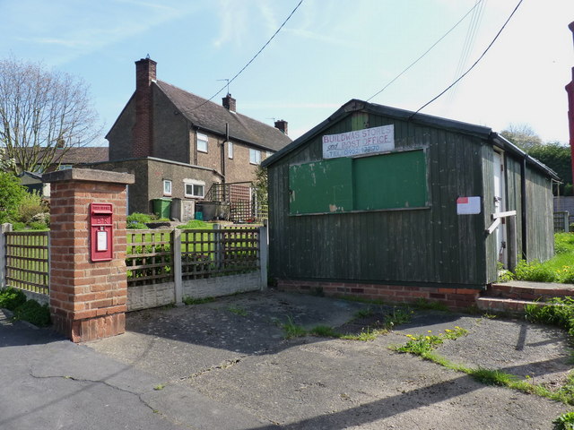
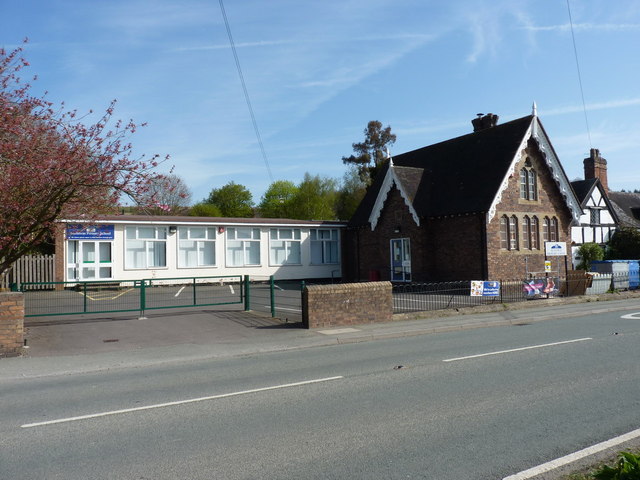
Buildwas
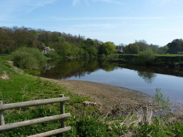
Buildwas is a village and civil parish in Shropshire, England, on the north bank of the River Severn at grid reference SJ641045. It lies on the B4380 road...

Leighton and Eaton Constantine
Leighton and Eaton Constantine is a civil parish in Shropshire, England. It consists of the village of Leighton, together with the smaller villages or...

Buildwas Abbey
Buildwas Abbey was a Cistercian (originally Savigniac) monastery located on the banks of the River Severn, at Buildwas in Shropshire, England - today about...

Little Wenlock
Little Wenlock is a village and civil parish in the Telford and Wrekin borough in Shropshire, England. The population of the civil parish at the 2011 census...
Nearby Amenities
Located within 500m of 52.647927,-2.550028Have you been to Hurst Coppice?
Leave your review of Hurst Coppice below (or comments, questions and feedback).