Brook Wood

Wood, Forest in Lancashire Ribble Valley

England

Brook Wood

Old Boundary Marker on the way to Saddle Fell, Chipping War Department Boundary Marker beside a path from Saddle End Farm to Saddle Fell. Chipping parish. Inscribed W ↑ D / No 34. See also <a title="https://www.geograph.org.uk/photo/2243015" href="https://www.geograph.org.uk/photo/2243015">Link</a>.

Milestone Society National ID: LA_WDCHIP34em
Old Boundary Marker on the way to Saddle Fell, Chipping Credit: S Lister

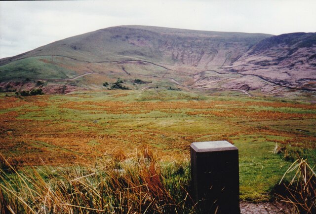
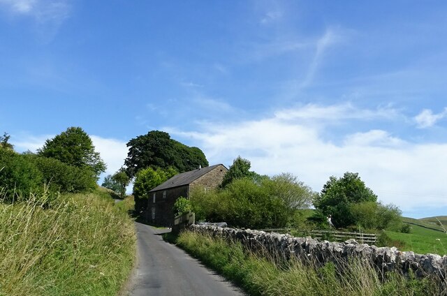
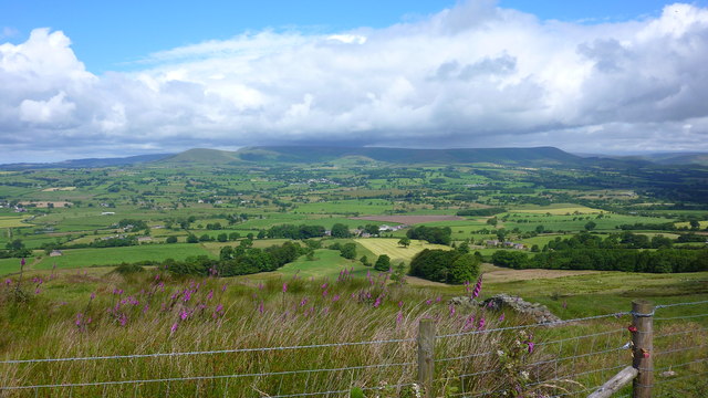
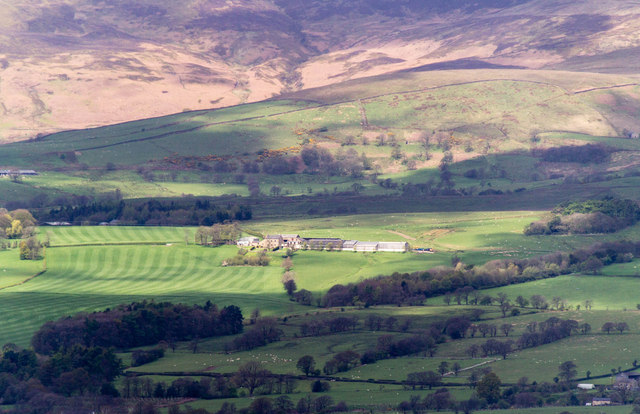
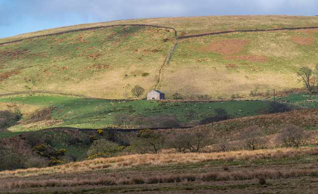
Brook Wood, located in Lancashire, England, is a picturesque woodland area known for its natural beauty and tranquil atmosphere. Situated near the small village of Wood, this forested area covers a significant portion of the surrounding landscape and offers a variety of recreational activities for visitors to enjoy.

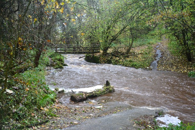
The wood is characterized by its dense canopy of trees, predominantly consisting of oak, birch, and beech, which provide a rich habitat for a diverse range of wildlife. Visitors to the area can expect to encounter numerous species of birds, butterflies, and small mammals while exploring the forest trails.

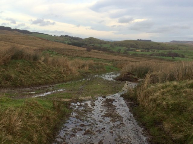
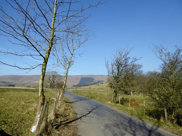
The wood is crisscrossed with well-maintained walking paths, making it an ideal destination for hikers and nature enthusiasts. These trails lead visitors through a tapestry of vibrant flora, including wildflowers and ferns, adding a burst of color to the lush green surroundings.

In addition to its natural beauty, Brook Wood also offers several amenities for visitors' convenience. There are picnic areas and benches strategically placed throughout the wood, providing the perfect spot for a peaceful lunch or a moment of relaxation amidst nature. The wood is also equipped with well-maintained restroom facilities and ample parking for those arriving by car.

Overall, Brook Wood in Lancashire is a delightful destination for nature lovers, offering a serene and enchanting environment to explore and unwind. Whether it's a leisurely stroll through the forest, birdwatching, or simply soaking in the beauty of the surroundings, this woodland paradise is sure to leave a lasting impression on all who visit.

If you have any feedback on the listing, please let us know in the comments section below.

Brook Wood Images

Images are sourced within 2km of 53.903503/-2.5687533 or Grid Reference SD6245. Thanks to Geograph Open Source API. All images are credited.

Old Boundary Marker on the way to Saddle Fell, Chipping War Department Boundary Marker beside a path from Saddle End Farm to Saddle Fell. Chipping parish. Inscribed W ↑ D / No 34. See also <a title="https://www.geograph.org.uk/photo/2243015" href="https://www.geograph.org.uk/photo/2243015">Link</a>.

Milestone Society National ID: LA_WDCHIP34em
Old Boundary Marker on the way to Saddle Fell, Chipping
War Department Boundary Marker beside a path from Saddle End Farm to Saddle Fell. Chipping parish. Inscribed W ↑ D / No 34. See also Link. Milestone Society National ID: LA_WDCHIP34em
Leagram Mill Free range hens search for food around the farmyard.
Leagram Mill
Free range hens search for food around the farmyard.
Country lane near Leagram Despite the drier than usual summer weather the fields in Lancashire remain lush and green.
Country lane near Leagram
Despite the drier than usual summer weather the fields in Lancashire remain lush and green.
Bin day at Fords On the road to Dunsop Bridge.
Bin day at Fords
On the road to Dunsop Bridge.
Knot End farmhouse Nice weather for a spot of gardening.
Knot End farmhouse
Nice weather for a spot of gardening.
From Longridge Fell to Chipping and Fells Beyond
Laund Farm Laund Farm at Chipping Lawn seen from Longridge Fell.
Laund Farm
Laund Farm at Chipping Lawn seen from Longridge Fell.
Ward's End Barn at Ward's End.
Ward's End
Barn at Ward's End.
Ford at Lower Greystoneley This ford on the Greystoneley Brook at Lower Greystoneley is shown here after heavy rain.
<span class="nowrap"><a title="https://youtu.be/NdYZhlnb7x4" rel="nofollow ugc noopener" href="https://youtu.be/NdYZhlnb7x4">Link</a><img style="margin-left:2px;" alt="External link" title="External link - shift click to open in new window" src="https://s1.geograph.org.uk/img/external.png" width="10" height="10"/></span>
Ford at Lower Greystoneley
This ford on the Greystoneley Brook at Lower Greystoneley is shown here after heavy rain. LinkExternal link
Junction of tracks
Junction of tracks
The road from Chipping to Dunsop Bridge At Higher Greystoneley.
The road from Chipping to Dunsop Bridge
At Higher Greystoneley.
Lane at Leagram Mill The track leads to farms and Knot Hill.
Lane at Leagram Mill
The track leads to farms and Knot Hill.
Pasture land On the Leagram Estate near Chipping. Some of the sheep are lifting their heads to the sun.
Pasture land
On the Leagram Estate near Chipping. Some of the sheep are lifting their heads to the sun.
Knot Barn A barn converted to a house at the foot of Knot Hill.
Knot Barn
A barn converted to a house at the foot of Knot Hill.
From inside a limekiln The limekiln on Knot Hill was built in the early 19th century, and was last used in the 1920s. Limestone from an adjacent quarry on Knot Hill was baked in the kiln to produce quicklime which was used as a fertiliser, and also to whitewash farm buildings.
From inside a limekiln
The limekiln on Knot Hill was built in the early 19th century, and was last used in the 1920s. Limestone from an adjacent quarry on Knot Hill was baked in the kiln to produce quicklime which was used as a fertiliser, and also to whitewash farm buildings.
Limekiln at Knot Hill The limekiln on Knot Hill was built in the early 19th century, and was last used in the 1920s. Limestone from an adjacent quarry on Knot Hill was baked in the kiln to produce quicklime which was used as a fertiliser, and also to whitewash farm buildings.
Limekiln at Knot Hill
The limekiln on Knot Hill was built in the early 19th century, and was last used in the 1920s. Limestone from an adjacent quarry on Knot Hill was baked in the kiln to produce quicklime which was used as a fertiliser, and also to whitewash farm buildings.
Knot Hill The hill was extensively quarried on the other side to provide limestone for an adjacent limekiln.
Knot Hill
The hill was extensively quarried on the other side to provide limestone for an adjacent limekiln.
Leafy glade at Leagram Brook On the Leagram Estate.
Leafy glade at Leagram Brook
On the Leagram Estate.
Show me another place!

Brook Wood is located at Grid Ref: SD6245 (Lat: 53.903503, Lng: -2.5687533)

Administrative County: Lancashire

District: Ribble Valley

Police Authority: Lancashire

What 3 Words

///inform.hands.access. Near Longridge, Lancashire

Nearby Locations

Salter Hill Brook Wood

Related Wikis

Bowland-with-Leagram

Bowland-with-Leagram is a civil parish in the Ribble Valley district of Lancashire, England, covering part of the Forest of Bowland. According to the census...

Kirk Mill

Kirk Mill is an early example of an Arkwright-type cotton mill and a grade II listed building in Chipping, Lancashire, in Ribble Valley, to the north of...

Chipping, Lancashire

Chipping is a village and civil parish in the borough of Ribble Valley, Lancashire, England, within the Forest of Bowland Area of Outstanding Natural Beauty...

St Bartholomew's Church, Chipping

St Bartholomew's Church is in the village of Chipping, Lancashire, England. It is an active Anglican parish church in the deanery of Whalley, the archdeaconry...

Have you been to Brook Wood?

Leave your review of Brook Wood below (or comments, questions and feedback).