Barelow Coppice
Wood, Forest in Herefordshire
England
Barelow Coppice
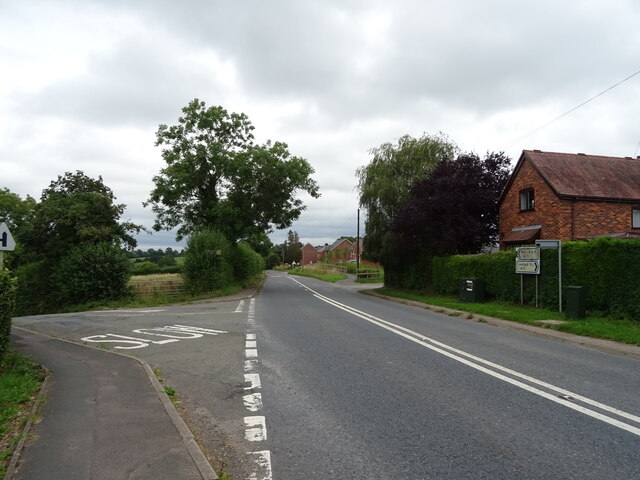
Barelow Coppice is a picturesque woodland located in the county of Herefordshire, England. Covering an area of approximately 100 acres, it is a magnificent example of a mixed broadleaf forest. The coppice consists of a variety of tree species, including oak, ash, beech, and birch, which create a diverse and vibrant ecosystem.
The woodland is home to a wide range of flora and fauna, making it an ideal spot for nature enthusiasts and wildlife observers. Bluebells, primroses, and wood anemones carpet the forest floor during spring, creating a colorful and enchanting scene. The trees provide nesting sites for numerous bird species, such as woodpeckers, owls, and song thrushes. Squirrels can be spotted darting through the branches, while deer occasionally graze in the clearings.
Barelow Coppice is also a popular destination for walkers and hikers, offering a network of well-maintained trails that wind through the forest. These paths allow visitors to explore the woodland at their leisure, providing opportunities for both leisurely strolls and more challenging hikes.
The management of Barelow Coppice is focused on sustainability and conservation. Regular coppicing, a traditional woodland management technique, is employed to maintain a healthy and diverse ecosystem. This process involves cutting certain trees to ground level, promoting the growth of new shoots and providing habitats for a range of woodland species.
Overall, Barelow Coppice is a haven of natural beauty and tranquility, offering visitors the chance to immerse themselves in a thriving woodland environment. Whether it is for leisurely walks, wildlife spotting, or simply enjoying the serenity of nature, this wood in Herefordshire provides a captivating experience for all who venture within its boundaries.
If you have any feedback on the listing, please let us know in the comments section below.
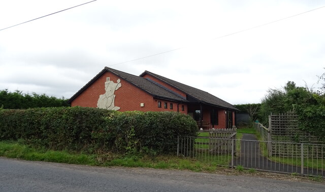
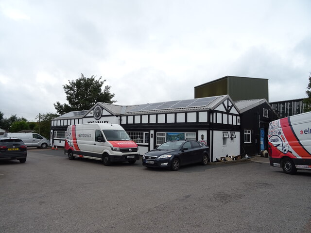
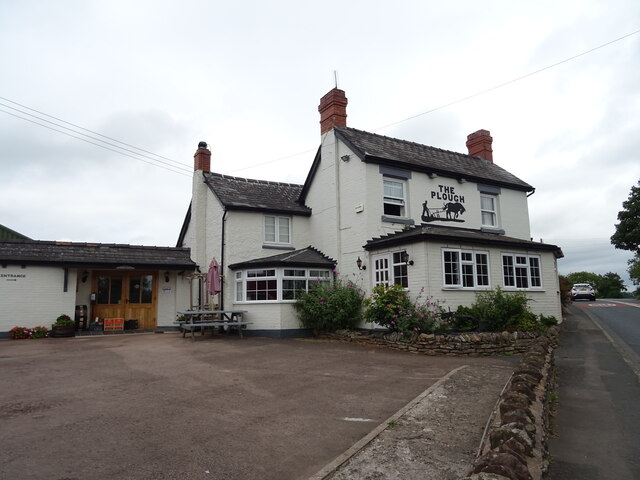
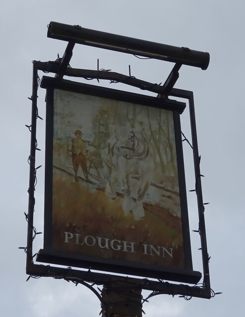
Barelow Coppice Images
Images are sourced within 2km of 52.14581/-2.5493851 or Grid Reference SO6249. Thanks to Geograph Open Source API. All images are credited.


Barelow Coppice is located at Grid Ref: SO6249 (Lat: 52.14581, Lng: -2.5493851)
Unitary Authority: County of Herefordshire
Police Authority: West Mercia
What 3 Words
///voice.prayers.octagonal. Near Moreton Jeffries, Herefordshire
Nearby Locations
Related Wikis

Stoke Lacy
Stoke Lacy is a small village and civil parish in the English county of Herefordshire. Stoke Lacy lies on the main A465 road that connects Hereford and...
Little Cowarne
Little Cowarne is a village and civil parish in the county of Herefordshire, England, and is 9 miles (14 km) north-east from the city and county town of...
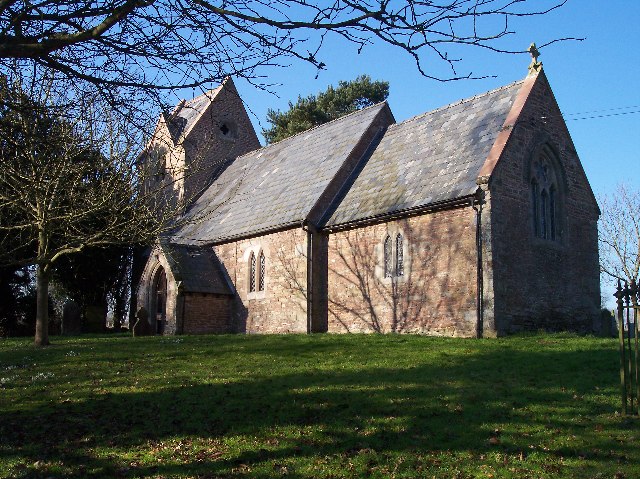
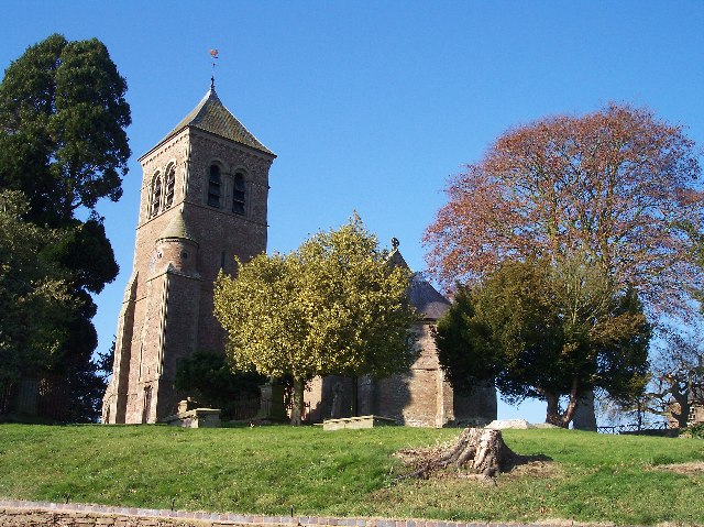
Moreton Jeffries Church
Moreton Jeffries Church is a redundant Anglican church in the hamlet of Moreton Jeffries, some 9 miles (14 km) northeast of Hereford, Herefordshire, England...

Moreton Jeffries
Moreton Jeffries (or Moreton Jefferies) is a hamlet in the English county of Herefordshire. It is situated off the A465 between Stoke Lacy and Burley Gate...
Much Cowarne
Much Cowarne is a village and civil parish in the English county of Herefordshire, located off the A417 about 16 miles from Hereford and 10 miles from...
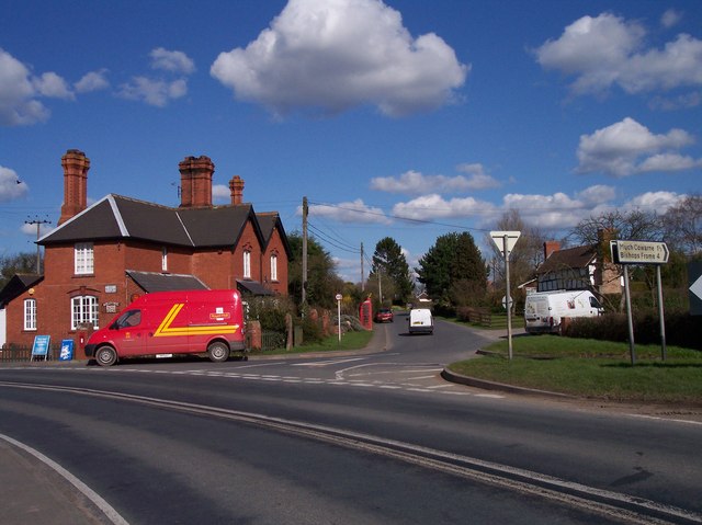
Burley Gate
Burley Gate is a hamlet in Herefordshire, England. It is north-east from the junction between the A465 road and the A417 road. The hamlet is divided between...
Ullingswick
Ullingswick is a small village in Herefordshire, England located about 6 miles (9.7 km) south west of Bromyard, 9 miles (14 km) north east of Hereford...
Pencombe
Pencombe is a village and former civil parish, now in the parish of Pencombe with Grendon Warren, in Herefordshire, England. The village is 3.5 miles...
Nearby Amenities
Located within 500m of 52.14581,-2.5493851Have you been to Barelow Coppice?
Leave your review of Barelow Coppice below (or comments, questions and feedback).