Piner's Coppice
Wood, Forest in Shropshire
England
Piner's Coppice
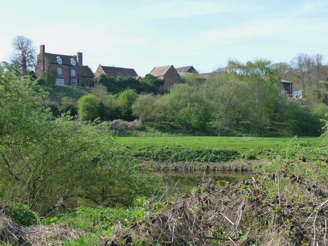
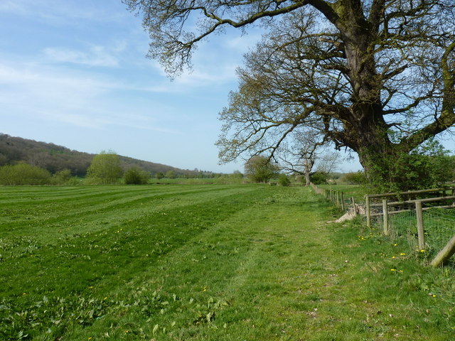
Piner's Coppice is a picturesque woodland located in the county of Shropshire, England. Situated near the village of Stiperstones, this ancient woodland covers an area of approximately 20 hectares. The coppice is owned and managed by the Forestry Commission, which ensures its preservation and conservation for the enjoyment of visitors.
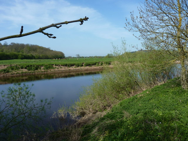
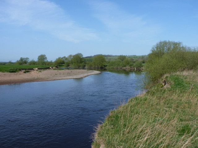
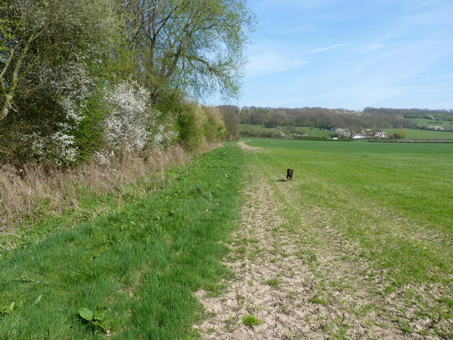
The woodland is primarily composed of mixed deciduous trees, including oak, beech, birch, and ash. These tall, majestic trees create a dense canopy that provides shade and shelter for a diverse range of flora and fauna. The forest floor is covered in a thick layer of leaf litter, creating a rich habitat for a variety of woodland plants and fungi.
Piner's Coppice is renowned for its tranquil atmosphere and natural beauty. Walking along the well-maintained paths, visitors can immerse themselves in the peaceful surroundings, listening to the sounds of birds singing and leaves rustling in the breeze. The woodland is home to a plethora of wildlife, including deer, badgers, foxes, and numerous bird species, making it a haven for nature enthusiasts and photographers.
In addition to its natural beauty, Piner's Coppice holds historical significance. The woodland has been managed as a coppice for centuries, providing a sustainable source of timber for local communities. Today, the remnants of ancient coppice boundaries can still be seen within the woodland, serving as a reminder of its past.
Overall, Piner's Coppice offers visitors a chance to escape the hustle and bustle of modern life and reconnect with nature. Whether it's a leisurely stroll, a picnic in the shade, or simply enjoying the tranquility, this enchanting woodland provides a truly immersive and rewarding experience for all who visit.
If you have any feedback on the listing, please let us know in the comments section below.
Piner's Coppice Images
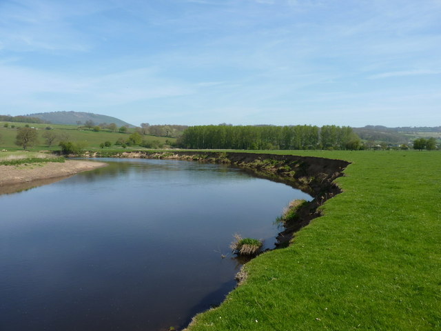
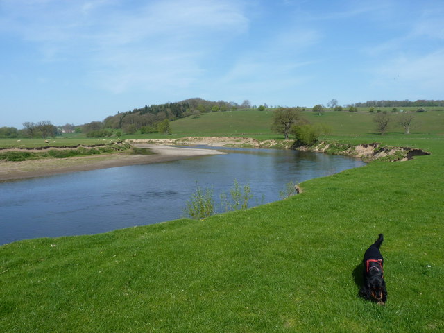
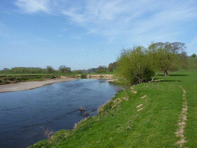
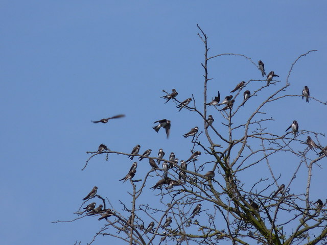
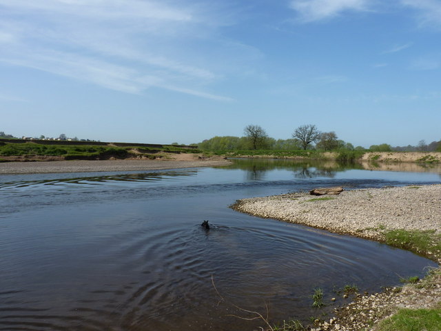
Images are sourced within 2km of 52.632212/-2.5579572 or Grid Reference SJ6203. Thanks to Geograph Open Source API. All images are credited.

Piner's Coppice is located at Grid Ref: SJ6203 (Lat: 52.632212, Lng: -2.5579572)
Unitary Authority: Shropshire
Police Authority: West Mercia
What 3 Words
///dispensed.records.economics. Near Much Wenlock, Shropshire
Nearby Locations
Related Wikis

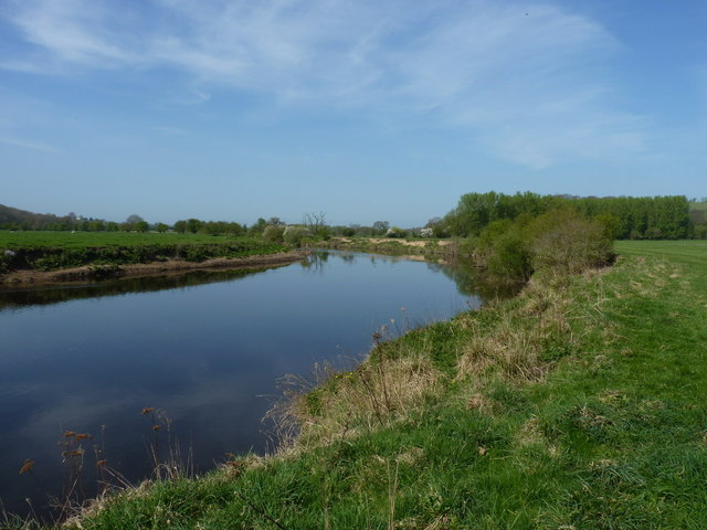
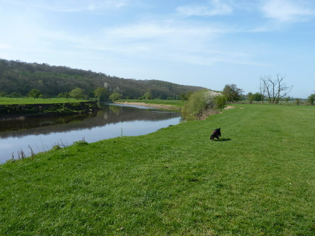
Sheinton
Sheinton is a small rural village and civil parish just outside Telford, and within Shropshire.It is situated on the south bank of the River Severn opposite...

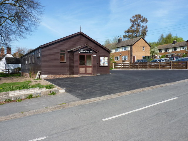
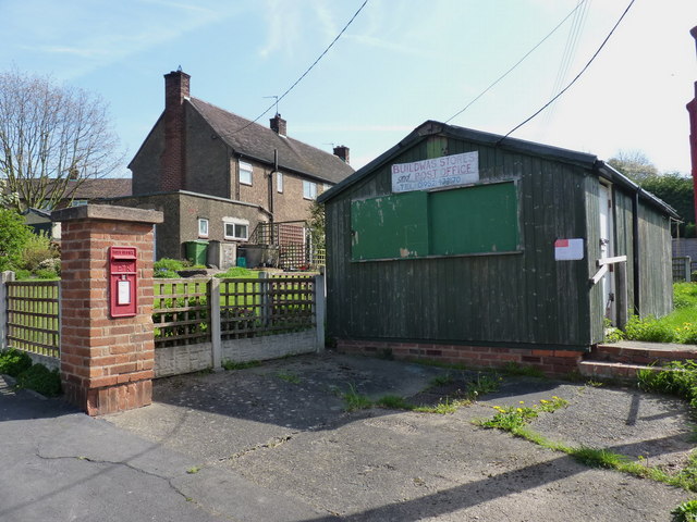
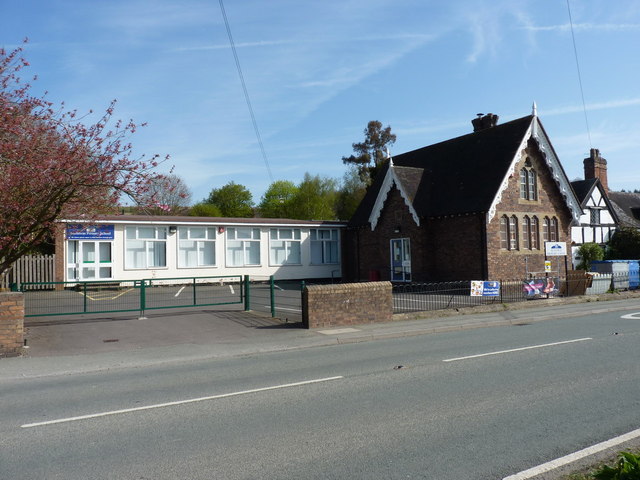
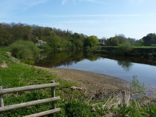
Buildwas
Buildwas is a village and civil parish in Shropshire, England, on the north bank of the River Severn at grid reference SJ641045. It lies on the B4380 road...

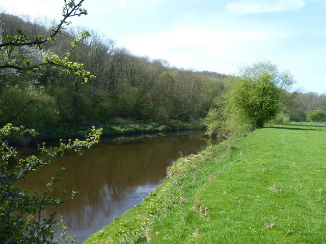
Buildwas Abbey
Buildwas Abbey was a Cistercian (originally Savigniac) monastery located on the banks of the River Severn, at Buildwas in Shropshire, England - today about...

Leighton and Eaton Constantine
Leighton and Eaton Constantine is a civil parish in Shropshire, England. It consists of the village of Leighton, together with the smaller villages or...
Nearby Amenities
Located within 500m of 52.632212,-2.5579572Have you been to Piner's Coppice?
Leave your review of Piner's Coppice below (or comments, questions and feedback).