Knacker's Hole Grove

Wood, Forest in Herefordshire

England

Knacker's Hole Grove

Wheat field near Great Howle Farm A fine distant view to the Black Mountains.
Wheat field near Great Howle Farm Credit: Jonathan Billinger

Knacker's Hole Grove is a picturesque woodland located in Herefordshire, England. This enchanting forest covers an area of approximately 50 acres and is a popular destination for nature enthusiasts, hikers, and photographers.

The grove is characterized by its dense canopy of towering oak, beech, and ash trees, which provide a tranquil and shaded environment. The forest floor is adorned with a diverse array of flora, including bluebells, wild garlic, and ferns, creating a vibrant and magical atmosphere. The presence of a meandering stream adds to the charm of the grove, providing a soothing soundtrack and creating a habitat for various wildlife species.

Visitors to Knacker's Hole Grove can explore the numerous walking trails that wind through the woodland, offering opportunities to observe the local wildlife, such as deer, squirrels, and a variety of bird species. The grove is also home to a richly diverse insect population, with butterflies and dragonflies often spotted during the warmer months.

The grove's location on the outskirts of Herefordshire provides stunning panoramic views of the surrounding countryside. In autumn, the woodland transforms into a kaleidoscope of colors as the leaves change, making it a popular destination for leaf-peeping enthusiasts.

Knacker's Hole Grove is a well-maintained and accessible woodland, with designated picnic areas and benches for visitors to relax and enjoy the natural beauty. It offers a peaceful retreat from the hustle and bustle of everyday life, providing a haven for those seeking solace in nature.

If you have any feedback on the listing, please let us know in the comments section below.

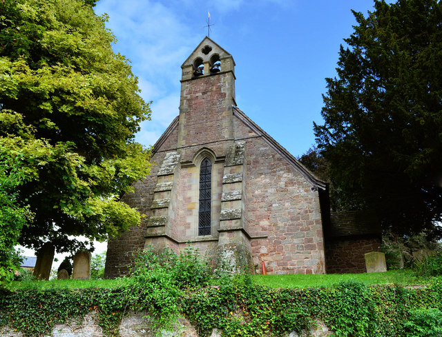
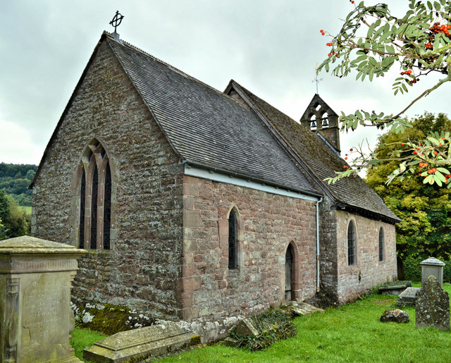
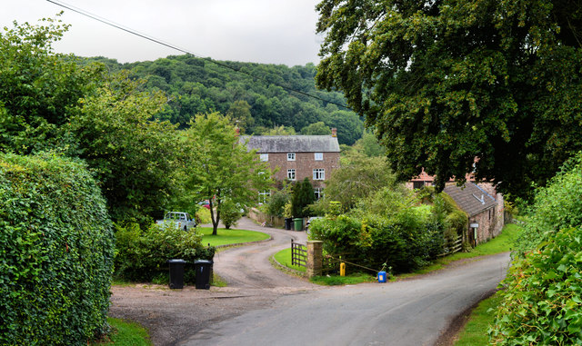
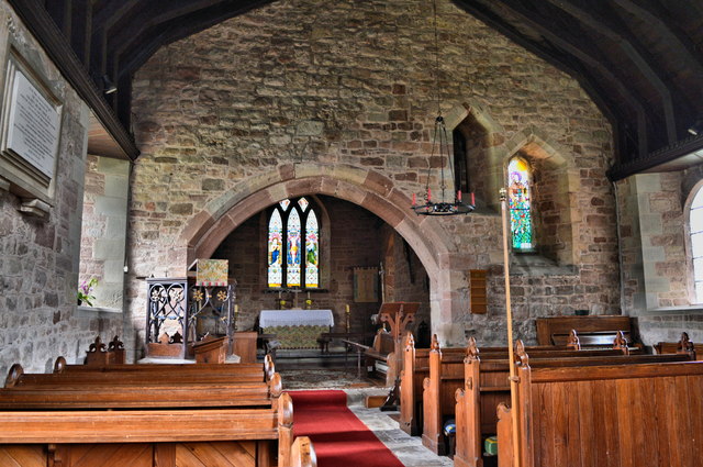
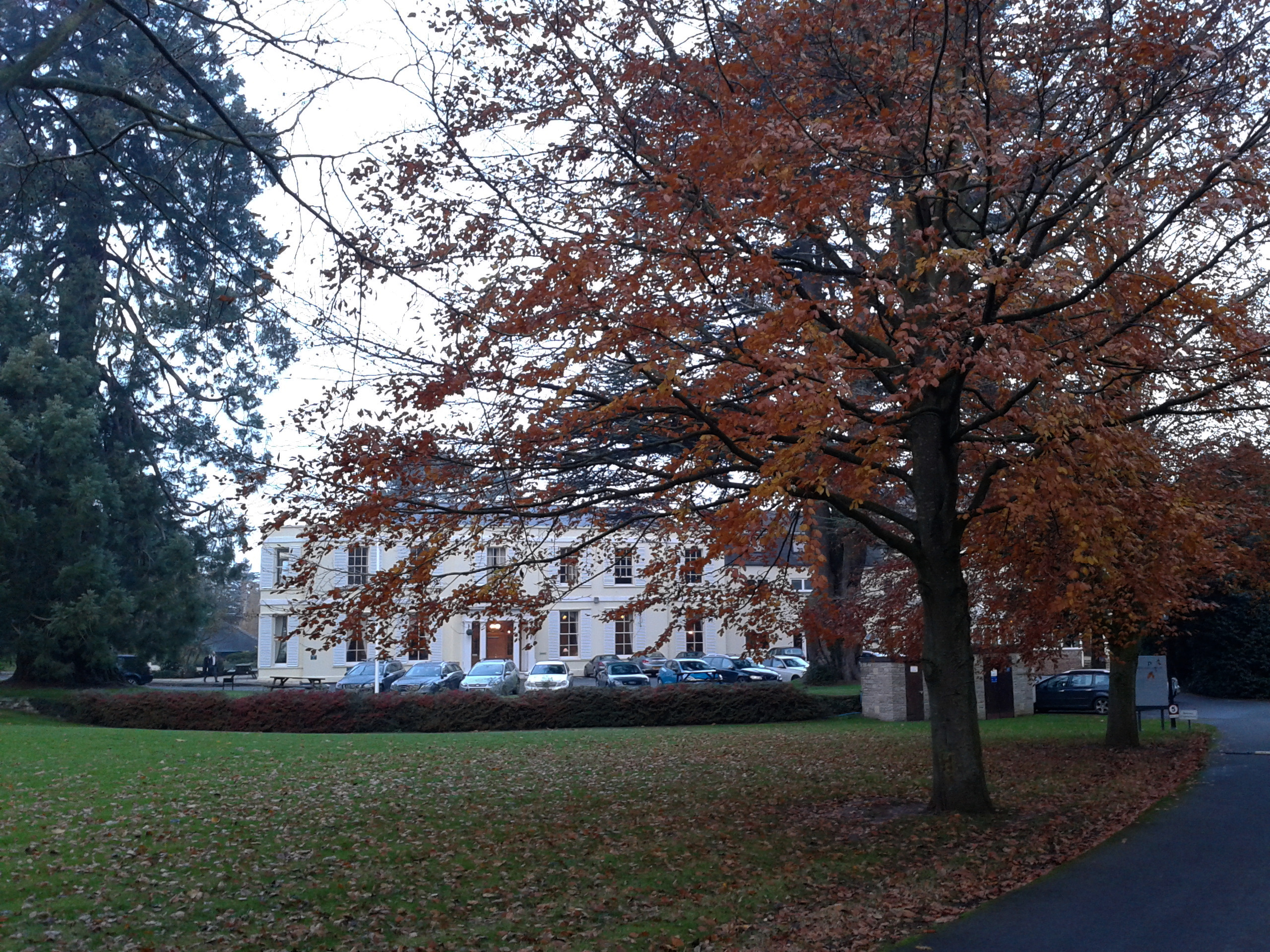
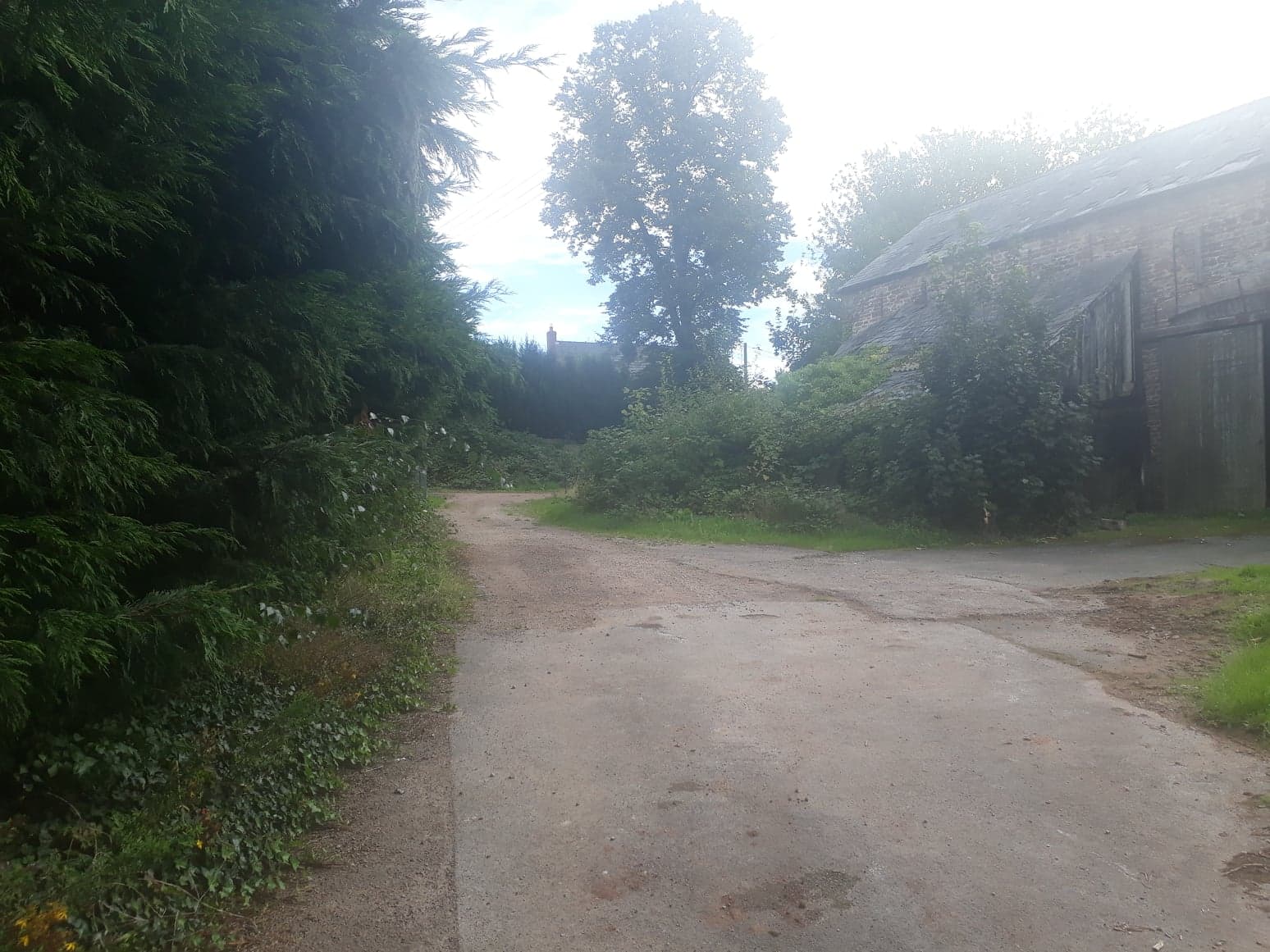
Knacker's Hole Grove Images

Images are sourced within 2km of 51.88958/-2.5499155 or Grid Reference SO6221. Thanks to Geograph Open Source API. All images are credited.

Wheat field near Great Howle Farm A fine distant view to the Black Mountains.
Wheat field near Great Howle Farm
A fine distant view to the Black Mountains.
St Michael, Hope Mansell The West end, the work of Nicholson & Son of 1889.
St Michael, Hope Mansell
The West end, the work of Nicholson & Son of 1889.
St Michael, Hope Mansell Charming small church set high above the lane.
St Michael, Hope Mansell
Charming small church set high above the lane.
St Michael, Hope Mansell The chancel, with a typical Herefordshire 13th century East window.
St Michael, Hope Mansell
The chancel, with a typical Herefordshire 13th century East window.
St Michael, Hope Mansell Charming small church high up on the fringes of the Forest of Dean. Restored but not ruined by Nicholson in 1889.
St Michael, Hope Mansell
Charming small church high up on the fringes of the Forest of Dean. Restored but not ruined by Nicholson in 1889.
The Orchard, Hope Mansell Handsome house opposite the church with the Forest as a backdrop.
The Orchard, Hope Mansell
Handsome house opposite the church with the Forest as a backdrop.
Moat Farm, Hope Mansell Seen from the churchyard.
Moat Farm, Hope Mansell
Seen from the churchyard.
St Michael, Hope Mansell The interior, looking East.
St Michael, Hope Mansell
The interior, looking East.
St Michael, Hope Mansell The plain 13th century font.
St Michael, Hope Mansell
The plain 13th century font.
St Michael, Hope Mansell The church was 'restored' by Nicholson & Son in 1889 and the wrought iron pulpit dates from this work, as does the reading desk.
St Michael, Hope Mansell
The church was 'restored' by Nicholson & Son in 1889 and the wrought iron pulpit dates from this work, as does the reading desk.
St Michael, Hope Mansell Looking up into the chancel.
St Michael, Hope Mansell
Looking up into the chancel.
St Michael, Hope Mansell Memorial window at the East of the nave by Geoffrey Robinson, dating from 1980.
St Michael, Hope Mansell
Memorial window at the East of the nave by Geoffrey Robinson, dating from 1980.
St Michael, Hope Mansell The East end, with a window by the unknown W.G.Rich of Hammersmith, 1891.
St Michael, Hope Mansell
The East end, with a window by the unknown W.G.Rich of Hammersmith, 1891.
St Michael, Hope Mansell A window in the chancel by William Morris (Westminster) Ltd of 1937.
St Michael, Hope Mansell
A window in the chancel by William Morris (Westminster) Ltd of 1937.
St Michael, Hope Mansell The East window, by the little known W.G. Rich of Hammersmith, dating from 1891.
St Michael, Hope Mansell
The East window, by the little known W.G. Rich of Hammersmith, dating from 1891.
View from Star Beech Hill, 2 The western edge of Purlieu Wood can be seen.
View from Star Beech Hill, 2
The western edge of Purlieu Wood can be seen.
Hope Mansell The tree on the right which appears to be dying is in the churchyard
Hope Mansell
The tree on the right which appears to be dying is in the churchyard
Village Hall (former school), Hope Mansell
Show me another place!

Knacker's Hole Grove is located at Grid Ref: SO6221 (Lat: 51.88958, Lng: -2.5499155)

Unitary Authority: County of Herefordshire

Police Authority: West Mercia

What 3 Words

///month.shortage.waltzed. Near Ross on Wye, Herefordshire

Nearby Locations

Knacker's Hole Grove

Related Wikis

Hope Mansell

Hope Mansell is a village and civil parish in Herefordshire, England. In 2011 the civil parish had a population of 259. Hope Mansell is mentioned in the...

Weston under Penyard

Weston under Penyard is a small village in Herefordshire, England. The population of the civil parish at the 2011 Census was 1,007.It lies on the A40 road...

Penyard House, Ross-on-Wye

Penyard House, Weston under Penyard near Ross-on-Wye is a building of historical significance. It appears to have been built in about 1821 by a wealthy...

Weston under Penyard Halt railway station

Weston under Penyard Halt railway station is a disused wood built railway station that served the village of Weston under Penyard in Herefordshire on the...

Nearby Amenities

Located within 500m of 51.88958,-2.5499155
Bus Stop
Parkfields
Naptan AtcoCode: 2090A124300
Naptan Bearing: N
Naptan BusStopType: CUS
Naptan CommonName: Parkfields
Naptan Indicator: adj
Naptan Landmark: N/K
Naptan NaptanCode: heradwag
Naptan Street: N/K
Naptan Verified: no
Source: naptan_import
Lat/Long: 51.8918879/-2.5455591
Bus Stop
Parkfields
Naptan AtcoCode: 2090A19047
Naptan Bearing: S
Naptan BusStopType: CUS
Naptan CommonName: Parkfields
Naptan Indicator: opp
Naptan Landmark: N/K
Naptan NaptanCode: herajpat
Naptan Street: N/K
Naptan Verified: no
Source: naptan_import
Lat/Long: 51.8917628/-2.5453832
Power: tower
Source: Bing
Lat/Long: 51.8920627/-2.5555082
Power: tower
Source: Bing
Lat/Long: 51.8907027/-2.5448862
Power: tower
Source: Bing
Lat/Long: 51.8915568/-2.5515195
Power: tower
Source: Bing
Lat/Long: 51.8911488/-2.5482756
Bill Mills
Place: hamlet
Lat/Long: 51.8923582/-2.5448531
Barrier: stile
Lat/Long: 51.8871049/-2.5481626
The data included in this document is from www.openstreetmap.org. The data is made available under ODbL.

Have you been to Knacker's Hole Grove?

Leave your review of Knacker's Hole Grove below (or comments, questions and feedback).