Cordwell

Settlement in Norfolk South Norfolk

England

Cordwell

Gilderswood Lane, west from Forncett St Peter Some maps omit the 'Lane', but it is included on its nameplate at the east end.
Gilderswood Lane, west from Forncett St Peter Credit: Robin Webster

Cordwell is a small village located in the county of Norfolk, England. Situated near the town of Thetford, Cordwell is known for its picturesque countryside and charming rural atmosphere. The village is surrounded by rolling hills, lush green fields, and dense woodlands, making it a popular destination for outdoor enthusiasts and nature lovers.

Cordwell is home to a tight-knit community of residents who take pride in their village and its rich history. The village features a mix of traditional cottages, modern houses, and historic buildings, including a church that dates back to the medieval period. There are also a few small businesses in the village, such as a local pub and a small convenience store.

Visitors to Cordwell can enjoy exploring the surrounding countryside on foot or by bike, taking in the stunning views and peaceful surroundings. The village also offers easy access to nearby attractions, such as Thetford Forest and the Norfolk Broads, making it a great base for exploring the wider region. Overall, Cordwell is a tranquil and idyllic village that offers a true taste of rural Norfolk life.

If you have any feedback on the listing, please let us know in the comments section below.

Cordwell Images

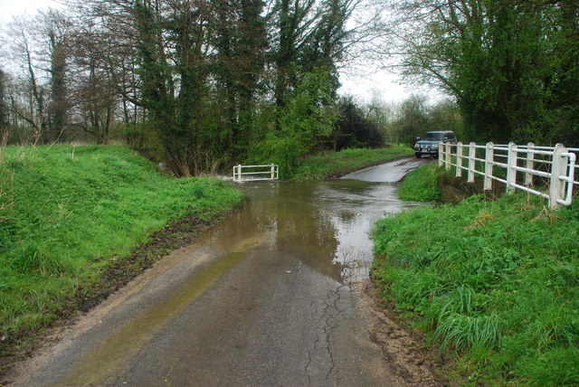
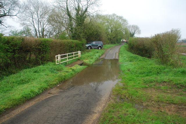
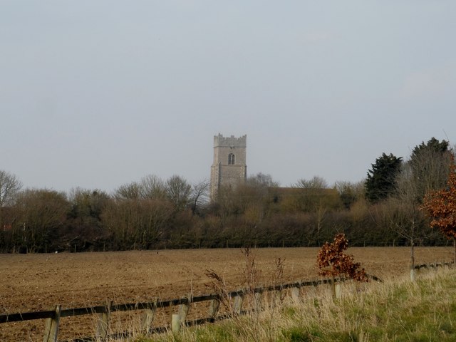
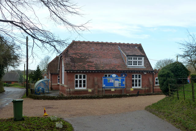
Images are sourced within 2km of 52.494453/1.142184 or Grid Reference TM1393. Thanks to Geograph Open Source API. All images are credited.

Gilderswood Lane, west from Forncett St Peter Some maps omit the 'Lane', but it is included on its nameplate at the east end.
Gilderswood Lane, west from Forncett St Peter
Some maps omit the 'Lane', but it is included on its nameplate at the east end.
Gilderswood Lane, west from Forncett St Peter Some maps omit the 'Lane', but it is included on its nameplate at the east end.
Gilderswood Lane, west from Forncett St Peter
Some maps omit the 'Lane', but it is included on its nameplate at the east end.
Low Common Lane Towards Bunwell Hill.
Low Common Lane
Towards Bunwell Hill.
Bunwell Hill The name of the road as well as the settlement.
Bunwell Hill
The name of the road as well as the settlement.
Gower's Farm Ford This ford on the River Tas is found on Hall Road on the way to Bunwell Hill. The ford is in flood following heavy April rain.
Gower's Farm Ford
This ford on the River Tas is found on Hall Road on the way to Bunwell Hill. The ford is in flood following heavy April rain.
Ford at Brock's Watering This ford is found on the Forncett Road just south of Brock's Watering.
Ford at Brock's Watering
This ford is found on the Forncett Road just south of Brock's Watering.
Bunwell Ford This ford is found on Barham's Lane just south of Bunwell.
Bunwell Ford
This ford is found on Barham's Lane just south of Bunwell.
Church of St Michael and All Angels, Bunwell
The Jolly Farmers pub Looks like it is made out of lego.
The Jolly Farmers pub
Looks like it is made out of lego.
Bungalows on Norwich Road, Tacolneston
Bunwell Primary School A plaque on the wall commemorates the school centenary: 1879 - 1979.
Bunwell Primary School
A plaque on the wall commemorates the school centenary: 1879 - 1979.
Footpath off Cheney's Lane
Cheney's Lane past St Mary's Farm
St Mary's Farm
St Mary's Farm
Pond by St Mary's Cottage
Cheney's Lane past pond by St Mary's Cottage
Flowering shrubs beside Cheney's Lane
Show me another place!

Cordwell is located at Grid Ref: TM1393 (Lat: 52.494453, Lng: 1.142184)

Administrative County: Norfolk

District: South Norfolk

Police Authority: Norfolk

What 3 Words

///inflates.cursing.poet. Near Long Stratton, Norfolk

Nearby Locations

Cordwell

Related Wikis

Bunwell

Bunwell is a parish (population 1024) situated in the county of Norfolk, England, approximately 7 miles south-east of Attleborough. The parish includes...

Tacolneston

Tacolneston () is a village and civil parish in the South Norfolk District of Norfolk with a population of around 700, measured at the 2011 Census as a...

Carleton Rode

Carleton Rode is a village and civil parish in Norfolk, England. It is situated approximately five miles south-east of Attleborough. In the 2011 Census...

Tacolneston Hall

Tacolneston Hall, in the village of Tacolneston in the county of Norfolk, has been the home of the Boileau baronets since the baronetcy was created in...

Nearby Amenities

Located within 500m of 52.494453,1.142184
Give Way
Lat/Long: 52.4934367/1.1373516
Milestone
Colour: white
Distance New Buckenham: 3 mi
Material: stone
Lat/Long: 52.4938594/1.1384448
Bunwell
Colour: white;grey
Inscription: 40 / Please drive carefully
Material: metal
Traffic Sign: city_limit
Lat/Long: 52.4969107/1.1464781
The data included in this document is from www.openstreetmap.org. The data is made available under ODbL.

Have you been to Cordwell?

Leave your review of Cordwell below (or comments, questions and feedback).