Great God Meadow

Wood, Forest in Gloucestershire Forest of Dean

England

Great God Meadow

Cycleway and former railway The trackbed of the former Severn and Wye Valley near Serridge Inclosure.
Cycleway and former railway Credit: Philip Halling

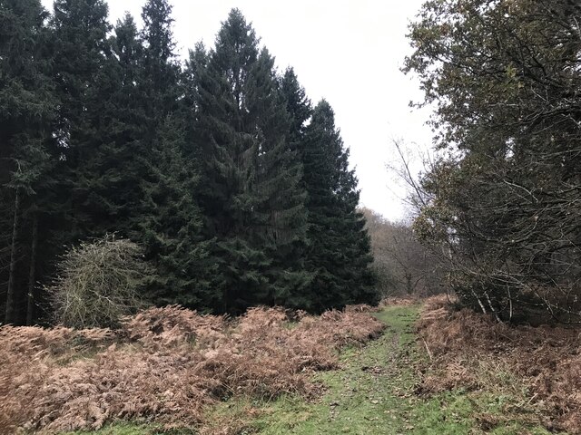
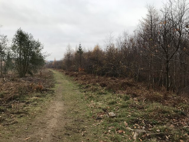
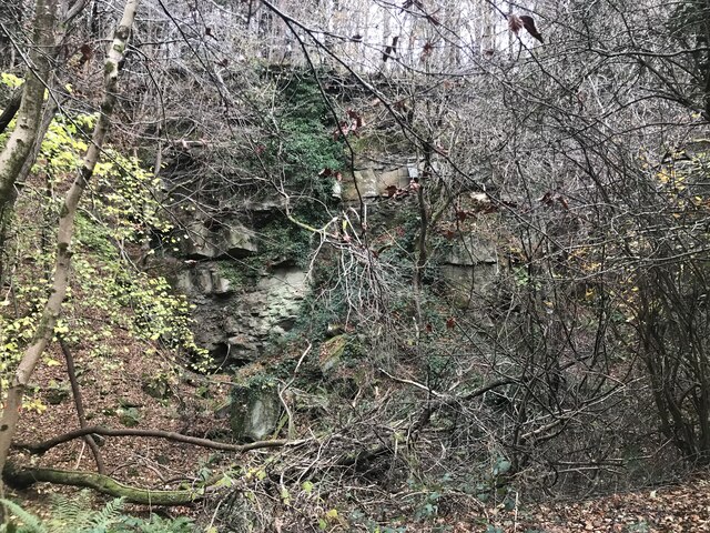
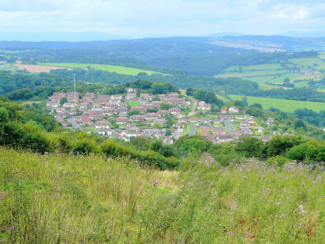
Great God Meadow is a picturesque woodland area located in Gloucestershire, England. Situated in the heart of the Forest of Dean, this enchanting meadow offers visitors a tranquil natural retreat. Covering an area of approximately 100 acres, Great God Meadow is surrounded by lush greenery, towering trees, and a diverse array of flora and fauna.

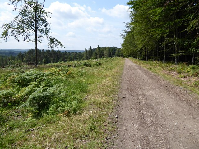
The meadow is known for its stunning panoramic views and is a popular spot for nature enthusiasts and photographers alike. The diverse ecosystem within the meadow supports a wide range of wildlife, including deer, foxes, badgers, and a variety of bird species. It is not uncommon to spot rare species such as the lesser spotted woodpecker or the silver-washed fritillary butterfly.

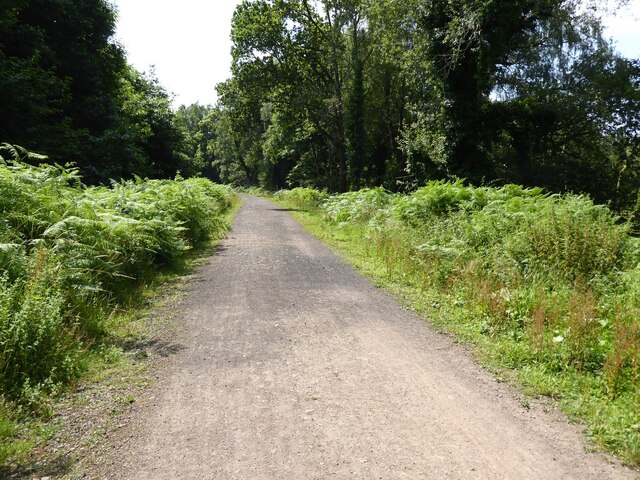
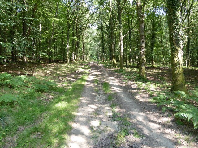
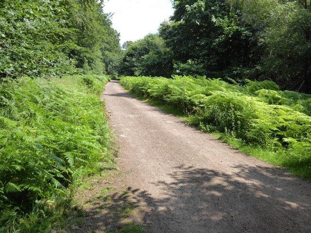
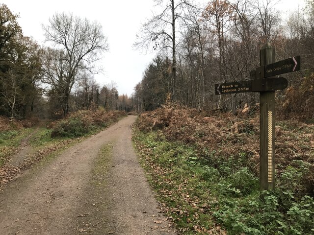
Great God Meadow is also home to several walking trails and pathways, allowing visitors to explore its beauty at their own pace. The meandering paths lead through dense woodlands, alongside babbling brooks, and to hidden clearings, providing a sense of serenity and solitude.

The meadow is particularly renowned for its bluebell displays in the springtime when the forest floor is carpeted with a vibrant sea of blue. This annual spectacle attracts visitors from far and wide, who come to witness the breathtaking beauty of the meadow in full bloom.

Great God Meadow is a protected area, managed by local conservation organizations to preserve its natural beauty and ecological significance. It offers a welcome escape from the hustle and bustle of daily life, providing a haven for both wildlife and humans to coexist harmoniously in this idyllic woodland setting.

If you have any feedback on the listing, please let us know in the comments section below.

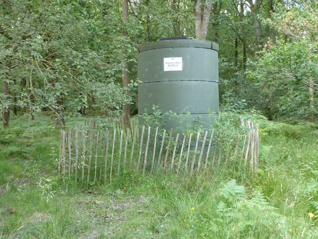
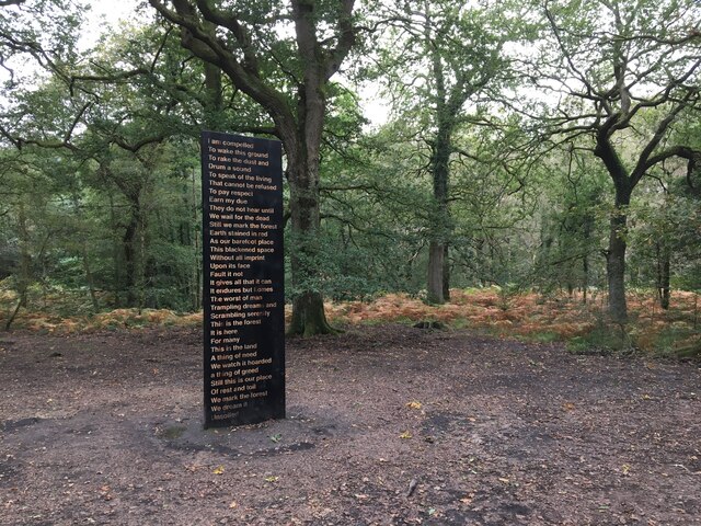
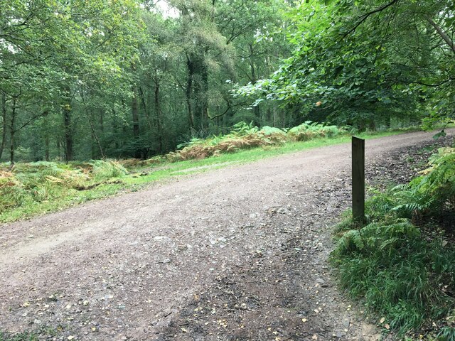
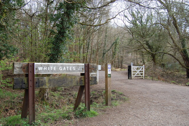
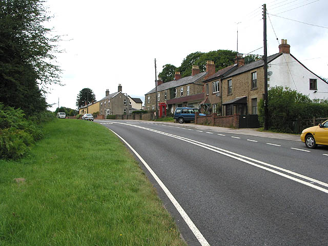
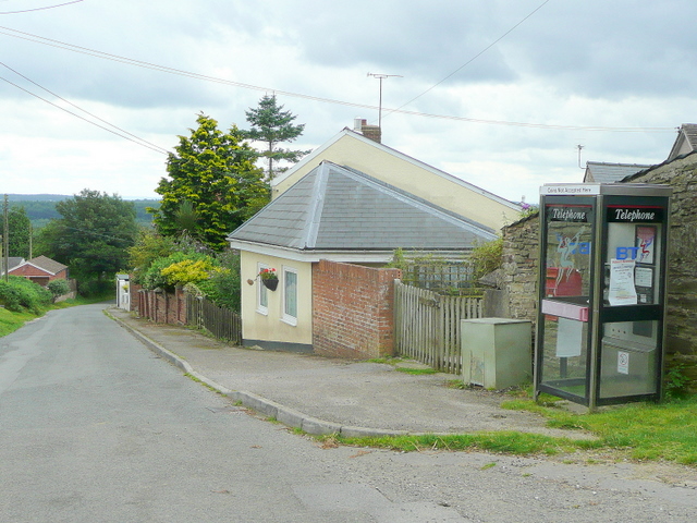
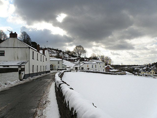
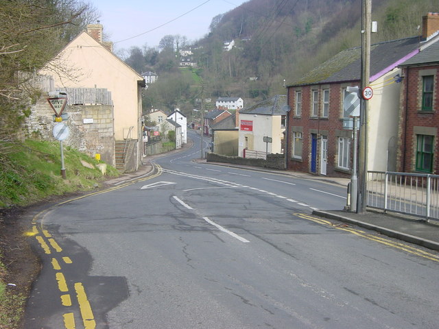
Great God Meadow Images

Images are sourced within 2km of 51.831487/-2.5521822 or Grid Reference SO6214. Thanks to Geograph Open Source API. All images are credited.

Cycleway and former railway The trackbed of the former Severn and Wye Valley near Serridge Inclosure.
Cycleway and former railway
The trackbed of the former Severn and Wye Valley near Serridge Inclosure.
Forest track Forest track in Serridge Inclosure in the Forest of Dean.
Forest track
Forest track in Serridge Inclosure in the Forest of Dean.
The Wysis Way The Wysis Way following a track in Serridge Inclosure.  The Wysis Way is a long distance path connecting Offa's Dyke and the start of the Thames Path.
The Wysis Way
The Wysis Way following a track in Serridge Inclosure. The Wysis Way is a long distance path connecting Offa's Dyke and the start of the Thames Path.
Forest track Forest track near Serridge Green in the Forest of Dean.
Forest track
Forest track near Serridge Green in the Forest of Dean.
Area of clearfell Area of clearfell at Serridge Green.  With the trees felled there are extensive views over the forest.
Area of clearfell
Area of clearfell at Serridge Green. With the trees felled there are extensive views over the forest.
Hicksters Ways bat roost A fabricated bat roost at Hicksters Ways in the Forest of Dean.
Hicksters Ways bat roost
A fabricated bat roost at Hicksters Ways in the Forest of Dean.
Soil Unsoiled, Forest of Dean Sculpture Trail
Forest of Dean Sculpture Trail
White Gates Paths and tracks in all directions
White Gates
Paths and tracks in all directions
Course of old railway
Forest ride
Forest ride
Old railway junction
Mirystock Bridge
Mirystock Bridge
Old chapel and recreation ground
Old railway
Old railway
Old quarry
Old quarry
Sallowvallets track
Sallowvallets track
Old Boundary Marker Estate Boundary Marker east of a forest track and just north of the A4136 near Mirystock House. Lydbrook parish. inscribed Bourts Inclosure and 1842 this perhaps records the enclosure of part of the Forest of Dean.

Milestone Society National ID: GL_LYDBR01em
Old Boundary Marker
Estate Boundary Marker east of a forest track and just north of the A4136 near Mirystock House. Lydbrook parish. inscribed Bourts Inclosure and 1842 this perhaps records the enclosure of part of the Forest of Dean. Milestone Society National ID: GL_LYDBR01em
Show me another place!

Great God Meadow is located at Grid Ref: SO6214 (Lat: 51.831487, Lng: -2.5521822)

Administrative County: Gloucestershire

District: Forest of Dean

Police Authority: Gloucestershire

What 3 Words

///insect.housework.material. Near Lydbrook, Gloucestershire

Related Wikis

Brierley, Gloucestershire

Brierley is a village in the Forest of Dean, Gloucestershire, United Kingdom. It has one petrol station and a shop, both of which are both operated by...

The Pludds

The Pludds is a hamlet in the Forest of Dean, Gloucestershire, England (grid reference SO617161). Lydbrook and Joys Green are to the west, Ruardean is...

Drybrook Road railway station

Drybrook Road is a closed station on the Cinderford to Coleford direct railway line in the Forest of Dean in Gloucestershire, near the village of Drybrook...

Upper Lydbrook railway station

Upper Lydbrook railway station served the civil parish of Lydbrook, Gloucestershire, England, from 1875 to 1929 on the Severn and Wye Railway. == History... ==

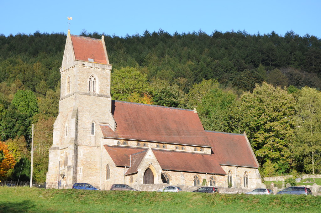
Holy Jesus Church, Lydbrook

Holy Jesus Church at Lydbrook is a Church of England parish church in the English county of Gloucestershire. == Structure == The greater part of the church...

Ruardean Woodside

Ruardean Woodside is a village in Gloucestershire, England, located in the Forest of Dean and tucked away behind Ruardean Hill and Brierley. There is...

Lydbrook

Lydbrook is a civil parish in the Forest of Dean, a local government district in the English county of Gloucestershire and is located in the Wye Valley...

Joys Green, Gloucestershire

Joy's Green is a village in the Forest of Dean in West Gloucestershire, England. The village is in the civil parish of the neighbouring village of Lydbrook...

Nearby Amenities

Located within 500m of 51.831487,-2.5521822
Bus Stop
Brierley Garage
Naptan AtcoCode: 1600GLF199
Naptan Bearing: W
Naptan CommonName: Brierley Garage
Naptan Indicator: Opp
Naptan NaptanCode: gloagpgm
Naptan Street: High St
Naptan Verified: no
Source: naptan_import
Lat/Long: 51.8330269/-2.5503334
Bus Stop
Brierley Garage
Naptan AtcoCode: 1600GLF200
Naptan Bearing: E
Naptan CommonName: Brierley Garage
Naptan NaptanCode: gloagpgp
Naptan Street: High St
Naptan Verified: no
Source: naptan_import
Lat/Long: 51.8331349/-2.5503057
Fuel
Brierley Service Station
Brand: Jet
Fuel Diesel: yes
Fuel Lpg: yes
Fuel Octane 91: yes
Lat/Long: 51.8332004/-2.550082
Post Box
Operator: Royal Mail
Post Box Type: lamp
Lat/Long: 51.8336287/-2.5468352
Power: pole
Lat/Long: 51.8277062/-2.55502
Power: pole
Lat/Long: 51.8284728/-2.5544769
Power: pole
Lat/Long: 51.8299929/-2.5545613
Power: pole
Lat/Long: 51.8300526/-2.5550964
Power: pole
Lat/Long: 51.830065/-2.5553727
Power: pole
Lat/Long: 51.8301296/-2.5562029
Power: pole
Lat/Long: 51.8306849/-2.5575212
Power: pole
Lat/Long: 51.831164/-2.5579557
Power: pole
Lat/Long: 51.8314113/-2.5591633
Power: pole
Lat/Long: 51.8294881/-2.5541845
Power: pole
Lat/Long: 51.8299647/-2.5540625
Power: pole
Lat/Long: 51.830181/-2.5540182
Location Transition: yes
Power: pole
Lat/Long: 51.8304222/-2.5534965
Power: pole
Lat/Long: 51.8303841/-2.5536574
Power: pole
Lat/Long: 51.8304669/-2.5539646
Power: pole
Lat/Long: 51.8305647/-2.5544903
Power: pole
Lat/Long: 51.8306683/-2.5550777
Power: pole
Lat/Long: 51.8308557/-2.556109
Power: pole
Lat/Long: 51.8310993/-2.5573374
Power: pole
Lat/Long: 51.8312228/-2.5586088
Power: pole
Lat/Long: 51.8314074/-2.5594375
Power: pole
Lat/Long: 51.8311979/-2.5578068
Power: pole
Lat/Long: 51.8314035/-2.5588448
Power: pole
Lat/Long: 51.8314746/-2.559181
Generator Method: photovoltaic
Generator Output Electricity: yes
Generator Source: solar
Generator Type: solar_photovoltaic_panel
Location: roof
Power: generator
Lat/Long: 51.8333229/-2.5525135
Generator Method: photovoltaic
Generator Output Electricity: yes
Generator Source: solar
Generator Type: solar_photovoltaic_panel
Location: roof
Power: generator
Lat/Long: 51.8337008/-2.5468057
Great God Meadow
Place: locality
Lat/Long: 51.8319952/-2.5520598
The data included in this document is from www.openstreetmap.org. The data is made available under ODbL.

Have you been to Great God Meadow?

Leave your review of Great God Meadow below (or comments, questions and feedback).