Grove

Wood, Forest in Lancashire Ribble Valley

England

Grove

Providence Chapel Chipping's Congregational church was erected in 1838 and is grade II listed.
Providence Chapel Credit: Phil and Juliette Platt

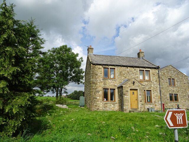
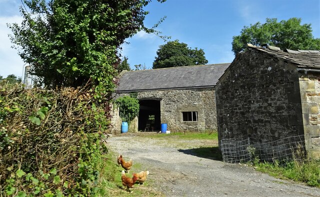
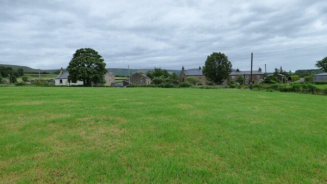
Grove, Lancashire, also known as Wood or Forest, is a rural village located in the county of Lancashire in North West England. Nestled amidst beautiful rolling countryside, Grove is renowned for its picturesque landscapes and tranquil atmosphere. The village is situated near the larger towns of Blackburn and Burnley, providing easy access to urban amenities while still offering a peaceful rural lifestyle.

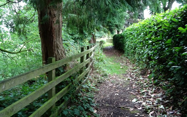
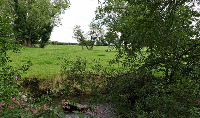
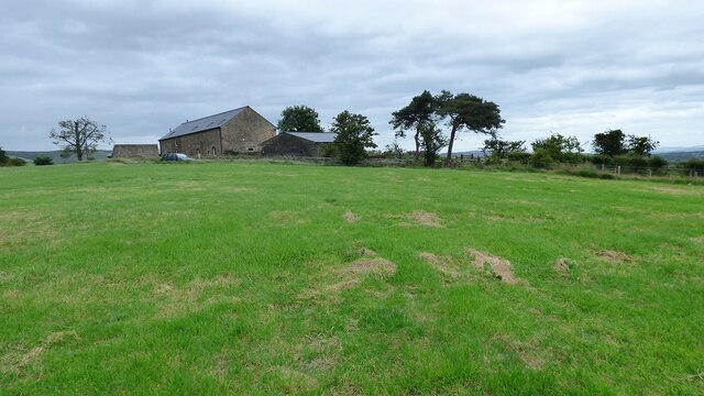
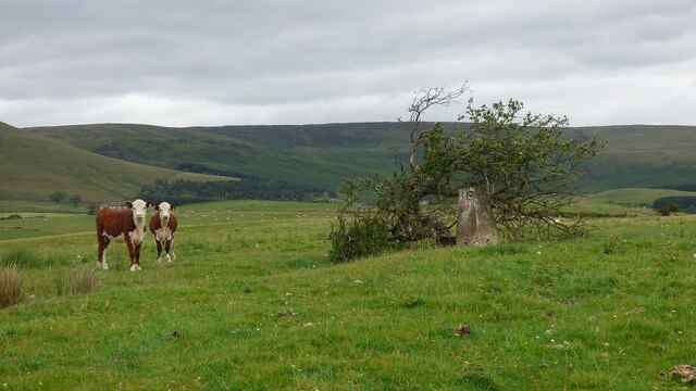
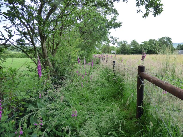
Grove is characterized by its dense woodland areas, which give the village its alternative names of Wood and Forest. The surrounding woodlands are home to a diverse array of flora and fauna, making it a haven for nature enthusiasts and wildlife lovers. The village's idyllic setting also attracts visitors who come to explore the numerous walking trails and enjoy outdoor activities such as hiking, birdwatching, and picnicking.

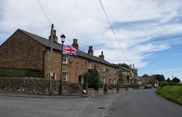
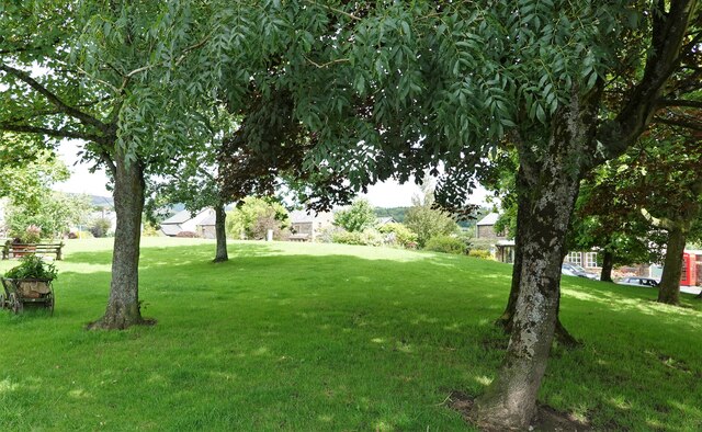
The village itself is small and close-knit, with a tight community spirit. It features a handful of local amenities, including a post office, a convenience store, and a charming village pub. The residents of Grove take great pride in their village, organizing community events and activities throughout the year, fostering a strong sense of community belonging.

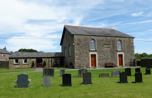
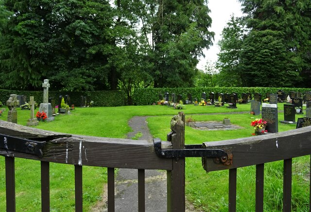
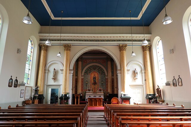
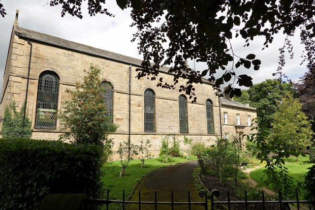
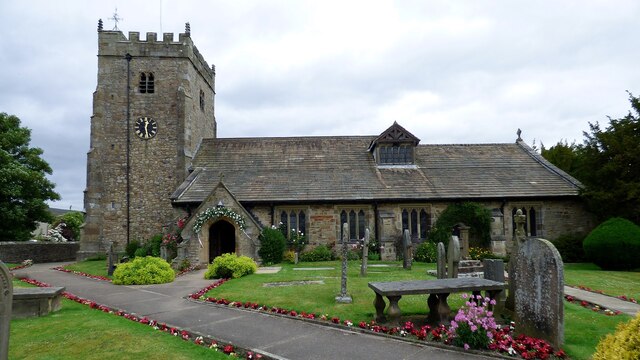
Grove is also steeped in history, with evidence of human habitation dating back centuries. The village is home to several historic landmarks, such as St. Mary's Church, a beautiful medieval structure that stands as a testament to the village's rich heritage.

Overall, Grove, Lancashire, is a charming rural village that offers a tranquil escape from the hustle and bustle of city life. Its natural beauty, strong community spirit, and historical significance make it an appealing destination for both residents and visitors alike.

If you have any feedback on the listing, please let us know in the comments section below.

Grove Images

Images are sourced within 2km of 53.886802/-2.5803327 or Grid Reference SD6143. Thanks to Geograph Open Source API. All images are credited.

Providence Chapel Chipping's Congregational church was erected in 1838 and is grade II listed.
Providence Chapel
Chipping's Congregational church was erected in 1838 and is grade II listed.
Club Row, Chipping Built in 1822 - 1824 by the Chipping Brothers' Friendly Society, a club of working men founded in 1789. In 1834 the club joined the Order of Oddfellows. The row was bought by the Brabin's Trust in 2004.
Club Row, Chipping
Built in 1822 - 1824 by the Chipping Brothers' Friendly Society, a club of working men founded in 1789. In 1834 the club joined the Order of Oddfellows. The row was bought by the Brabin's Trust in 2004.
Entering Chipping
Entering Chipping
Hang in there Hang glider over Chipping.
Hang in there
Hang glider over Chipping.
The site of Chipping Steam Fair Too late for this year - the date is well past.
The site of Chipping Steam Fair
Too late for this year - the date is well past.
House at a road junction Previously Crag House Farmhouse at the junction of Collin's Hill Lane and Fish House Lane.
House at a road junction
Previously Crag House Farmhouse at the junction of Collin's Hill Lane and Fish House Lane.
Path to a cemetery The path leads from St. Mary's churchyard to the church's new cemetery.
Path to a cemetery
The path leads from St. Mary's churchyard to the church's new cemetery.
St. Mary's Cemetery The new cemetery opened after the old graveyard by the church became full.
St. Mary's Cemetery
The new cemetery opened after the old graveyard by the church became full.
The village green Chipping, in Bowland.
The village green
Chipping, in Bowland.
St. Mary's R.C. church In Chipping.
St. Mary's R.C. church
In Chipping.
St. Mary's church and presbytery In Chipping, Lancashire.
St. Mary's church and presbytery
In Chipping, Lancashire.
Chipping Brook From the garden of St. Mary's church.
Chipping Brook
From the garden of St. Mary's church.
Leagram Mill Free range hens search for food around the farmyard.
Leagram Mill
Free range hens search for food around the farmyard.
Abbot Barn
Abbot Barn
Calves and Trig Point The small tree shown standing 9 years ago <a href="https://www.geograph.org.uk/photo/3866025">SD6043 : Cold Coats Trig</a> has fallen onto the trig point.
Calves and Trig Point
The small tree shown standing 9 years ago SD6043 : Cold Coats Trig has fallen onto the trig point.
Blackhall Farm View from the south.
Blackhall Farm
View from the south.
Overgrown footpath near Chipping
Church of St. Bartholomew <span class="nowrap"><a title="https://historicengland.org.uk/listing/the-list/list-entry/1072279?section=official-list-entry" rel="nofollow ugc noopener" href="https://historicengland.org.uk/listing/the-list/list-entry/1072279?section=official-list-entry">Link</a><img style="margin-left:2px;" alt="External link" title="External link - shift click to open in new window" src="https://s1.geograph.org.uk/img/external.png" width="10" height="10"/></span>
Church of St. Bartholomew
Show me another place!

Grove is located at Grid Ref: SD6143 (Lat: 53.886802, Lng: -2.5803327)

Administrative County: Lancashire

District: Ribble Valley

Police Authority: Lancashire

What 3 Words

///baguette.protect.dining. Near Longridge, Lancashire

Nearby Locations

Grove

Related Wikis

Kirk Mill

Kirk Mill is an early example of an Arkwright-type cotton mill and a grade II listed building in Chipping, Lancashire, in Ribble Valley, to the north of...

St Bartholomew's Church, Chipping

St Bartholomew's Church is in the village of Chipping, Lancashire, England. It is an active Anglican parish church in the deanery of Whalley, the archdeaconry...

Chipping, Lancashire

Chipping is a village and civil parish in the borough of Ribble Valley, Lancashire, England, within the Forest of Bowland Area of Outstanding Natural Beauty...

Bowland-with-Leagram

Bowland-with-Leagram is a civil parish in the Ribble Valley district of Lancashire, England, covering part of the Forest of Bowland. According to the census...

Nearby Amenities

Located within 500m of 53.886802,-2.5803327
Chipping
Place: village
Source: npe
Lat/Long: 53.8849416/-2.5758971
War Memorial
Historic: memorial
Memorial: war_memorial
Lat/Long: 53.8854172/-2.5737157
Pub
The Sun Inn
Wikidata: Q59823247
Lat/Long: 53.8842938/-2.5757748
Cafe
The Cobbled Corner
Lat/Long: 53.8844326/-2.5767457
Bus Stop
Bus: yes
Public Transport: platform
Lat/Long: 53.8851536/-2.5774733
Access: private
Lat/Long: 53.8880754/-2.580845
Barrier: stile
Foot: yes
Lat/Long: 53.8902219/-2.5794496
Barrier: stile
Foot: yes
Lat/Long: 53.8880419/-2.5808209
Pub
The Tillotsons Arms
Lat/Long: 53.8846878/-2.5749075
Post Box
Lat/Long: 53.8847866/-2.5748132
Telephone
Booth: K6
Covered: booth
Lat/Long: 53.8848074/-2.5767441
Village Store
Shop: convenience
Lat/Long: 53.8843887/-2.5754561
Recycling
Lat/Long: 53.8838454/-2.5787678
Robinson Bros
Shop: butcher
Lat/Long: 53.8840441/-2.5770053
Bench
Backrest: yes
Lat/Long: 53.8851811/-2.577046
Noexit: yes
Lat/Long: 53.8859803/-2.5799632
Noexit: yes
Lat/Long: 53.8856198/-2.5790888
Noexit: yes
Lat/Long: 53.8855898/-2.5822297
The data included in this document is from www.openstreetmap.org. The data is made available under ODbL.

Have you been to Grove?

Leave your review of Grove below (or comments, questions and feedback).