Bath House Coppice

Wood, Forest in Worcestershire Malvern Hills

England

Bath House Coppice

Contented woolies At Lower House, the Kyre Equestrian Centre near Tenbury Wells.
Contented woolies Credit: John Phillips

Bath House Coppice is a picturesque woodland located in Worcestershire, England. Situated in the heart of the county, the coppice is a designated Site of Special Scientific Interest (SSSI), owing to its rich biodiversity and historical significance.

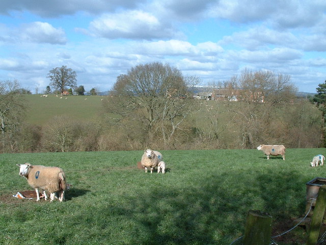
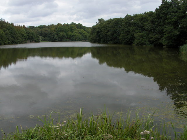
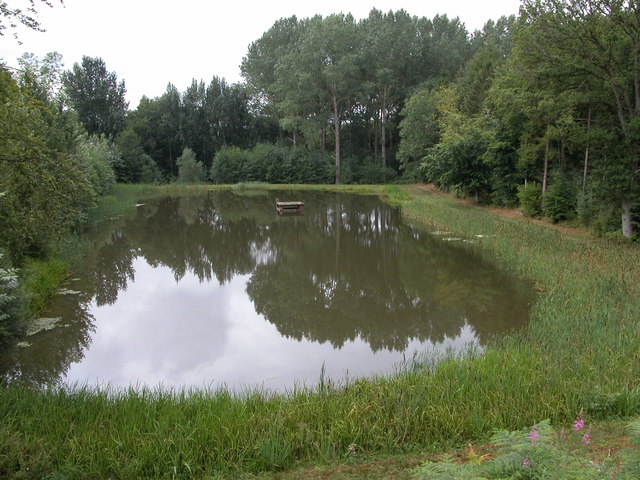
Covering an area of approximately 50 hectares, Bath House Coppice is predominantly composed of broadleaf trees such as oak, beech, and ash. These towering giants create a dense canopy, providing a cool and tranquil atmosphere within the woodland. The forest floor is adorned with a vibrant carpet of bluebells, wild garlic, and other native flora, making it a haven for nature enthusiasts and photographers alike.

The coppice boasts an extensive network of footpaths, allowing visitors to explore its beauty at their leisure. These paths wind through the woods, revealing hidden glades, bubbling streams, and idyllic picnic spots. The sound of birdsong fills the air, with species such as woodpeckers, thrushes, and warblers calling the woodland home.

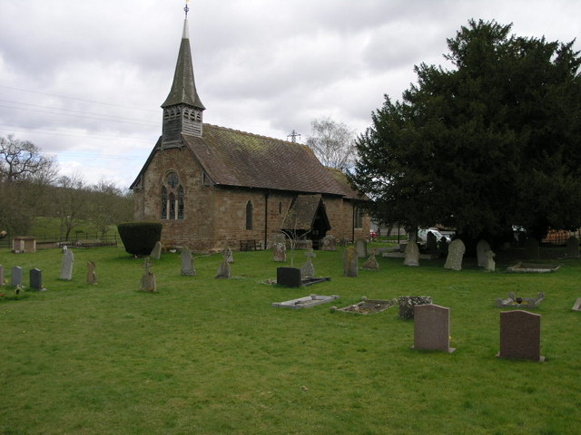
History also permeates Bath House Coppice, as remnants of its past can still be seen today. The name of the coppice is derived from the nearby Bath House, a historic building that was once a popular destination for visitors seeking the healing properties of the local spring waters.

Overall, Bath House Coppice is a captivating woodland, offering visitors a chance to connect with nature and immerse themselves in the tranquility of Worcestershire's countryside. Whether it's a leisurely stroll, a wildlife spotting adventure, or a picnic with loved ones, this enchanting forest has something for everyone to enjoy.

If you have any feedback on the listing, please let us know in the comments section below.

Bath House Coppice Images

Images are sourced within 2km of 52.29036/-2.5605703 or Grid Reference SO6165. Thanks to Geograph Open Source API. All images are credited.

Contented woolies At Lower House, the Kyre Equestrian Centre near Tenbury Wells.
Contented woolies
At Lower House, the Kyre Equestrian Centre near Tenbury Wells.
Rolling Fields Bank farm in the distance sits amongst these rolling fields.
Rolling Fields
Bank farm in the distance sits amongst these rolling fields.
Kyre Pool Kyre Pool is situated in a former deer park.
Kyre Pool
Kyre Pool is situated in a former deer park.
Smaller pool below Kyre Pool This smaller pool is situated just to the west of the Kyre Pool, though it is not shown on the OS map.
Smaller pool below Kyre Pool
This smaller pool is situated just to the west of the Kyre Pool, though it is not shown on the OS map.
Bromyard Road
Bromyard Road
Lower House The farm at Lower House is to the north-east of Kyre, on the lower eastern slopes of Haws Hill.
Lower House
The farm at Lower House is to the north-east of Kyre, on the lower eastern slopes of Haws Hill.
Sutton House Farm at Sutton House viewed from near Upper House.
Sutton House
Farm at Sutton House viewed from near Upper House.
Sheep in a field on the slopes of Haws Hill
The Valley of the Kyre Brook Quite a wide steep sided valley bottom for such a small brook. The Kyre Brook flows north (right to left) on its way to Tenbury where it joins the river Teme.
The Valley of the Kyre Brook
Quite a wide steep sided valley bottom for such a small brook. The Kyre Brook flows north (right to left) on its way to Tenbury where it joins the river Teme.
Kyre/Sutton Parish Boundary The small stream running along the fenceline is not named on the OS maps, but determines the boundary between the two parishes. After a few hundred metres (behind the camera) it joins the Kyre Brook which in turn joins the River Teme at Tenbury.
Kyre/Sutton Parish Boundary
The small stream running along the fenceline is not named on the OS maps, but determines the boundary between the two parishes. After a few hundred metres (behind the camera) it joins the Kyre Brook which in turn joins the River Teme at Tenbury.
Sutton Mill Looking like just a farm, but with two large ponds behind the trees draining the land of Sutton Park this is an ideal mill site. there is a considerable drop down to the Kyre Brook (just to  the right of the picture).
Sutton Mill
Looking like just a farm, but with two large ponds behind the trees draining the land of Sutton Park this is an ideal mill site. there is a considerable drop down to the Kyre Brook (just to the right of the picture).
View north of the B4214 The Bromyard road, east of Tenbury. A newly ploughed field showing the local red soil well.
View north of the B4214
The Bromyard road, east of Tenbury. A newly ploughed field showing the local red soil well.
View over the Teme valley Looking north from the B4204 Tenbury to Worcester road.
View over the Teme valley
Looking north from the B4204 Tenbury to Worcester road.
Bridleway Through Haws Hill Wood
Haws Hill Vista
Haws Hill Vista
Power Line On Haws Hill
Large Field Near Hilltop Farm
Show me another place!

Bath House Coppice is located at Grid Ref: SO6165 (Lat: 52.29036, Lng: -2.5605703)

Administrative County: Worcestershire

District: Malvern Hills

Police Authority: West Mercia

What 3 Words

///nametag.affair.mole. Near Tenbury Wells, Worcestershire

Nearby Locations

Bath House Coppice

Related Wikis

Kyre

Kyre is a small village and civil parish in the Malvern Hills district of the county of Worcestershire, England, and shares its parish council with neighbouring...

Rochford, Worcestershire

Rochford consists of two hamlets, Lower and Upper Rochford. A civil parish in the Malvern Hills District near Tenbury Wells, in the county of Worcestershire...

Oldwood, Worcestershire

Oldwood is a hamlet in the English county of Worcestershire. Oldwood is located on the A4112 road a mile southwest of the market town of Tenbury Wells...

Tenbury Wells

Tenbury Wells (locally Tenbury) is a market town and civil parish in the northwestern extremity of the Malvern Hills District of Worcestershire, England...

Nearby Amenities

Located within 500m of 52.29036,-2.5605703
Bus Stop
Sutton-New Inn
Naptan AtcoCode: 2000G111900
Naptan Bearing: NW
Naptan CommonName: Sutton-New Inn
Naptan Indicator: Adj
Naptan Landmark: Sutton house
Naptan NaptanCode: wocdgjma
Naptan Street: Bromyard Road
Naptan Verified: no
Source: naptan_import
Lat/Long: 52.2880533/-2.5630208
Post Box
Box Type: lamp_box
Collection Times: Mo-Fr 16:15; Sa 08:30
Location: Haws Hill
Operator: Royal Mail
Operator Wikidata: Q638098
Post Box Mounting: pier
Post Box Type: lamp
Ref: WR15 136
Lat/Long: 52.2903715/-2.5665071
The data included in this document is from www.openstreetmap.org. The data is made available under ODbL.

Have you been to Bath House Coppice?

Leave your review of Bath House Coppice below (or comments, questions and feedback).