King Wood
Wood, Forest in Lancashire Ribble Valley
England
King Wood
King's Wood, Lancashire, also known as Wood, Forest, is a picturesque village located in the North West of England. Nestled within the county of Lancashire, this charming village is surrounded by lush greenery, rolling hills, and enchanting woodlands. King's Wood is situated approximately 15 miles east of the city of Preston and is easily accessible through the A59 road.
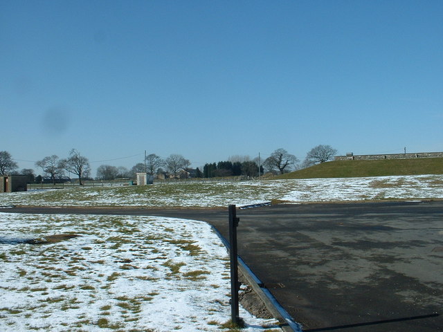
With a population of around 1,500 residents, King's Wood offers a tranquil and close-knit community atmosphere. The village is renowned for its natural beauty, with numerous walking trails and nature reserves attracting outdoor enthusiasts and wildlife lovers alike. The dense woodland, after which the village is named, provides a stunning backdrop and allows residents and visitors to immerse themselves in the wonders of nature.
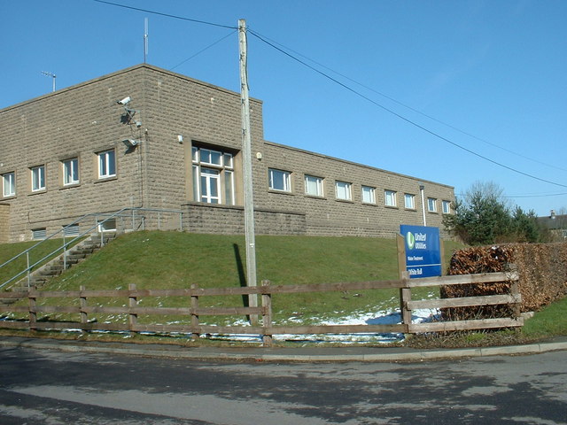
The village is home to a range of amenities, including a local primary school, a village hall, and a few shops catering to the everyday needs of its residents. Additionally, King's Wood boasts a traditional pub, which serves as a popular gathering spot for locals and visitors alike, offering a warm and friendly atmosphere.
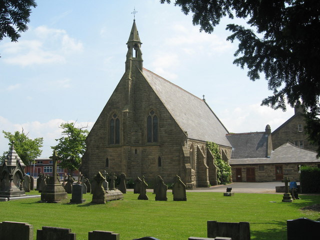
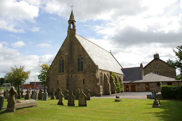
King's Wood is steeped in history and boasts several historical landmarks, including the remnants of an ancient castle and a medieval church, both of which attract tourists interested in the village's rich heritage.
Overall, King's Wood, Lancashire, offers a serene and idyllic retreat for those seeking a peaceful and picturesque village surrounded by natural beauty and steeped in history.
If you have any feedback on the listing, please let us know in the comments section below.
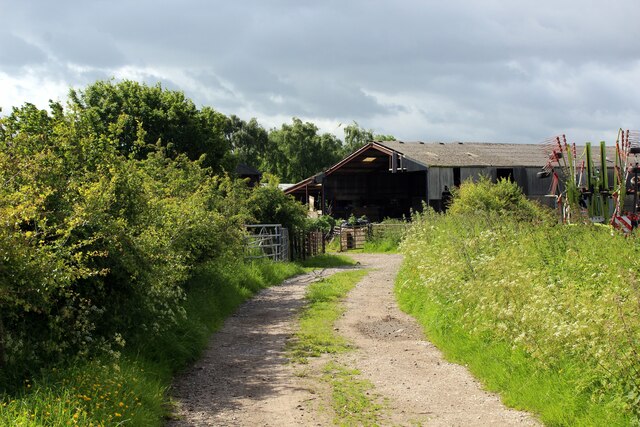
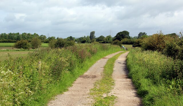
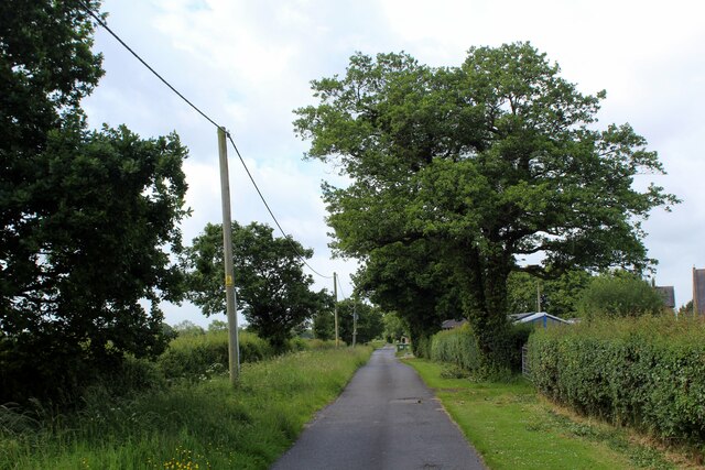
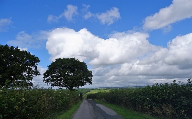
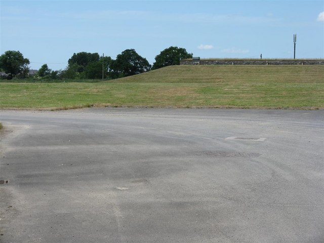
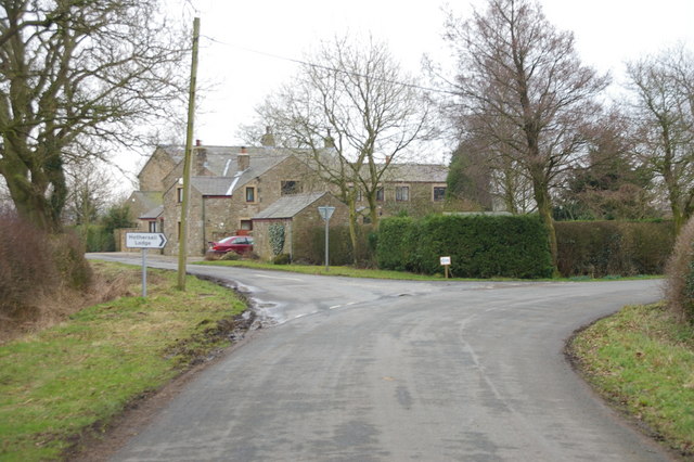
King Wood Images
Images are sourced within 2km of 53.80657/-2.5851306 or Grid Reference SD6134. Thanks to Geograph Open Source API. All images are credited.


King Wood is located at Grid Ref: SD6134 (Lat: 53.80657, Lng: -2.5851306)
Administrative County: Lancashire
District: Ribble Valley
Police Authority: Lancashire
What 3 Words
///labels.announced.lamenting. Near Longridge, Lancashire
Nearby Locations
Related Wikis

Alston Hall
Alston Hall is a 19th-century Victorian gothic style country mansion located in Longridge (near Preston) in Lancashire, England. It is not to be confused...

Lancashire dialect
The Lancashire dialect (or colloquially, Lanky) refers to the Northern English vernacular speech of the English county of Lancashire. The region is notable...

Rock FM (Lancashire)
Rock FM is an Independent Local Radio station based in Liverpool, England, owned and operated by Bauer as part of the Hits Radio network. It broadcasts...

Lancashire
Lancashire ( LAN-kə-shər, -sheer; abbreviated Lancs) is a ceremonial county in North West England. It is bordered by Cumbria to the north, North Yorkshire...
Have you been to King Wood?
Leave your review of King Wood below (or comments, questions and feedback).