Ash Beds
Wood, Forest in Shropshire
England
Ash Beds
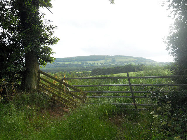
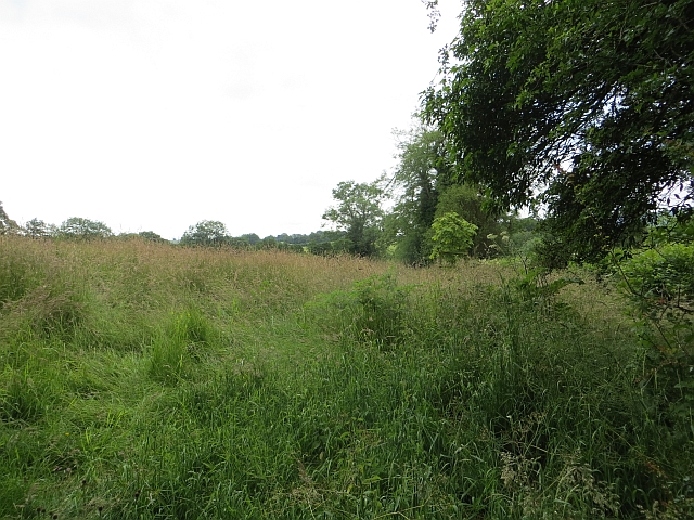
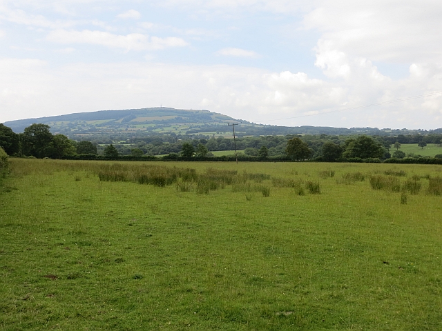
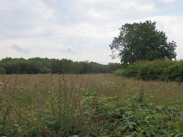
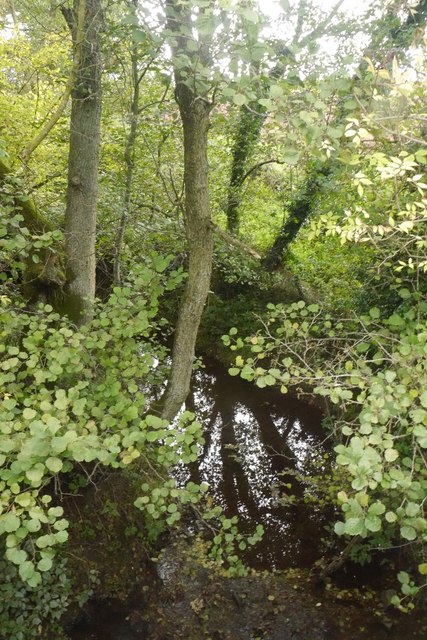
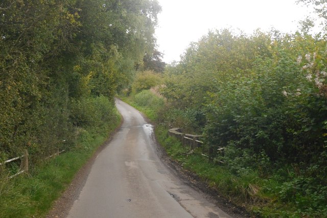
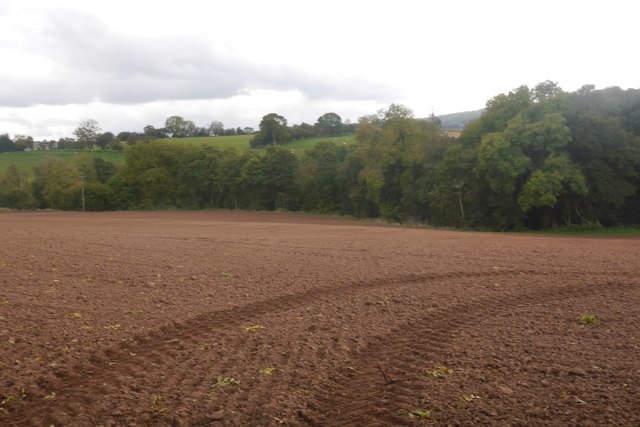
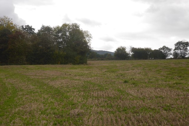
Ash Beds is a picturesque woodland area located in Shropshire, England. Covering an extensive area of lush greenery, it is a popular destination for nature enthusiasts and hikers alike. The woodland is predominantly composed of ash trees, from which it derives its name.
The dense forest is a haven for a diverse range of flora and fauna, making it an ideal spot for wildlife enthusiasts. Visitors can expect to encounter a variety of bird species, including woodpeckers, thrushes, and owls, which are often heard echoing through the trees. Additionally, the forest is home to various mammals such as deer, foxes, and squirrels, providing ample opportunities for wildlife sightings.
The woodland offers a network of well-maintained trails and footpaths, making it an excellent location for walking, jogging, or simply exploring the natural beauty of the area. The paths wind through the forest, meandering alongside babbling brooks and enchanting clearings, creating a tranquil atmosphere that is perfect for relaxation and escape from the hustle and bustle of everyday life.
Ash Beds is also renowned for its vibrant displays of wildflowers, particularly during the spring and summer months. The forest floor becomes a carpet of color, with an array of bluebells, primroses, and daffodils in full bloom, adding to the visual appeal of the area.
Overall, Ash Beds in Shropshire offers a serene and idyllic woodland experience, where visitors can immerse themselves in nature's beauty and enjoy a tranquil escape from the outside world.
If you have any feedback on the listing, please let us know in the comments section below.
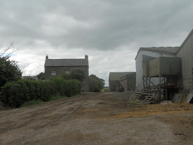
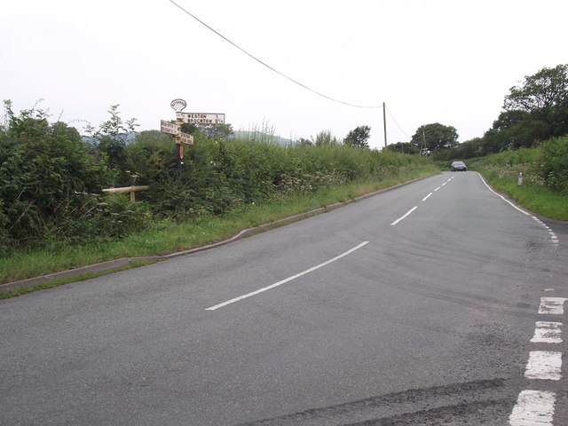
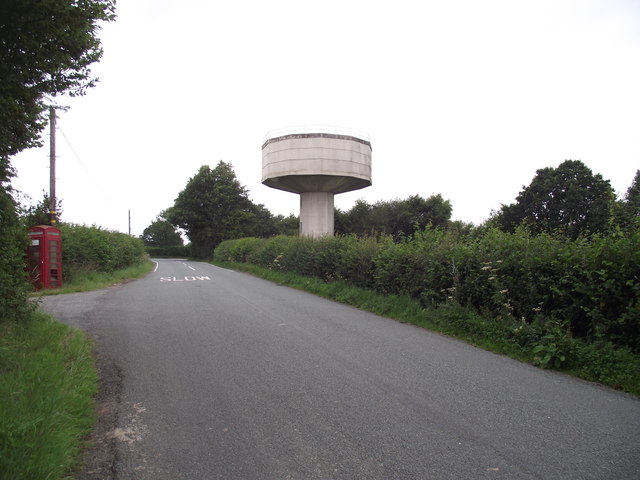
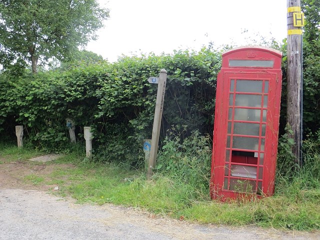
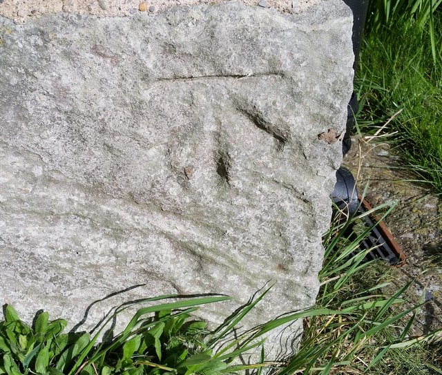
Ash Beds Images
Images are sourced within 2km of 52.508424/-2.5685871 or Grid Reference SO6190. Thanks to Geograph Open Source API. All images are credited.
Ash Beds is located at Grid Ref: SO6190 (Lat: 52.508424, Lng: -2.5685871)
Unitary Authority: Shropshire
Police Authority: West Mercia
What 3 Words
///towns.upward.blazed. Near Much Wenlock, Shropshire
Nearby Locations
Related Wikis

Middleton Priors
Middleton Priors is a village in Shropshire. The hamlet of Middleton Baggot lies less than a mile to its east. The population is shown under Ditton Priors...

Ditton Priors Halt railway station
Ditton Priors railway station was a station in Ditton Priors, Shropshire, England. The station was opened in 1908 and closed in 1938. == References... ==

Ditton Priors
Ditton Priors is a village and civil parish in south Shropshire, England. Historically, it was also known as Priors Ditton. The nearest town is Bridgnorth...

Monkhopton
Monkhopton is a village and civil parish in Shropshire, England. It is 6.5 miles south of Much Wenlock. There is an Anglican church: Its co-ordinates are...
Cleobury North Crossing railway station
Cleobury North Crossing railway station was a station in Cleobury North, Shropshire, England. The station was opened in 1908 and closed in 1938. ��2�...

Neenton
Neenton is a civil parish and small village in south east Shropshire, England, which is situated on the B4364 southwest of the market town of Bridgnorth...

Cleobury North
Cleobury North is a civil parish and small village in south east Shropshire, England. It is situated on the B4364 southwest of the market town of Bridgnorth...

Stanton Long
Stanton Long is a small village and civil parish situated in the district of Corve Dale, Shropshire, England. It is one of three parishes in the local...
Have you been to Ash Beds?
Leave your review of Ash Beds below (or comments, questions and feedback).