Church Wood

Wood, Forest in Aberdeenshire

Scotland

Church Wood

A980 at Torphins
A980 at Torphins Credit: Steven Brown

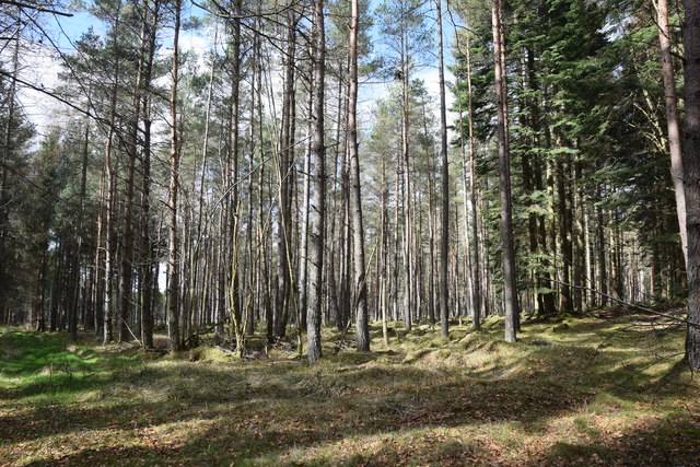
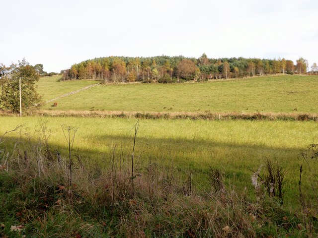
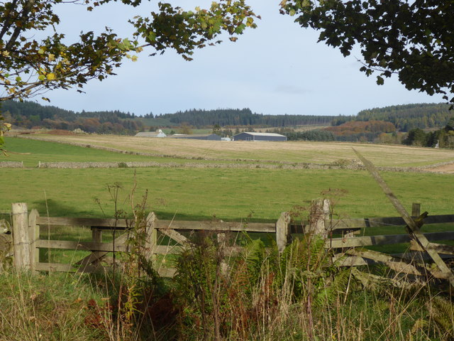
Church Wood is a picturesque forest located in Aberdeenshire, Scotland. Spanning approximately 50 acres, this enchanting woodland is a popular destination for nature lovers and outdoor enthusiasts alike. The forest is part of the larger Drumtochty Forest complex and is situated near the charming village of Auchenblae.

Church Wood gets its name from the historic St. Palladius Church, which sits on the edge of the forest. The church dates back to the 13th century and adds a touch of old-world charm to the surrounding landscape. Its ancient stone walls and peaceful atmosphere make it a favorite spot for visitors seeking a moment of tranquility.

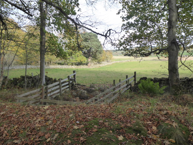
The woodland itself is a haven for wildlife, boasting a diverse range of flora and fauna. Visitors can expect to encounter a variety of native trees, including oak, beech, and birch, which provide a lush canopy overhead. The forest floor is carpeted with bluebells in the spring, creating a stunning sight and an inviting atmosphere for a leisurely stroll.

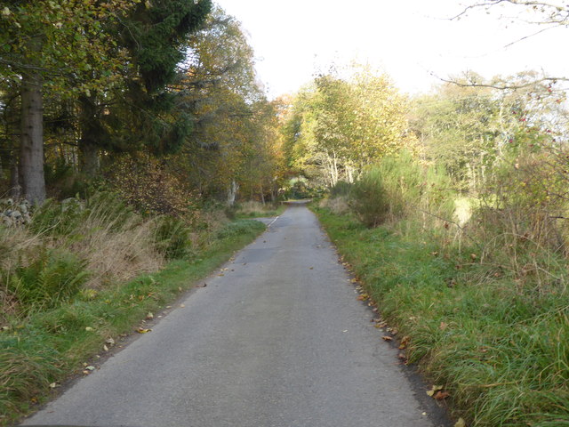
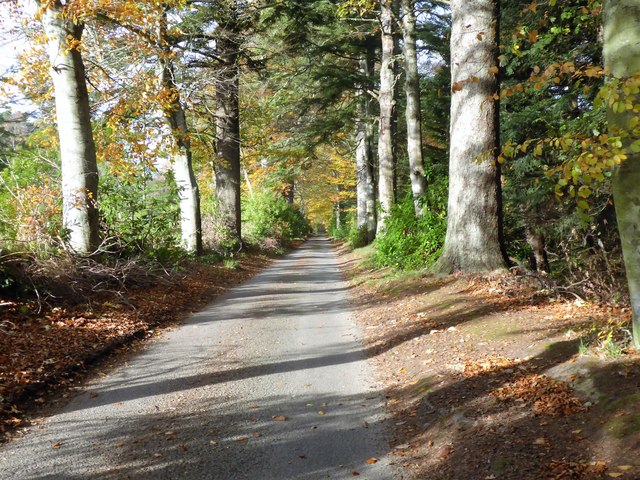
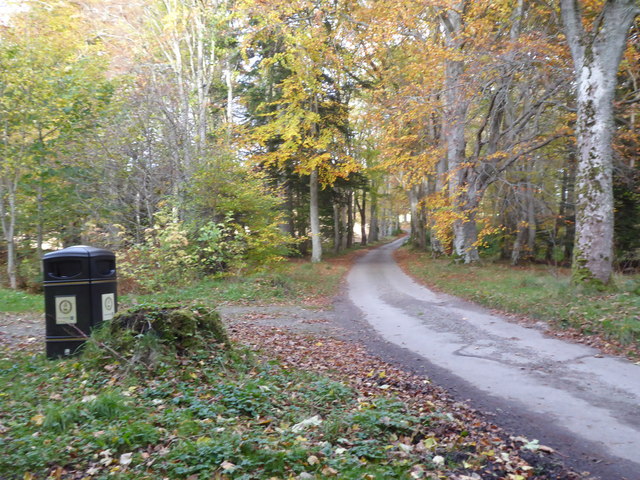
Several well-maintained trails wind through the forest, offering visitors the opportunity to explore its natural beauty at their own pace. These paths are suitable for walkers of all abilities and provide access to scenic viewpoints and hidden gems within the woodland.

Overall, Church Wood in Aberdeenshire is a captivating destination that offers a delightful blend of history, natural beauty, and tranquility. Whether you are seeking a peaceful retreat or an opportunity to immerse yourself in the great outdoors, this enchanting forest is sure to leave a lasting impression.

If you have any feedback on the listing, please let us know in the comments section below.
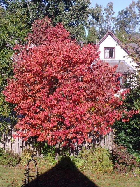
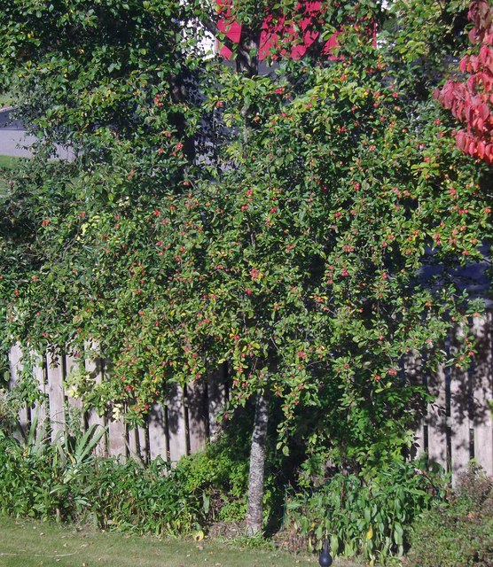
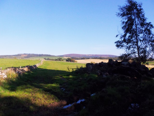
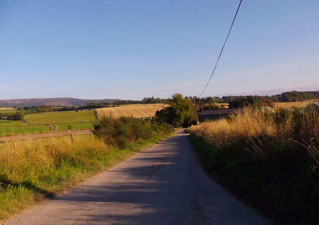
Church Wood Images

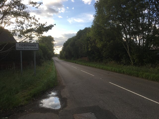
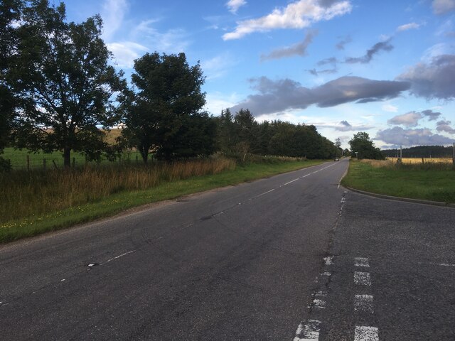
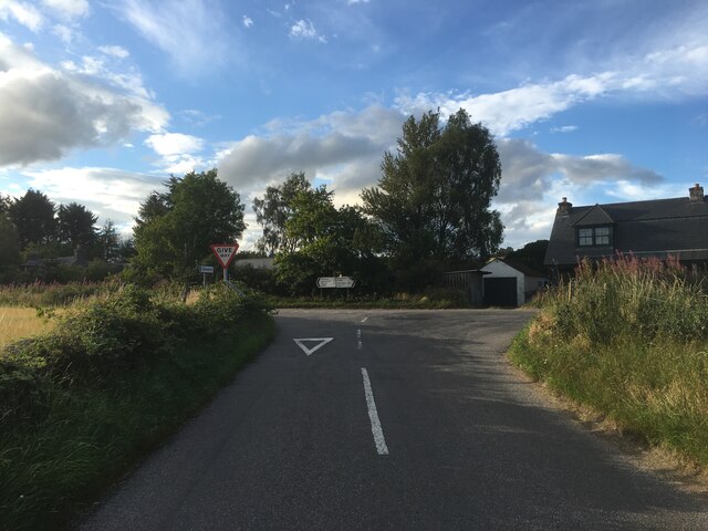
Images are sourced within 2km of 57.101946/-2.5996226 or Grid Reference NJ6301. Thanks to Geograph Open Source API. All images are credited.

A980 at Torphins
A980 at Torphins
A980 towards Banchory
Road junction near Milton of Campfield
Conifer plantation at Dam Wood
'New England' style autumn foliage At the start of October in NE Scotland.
'New England' style autumn foliage
At the start of October in NE Scotland.
Fruiting crab apple tree October in a Torphins garden.
Fruiting crab apple tree
October in a Torphins garden.
Field on Learney Estate With dry stone wall on left, and conservation pile of stones with tree on right.
Field on Learney Estate
With dry stone wall on left, and conservation pile of stones with tree on right.
Approach to Milltown of Learney On a minor road from Fontenoy Lodge.
Approach to Milltown of Learney
On a minor road from Fontenoy Lodge.
Spuggie paradise! Yet another bumper brood of House Sparrows courtesy my garage roof. 25 years ago there was scarce a Sparrow to be seen in this end of Torphins.
Spuggie paradise!
Yet another bumper brood of House Sparrows courtesy my garage roof. 25 years ago there was scarce a Sparrow to be seen in this end of Torphins.
William Street, Torphins Near its junction with Station Road (B993).
William Street, Torphins
Near its junction with Station Road (B993).
Craigour Avenue, Torphins Plus ca change! Here is the same view 10 years ago. <a href="https://www.geograph.org.uk/photo/374564">NJ6201 : Welcome to Spring!</a>.
Craigour Avenue, Torphins
Plus ca change! Here is the same view 10 years ago. NJ6201 : Welcome to Spring!.
Milestone near Torphins By A980, 21 miles west of Aberdeen; Nether Mains in the background.
Milestone near Torphins
By A980, 21 miles west of Aberdeen; Nether Mains in the background.
Learney Burn 'drain' Dividing two fields at the foot of wooded Craigmyle Hill.
Learney Burn 'drain'
Dividing two fields at the foot of wooded Craigmyle Hill.
Approach to A993 junction On Woodside Road from Torphins.
Approach to A993 junction
On Woodside Road from Torphins.
Access to Learney Estate through Torphins Wood From the A993.
Access to Learney Estate through Torphins Wood
From the A993.
Learney Estate View from Torphins Wood across fields; with Milltown of Learney steadings in the distance.
Learney Estate
View from Torphins Wood across fields; with Milltown of Learney steadings in the distance.
Livestock access to Gownie Burn A fenced drinking area, spanning the Gownie Burn at the edge of Torphins Wood.
Livestock access to Gownie Burn
A fenced drinking area, spanning the Gownie Burn at the edge of Torphins Wood.
Litter bin, Torphin Wood At a car park for pedestrian entry to a path through the wood.
Litter bin, Torphin Wood
At a car park for pedestrian entry to a path through the wood.
Show me another place!

Church Wood is located at Grid Ref: NJ6301 (Lat: 57.101946, Lng: -2.5996226)

Unitary Authority: Aberdeenshire

Police Authority: North East

What 3 Words

///dark.evolving.grips. Near Torphins, Aberdeenshire

Nearby Locations

Crow Wood Church Wood

Related Wikis

Nearby Amenities

Located within 500m of 57.101946,-2.5996226
Turning Circle
Lat/Long: 57.1002613/-2.5991521
Power: pole
Lat/Long: 57.0989529/-2.5945653
Power: pole
Lat/Long: 57.0991731/-2.5959335
Power: pole
Lat/Long: 57.0993195/-2.5968018
Power: pole
Lat/Long: 57.0991552/-2.5999949
Power: pole
Lat/Long: 57.099153/-2.6010668
Power: pole
Lat/Long: 57.099144/-2.60211
Power: pole
Lat/Long: 57.0997341/-2.6032436
Power: pole
Lat/Long: 57.1004091/-2.6044925
Power: pole
Lat/Long: 57.1009802/-2.6055768
Power: pole
Lat/Long: 57.1011366/-2.6064388
Power: pole
Lat/Long: 57.1013657/-2.6077803
Power: pole
Lat/Long: 57.1009478/-2.6024762
Power: pole
Lat/Long: 57.1005778/-2.602719
Power: pole
Lat/Long: 57.0999263/-2.6031202
Power: pole
Lat/Long: 57.105612/-2.5991112
Power: pole
Lat/Long: 57.106326/-2.5990968
The data included in this document is from www.openstreetmap.org. The data is made available under ODbL.

Have you been to Church Wood?

Leave your review of Church Wood below (or comments, questions and feedback).