Crow Wood

Wood, Forest in Aberdeenshire

Scotland

Crow Wood

A980 at Torphins
A980 at Torphins Credit: Steven Brown

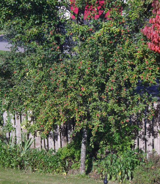
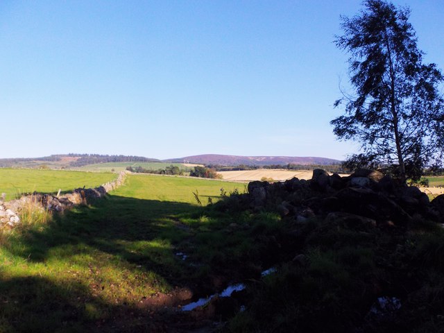
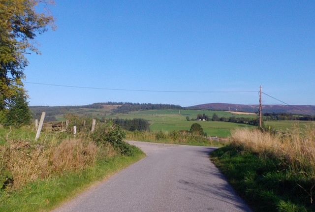
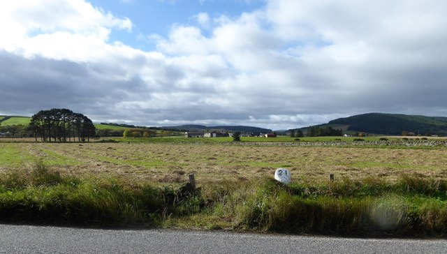
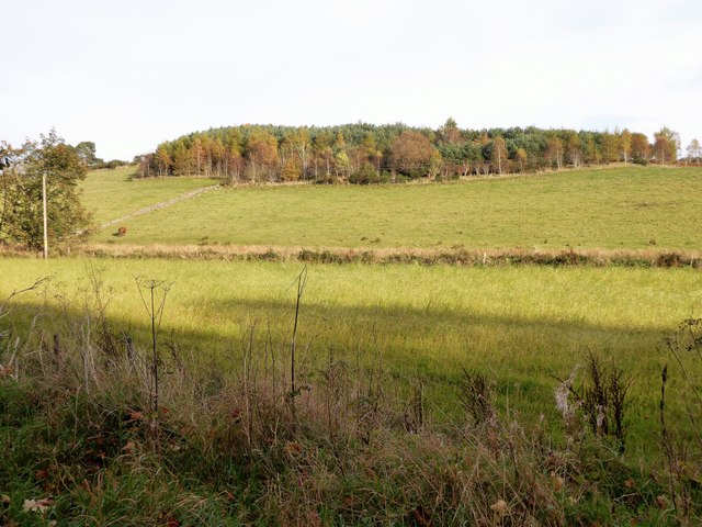
Crow Wood is a dense forest located in Aberdeenshire, Scotland. Spanning over a vast area of approximately 300 hectares, it is a captivating natural landscape that offers a haven for wildlife and a tranquil retreat for nature enthusiasts. The wood is predominantly comprised of native deciduous trees, including oak, birch, and rowan, which create a rich and diverse ecosystem.

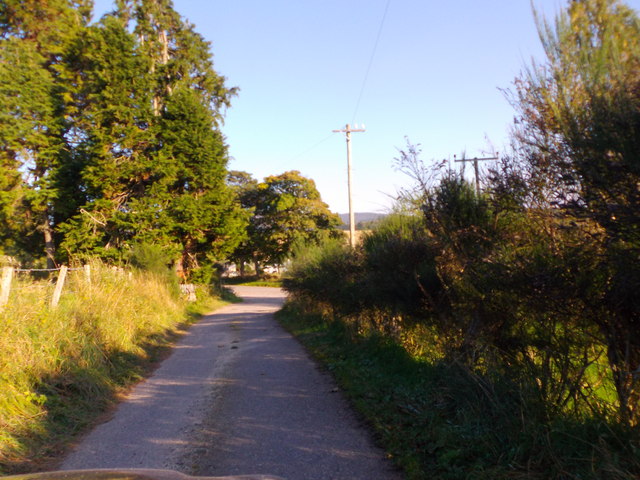
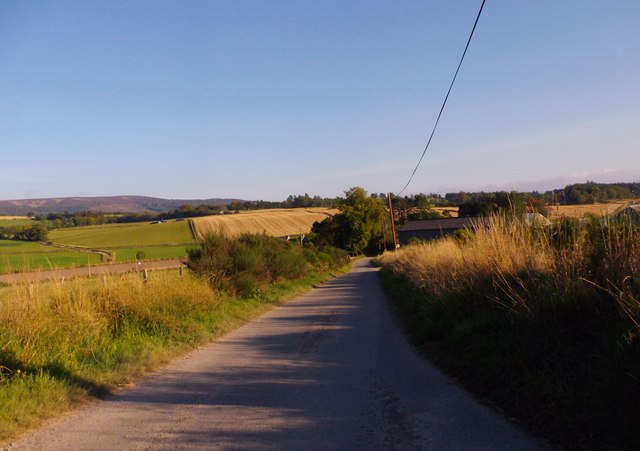
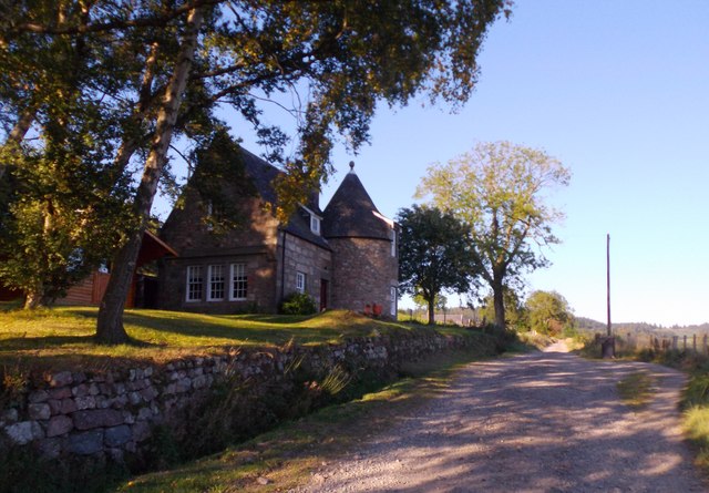
As visitors venture into Crow Wood, they are greeted by a network of well-maintained trails that wind their way through the forest. These pathways provide the perfect opportunity for walkers, hikers, and joggers to explore the wood's hidden treasures. The forest floor is carpeted with a variety of wildflowers and ferns, adding to the enchanting charm of the woodland.

The abundant wildlife in Crow Wood is a sight to behold. Visitors may encounter red squirrels darting between the trees, while the melodic songs of numerous bird species fill the air. The wood is also home to a variety of insects, including butterflies and dragonflies, making it an ideal spot for nature photography and observation.

For those with a thirst for adventure, Crow Wood offers activities such as orienteering and geocaching, allowing visitors to engage with the environment in a more interactive way. Additionally, the wood provides picnic areas and designated camping spots for those who wish to spend more time immersing themselves in the serenity of this natural wonder.

Overall, Crow Wood in Aberdeenshire is a captivating forest that showcases the beauty and diversity of Scotland's natural landscapes. It provides a sanctuary for wildlife, a place for recreational activities, and an escape from the hustle and bustle of everyday life.

If you have any feedback on the listing, please let us know in the comments section below.
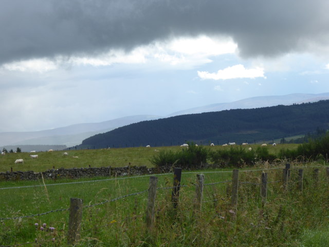
Crow Wood Images

Images are sourced within 2km of 57.10446/-2.5999438 or Grid Reference NJ6301. Thanks to Geograph Open Source API. All images are credited.

A980 at Torphins
A980 at Torphins
A980 towards Banchory
Road junction near Milton of Campfield
'New England' style autumn foliage At the start of October in NE Scotland.
'New England' style autumn foliage
At the start of October in NE Scotland.
Fruiting crab apple tree October in a Torphins garden.
Fruiting crab apple tree
October in a Torphins garden.
Field on Learney Estate With dry stone wall on left, and conservation pile of stones with tree on right.
Field on Learney Estate
With dry stone wall on left, and conservation pile of stones with tree on right.
A road junction near Fontenoy Lodge Where the road from West Learney meets the minor road between Torphins and Milltown of Learney.
A road junction near Fontenoy Lodge
Where the road from West Learney meets the minor road between Torphins and Milltown of Learney.
Fontenoy Lodge entrance to Learney House Off a minor road between Torpins and Milltown of Learney.
Fontenoy Lodge entrance to Learney House
Off a minor road between Torpins and Milltown of Learney.
Junction on road just west of Fontenoy Lodge Left for East Learney; right for Milltown of Learney
Junction on road just west of Fontenoy Lodge
Left for East Learney; right for Milltown of Learney
Approach to Milltown of Learney On a minor road from Fontenoy Lodge.
Approach to Milltown of Learney
On a minor road from Fontenoy Lodge.
Callibrae Cottage Cottage name sign on the garden fence.
Callibrae Cottage
Cottage name sign on the garden fence.
Tower House, Callibrae Name identified per RCAHMS website map.
Tower House, Callibrae
Name identified per RCAHMS website map.
Spuggie paradise! Yet another bumper brood of House Sparrows courtesy my garage roof. 25 years ago there was scarce a Sparrow to be seen in this end of Torphins.
Spuggie paradise!
Yet another bumper brood of House Sparrows courtesy my garage roof. 25 years ago there was scarce a Sparrow to be seen in this end of Torphins.
William Street, Torphins Near its junction with Station Road (B993).
William Street, Torphins
Near its junction with Station Road (B993).
Craigour Avenue, Torphins Plus ca change! Here is the same view 10 years ago. <a href="https://www.geograph.org.uk/photo/374564">NJ6201 : Welcome to Spring!</a>.
Craigour Avenue, Torphins
Plus ca change! Here is the same view 10 years ago. NJ6201 : Welcome to Spring!.
Storm cloud over Torphins View from B993 on Learney Hill, to forested Ord Fundlie on the south side of the village.
Storm cloud over Torphins
View from B993 on Learney Hill, to forested Ord Fundlie on the south side of the village.
Milestone near Torphins By A980, 21 miles west of Aberdeen; Nether Mains in the background.
Milestone near Torphins
By A980, 21 miles west of Aberdeen; Nether Mains in the background.
Learney Burn 'drain' Dividing two fields at the foot of wooded Craigmyle Hill.
Learney Burn 'drain'
Dividing two fields at the foot of wooded Craigmyle Hill.
Show me another place!

Crow Wood is located at Grid Ref: NJ6301 (Lat: 57.10446, Lng: -2.5999438)

Unitary Authority: Aberdeenshire

Police Authority: North East

What 3 Words

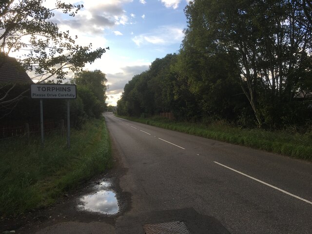
///expires.energy.funky. Near Torphins, Aberdeenshire
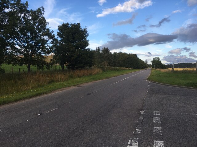
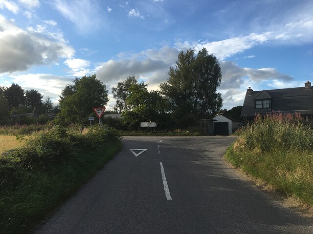
Nearby Locations

Crow Wood Church Wood

Related Wikis

Torphins railway station

Torphins railway station served the village of Torphins from 1859 to 1966 on the Deeside Railway that ran from Aberdeen (Joint) to Ballater. == History... ==

Torphins

Torphins ( tor-FINZ; Scottish Gaelic: Tòrr Fionn) is a village in Royal Deeside, Aberdeenshire, Scotland which lies about 22 miles (35 km) west of Aberdeen...

Glassel railway station

Glassel railway station is a disused railway station in Britain. It served Glassel House, the Mill of Beltie and the local farms and the inhabitants of...

Beltie Burn

The Beltie Burn is a burn in Aberdeenshire, Scotland, which below Torphins and Glassel is known as the Burn of Canny. It begins in the hill of Benaquhallie...

Nearby Amenities

Located within 500m of 57.10446,-2.5999438
Turning Circle
Lat/Long: 57.1002613/-2.5991521
Power: pole
Lat/Long: 57.1009478/-2.6024762
Power: pole
Lat/Long: 57.1005778/-2.602719
Power: pole
Lat/Long: 57.105612/-2.5991112
Power: pole
Lat/Long: 57.106326/-2.5990968
Power: pole
Lat/Long: 57.1070735/-2.5990927
Power: pole
Lat/Long: 57.1075886/-2.599961
Power: pole
Lat/Long: 57.1080847/-2.600786
Power: pole
Lat/Long: 57.1085662/-2.6016213
Power: pole
Lat/Long: 57.108183/-2.6044935
Power: pole
Lat/Long: 57.1077158/-2.5983513
The data included in this document is from www.openstreetmap.org. The data is made available under ODbL.

Have you been to Crow Wood?

Leave your review of Crow Wood below (or comments, questions and feedback).