Smithy Plantation

Wood, Forest in Berwickshire

Scotland

Smithy Plantation

Mature beech on fenceline south of Fairnybeds Wood This time in its summer garb!
Mature beech on fenceline south of Fairnybeds Wood Credit: ian shiell

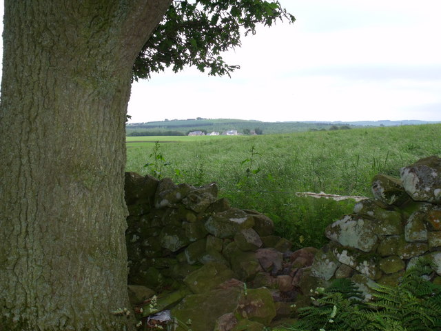
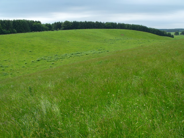
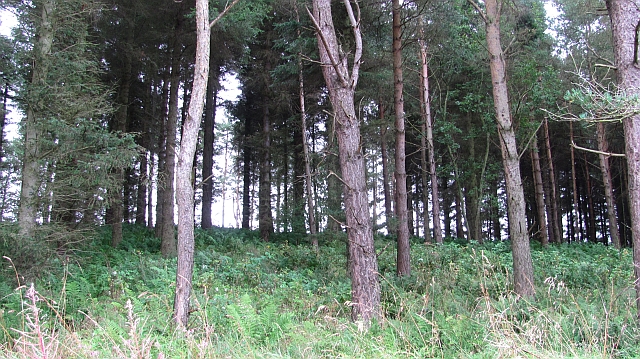
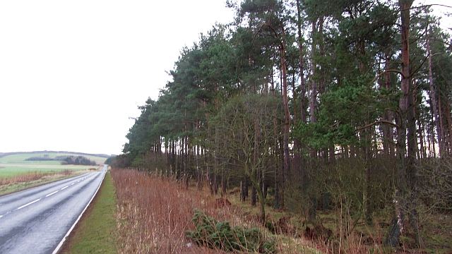
Smithy Plantation is a picturesque woodland located in the region of Berwickshire, Scotland. Covering an area of approximately 100 hectares, this forested area is a haven of tranquility and natural beauty. The plantation is named after the historic smithy that once stood nearby, serving the local community with its blacksmith services.

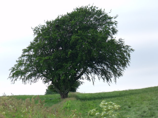
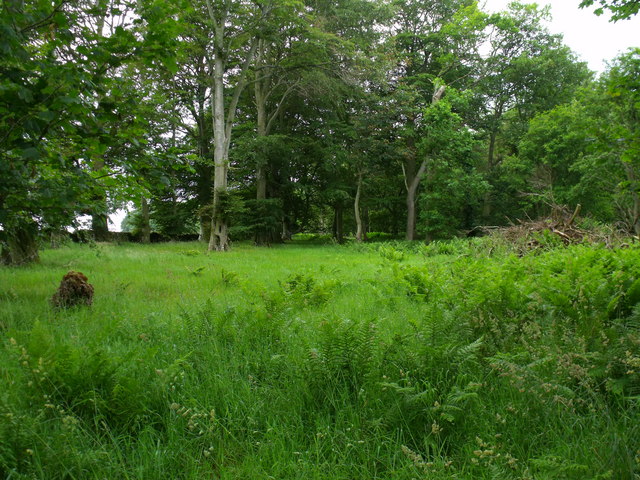
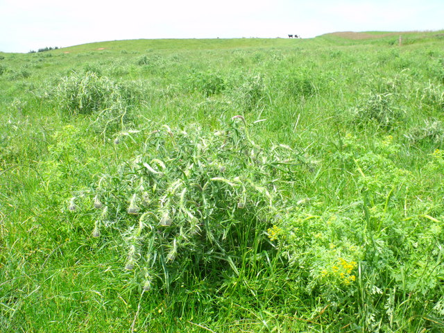
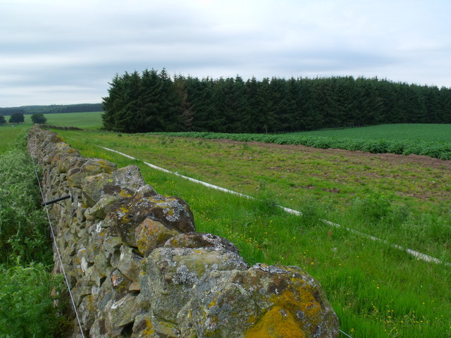
The woodland is predominantly composed of native tree species, including oak, birch, and beech, which create a diverse and enchanting landscape. The trees tower above the forest floor, providing shade and shelter for a variety of flora and fauna. The undergrowth is adorned with a carpet of wildflowers, adding bursts of color to the already scenic surroundings.

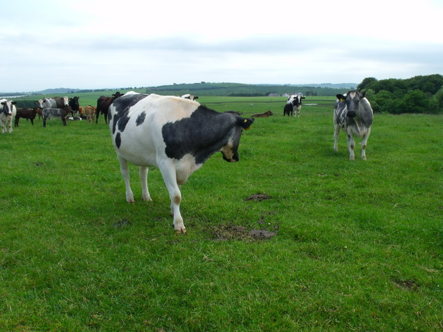
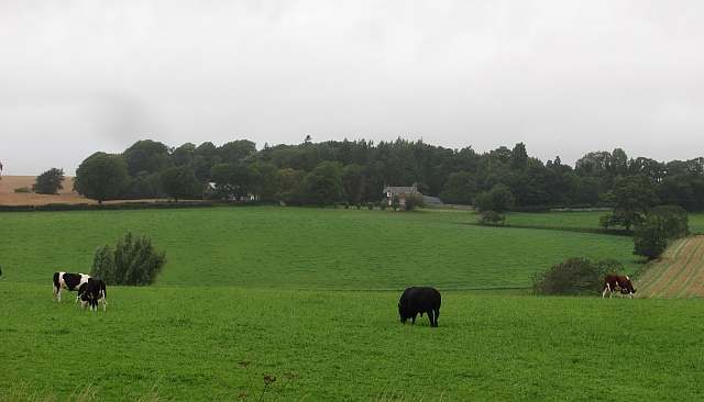
Smithy Plantation is teeming with wildlife, making it a popular destination for nature enthusiasts and birdwatchers. The forest provides a habitat for a wide range of bird species, including woodpeckers, owls, and various songbirds that fill the air with their melodious tunes. Foxes, deer, and squirrels can also be spotted throughout the woodland, adding to the richness of the ecosystem.

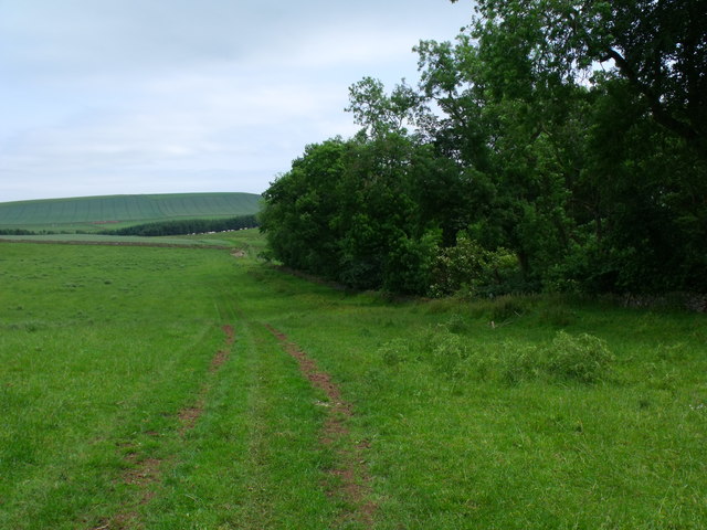
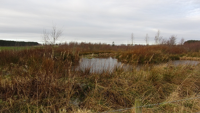
Visitors can explore the plantation through a network of well-maintained walking trails, allowing them to immerse themselves in the natural splendor of the area. These paths wind through the forest, leading to hidden glens, babbling brooks, and tranquil ponds, providing a sense of peace and serenity.

Overall, Smithy Plantation in Berwickshire is a captivating woodland retreat that offers a harmonious blend of natural beauty, wildlife, and recreational opportunities. Whether one seeks a peaceful stroll, a closer connection with nature, or simply a break from the hustle and bustle of daily life, this woodland sanctuary is sure to delight visitors of all ages.

If you have any feedback on the listing, please let us know in the comments section below.

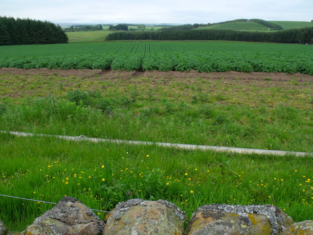
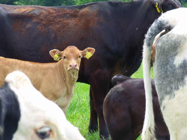
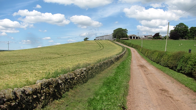
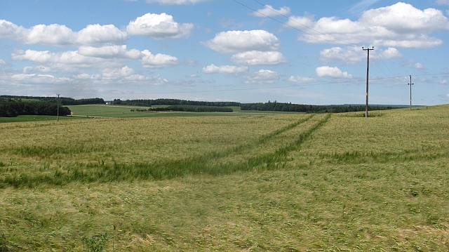
Smithy Plantation Images

Images are sourced within 2km of 55.703293/-2.5787035 or Grid Reference NT6345. Thanks to Geograph Open Source API. All images are credited.

Mature beech on fenceline south of Fairnybeds Wood This time in its summer garb!
Mature beech on fenceline south of Fairnybeds Wood
This time in its summer garb!
Is this anither yin o' thae Geographers Jessie? Herd of cows in occupation of point 191 seeking the breeze.
Is this anither yin o' thae Geographers Jessie?
Herd of cows in occupation of point 191 seeking the breeze.
Beechy clearing in Fairnybeds Wood near Macks Mill
Break in dyke bounding Fairnybeds Wood north of Macks Mill This may have originated as a route for wild animals such as deer but the wool on the single strand of wire shows that sheep have been the main traffic recently.
Break in dyke bounding Fairnybeds Wood north of Macks Mill
This may have originated as a route for wild animals such as deer but the wool on the single strand of wire shows that sheep have been the main traffic recently.
The national emblem in a sorry state National pride is one thing but beef can't eat thistles. These ones have been touched with poison.
The national emblem in a sorry state
National pride is one thing but beef can't eat thistles. These ones have been touched with poison.
Saddle between point 191 and Fairnybeds Wood Looking towards Shining Pool though I do not know what that feature is - probably not a pool judging by the contours.
Saddle between point 191 and Fairnybeds Wood
Looking towards Shining Pool though I do not know what that feature is - probably not a pool judging by the contours.
Farm track on north side of Fairnybeds Wood
South end of plantation near Shining Pool Notice the irrigation pipe parallel with the dyke - ready for the 'tattie' crop.
South end of plantation near Shining Pool
Notice the irrigation pipe parallel with the dyke - ready for the 'tattie' crop.
'Tattie' field north of Macks Mill
Calf in herd
Calf in herd
Fawside Road to a hilltop farm.
Fawside
Road to a hilltop farm.
Barley, Fawside
Barley, Fawside
Silage crop, Fawside It is a busy time, catching a short dry spell to cut and collect grass for winter feed. Soon these fields will be cut.
Silage crop, Fawside
It is a busy time, catching a short dry spell to cut and collect grass for winter feed. Soon these fields will be cut.
Small pine wood A short steep slope is used to grow trees.
Small pine wood
A short steep slope is used to grow trees.
Cattle, Bassendean
Cattle, Bassendean
Flight pool One of a pair recently dug to attract ducks. They were populated with mallard and teal on this occasion. The former conifer wood on the site was felled and replanted.
Flight pool
One of a pair recently dug to attract ducks. They were populated with mallard and teal on this occasion. The former conifer wood on the site was felled and replanted.
Houndslow Strip A big strip wood in a landscape of strip woods. It runs beside the A697.
Houndslow Strip
A big strip wood in a landscape of strip woods. It runs beside the A697.
Stubble Arable land south of the Lammermuir Hills.
Stubble
Arable land south of the Lammermuir Hills.
Show me another place!

Smithy Plantation is located at Grid Ref: NT6345 (Lat: 55.703293, Lng: -2.5787035)

Unitary Authority: The Scottish Borders

Police Authority: The Lothians and Scottish Borders

What 3 Words

///skidding.amplified.sparkle. Near Earlston, Scottish Borders

Related Wikis

Bassendean, Scottish Borders

Bassendean is a village in the Scottish Borders area of Scotland, 4 kilometres (2.5 mi) south of Westruther and 3 kilometres (1.9 mi) north-west of Gordon...

Houndslow

Houndslow is a hamlet in the Scottish Borders area of Scotland. It is situated on the A697, about 5 miles (8.0 km) west of Greenlaw, and 3 miles (4.8 km...

Gordon (NBR) railway station

Gordon railway station served the village of Gordon, Scottish Borders, Scotland from 1863 to 1948 on the Berwickshire Railway. == History == The station...

Gordon, Scottish Borders

Gordon is a village in the Scottish Borders area of Scotland, within the historic county of Berwickshire. The village sits on the crossroads of the A6105...

Greenknowe Tower

Greenknowe Tower is a 16th-century tower house, located just west of the village of Gordon, in the Scottish Borders. Although a roofless ruin, the stonework...

Gordon Moss

Gordon Moss is a nature reserve near Gordon, in the Scottish Borders area of Scotland, in the former Berwickshire. The moss is situated one mile west of...

Corsbie Castle

Corsbie Castle is a ruined 16th-century tower house, about 2.5 miles (4.0 km) west of Gordon, Scottish Borders, Scotland, and north of the Eden Water....

Westruther

Westruther is a village on the B6465, in the Scottish Borders area of Scotland, on the lower slopes of the Lammermuir Hills, in the former Berwickshire...

Nearby Amenities

Located within 500m of 55.703293,-2.5787035
Easter Bassendean
Place: isolated_dwelling
Lat/Long: 55.7029647/-2.5834635
Power: pole
Lat/Long: 55.7065101/-2.5838515
Power: pole
Lat/Long: 55.7058319/-2.5833068
Power: pole
Lat/Long: 55.7051263/-2.5827622
Power: pole
Lat/Long: 55.7044365/-2.5822328
Power: pole
Lat/Long: 55.7037496/-2.5816601
Power: pole
Lat/Long: 55.7035675/-2.5815253
Power: pole
Lat/Long: 55.7028734/-2.5809755
Power: pole
Lat/Long: 55.7021965/-2.5804283
Power: pole
Lat/Long: 55.7014048/-2.5798124
Power: pole
Lat/Long: 55.7006203/-2.5791965
Power: pole
Lat/Long: 55.6999706/-2.5786798
Power: pole
Lat/Long: 55.6994141/-2.5778883
Power: pole
Lat/Long: 55.6988777/-2.5771706
The data included in this document is from www.openstreetmap.org. The data is made available under ODbL.

Have you been to Smithy Plantation?

Leave your review of Smithy Plantation below (or comments, questions and feedback).