Swinnie Burnhead Plantation
Wood, Forest in Roxburghshire
Scotland
Swinnie Burnhead Plantation
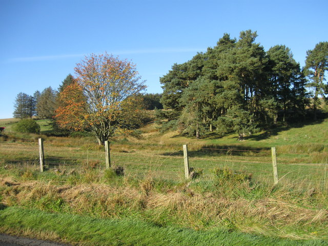
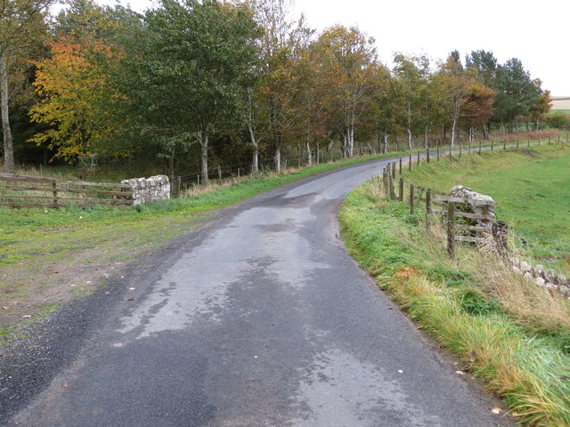
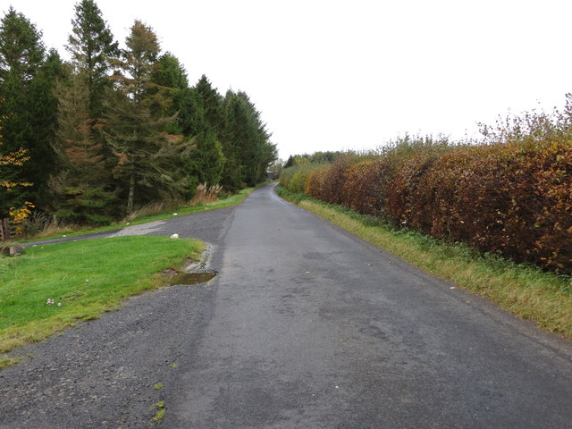
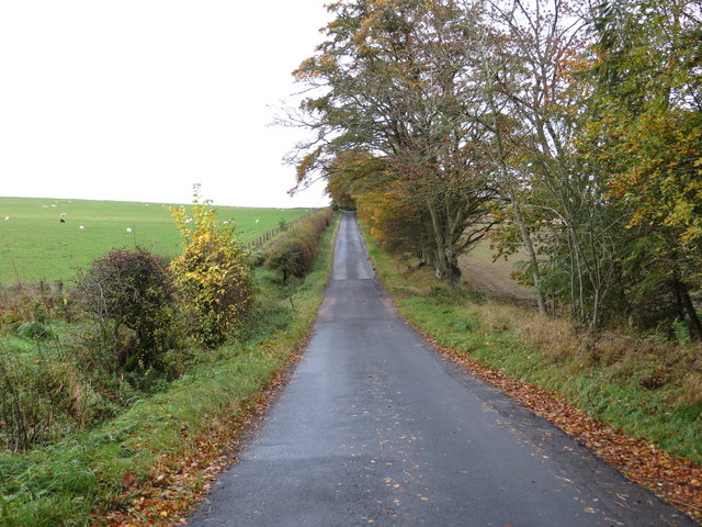
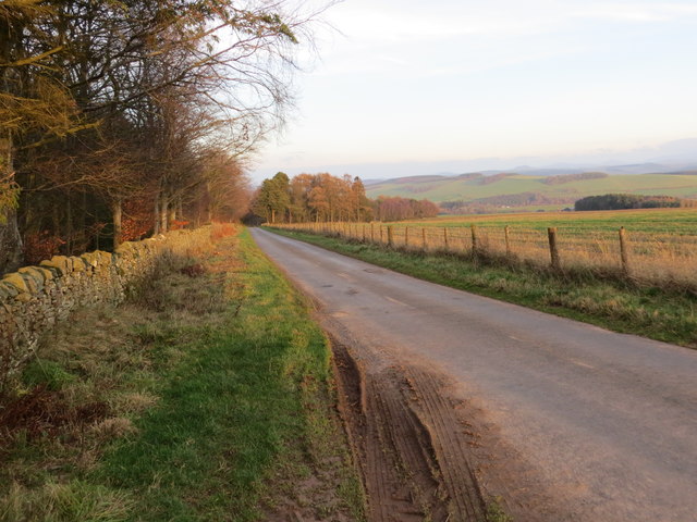
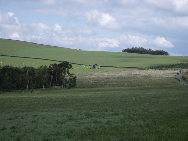
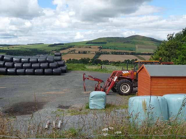
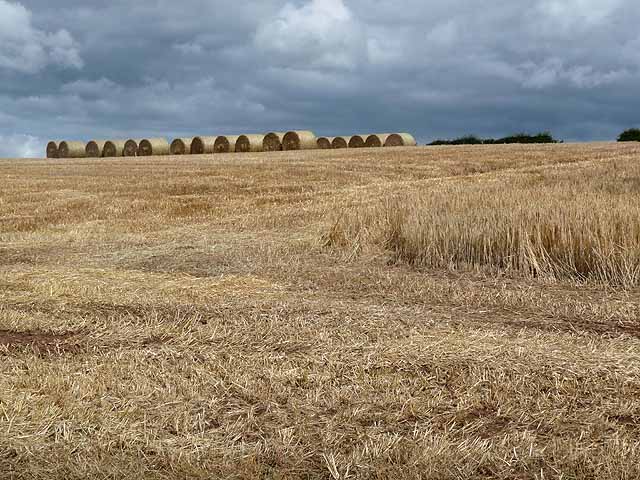
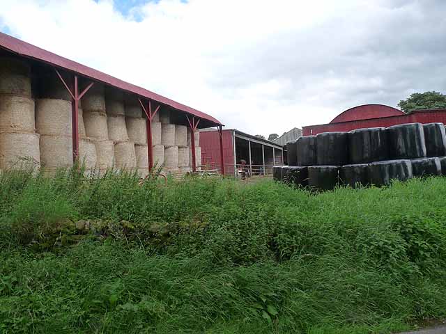
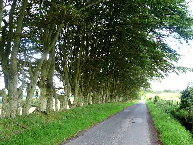
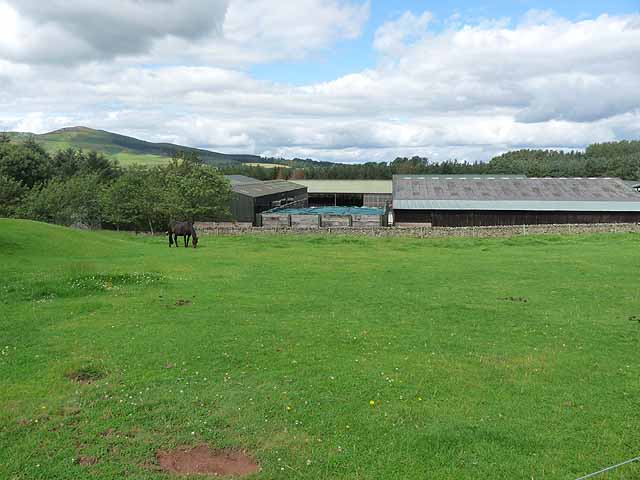
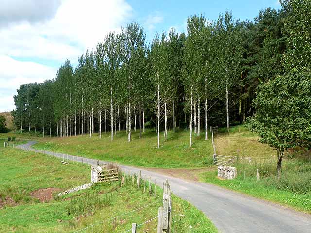
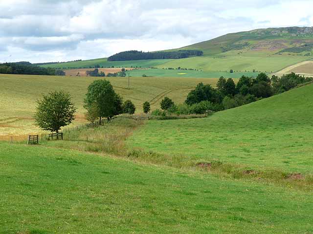
Swinnie Burnhead Plantation is a picturesque woodland located in Roxburghshire, Scotland. Covering an area of approximately 200 acres, this enchanting plantation is nestled amidst the rolling hills and breathtaking landscapes of the Scottish Borders.
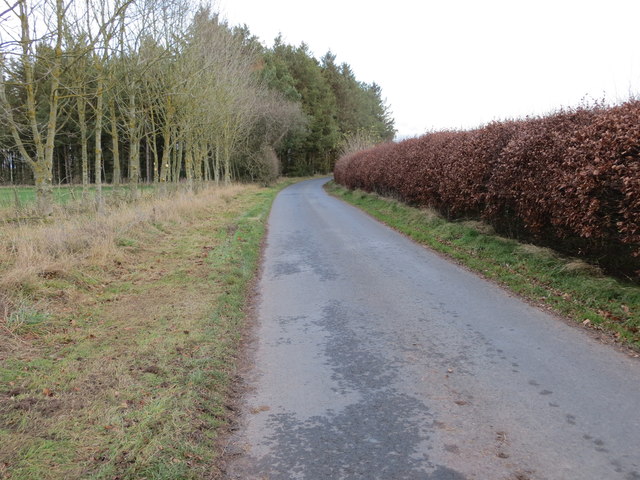
The plantation is predominantly composed of native tree species, such as oak, birch, and pine, which provide a diverse and thriving ecosystem for a variety of wildlife. The dense canopy of trees creates a serene and tranquil atmosphere, making it a popular destination for nature lovers and outdoor enthusiasts.
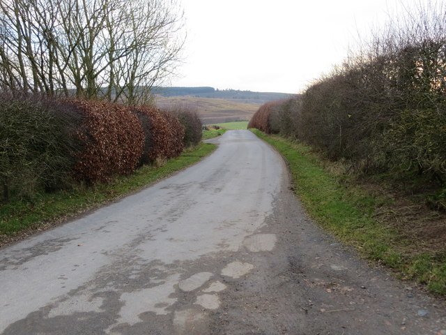
Visitors to Swinnie Burnhead Plantation can explore the numerous walking trails that meander through the woodland, offering stunning views of the surrounding countryside. These pathways cater to all levels of fitness and vary in length, providing options for short leisurely strolls or longer, more challenging hikes.
The plantation also serves as a haven for birdwatchers, as it is home to a wide range of bird species, including woodpeckers, owls, and various songbirds. The rustling leaves and chirping birdsong create a symphony of natural sounds, immersing visitors in the beauty of the outdoors.
Whether it is a peaceful escape from the hustle and bustle of daily life or an opportunity to indulge in outdoor activities, Swinnie Burnhead Plantation offers something for everyone. Its natural beauty, rich biodiversity, and tranquil ambiance make it a truly remarkable destination for those seeking solace and connection with nature.
If you have any feedback on the listing, please let us know in the comments section below.
Swinnie Burnhead Plantation Images
Images are sourced within 2km of 55.42292/-2.5932853 or Grid Reference NT6214. Thanks to Geograph Open Source API. All images are credited.
Swinnie Burnhead Plantation is located at Grid Ref: NT6214 (Lat: 55.42292, Lng: -2.5932853)
Unitary Authority: The Scottish Borders
Police Authority: The Lothians and Scottish Borders
What 3 Words
///shipped.surging.headlines. Near Jedburgh, Scottish Borders
Nearby Locations
Related Wikis

Abbotrule
Abbotrule is a hamlet south of the B6357 road, in the Scottish Borders area of Scotland, on Rule Burn, east of the Rule Water. Places nearby include Bedrule...

Fulton Tower
Fulton Tower is a ruined 16th century tower house, about 4.5 miles (7.2 km) south west of Jedburgh, Scottish Borders, Scotland, and about 2 miles (3.2...

Bairnkine
Bairnkine is a hamlet on the Jed Water in the Scottish Borders area of Scotland, on the A68, south of Jedburgh. Other places nearby include Abbotrule,...

Hallrule
Hallrule is a hamlet on the B6357 road, in the Scottish Borders area of Scotland, on the Rule Water, near Abbotrule, Bedrule Bonchester Bridge, Denholm...

Bedrule
Bedrule (Scottish Gaelic: Ruail Bheathaig) is a hamlet and civil parish in the historic county of Roxburghshire in the Scottish Borders area of Scotland...

Ferniehirst Castle
Ferniehirst Castle (sometimes spelled Ferniehurst) is an L-shaped construction on the east bank of the Jed Water, about a mile and a half south of Jedburgh...
Bedrule Castle
Bedrule Castle is a ruined 13th-century castle in the Rule Valley, in the Scottish Borders area of Scotland.The castle was built in the 13th century by...

Rubers Law
Rubers Law is a prominent, conical hill in the Scottish Borders area of south-east Scotland. It stands on the south bank of the River Teviot, between the...
Have you been to Swinnie Burnhead Plantation?
Leave your review of Swinnie Burnhead Plantation below (or comments, questions and feedback).