Easter Fodderlee March Wood

Wood, Forest in Roxburghshire

Scotland

Easter Fodderlee March Wood

Fulton Tower This telephoto shot of the ruined 16th century tower house was taken from the summit area of Rubers Law. For a closer view of the tower, see <a href="https://www.geograph.org.uk/photo/255052">NT6015 : The remains of Fulton Tower</a>.
Fulton Tower Credit: Walter Baxter

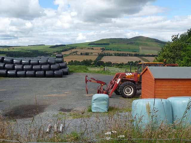
Easter Fodderlee March Wood is a picturesque woodland located in Roxburghshire, Scotland. Covering an area of approximately 200 acres, it is a significant natural asset in the region. The wood is situated near the village of Wood, and its tranquil setting offers a serene escape for nature enthusiasts and walkers.

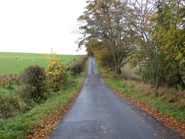
Easter Fodderlee March Wood is home to a diverse range of trees, including oak, ash, beech, and birch. The vibrant foliage creates a stunning display during the autumn months, attracting visitors from far and wide. The wood is also known for its rich wildlife, with various species of birds, squirrels, and deer frequently spotted throughout the area.

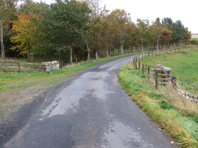
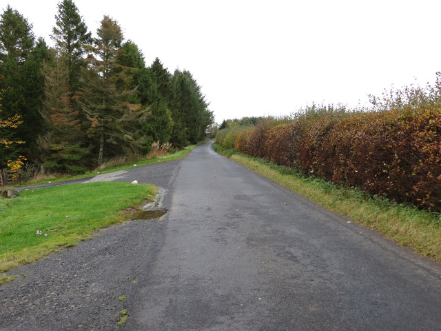
Visitors can explore the wood via a network of well-maintained footpaths and trails. These paths lead through the heart of the woodland, allowing visitors to immerse themselves in the natural beauty of the surroundings. There are several picnic areas and benches scattered throughout the wood, providing the perfect opportunity to relax and enjoy a meal amidst nature.

Easter Fodderlee March Wood is managed by local authorities, who prioritize the conservation of the woodland and its inhabitants. Educational programs and guided walks are occasionally organized to raise awareness about the importance of protecting the local ecosystem.

Overall, Easter Fodderlee March Wood offers a tranquil retreat for nature lovers and provides a valuable habitat for a wide variety of flora and fauna. Its accessibility and natural beauty make it a popular destination for locals and tourists alike.

If you have any feedback on the listing, please let us know in the comments section below.

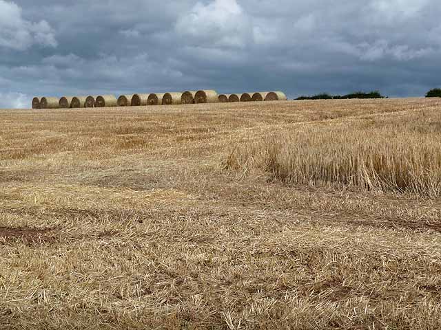
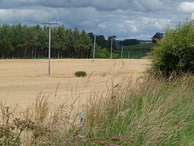
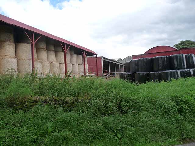
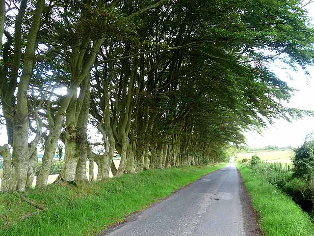
Easter Fodderlee March Wood Images

Images are sourced within 2km of 55.420763/-2.6134906 or Grid Reference NT6114. Thanks to Geograph Open Source API. All images are credited.

Fulton Tower This telephoto shot of the ruined 16th century tower house was taken from the summit area of Rubers Law. For a closer view of the tower, see <a href="https://www.geograph.org.uk/photo/255052">NT6015 : The remains of Fulton Tower</a>.
Fulton Tower
This telephoto shot of the ruined 16th century tower house was taken from the summit area of Rubers Law. For a closer view of the tower, see NT6015 : The remains of Fulton Tower.
The ruined remains of Abbotrule Church The church had belonged to Jedburgh Abbey from the early 12th century until its abandonment in 1777. The gable walls and bellcote are all that remain together with some old headstones inside the building and in the former churchyard.
The ruined remains of Abbotrule Church
The church had belonged to Jedburgh Abbey from the early 12th century until its abandonment in 1777. The gable walls and bellcote are all that remain together with some old headstones inside the building and in the former churchyard.
Old gravestones inside the ruins of Abbotrule Church These old stones are resting against the east gable wall.
Old gravestones inside the ruins of Abbotrule Church
These old stones are resting against the east gable wall.
Old grave slabs by the ruined Abbotrule Church These stones are on the south side of the ruined church. The grave marker on the left is a hogback stone.
Old grave slabs by the ruined Abbotrule Church
These stones are on the south side of the ruined church. The grave marker on the left is a hogback stone.
Sheep at Abbotrule A large grazing field with the remains of Abbotrule Church on the right.
Sheep at Abbotrule
A large grazing field with the remains of Abbotrule Church on the right.
Gravestones by the remains of Abbotrule Church The stones are on the south side of the ruined church.
Gravestones by the remains of Abbotrule Church
The stones are on the south side of the ruined church.
The ruined remains of Abbotrule Church The church had belonged to Jedburgh Abbey from the early 12th century until its abandonment in 1777. The gable walls and bellcote are all that remain together with some old headstones inside the building and in the former churchyard. This was viewed in early December 2017. For a similar view in October 2006 see <a href="https://www.geograph.org.uk/photo/255079">NT6112 : The remains of Abbotrule Church</a>.
The ruined remains of Abbotrule Church
The church had belonged to Jedburgh Abbey from the early 12th century until its abandonment in 1777. The gable walls and bellcote are all that remain together with some old headstones inside the building and in the former churchyard. This was viewed in early December 2017. For a similar view in October 2006 see NT6112 : The remains of Abbotrule Church.
Field containing the remains of Fulton Tower Looking north-eastward
Field containing the remains of Fulton Tower
Looking north-eastward
Road and Bridge crossing Fodderlee Sike Looking south-eastward.
Road and Bridge crossing Fodderlee Sike
Looking south-eastward.
Minor road at High Fodderlee Looking north-westward.
Minor road at High Fodderlee
Looking north-westward.
Minor road at Bowshot Looking south-eastward.
Minor road at Bowshot
Looking south-eastward.
Farm yard near High Fodderlee Farm yard close, but not adjacent, to High Fodderlee Farm. The distinctive summit of Rubers Law <a href="https://www.geograph.org.uk/gridref/NT5815">NT5815</a> can be seen on the skyline beyond the valley of the Rule Water.
Farm yard near High Fodderlee
Farm yard close, but not adjacent, to High Fodderlee Farm. The distinctive summit of Rubers Law NT5815 can be seen on the skyline beyond the valley of the Rule Water.
Farm buildings at High Fodderlee This appears to be a new farm, possibly associated with a timber business.
Farm buildings at High Fodderlee
This appears to be a new farm, possibly associated with a timber business.
Fulton Tower The remains of a 16th century tower house.
Fulton Tower
The remains of a 16th century tower house.
Barley field above Fodderlee Syke A partly-harvested field of barley. Bales of straw can be seen at the top of the field.
Barley field above Fodderlee Syke
A partly-harvested field of barley. Bales of straw can be seen at the top of the field.
Field of barley in the valley of the Rule Water Beside the road south of Fulton Tower.
Field of barley in the valley of the Rule Water
Beside the road south of Fulton Tower.
Barns at Ruletownhead Farm
Country road near Ruletownhead A very fine, but one-sided avenue of mature beech trees.
Country road near Ruletownhead
A very fine, but one-sided avenue of mature beech trees.
Show me another place!

Easter Fodderlee March Wood is located at Grid Ref: NT6114 (Lat: 55.420763, Lng: -2.6134906)

Unitary Authority: The Scottish Borders

Police Authority: The Lothians and Scottish Borders

What 3 Words

///flotation.muddy.roses. Near Jedburgh, Scottish Borders

Related Wikis

Abbotrule

Abbotrule is a hamlet south of the B6357 road, in the Scottish Borders area of Scotland, on Rule Burn, east of the Rule Water. Places nearby include Bedrule...
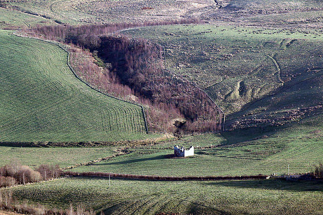
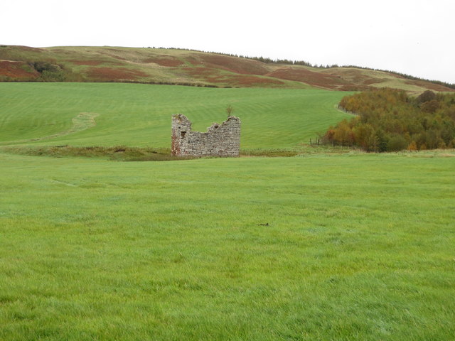
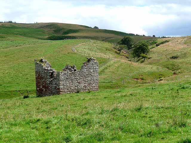
Fulton Tower

Fulton Tower is a ruined 16th century tower house, about 4.5 miles (7.2 km) south west of Jedburgh, Scottish Borders, Scotland, and about 2 miles (3.2...

Hallrule

Hallrule is a hamlet on the B6357 road, in the Scottish Borders area of Scotland, on the Rule Water, near Abbotrule, Bedrule Bonchester Bridge, Denholm...

Rubers Law

Rubers Law is a prominent, conical hill in the Scottish Borders area of south-east Scotland. It stands on the south bank of the River Teviot, between the...

Nearby Amenities

Located within 500m of 55.420763,-2.6134906
Give Way
Direction: forward
Lat/Long: 55.4223953/-2.6172501
Power: pole
Lat/Long: 55.424686/-2.6153914
Power: pole
Lat/Long: 55.4245315/-2.6153227
Power: pole
Lat/Long: 55.4239494/-2.6158547
Power: pole
Lat/Long: 55.423402/-2.6163153
Power: pole
Lat/Long: 55.422833/-2.6167862
The data included in this document is from www.openstreetmap.org. The data is made available under ODbL.

Have you been to Easter Fodderlee March Wood?

Leave your review of Easter Fodderlee March Wood below (or comments, questions and feedback).