Stell Plantation
Wood, Forest in Roxburghshire
Scotland
Stell Plantation
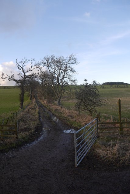
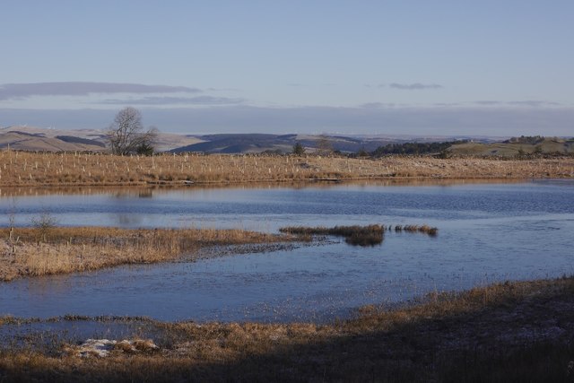
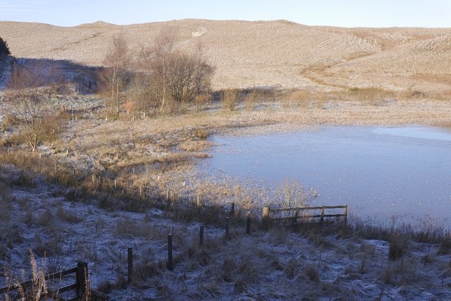
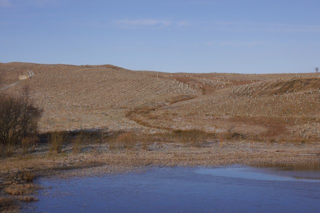
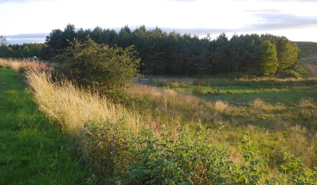
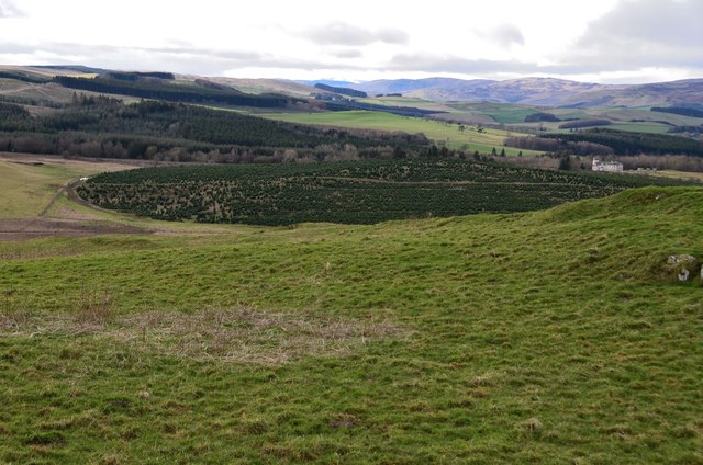
Stell Plantation is a picturesque woodland area located in the heart of Roxburghshire, Scotland. Covering an expansive area of approximately 200 acres, this enchanting forest is known for its diverse range of tree species and its tranquil atmosphere.
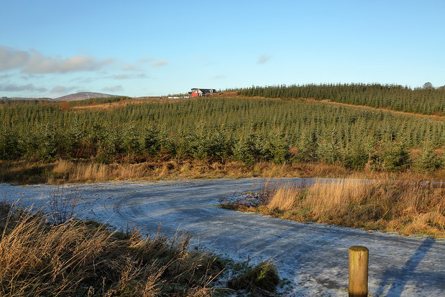
The woodland is predominantly made up of native trees such as oak, ash, and birch, which provide a rich and varied habitat for a wide array of wildlife. Birdwatchers will be delighted by the presence of species such as woodpeckers, owls, and various songbirds, while nature enthusiasts can spot mammals like red squirrels, roe deer, and even the occasional badger.
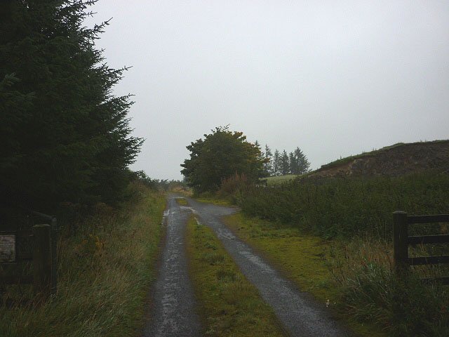
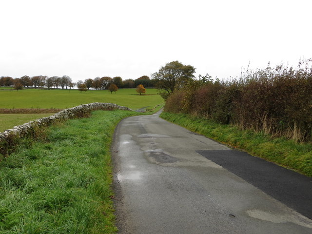
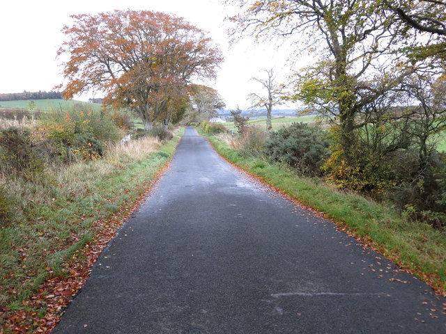
The plantation offers visitors a network of well-maintained walking trails, allowing them to explore the beauty of the woods at their own pace. These paths wind through the forest, offering stunning glimpses of sunlight filtering through the foliage and providing a sense of peace and serenity.
Stell Plantation is an ideal destination for outdoor activities such as hiking, picnicking, and wildlife observation. The forest also serves as an educational site, with interpretive signs providing information about the flora and fauna found within the woodland.
Located in close proximity to the charming town of Hawick, Stell Plantation offers a peaceful escape from the hustle and bustle of everyday life. Whether you are a nature lover, a keen photographer, or simply seeking a tranquil retreat, this woodland paradise is sure to captivate your senses and leave you with unforgettable memories.
If you have any feedback on the listing, please let us know in the comments section below.
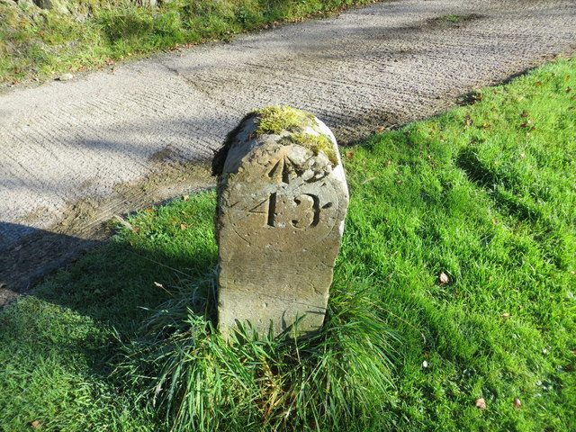
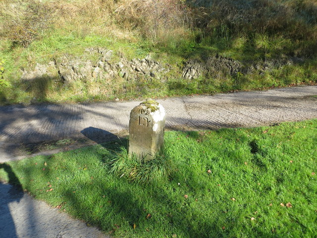
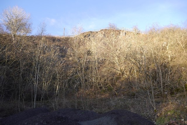
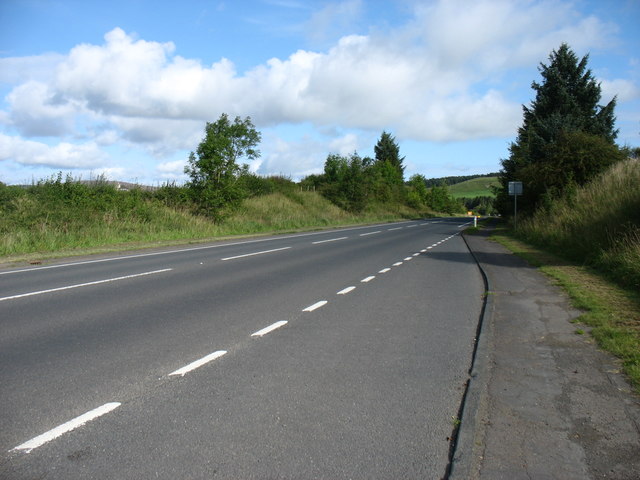
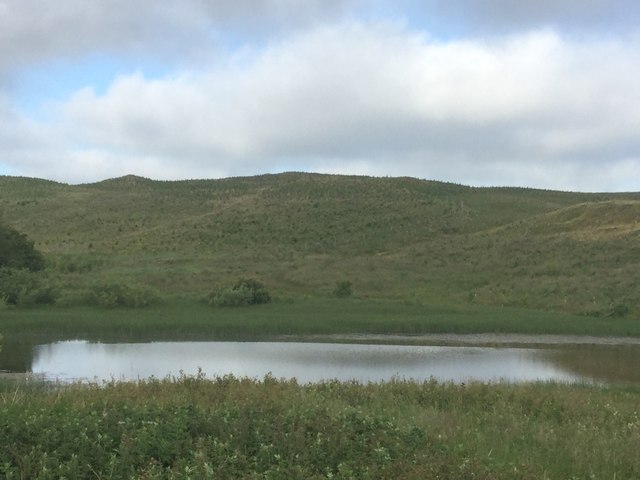
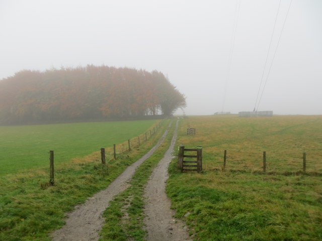
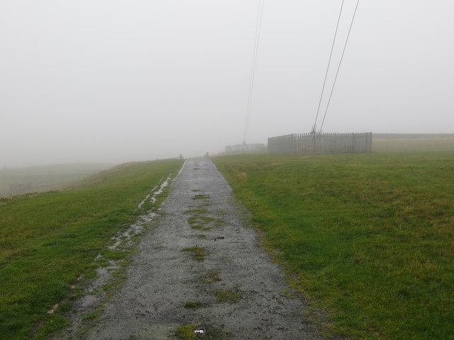
Stell Plantation Images
Images are sourced within 2km of 55.516856/-2.8259643 or Grid Reference NT4725. Thanks to Geograph Open Source API. All images are credited.
Stell Plantation is located at Grid Ref: NT4725 (Lat: 55.516856, Lng: -2.8259643)
Unitary Authority: The Scottish Borders
Police Authority: The Lothians and Scottish Borders
What 3 Words
///mainly.dock.spending. Near Selkirk, Scottish Borders
Nearby Locations
Related Wikis
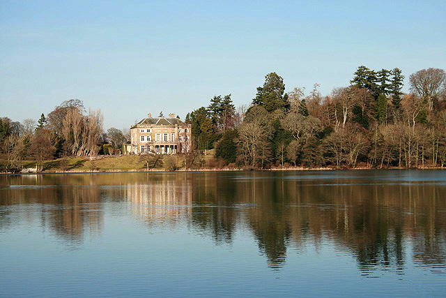
The Haining
The Haining is a country house and estate in Selkirk in the Scottish Borders. The present house dates from the 1790s, and was a property of the Pringle...

Woll
Woll is a village on the Ale Water, off the A7, in the Ettrick Forest, north of Hawick, and south of Selkirk in the Scottish Borders area of Scotland....

Selkirk Town House
Selkirk Town House is a municipal building in the Market Place, Selkirk, Scottish Borders, Scotland. The structure, which is used as a local history museum...
Selkirk High School
Selkirk High School is a high school in Selkirk, Scotland, which serves the town and its surrounding area including the Ettrick and Yarrow valleys and...

County Buildings, Selkirk
County Buildings is a municipal structure in Ettrick Terrace, Selkirk, Scottish Borders, Scotland. The complex, which was the headquarters of Selkirkshire...
Bowismiln
Bowismiln is a village in the Scottish Borders area of Scotland. == See also == List of places in the Scottish Borders List of places in Scotland ��2...

Selkirk, Scottish Borders
Selkirk is a town and historic royal burgh in the Scottish Borders council district of southeastern Scotland. It lies on the Ettrick Water, a tributary...
Philiphaugh Stadium
Philiphaugh is a rugby union ground in the Royal Burgh of Selkirk, Scotland with a capacity of approximately 6,000. It is the home of Selkirk Rugby Football...
Nearby Amenities
Located within 500m of 55.516856,-2.8259643Have you been to Stell Plantation?
Leave your review of Stell Plantation below (or comments, questions and feedback).