Castle Wood

Wood, Forest in Angus

Scotland

Castle Wood

Farmland at Kirkton of Lundie
Farmland at Kirkton of Lundie Credit: Douglas Nelson

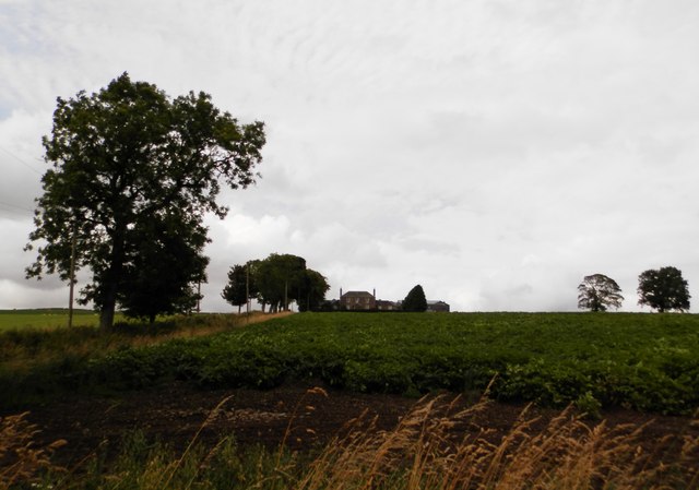
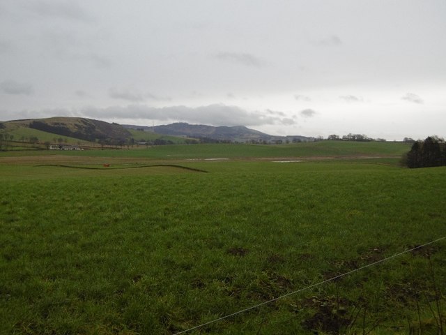
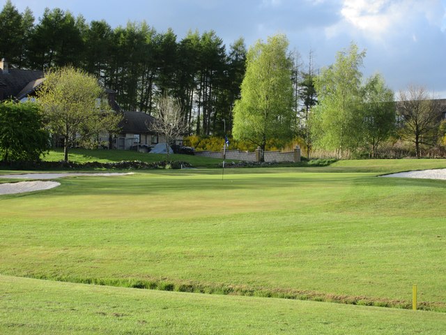
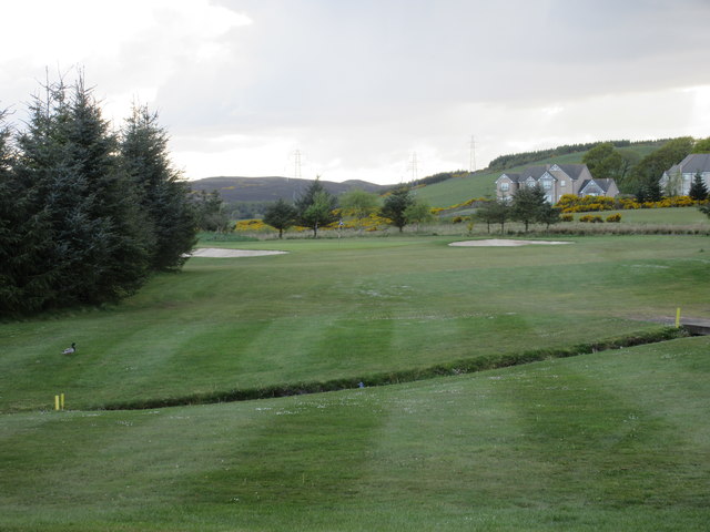
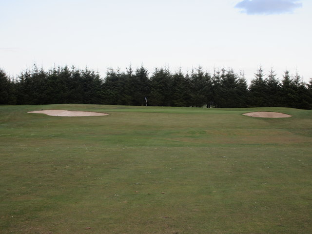
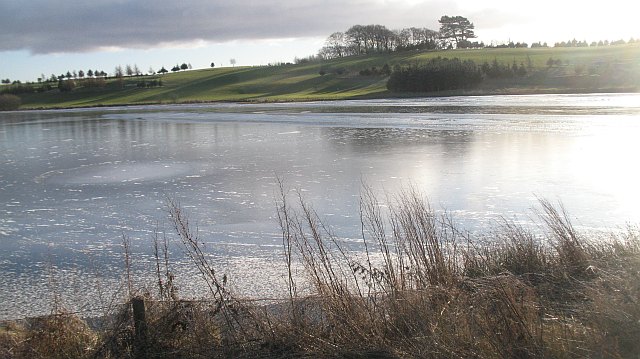
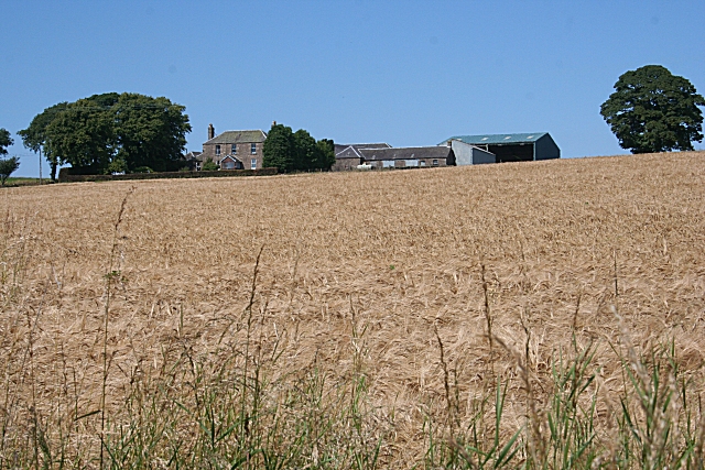
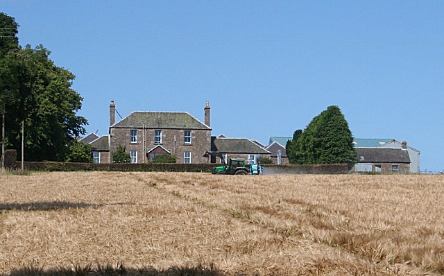
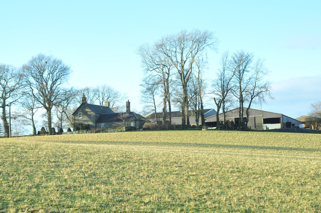
Castle Wood, Angus, also known as Wood Forest, is a picturesque woodland located in the county of Angus, Scotland. Spanning over an area of approximately 500 acres, this enchanting forest is nestled in the heart of the Angus Glens, amidst the stunning landscapes of the Scottish Highlands.

Castle Wood boasts a rich history dating back to ancient times. As its name suggests, the forest is home to the ruins of a medieval castle, which adds to its allure and intrigue. The castle ruins, although now in a state of decay, offer a glimpse into the region's past and attract history enthusiasts and curious visitors alike.

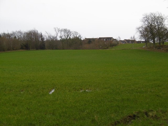
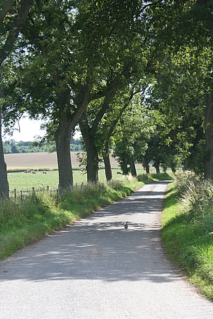
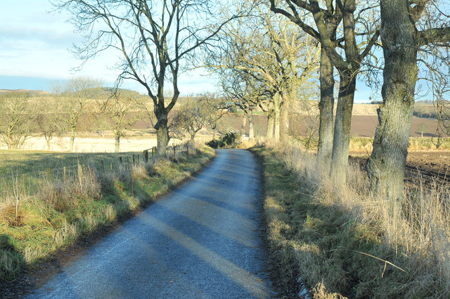
The forest itself is a haven of natural beauty, with a diverse range of flora and fauna. Ancient oak and beech trees tower over the forest floor, providing shade and shelter to a variety of woodland creatures. The forest echoes with the sounds of chirping birds, rustling leaves, and the occasional scurrying of small mammals.

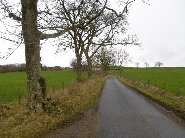
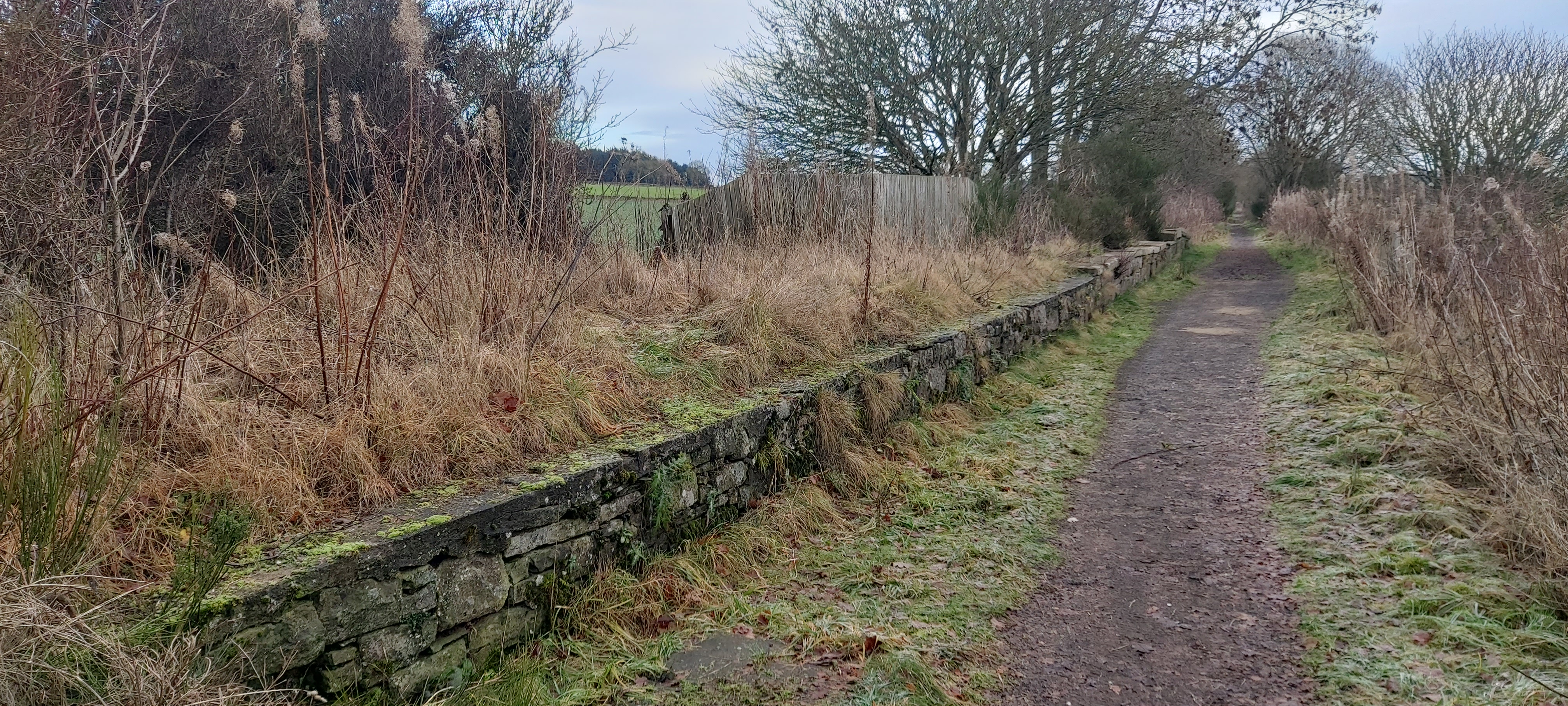
Walking through Castle Wood is a truly immersive experience. Numerous walking trails wind their way through the forest, offering visitors the opportunity to explore its hidden nooks and crannies. The trails are well-maintained and suitable for individuals of all ages and fitness levels. As visitors wander through the forest, they may stumble upon tranquil streams, meandering pathways, and breathtaking viewpoints that offer panoramic views of the surrounding countryside.

Whether it is to connect with nature, uncover history, or simply enjoy a peaceful stroll, Castle Wood, Angus, is a destination that captivates the senses and leaves a lasting impression on all who visit.

If you have any feedback on the listing, please let us know in the comments section below.

Castle Wood Images

Images are sourced within 2km of 56.512592/-3.1186474 or Grid Reference NO3136. Thanks to Geograph Open Source API. All images are credited.

Farmland at Kirkton of Lundie
Yellow road, Ledyatt Road out of Lundie towards the main road to Dundee.
Yellow road, Ledyatt
Road out of Lundie towards the main road to Dundee.
Field by Ledyatt Piperdam houses on the skyline.
Field by Ledyatt
Piperdam houses on the skyline.
Field near Ledyatt View towards Craigowl.
Field near Ledyatt
View towards Craigowl.
Piperdam New Course, 11th hole The eleventh hole at Piperdam looking to the green from short of the ditch.
Piperdam New Course, 11th hole
The eleventh hole at Piperdam looking to the green from short of the ditch.
Piperdam New Course, 14th hole The long fourteenth hole at Piperdam looking to the green over the pond.
Piperdam New Course, 14th hole
The long fourteenth hole at Piperdam looking to the green over the pond.
Piperdam New Course, 15th hole The short fifteenth hole at Piperdam from tee to green.
Piperdam New Course, 15th hole
The short fifteenth hole at Piperdam from tee to green.
Piperdam New Course, 16th hole The sixteenth hole at Piperdam looking to the green.
Piperdam New Course, 16th hole
The sixteenth hole at Piperdam looking to the green.
Ledyatt Farm
Ledyatt Farm
Piper Dam The loch had been frozen for some time, but open water was beginning to appear.
Piper Dam
The loch had been frozen for some time, but open water was beginning to appear.
Raptor perch, Piper Dam Old tree propped up by the loch side. Popular with buzzards, and if the local signage is anything to go by, ospreys in season.
Raptor perch, Piper Dam
Old tree propped up by the loch side. Popular with buzzards, and if the local signage is anything to go by, ospreys in season.
Kirkton of Lundie Farm The farm is about a quarter of a mile from the kirkton itself, on rising ground with an open view to the south.
Kirkton of Lundie Farm
The farm is about a quarter of a mile from the kirkton itself, on rising ground with an open view to the south.
Kirkton of Lundie Farm House The house has a Georgian look about it, though the later addition of a porch doesn't quite fit in. A tractor is busy spraying the barley in the foreground field.
Kirkton of Lundie Farm House
The house has a Georgian look about it, though the later addition of a porch doesn't quite fit in. A tractor is busy spraying the barley in the foreground field.
Country Avenue The road to the A923 junction at Easter Ledyatt is lined with mature trees, providing welcome shade on a hot day. Note the partridge scurrying away in the middle of the road.
Country Avenue
The road to the A923 junction at Easter Ledyatt is lined with mature trees, providing welcome shade on a hot day. Note the partridge scurrying away in the middle of the road.
Whitewashed House This house stands a little apart on the eastern edge of the tiny kirkton of Lundie. It is quite difficult to photograph because there is a large fuel tank in the middle of the garden; but from this angle the tank is hidden by the shrubs by the roadside.
Whitewashed House
This house stands a little apart on the eastern edge of the tiny kirkton of Lundie. It is quite difficult to photograph because there is a large fuel tank in the middle of the garden; but from this angle the tank is hidden by the shrubs by the roadside.
Piperdam ice The still-frozen edge of Piperdam, with housing in the modern Piperdam village and golf resort in the background.
Piperdam ice
The still-frozen edge of Piperdam, with housing in the modern Piperdam village and golf resort in the background.
Minor road from Ledyatt to Lundie
Ledyatt Farm
Ledyatt Farm
Show me another place!

Castle Wood is located at Grid Ref: NO3136 (Lat: 56.512592, Lng: -3.1186474)

Unitary Authority: Angus

Police Authority: Tayside

What 3 Words

///reserve.cabbages.drag. Near Muirhead, Angus

Nearby Locations

Castle Wood

Related Wikis

Lundie

Lundie is a parish and small settlement in Angus, Scotland, 10 miles (16 km) northwest of Dundee, situated at the head of the Dighty valley in the Sidlaws...

Lundie Kirk

Lundie Kirk was the parish church of Lundie, Angus, in Scotland from the 12th century until 2017. The church was constructed in Romanesque style in the...

Dundee West (UK Parliament constituency)

Dundee West is a constituency of the House of Commons of the Parliament of the United Kingdom. It elects one Member of Parliament (MP) by the first-past...

Auchterhouse

Auchterhouse is a village, community, and civil parish in the Scottish council area of Angus, located 7.3 miles (11.7 km) north west of Dundee, 9.5 miles...

Pitlyal Loch

Pitlyal Loch also known as Round Loch is a small lochan in Sidlaw Hills in Angus. It is located southeast of Long Loch and is almost directly south of...

Auchterhouse railway station

Auchterhouse railway station served the village of Auchterhouse in the Scottish county of Angus. Services were provided by the Dundee and Newtyle Railway...

Dronley railway station

Dronley railway station served the village of Dronley, Angus, Scotland from 1860 to 1955 on the Dundee and Newtyle Railway. == History == The station opened...

Fowlis Castle

Fowlis Castle is situated five miles north-west of Dundee, Scotland, in the hamlet of Fowlis. It is a tower house dating from the seventeenth century....

Nearby Amenities

Located within 500m of 56.512592,-3.1186474
Lundie Castle
Place: isolated_dwelling
Lat/Long: 56.511987/-3.1241949
Power: pole
Lat/Long: 56.5111476/-3.1113066
Power: pole
Lat/Long: 56.5113454/-3.1125514
Power: pole
Lat/Long: 56.5115348/-3.113832
Power: pole
Lat/Long: 56.5117751/-3.114982
Power: pole
Lat/Long: 56.5122541/-3.1150332
Power: pole
Lat/Long: 56.5125269/-3.114982
Power: pole
Lat/Long: 56.5132702/-3.1148718
Power: pole
Lat/Long: 56.5137648/-3.1148078
Power: pole
Lat/Long: 56.5142975/-3.1147438
Power: pole
Lat/Long: 56.5148345/-3.1146336
Power: pole
Lat/Long: 56.5154746/-3.114795
Power: pole
Lat/Long: 56.5160751/-3.114941
Power: pole
Lat/Long: 56.5165754/-3.1150614
Power: pole
Lat/Long: 56.5150747/-3.1158707
Power: pole
Lat/Long: 56.5152386/-3.1170284
Power: pole
Lat/Long: 56.5154011/-3.1182373
Power: pole
Lat/Long: 56.515558/-3.1194026
Power: pole
Lat/Long: 56.5157162/-3.1205654
Power: pole
Lat/Long: 56.515883/-3.121782
Power: pole
Lat/Long: 56.5159875/-3.1230677
Power: pole
Lat/Long: 56.5153517/-3.1243048
Power: pole
Lat/Long: 56.5145293/-3.1240768
Power: pole
Lat/Long: 56.5138481/-3.1238924
Power: pole
Lat/Long: 56.5134963/-3.1234698
Power: pole
Lat/Long: 56.5131373/-3.1230856
Power: pole
Lat/Long: 56.5124491/-3.1230959
Power: pole
Lat/Long: 56.5120421/-3.1231266
Power: pole
Lat/Long: 56.5113426/-3.1231087
Power: pole
Lat/Long: 56.5105809/-3.1230959
Power: pole
Lat/Long: 56.5099661/-3.1230984
Power: pole
Lat/Long: 56.5091634/-3.1230856
The data included in this document is from www.openstreetmap.org. The data is made available under ODbL.

Have you been to Castle Wood?

Leave your review of Castle Wood below (or comments, questions and feedback).