Wickford
Settlement in Essex Basildon
England
Wickford

Wickford is a town located in the county of Essex, in the eastern part of England. Situated approximately 30 miles east of London, it serves as a commuter town for many residents who work in the capital. With a population of around 33,000 people, Wickford has a thriving community that combines modern amenities with a rich historical background.
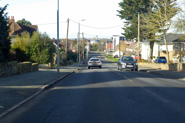
The town is known for its picturesque countryside, as it lies in close proximity to the River Crouch and the nearby marshes. Wickford benefits from its convenient location, being easily accessible by road via the A127 and by rail through its own train station, which provides regular services to London Liverpool Street.
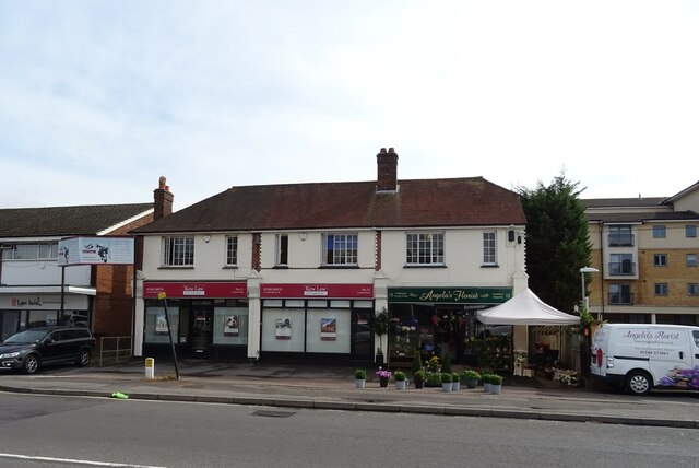
Wickford offers a range of amenities and services to cater to its residents' needs. The town center features a variety of shops, including both independent retailers and well-known chain stores. There are also several supermarkets, restaurants, and cafes for locals and visitors to enjoy. In terms of education, Wickford is home to several primary schools and secondary schools, ensuring that children have access to quality education.
For leisure and recreation, Wickford boasts numerous green spaces and parks, such as the Wick Country Park and the nearby Hanningfield Reservoir, which offer opportunities for walking, cycling, and birdwatching. The town also has a vibrant community center that hosts various events and activities throughout the year.
Overall, Wickford provides a pleasant and well-connected place to live, with its beautiful surroundings, convenient transport links, and a range of amenities that cater to its residents' needs.
If you have any feedback on the listing, please let us know in the comments section below.
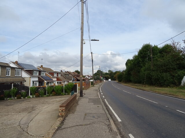
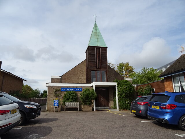
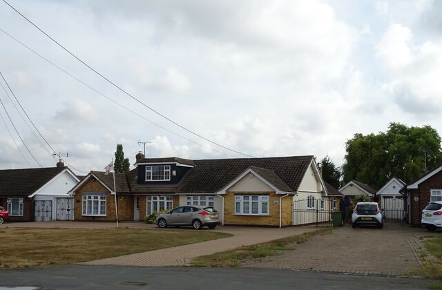
Wickford Images
Images are sourced within 2km of 51.613207/0.52076019 or Grid Reference TQ7493. Thanks to Geograph Open Source API. All images are credited.


Wickford is located at Grid Ref: TQ7493 (Lat: 51.613207, Lng: 0.52076019)
Administrative County: Essex
District: Basildon
Police Authority: Essex
What 3 Words
///head.kind.award. Near Wickford, Essex
Nearby Locations
Related Wikis
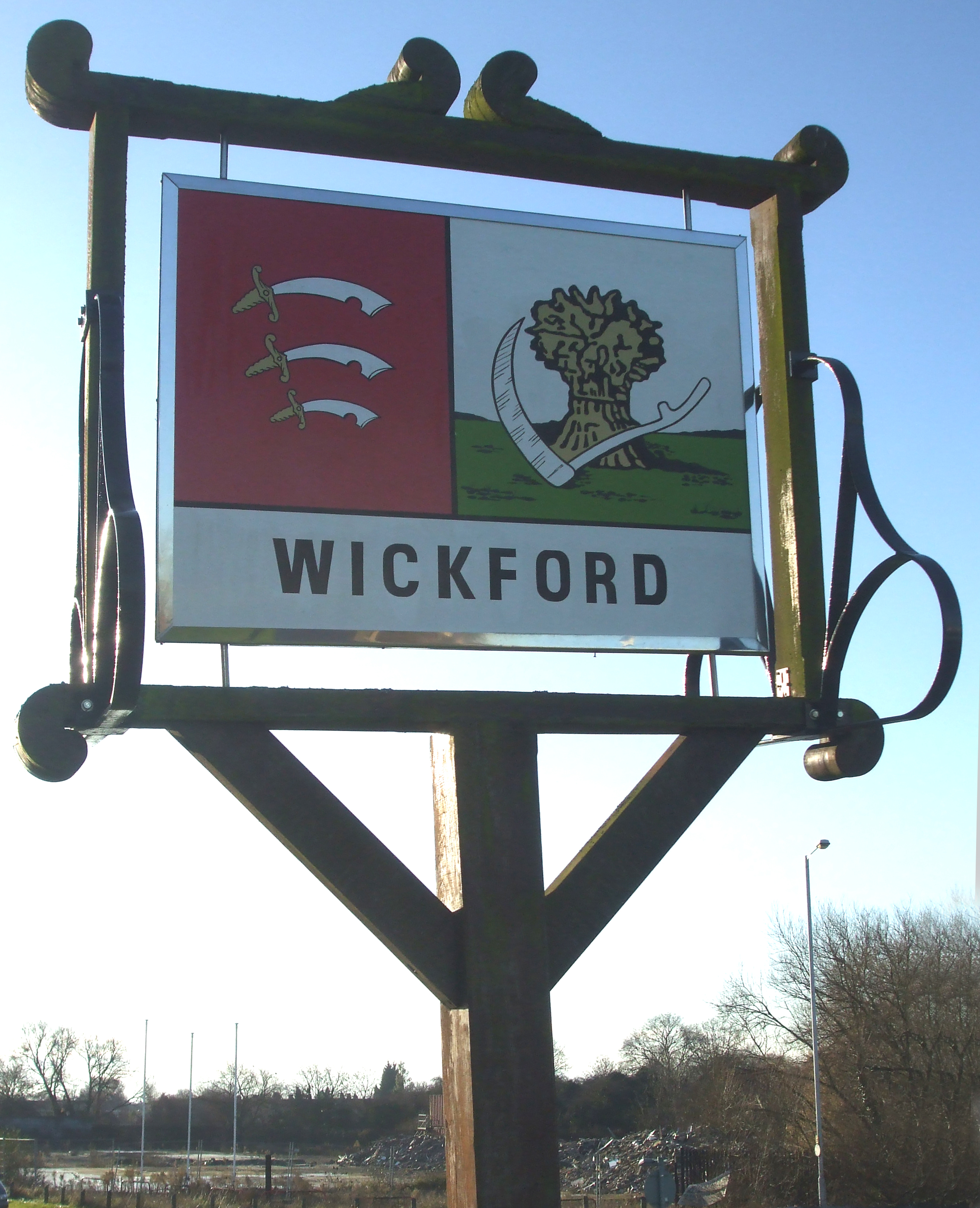
Wickford
Wickford is a town and civil parish in the south of the English county of Essex, with a population of 33,486. Located approximately 30 miles (50 km) east...

Wickford railway station
Wickford railway station is on the Shenfield to Southend Line and is also the western terminus of the Crouch Valley Line in the east of England, serving...

A132 road (England)
The A132 road is a road in England connecting Pitsea and South Woodham Ferrers. == Route description == The A132 starts from a roundabout next to the A13...

The Bromfords School
The Bromfords School is a coeducational secondary school and sixth form with academy status, located in Wickford, Essex, England. Most pupils live in Wickford...
Nearby Amenities
Located within 500m of 51.613207,0.52076019Have you been to Wickford?
Leave your review of Wickford below (or comments, questions and feedback).