Icknield Way

Heritage Site in Essex

England

Icknield Way

Goffers Knoll, Melbourn, Cambs View NW from the A505; the hill is topped by a Bronze Age burial ground.
Goffers Knoll, Melbourn, Cambs Credit: Rodney Burton

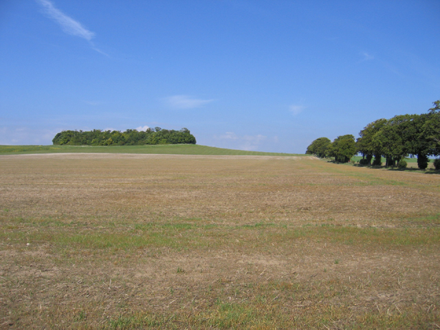
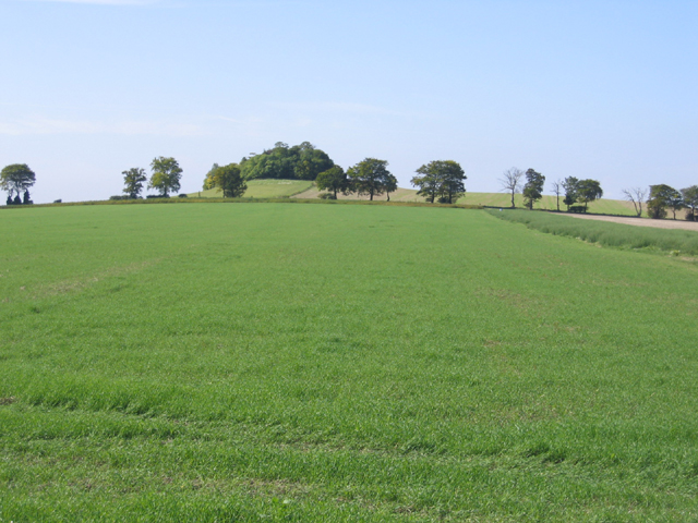
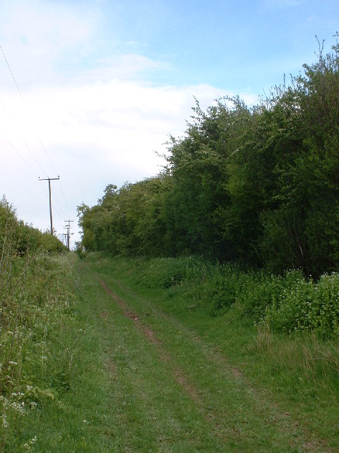
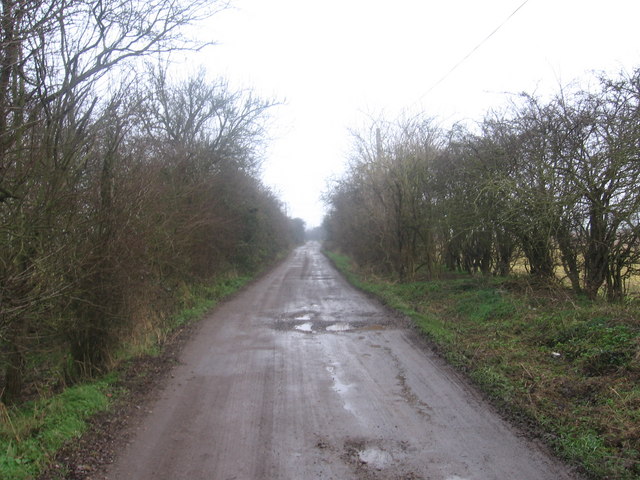
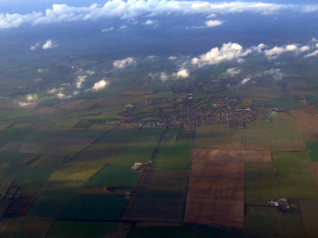
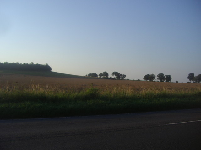
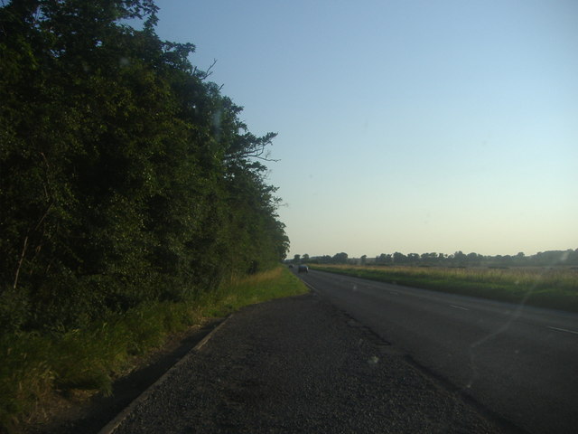
Icknield Way, located in Essex, is a significant heritage site that holds historical and cultural importance. This ancient trackway stretches for approximately 110 miles, running through various landscapes, including forests, fields, and chalk downlands. It follows a route that dates back thousands of years and was initially used by prehistoric settlers as a trade and communication route.

The Icknield Way is believed to have been established during the late Stone Age and was later utilized by the Romans and Anglo-Saxons. The trackway played a crucial role in connecting different regions and facilitating the movement of people, goods, and livestock. Over time, it became a well-traveled route for pilgrims, traders, and travelers.

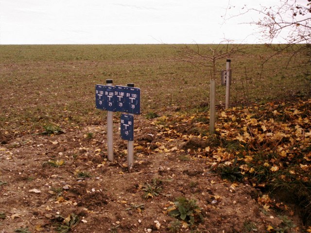
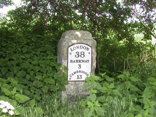
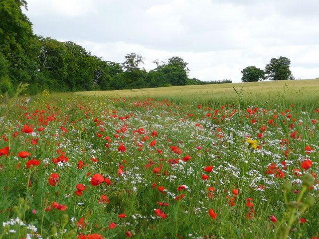
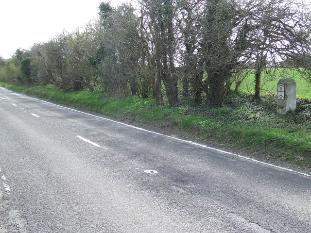
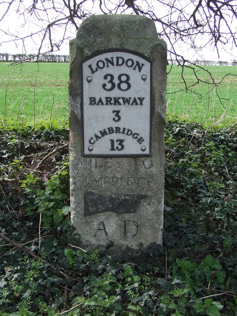
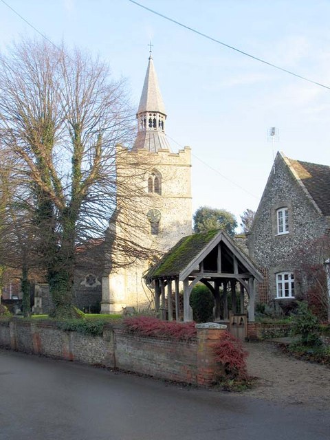
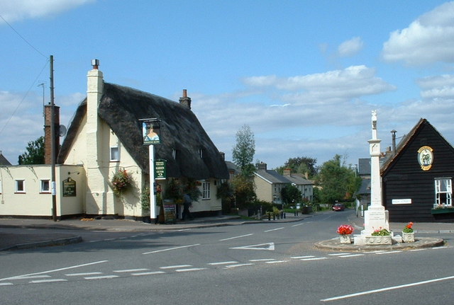
Today, Icknield Way stands as a testament to the rich history and heritage of the area. It is marked by various archaeological sites, including burial mounds, hill forts, and ancient settlements, all providing valuable insights into the lives of the past inhabitants. Additionally, the trackway is lined with remnants of old drovers' roads, milestones, and other historic markers.

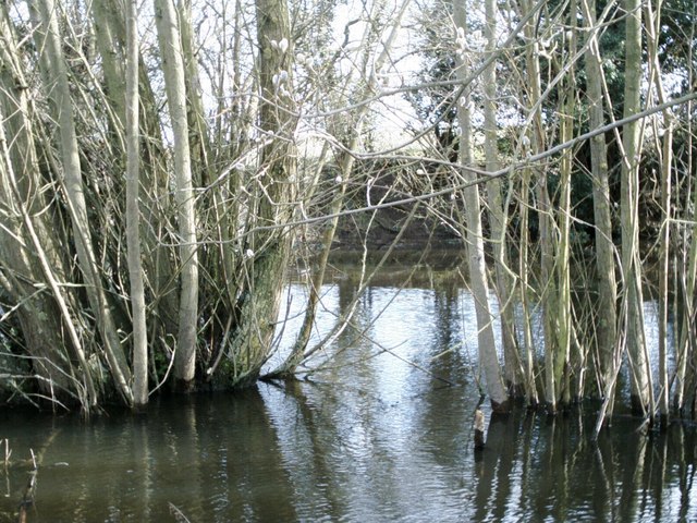
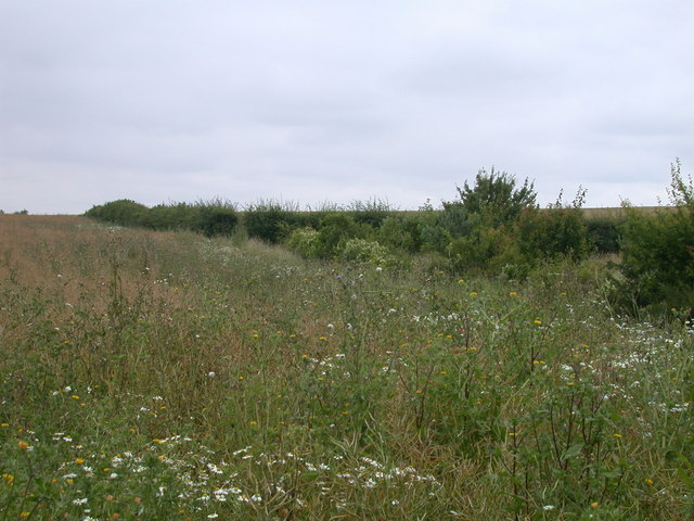
Visitors to Icknield Way can explore the trail on foot, enjoying the picturesque landscapes and experiencing the sense of history that permeates the area. The route offers opportunities for hiking, wildlife observation, and discovering the historical sites along the way. It also provides a unique perspective on the changing landscapes and the evolving human presence in Essex over the centuries.

Overall, Icknield Way in Essex is a captivating heritage site that provides a glimpse into the past and allows visitors to connect with the rich history and cultural heritage of the region.

If you have any feedback on the listing, please let us know in the comments section below.
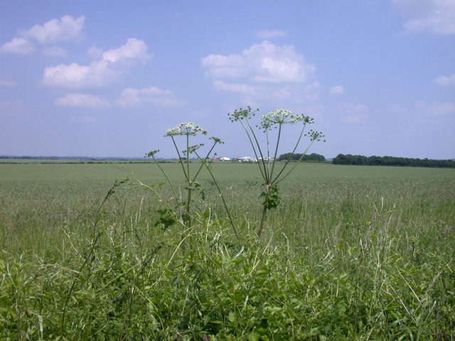
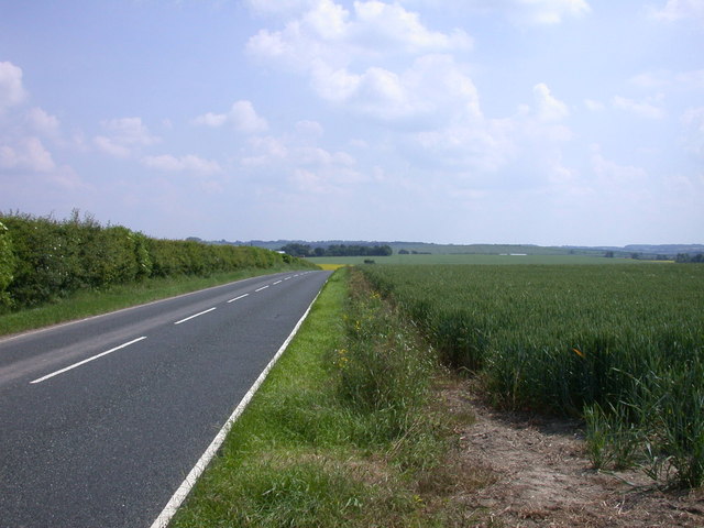
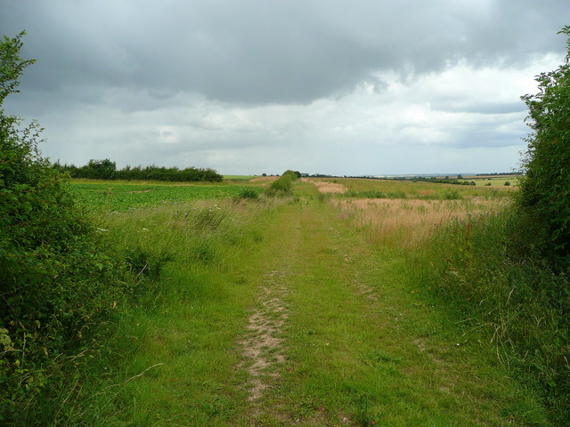
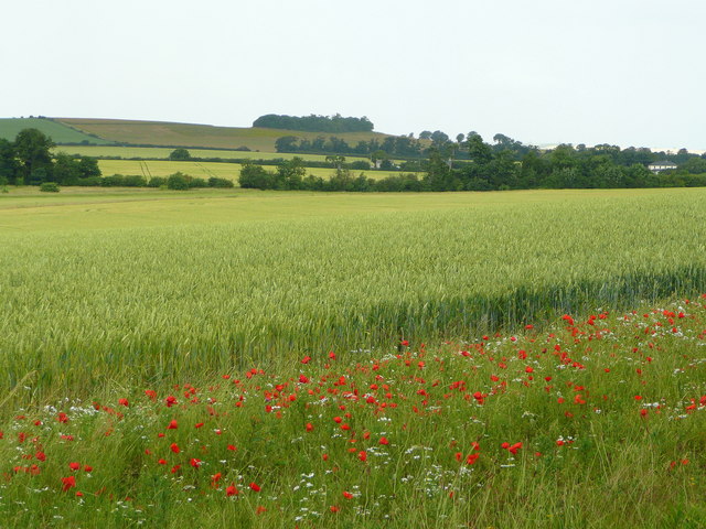
Icknield Way Images

Images are sourced within 2km of 52.053/0.05 or Grid Reference TL4041. Thanks to Geograph Open Source API. All images are credited.

Goffers Knoll, Melbourn, Cambs View NW from the A505; the hill is topped by a Bronze Age burial ground.
Goffers Knoll, Melbourn, Cambs
View NW from the A505; the hill is topped by a Bronze Age burial ground.
Goffers Knoll, Melbourn, Cambs View SW from New Road; the hill is topped by a Bronze Age burial ground.
Goffers Knoll, Melbourn, Cambs
View SW from New Road; the hill is topped by a Bronze Age burial ground.
Icknield Way near Royston
Road-side signs near Barley Signs indicating positions of underground water supply stop-valves.
Road-side signs near Barley
Signs indicating positions of underground water supply stop-valves.
Icknield Way near Royston
Newhill pond Newhill pond, near Barley. It was practically dry last autumn but with the recent rains it has filled up again.
Newhill pond
Newhill pond, near Barley. It was practically dry last autumn but with the recent rains it has filled up again.
Hedgerow south of Icknield Way
Milepost London 38 This is William Warren's milepost XIII with an added metal plaque. Comparison with a survey in 2001 <span class="nowrap"><a title="http://milestones.megalithia.com/sites/tl401399.htm" rel="nofollow ugc noopener" href="http://milestones.megalithia.com/sites/tl401399.htm">Link</a><img style="margin-left:2px;" alt="External link" title="External link - shift click to open in new window" src="https://s1.geograph.org.uk/img/external.png" width="10" height="10"/></span> shows that the plaque has been replaced since then, and that the original date was MDCCXXXII. It is now so surrounded by nettles as to be unapproachable, and so shaded by trees I used flash-fill for this photo.
Milepost London 38
This is William Warren's milepost XIII with an added metal plaque. Comparison with a survey in 2001 LinkExternal link shows that the plaque has been replaced since then, and that the original date was MDCCXXXII. It is now so surrounded by nettles as to be unapproachable, and so shaded by trees I used flash-fill for this photo.
View east from New Road
View SE along New Road
Footpath north to Melbourn Viewed from the B1368 just north of Barley.
Footpath north to Melbourn
Viewed from the B1368 just north of Barley.
Wheatfield in north-east Hertfordshire Looking north over Noon's Folly Farm to the wood at Goffers Knoll in the distance, both in Cambridgeshire.
Wheatfield in north-east Hertfordshire
Looking north over Noon's Folly Farm to the wood at Goffers Knoll in the distance, both in Cambridgeshire.
Wildflower headland A good wide headland enables wildlife to thrive even in the 'prairie' land of East Anglia.
Wildflower headland
A good wide headland enables wildlife to thrive even in the 'prairie' land of East Anglia.
Old Milestone Old milestone on the B1368 near to Barley, Hertfordshire. For close up view see <a title="https://www.geograph.org.uk/photo/1792397" href="https://www.geograph.org.uk/photo/1792397">Link</a> and for more info see <span class="nowrap"><a title="http://milestones.megalithia.com/sites/tl401399.htm" rel="nofollow ugc noopener" href="http://milestones.megalithia.com/sites/tl401399.htm">Link</a><img style="margin-left:2px;" alt="External link" title="External link - shift click to open in new window" src="https://s1.geograph.org.uk/img/external.png" width="10" height="10"/></span> do look at their home page.
Old Milestone
Old milestone on the B1368 near to Barley, Hertfordshire. For close up view see Link and for more info see LinkExternal link do look at their home page.
Old Milestone Old milestone on the B1368 near to Barley, Hertfordshire. For overall view see <a title="https://www.geograph.org.uk/photo/1792388" href="https://www.geograph.org.uk/photo/1792388">Link</a> and for more info see <span class="nowrap"><a title="http://milestones.megalithia.com/sites/tl401399.htm" rel="nofollow ugc noopener" href="http://milestones.megalithia.com/sites/tl401399.htm">Link</a><img style="margin-left:2px;" alt="External link" title="External link - shift click to open in new window" src="https://s1.geograph.org.uk/img/external.png" width="10" height="10"/></span> do look at their home page.
Old Milestone
Old milestone on the B1368 near to Barley, Hertfordshire. For overall view see Link and for more info see LinkExternal link do look at their home page.
Melbourn from the air The A505 runs horizontally across the bottom of the photo.

See also <a href="https://www.geograph.org.uk/photo/2468536">TL3845 : Melbourn from the air</a>.
Melbourn from the air
The A505 runs horizontally across the bottom of the photo. See also TL3845 : Melbourn from the air.
Goffers Knoll, Melbourn
The A505 by Goffers Knoll, Melbourn
Show me another place!

Icknield Way is located at Grid Ref: TL4041 (Lat: 52.053, Lng: 0.05)

What 3 Words

///collision.rules.fencing. Near Melbourn, Cambridgeshire

Nearby Locations

Icknield Way

Related Wikis

Flint Cross

Flint Cross is a hamlet and crossroads in South Cambridgeshire, in the English county of Cambridgeshire. It is in the south of the district, where the...

Goffers Knoll

Goffers Knoll is a prominent knoll on the Hertfordshire-Cambridgeshire border in the east of England, to the east of the town of Royston and south of Melbourn...

Great Chishill

Great Chishill is a village and former civil parish, now in the parish of Great and Little Chishill, in the South Cambridgeshire district, in the county...

Heydon, Cambridgeshire

Heydon is a village and civil parish in Cambridgeshire, England. The parish of Heydon was transferred from Essex to Cambridgeshire in 1894. The area of...

Barley, Hertfordshire

Barley is a village and civil parish in the district of North Hertfordshire, England. According to the 2001 census, it has a population of 659, increasing...

Fowlmere Airfield

Fowlmere Airfield (ICAO: EGMA) is a small airfield located 4.2 miles (6.8 km) northeast of Royston, Hertfordshire and 8.8 miles (14.2 km) southwest of...

Fowlmere

Fowlmere is one of the southernmost villages in Cambridgeshire, England. The population of the civil parish at the 2011 Census was 1,206. It is very close...

Melbourn

Melbourn () is a large, clustered village in the far south-west of Cambridgeshire, England. Its traditional high street is bypassed by the A10, intersecting...

Nearby Amenities

Located within 500m of 52.053,0.05
Power: pole
Lat/Long: 52.0545076/0.0456082
Power: pole
Lat/Long: 52.0558006/0.0513079
Power: pole
Lat/Long: 52.0552085/0.0488268
Power: pole
Lat/Long: 52.0560662/0.0525175
Power: pole
Lat/Long: 52.0541893/0.0441893
Power: pole
Lat/Long: 52.0548177/0.0470485
Power: pole
Lat/Long: 52.0556654/0.0469466
Power: pole
Lat/Long: 52.0565692/0.0468178
Power: pole
Lat/Long: 52.0549579/0.0476627
Power: pole
Lat/Long: 52.0555054/0.0500687
Power: pole
Lat/Long: 52.0561743/0.0532531
Power: pole
Lat/Long: 52.056359/0.0543931
Milestone
Note Ref: 12 miles to Cambridge.
Operator: Trinity Hall, Cambridge
Ref: 12
Source: survey
Wikidata: Q26421012
Lat/Long: 52.0532129/0.0468099
The data included in this document is from www.openstreetmap.org. The data is made available under ODbL.

Have you been to Icknield Way?

Leave your review of Icknield Way below (or comments, questions and feedback).