Bloodden
Settlement in Kent Canterbury
England
Bloodden
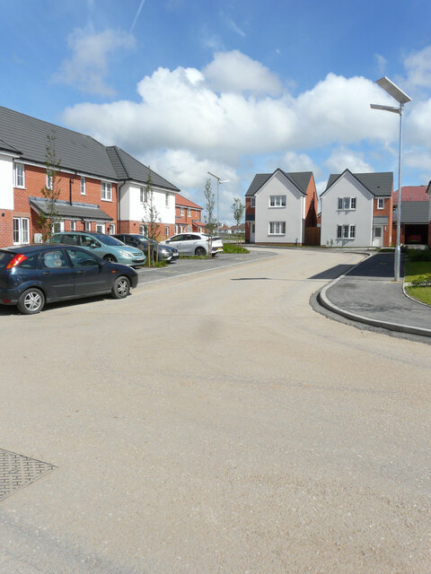
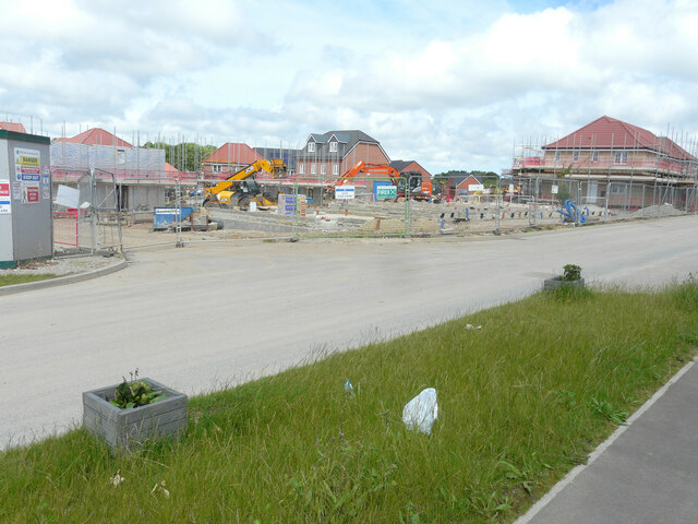
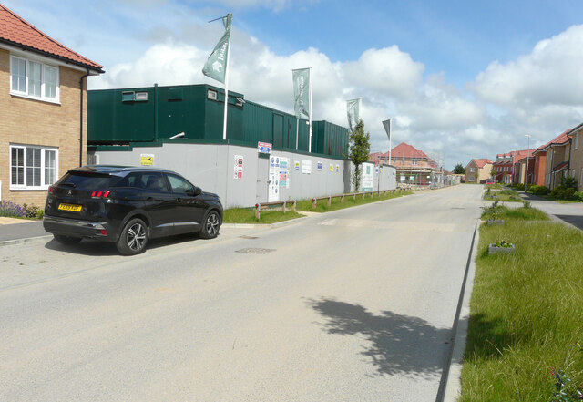
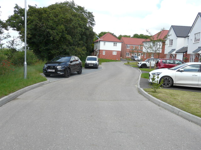
Bloodden is a small village located in the county of Kent, England. Situated approximately 7 miles southwest of the city of Canterbury, it is nestled within the picturesque countryside of the East Kent Downs. With a population of around 300 residents, it is a close-knit community that embodies the charm and tranquility of rural English life.
The village dates back to medieval times and is steeped in history. Its name is believed to originate from the Old English words "blod" and "denn," meaning "bloody valley," possibly referencing a violent event that occurred in the area long ago. Today, the village retains much of its old-world charm, with several historic buildings and landmarks that serve as reminders of its past.
The centerpiece of Bloodden is its quaint village square, where the local community gathers for various events and festivals throughout the year. The square is also home to a traditional village pub, which acts as a social hub for residents and visitors alike.
Surrounded by rolling hills and lush green fields, Bloodden offers a picturesque setting for outdoor enthusiasts. The village is situated near several walking and cycling trails that allow visitors to explore the stunning countryside. Additionally, the nearby River Stour provides opportunities for fishing and boating.
With its rich history, natural beauty, and tight-knit community, Bloodden exudes a unique charm that attracts both locals and tourists seeking a peaceful retreat in the heart of the Kentish countryside.
If you have any feedback on the listing, please let us know in the comments section below.
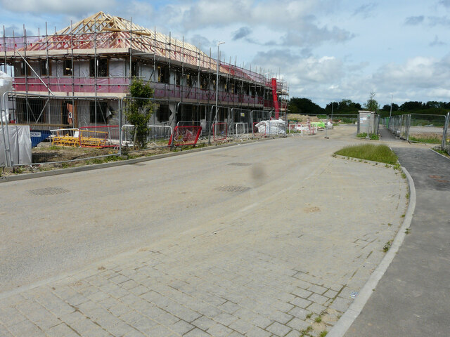
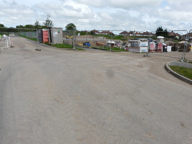
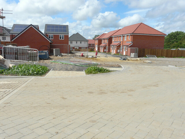
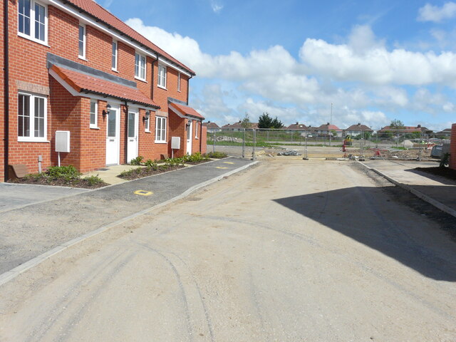
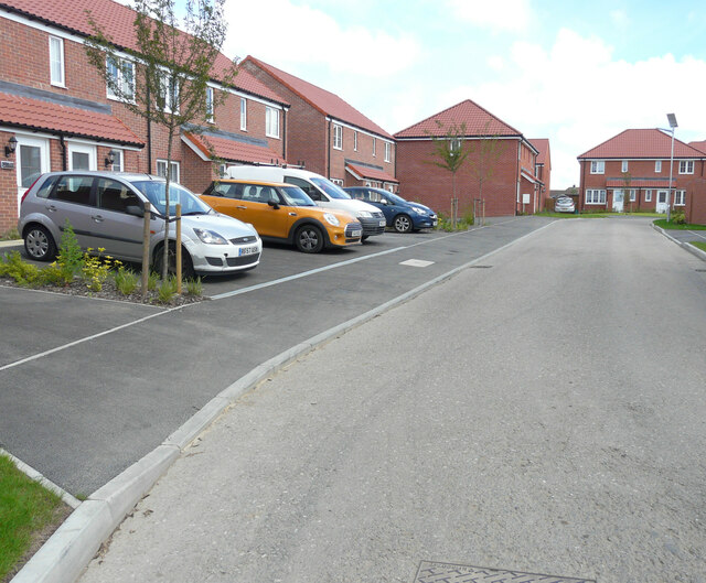
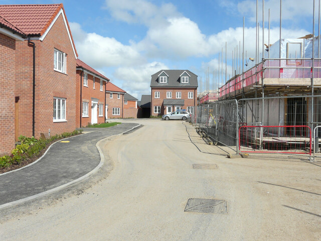
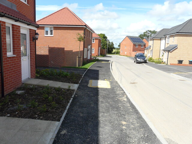
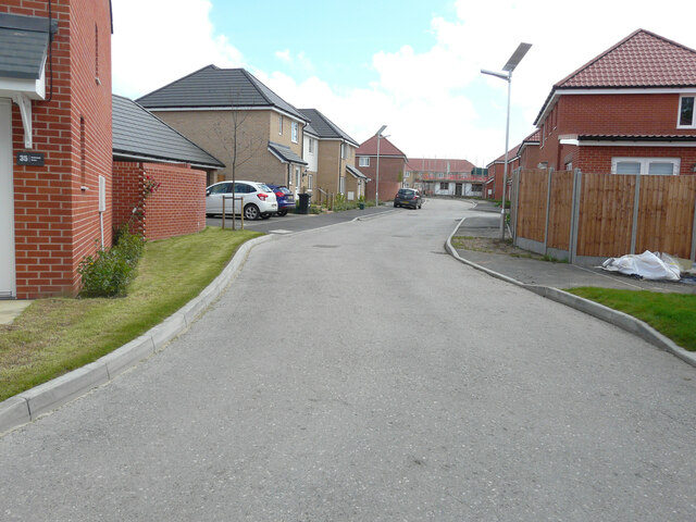
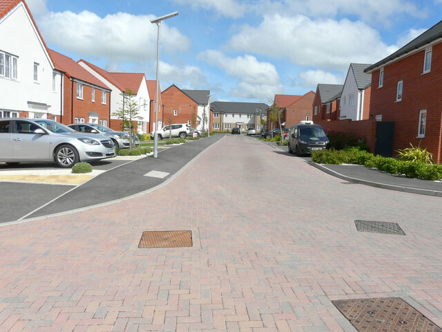
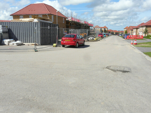
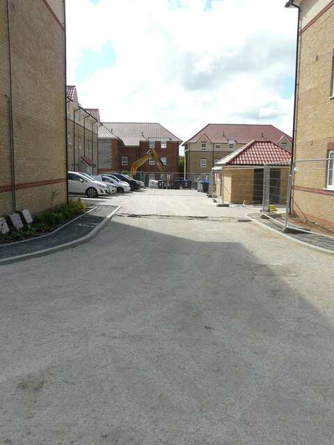
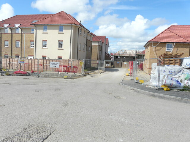
Bloodden Images
Images are sourced within 2km of 51.240577/1.1935862 or Grid Reference TR2353. Thanks to Geograph Open Source API. All images are credited.
Bloodden is located at Grid Ref: TR2353 (Lat: 51.240577, Lng: 1.1935862)
Administrative County: Kent
District: Canterbury
Police Authority: Kent
What 3 Words
///parkland.financial.rooms. Near Aylesham, Kent
Nearby Locations
Related Wikis

Adisham
Adisham (formerly Adesham) is a village and civil parish in the English county of Kent. It is twinned with Campagne-lès-Hesdin in France. == Geography... ==
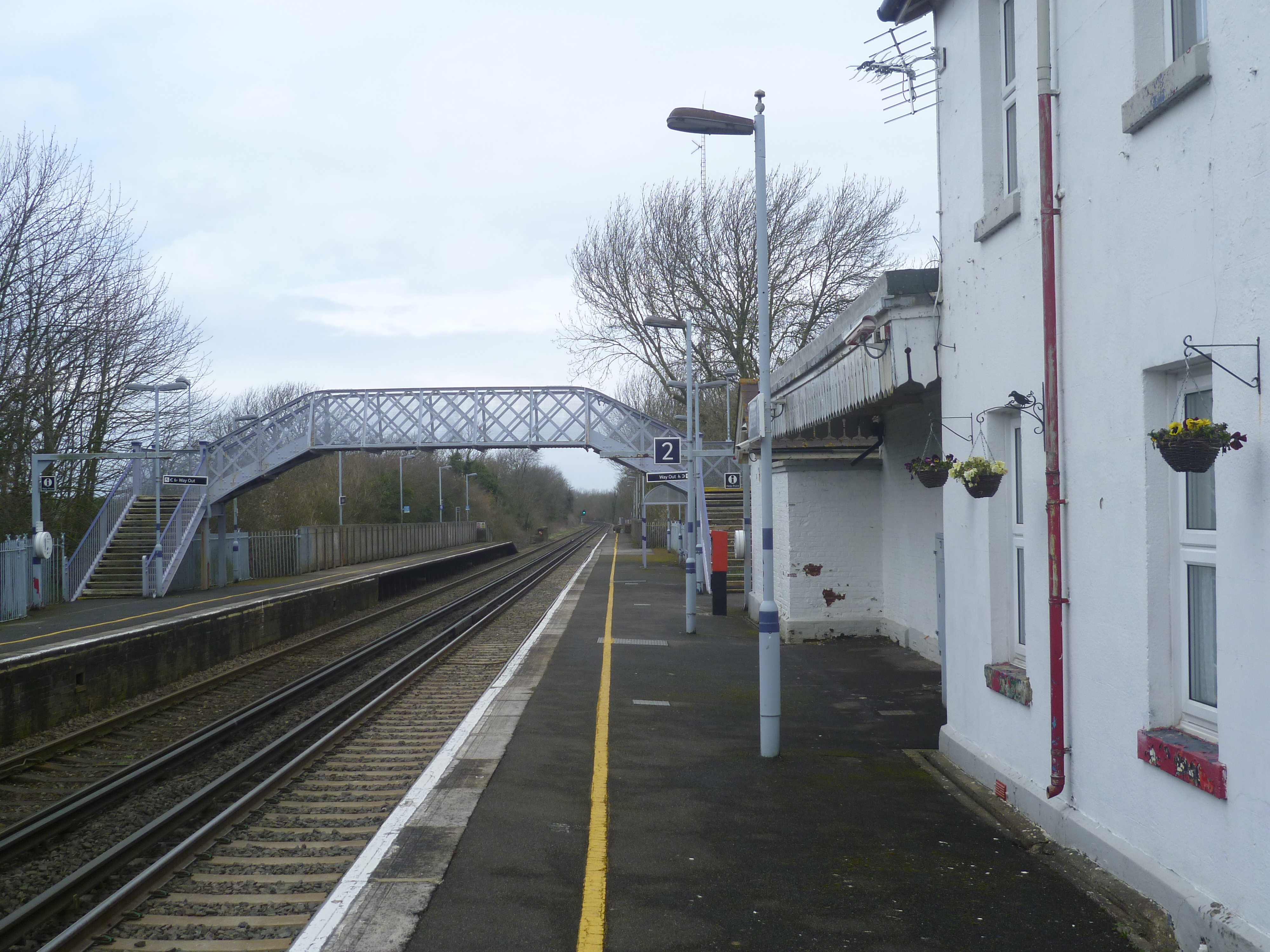
Adisham railway station
Adisham railway station is on the Dover branch of the Chatham Main Line in England, and serves the village of Adisham, Kent. It is 67 miles 60 chains...

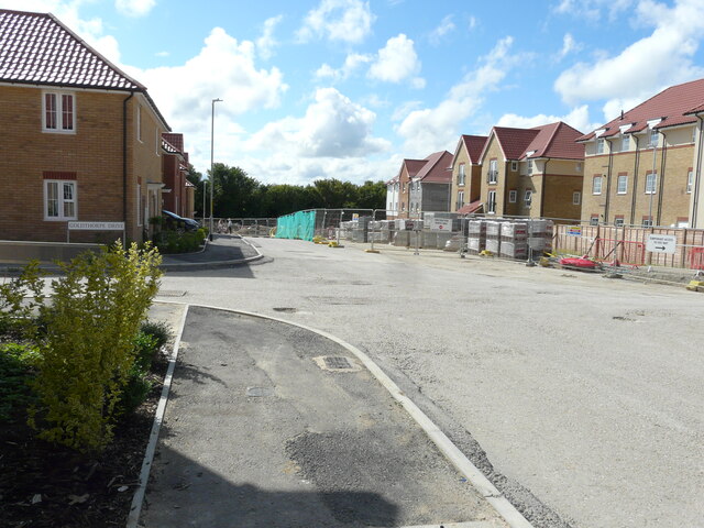
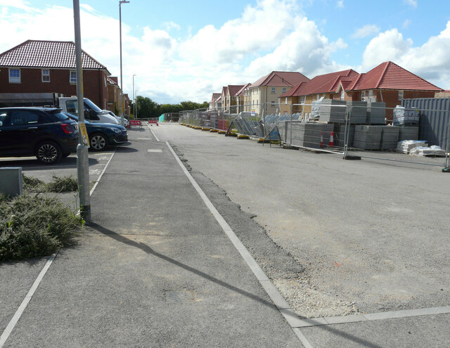
Aylesham
Aylesham is a village and civil parish in the Dover district of Kent, England. The village is 6.5 miles (10.5 km) southeast of the cathedral city of Canterbury...
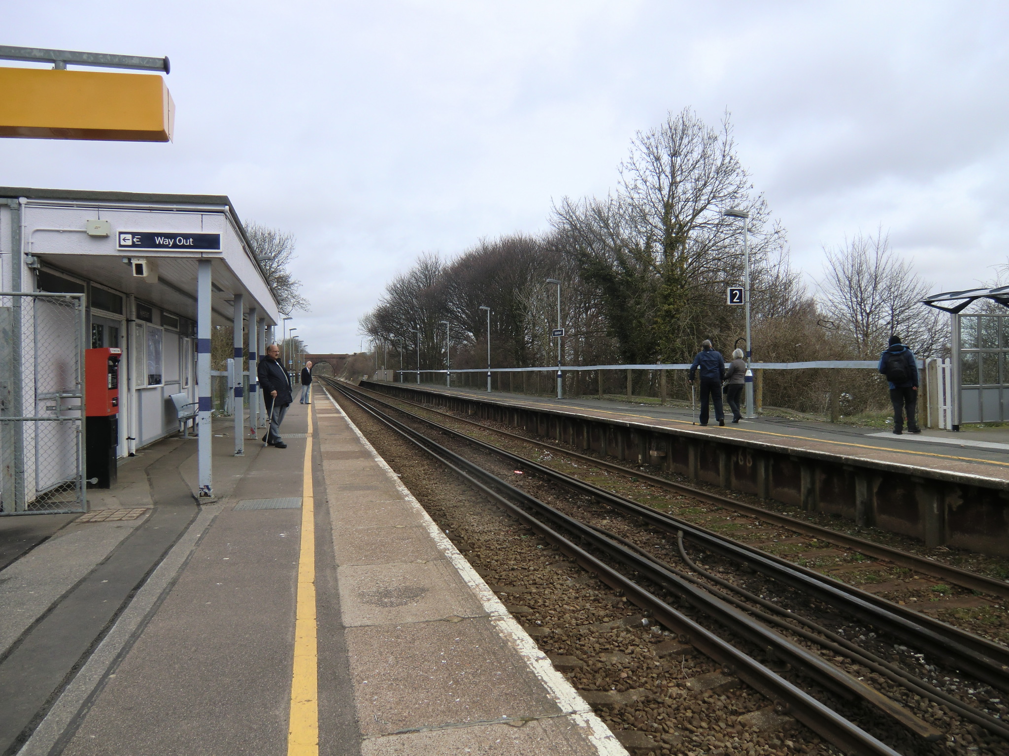
Aylesham railway station
Aylesham railway station is on the Dover branch of the Chatham Main Line in England, and serves the village of Aylesham, Kent. It is 68 miles 66 chains...

Ileden and Oxenden Woods
Ileden and Oxenden Woods is an 86.4-hectare (213-acre) biological Site of Special Scientific Interest (SSSI) south-east of Canterbury in Kent. It is in...
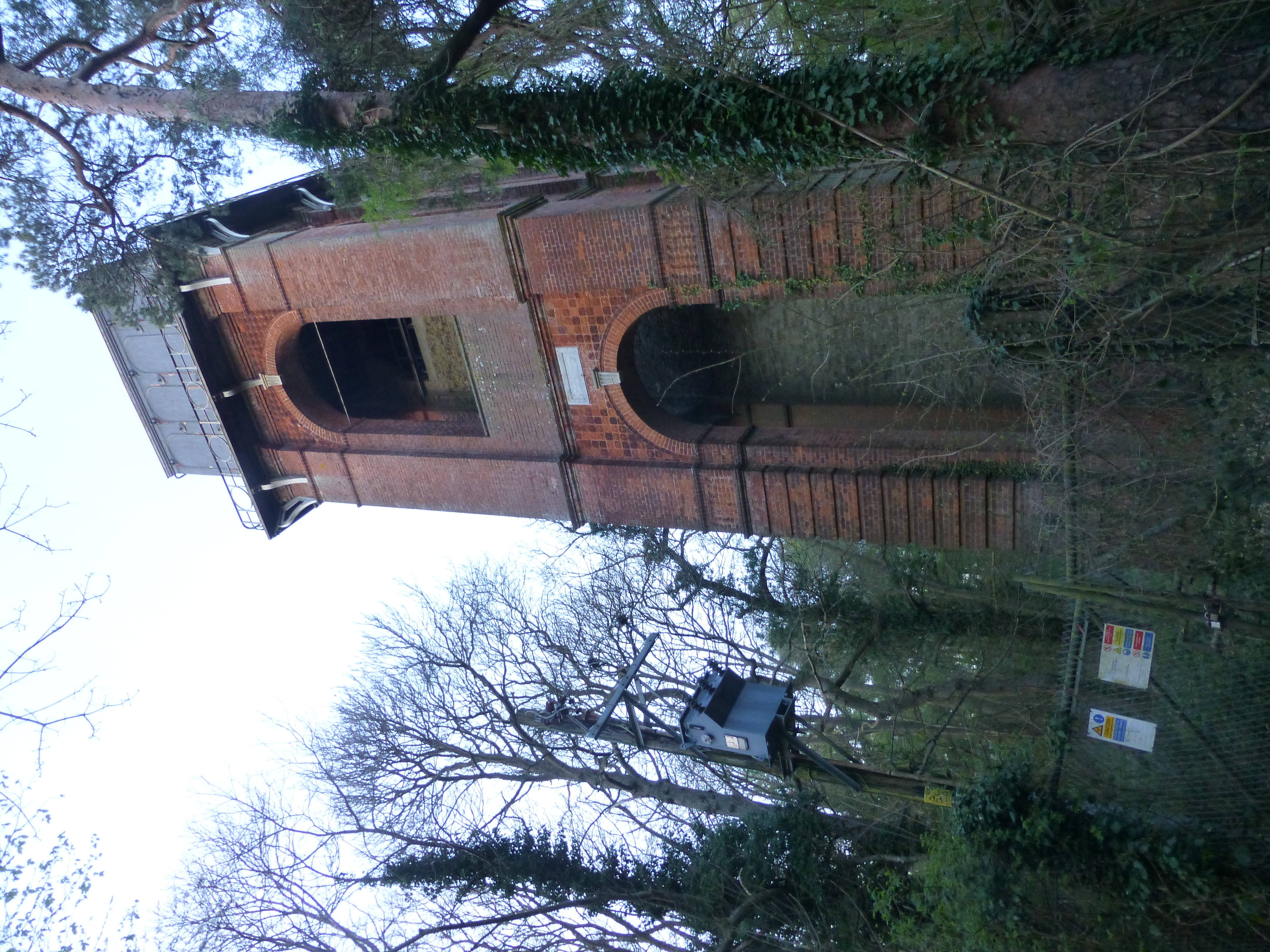
Adisham Water Tower
Adisham Water Tower is a Grade II listed building located in the parish of Adisham, Kent. The structure was built in 1903 in an Edwardian Italianate Revival...

Goodnestone Park
Goodnestone Park is a stately home and gardens in the southern part of the village of Goodnestone, Dover, Kent. It is approximately 7 miles (11 km) from...

Goodnestone, Dover
Goodnestone is a village and civil parish in the Dover district of Kent, England. The village is situated approximately 7 miles (11 km) east-southeast...
Related Videos

29 July 2023
snowdown,Aylesham, Kent colliery, now closed.


Top Ten Least Used Railway Stations In Kent - 2 : Snowdown
(Filmed before the November 2020 England lockdown). In this video I visit Snowdown Railway Station. Includes Network Rail Test ...
Nearby Amenities
Located within 500m of 51.240577,1.1935862Have you been to Bloodden?
Leave your review of Bloodden below (or comments, questions and feedback).