Henford Moor

Downs, Moorland in Devon Torridge

England

Henford Moor

Field View at East Panson Triangulation Pillar Looking northward to manure heaps.
Field View at East Panson Triangulation Pillar Credit: Peter Wood

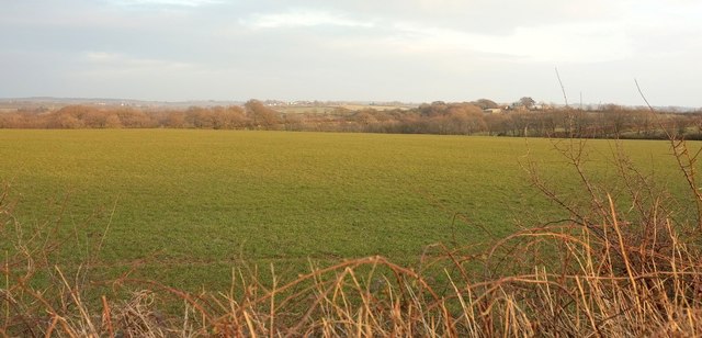
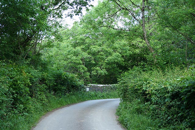
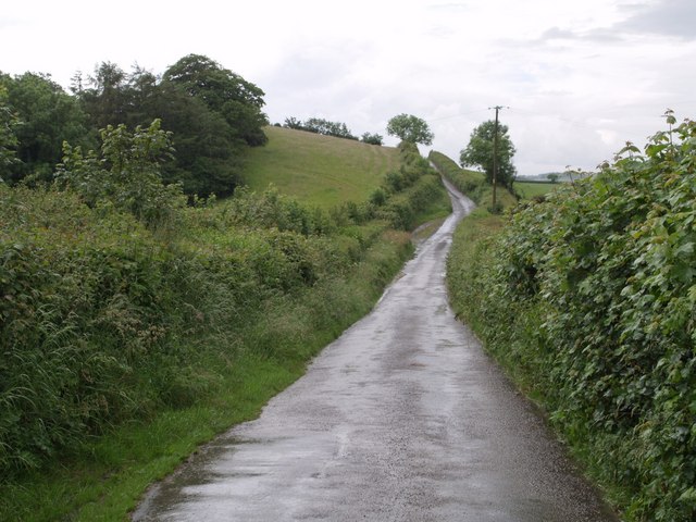
Henford Moor is a vast expanse of moorland located in Devon, England. It is situated in the southern part of the county, near the town of Tavistock. This moorland covers an extensive area of approximately 2,000 acres and is known for its diverse and picturesque landscape.

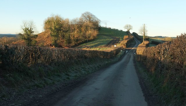
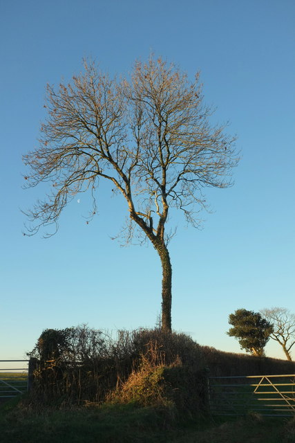
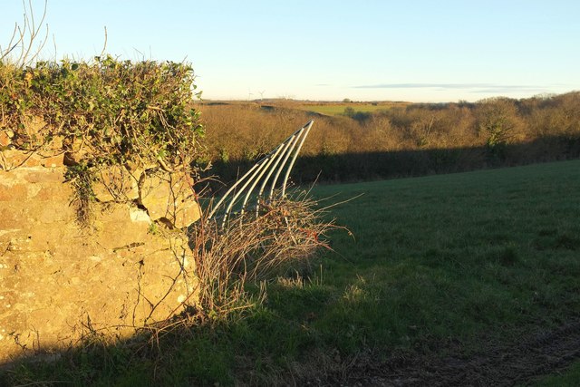
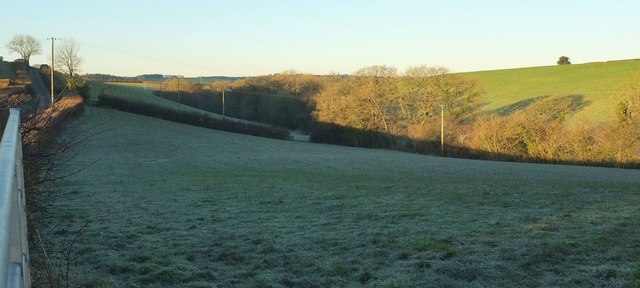
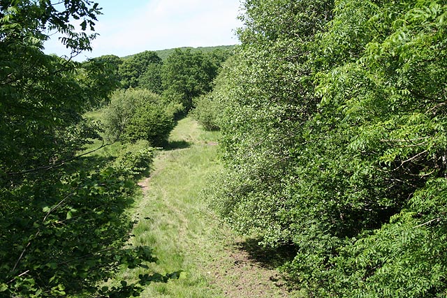
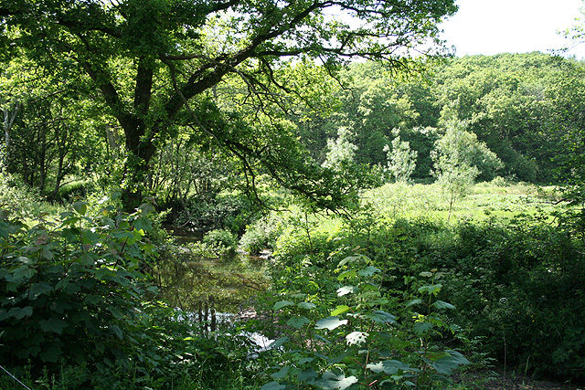
Henford Moor features rolling hills, heather-covered slopes, and scattered patches of woodland, creating a beautiful and tranquil setting. The moorland is characterized by its unique combination of downs and moorland, providing a rich habitat for various species of flora and fauna.

The vegetation found on Henford Moor is incredibly diverse, with heather dominating the landscape. This plant not only adds a splash of vibrant color to the moorland but also provides a crucial habitat for many insects and birds. Other plant species that can be found here include gorse, bilberry, and bracken.

The moorland is also home to a variety of animal life. Visitors may spot native species such as Dartmoor ponies, rabbits, and foxes roaming freely across the open landscape. Birdwatchers will be delighted by the presence of numerous species, including skylarks, stonechats, and buzzards, making it an ideal spot for ornithological enthusiasts.

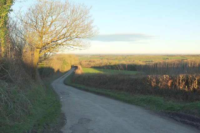
Henford Moor offers visitors the opportunity to explore its vast expanse through a network of footpaths and trails. These pathways allow hikers and nature lovers to immerse themselves in the beauty of the moorland while enjoying breathtaking views of the surrounding countryside.

Overall, Henford Moor is a remarkable natural gem in Devon, offering a unique blend of downs and moorland, diverse flora and fauna, and stunning landscapes, making it a must-visit destination for nature enthusiasts and those seeking tranquility in the heart of the English countryside.

If you have any feedback on the listing, please let us know in the comments section below.
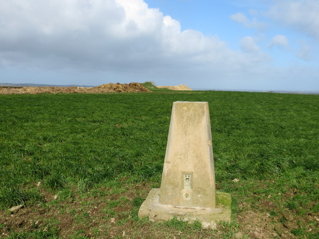
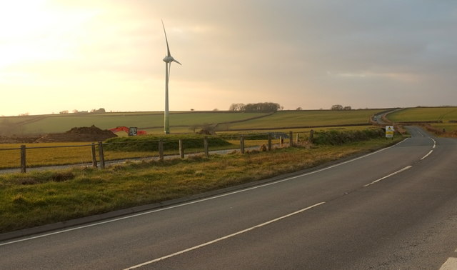
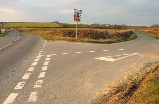
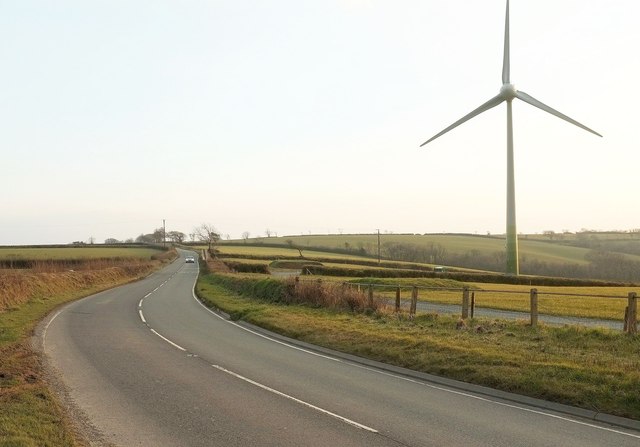
Henford Moor Images

Images are sourced within 2km of 50.726397/-4.3215638 or Grid Reference SX3694. Thanks to Geograph Open Source API. All images are credited.

Field View at East Panson Triangulation Pillar Looking northward to manure heaps.
Field View at East Panson Triangulation Pillar
Looking northward to manure heaps.
Wind turbine, Blagdon Cross The A388 at the junction with a road to Sandymoor Cross.
Wind turbine, Blagdon Cross
The A388 at the junction with a road to Sandymoor Cross.
A388 at Docketts Tenements The main road follows a parish boundary here, with Luffincott to the left and Ashwater on the right. Ahead are wind turbines near Blagdon Cross.
A388 at Docketts Tenements
The main road follows a parish boundary here, with Luffincott to the left and Ashwater on the right. Ahead are wind turbines near Blagdon Cross.
Blagdon Cross Here a road to Sandymoor Cross leaves the A388. <a href="https://www.geograph.org.uk/photo/4866317">SX3696 : Wind turbine, Blagdon Cross</a> looks left from the same point.
Blagdon Cross
Here a road to Sandymoor Cross leaves the A388. SX3696 : Wind turbine, Blagdon Cross looks left from the same point.
A388 at Blagdon Cross Looking in the opposite direction to <a href="https://www.geograph.org.uk/photo/4866317">SX3696 : Wind turbine, Blagdon Cross</a> along the main road, showing the second wind turbine.
A388 at Blagdon Cross
Looking in the opposite direction to SX3696 : Wind turbine, Blagdon Cross along the main road, showing the second wind turbine.
Towards Ashwater From Blagdon Cross on the A388 in dwindling evening light. The village can be made out left of centre. The farm on the right is Larkworthy.
Towards Ashwater
From Blagdon Cross on the A388 in dwindling evening light. The village can be made out left of centre. The farm on the right is Larkworthy.
Road on Peek Moor The road from South Peeke descends towards Luffincott Shop.
Road on Peek Moor
The road from South Peeke descends towards Luffincott Shop.
Lane to Luffincott church A very similar view to <a href="https://www.geograph.org.uk/photo/468496">SX3494 : Lane to Luffincott church</a>, but in early morning winter sunshine rather than summer rain. On the left is Greatdown Plantation.
Lane to Luffincott church
A very similar view to SX3494 : Lane to Luffincott church, but in early morning winter sunshine rather than summer rain. On the left is Greatdown Plantation.
Tree on Peek Moor A field boundary by the place where <a href="https://www.geograph.org.uk/photo/5258553">SX3594 : Road on Peek Moor</a> was taken.
Tree on Peek Moor
A field boundary by the place where SX3594 : Road on Peek Moor was taken.
Field and wood, Peeke From the gateway off to the right in <a href="https://www.geograph.org.uk/photo/5258553">SX3594 : Road on Peek Moor</a>.
Field and wood, Peeke
From the gateway off to the right in SX3594 : Road on Peek Moor.
Frosty field and valley near Luffincott From the same spot as <a href="https://www.geograph.org.uk/photo/5258571">SX3494 : Lane to Luffincott church</a>, looking to the right across the frosty field to the valley of a tributary of Lana Brook.
Frosty field and valley near Luffincott
From the same spot as SX3494 : Lane to Luffincott church, looking to the right across the frosty field to the valley of a tributary of Lana Brook.
A388, Peek Moor Cross
Entrance to Chapmans Well
Virginstow: in the Carey valley Lane with a bridge over the old railway line to Launceston and Wadebridge. Looking north east
Virginstow: in the Carey valley
Lane with a bridge over the old railway line to Launceston and Wadebridge. Looking north east
Virginstow: disused railway Course of the railway linking Halwill Junction with Launceston and Wadebridge. Looking north
Virginstow: disused railway
Course of the railway linking Halwill Junction with Launceston and Wadebridge. Looking north
Virginstow: river Carey Near Middle Bridge. Looking west with Panson Wood beyond
Virginstow: river Carey
Near Middle Bridge. Looking west with Panson Wood beyond
Lane to Luffincott church The no through road leading to <a href="https://www.geograph.org.uk/photo/415743">SX3394 : St James' Church</a>, about 300 metres west of Luffincott Smithy. On the left is Greatdown Plantation.
Lane to Luffincott church
The no through road leading to SX3394 : St James' Church, about 300 metres west of Luffincott Smithy. On the left is Greatdown Plantation.
Luffincott Smithy Probably C17 and now a thatched cottage, beside the junction of the Chapmans Well - Tetcott lane with <a href="https://www.geograph.org.uk/photo/468496">SX3494 : Lane to Luffincott church</a>.
Luffincott Smithy
Probably C17 and now a thatched cottage, beside the junction of the Chapmans Well - Tetcott lane with SX3494 : Lane to Luffincott church.
Show me another place!

Henford Moor is located at Grid Ref: SX3694 (Lat: 50.726397, Lng: -4.3215638)

Administrative County: Devon

District: Torridge

Police Authority: Devon and Cornwall

What 3 Words

///cakewalk.blueberry.cabin. Near Boyton, Cornwall

Nearby Locations

Henford Henford Moor

Related Wikis

Ashwater

Ashwater is a village and civil parish in the Torridge district of Devon, England. According to the 2001 census it had a population of 651 that had risen...

Northcott, Devon

Northcott is a small settlement and civil parish in the far west of Devon, England. It lies about seven miles south of the town of Holsworthy and forms...

Virginstow

Virginstow is a village and civil parish in the Torridge district of Devon, England. It is situated about 7 miles north of Launceston in Cornwall. According...

Bradaford

Bradaford is a village in Devon, England.

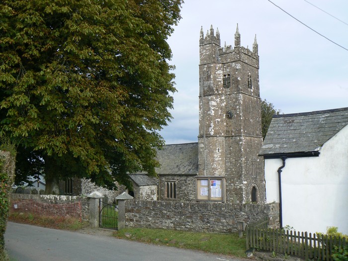
St James's Church, Luffincott

St James's Church in Luffincott, Devon, England was built in the 15th century. It is recorded in the National Heritage List for England as a designated...

Ashwater railway station

Ashwater railway station was a railway station that served the hamlets of Ashwater and Ashmill in Devon, England. It was located on the North Cornwall...

Tetcott

Tetcott is a civil parish, small settlement and former manor (once the home of the Arscotts of Tetcott) in Devon, England. The parish lies about five miles...

Luffincott

Luffincott is a civil parish in the far west of Devon, England. It forms part of the local government district of Torridge and lies about six miles south...

Have you been to Henford Moor?

Leave your review of Henford Moor below (or comments, questions and feedback).