Berrarunies Loch

Lake, Pool, Pond, Freshwater Marsh in Shetland

Scotland

Berrarunies Loch

Glenburn, Effirth
Glenburn, Effirth Credit: Mike Pennington

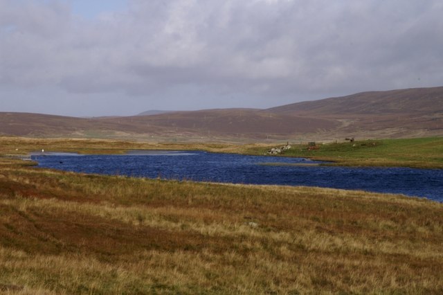
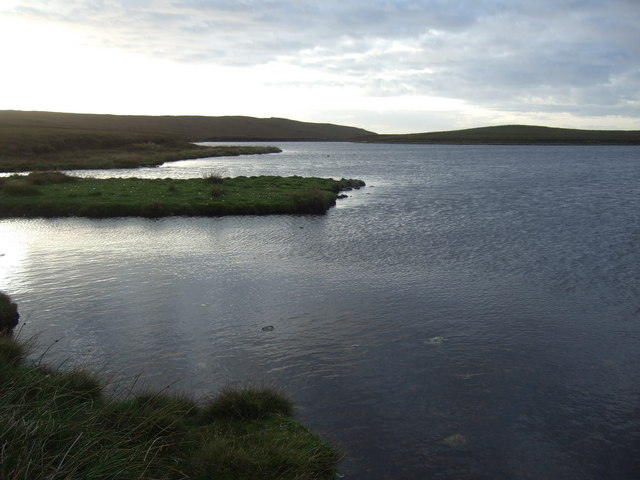
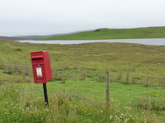
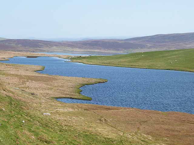
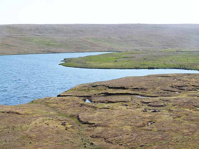
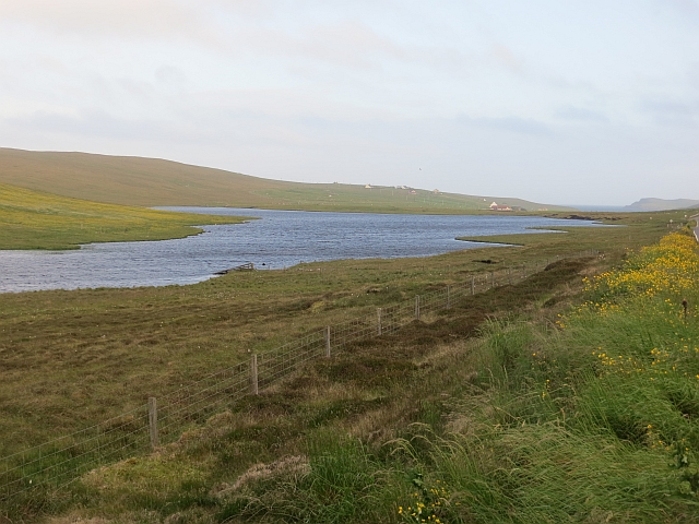
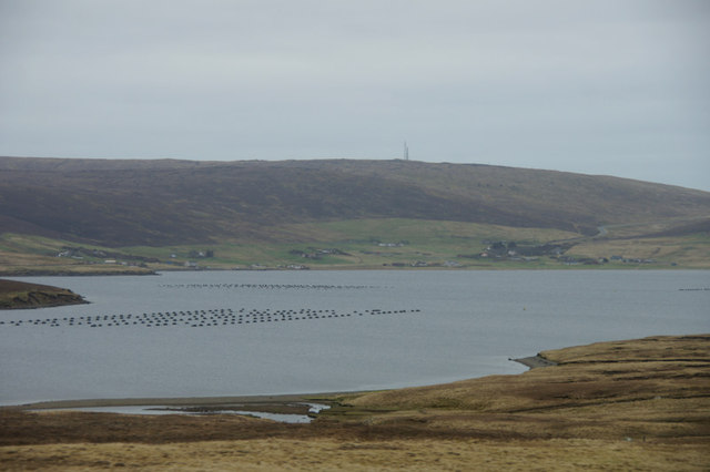
Berrarunies Loch is a picturesque freshwater loch located in the Shetland Islands, Scotland. Nestled amidst the stunning natural beauty of the islands, this body of water offers a serene and tranquil setting for visitors and locals alike.

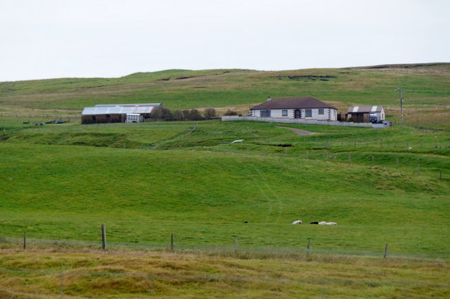
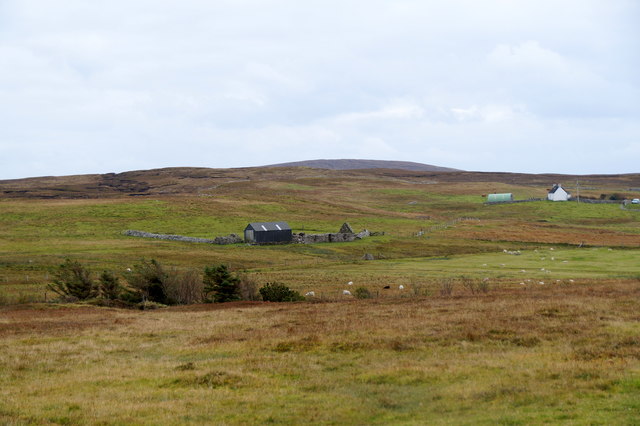
With a surface area of approximately 2.5 acres, Berrarunies Loch is relatively small compared to some of the other lochs in the region. However, what it lacks in size, it more than makes up for in its charm and unique features. Surrounded by rolling hills and lush greenery, the loch is a haven for wildlife and provides a vital habitat for many species.

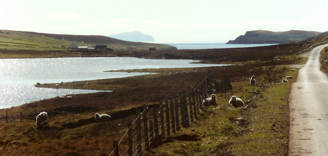
The water in Berrarunies Loch is crystal clear, owing to its freshwater source and absence of pollution. This clarity allows visitors to observe the rich underwater ecosystem teeming with various aquatic plants and small fish. The loch is also home to a diverse range of bird species, including swans, ducks, and herons. Birdwatchers often flock to the area to catch a glimpse of these beautiful creatures in their natural habitat.

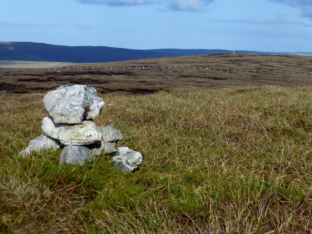
The surrounding area of Berrarunies Loch is mostly covered in heather and peat, creating a unique landscape that changes with the seasons. During the summer months, the loch becomes a vibrant scene with an array of colorful wildflowers blooming along its banks.

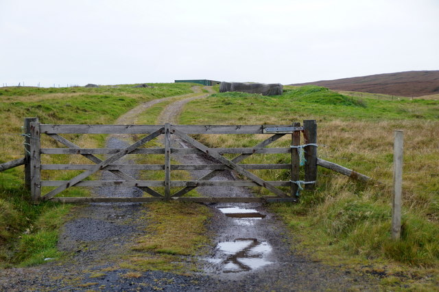
Access to Berrarunies Loch is relatively easy, with a well-maintained footpath leading visitors to its shores. This makes it a popular spot for leisurely walks, picnics, and fishing. Anglers can often be seen casting their lines into the calm waters, hoping to catch trout or salmon.

Berrarunies Loch is a hidden gem in the Shetland Islands, offering a peaceful retreat for those seeking to enjoy the beauty of nature in a tranquil setting.

If you have any feedback on the listing, please let us know in the comments section below.

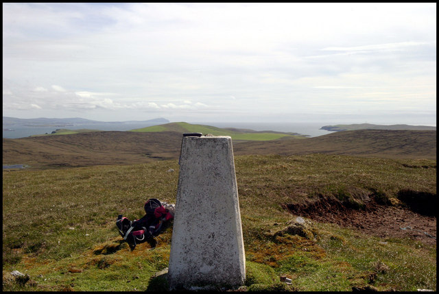
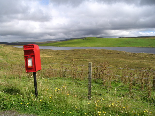
Berrarunies Loch Images

Images are sourced within 2km of 60.233127/-1.4239384 or Grid Reference HU3250. Thanks to Geograph Open Source API. All images are credited.

Glenburn, Effirth
Glenburn, Effirth
Track at Laxaburn, near Effirth
Sefster, near Gruting
Loch of Semblister View over the Loch of Semblister with Fitful Head in the distance.
Loch of Semblister
View over the Loch of Semblister with Fitful Head in the distance.
Trig point Looking to the South down the West side of Shetland to Fitful Head in the distance.
Trig point
Looking to the South down the West side of Shetland to Fitful Head in the distance.
Postbox at the Sand road junction The view is across Loch of Semblister towards the prehistoric homestead on Croag Lee on the ridge at the far side.
Postbox at the Sand road junction
The view is across Loch of Semblister towards the prehistoric homestead on Croag Lee on the ridge at the far side.
North end of the Loch of Semblister
Berarunies Loch SE bay. This is where the tiny inflow burn trickles into the loch.
Berarunies Loch SE bay.
This is where the tiny inflow burn trickles into the loch.
Garderhouse: postbox № ZE2 85 This postbox stands to the north of Garderhouse village, at the turning to Sand. It is emptied at 7am each morning except Sunday. The Loch of Semblister is in the background.
Garderhouse: postbox № ZE2 85
This postbox stands to the north of Garderhouse village, at the turning to Sand. It is emptied at 7am each morning except Sunday. The Loch of Semblister is in the background.
Croag Lee Homestead Once attained it is not difficult to see the outlines and shapes;
it is recognised, but not documented, by 'Ancient Monuments'
Here <span class="nowrap"><a title="http://www.ancientmonuments.info/sc5698-croag-lee-homestead-and-field-system-1250m-" rel="nofollow ugc noopener" href="http://www.ancientmonuments.info/sc5698-croag-lee-homestead-and-field-system-1250m-">Link</a><img style="margin-left:2px;" alt="External link" title="External link - shift click to open in new window" src="https://s1.geograph.org.uk/img/external.png" width="10" height="10"/></span>
Croag Lee Homestead
Once attained it is not difficult to see the outlines and shapes; it is recognised, but not documented, by 'Ancient Monuments' Here LinkExternal link
Pattern of drainage ditches In the broad marshy valley at the head of Garderhouse Voe.
Pattern of drainage ditches
In the broad marshy valley at the head of Garderhouse Voe.
Loch of Semblister With the Firth, an arm of the open sea, beyond.
Loch of Semblister
With the Firth, an arm of the open sea, beyond.
Top end of the Loch of Semblister
Sand Field Track that starts at HU331477 is initially useful but turns into a ditch. Ditch the ditch and make a more direct line after the third gate. Bagged with Tricky Speirs, then on to collect the trig point.
Name: Sand Field
Hill number: 4917
Height: 136m / 446ft
Area: 22: Shetland Islands
Class: Hu
Grid ref: HU313485 (est)
Drop: 114m
Col: 22m  HU279527
Sand Field
Track that starts at HU331477 is initially useful but turns into a ditch. Ditch the ditch and make a more direct line after the third gate. Bagged with Tricky Speirs, then on to collect the trig point. Name: Sand Field Hill number: 4917 Height: 136m / 446ft Area: 22: Shetland Islands Class: Hu Grid ref: HU313485 (est) Drop: 114m Col: 22m HU279527
Sand Field Trig Point Bagged with Tricky Speirs after the HuMP summit further west.
Sand Field Trig Point
Bagged with Tricky Speirs after the HuMP summit further west.
Loch of Semblister There is some improved grassland on the eastern shore on Croag Lee but no settlement there now.
Loch of Semblister
There is some improved grassland on the eastern shore on Croag Lee but no settlement there now.
View over the Firth from east of Effirth Looking across to Tresta and the masts on Hill of Sound.
View over the Firth from east of Effirth
Looking across to Tresta and the masts on Hill of Sound.
Roadside quarry Beside the B9071 to Skeld.
Roadside quarry
Beside the B9071 to Skeld.
Show me another place!

Berrarunies Loch is located at Grid Ref: HU3250 (Lat: 60.233127, Lng: -1.4239384)

Unitary Authority: Shetland Islands

Police Authority: Highlands and Islands

What 3 Words

///boss.clattered.vocal. Near Aith, Shetland Islands

Nearby Locations

Berrarunies Loch

Related Wikis

Sandsting

Sandsting is a parish in the West Mainland of Shetland, Scotland, forming a southern arm of the Walls Peninsula. After the parish of Aithsting was annexed...

Bixter

Bixter is a village on the west side of the Shetland Islands, located more than 160 km (99 mi) off the north coast of mainland Scotland. Bixter is a group...

Park Hall, Shetland

Park Hall is a derelict laird's house situated west of the village of Bixter, in the parish of Sandsting on the Mainland of Shetland, Scotland. It has...
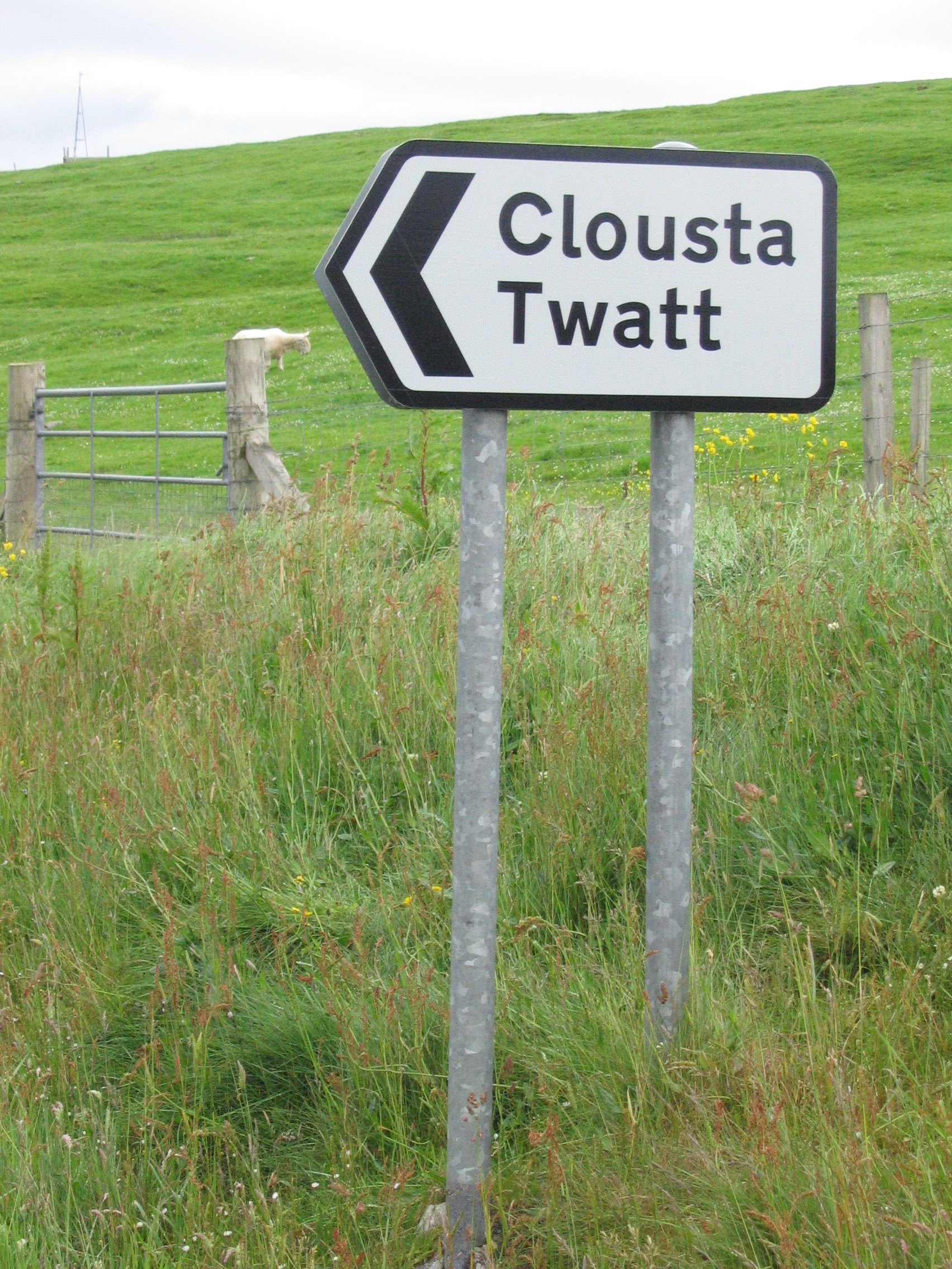
Twatt, Shetland

Twatt is a settlement in the Shetland Islands of Scotland. It is located on the Shetland Mainland on a minor road that leads from the A971 road to Clousta...

Stanydale Temple

Stanydale Temple is a Neolithic site on Mainland, Shetland, Scotland. It is located in a field to the south of the modern village of Stanydale, roughly...

Stanydale

Stanydale is a hamlet on the island of Mainland, Shetland, Scotland. The archaeological site of Stanydale Temple is less than 0.5 miles (0.80 km) to...

Westerfield, Shetland

Westerfield is a coastal community on Mainland, in Shetland, Scotland. The community is within the parish of Sandsting.It lies to the west of Tresta on...

Gruting

Gruting is a hamlet on the island of Mainland, Shetland in Scotland. It is about 1 kilometre (0.62 mi) southwest of the archaeological site of Stanydale...

Have you been to Berrarunies Loch?

Leave your review of Berrarunies Loch below (or comments, questions and feedback).