Pond Lay Plantation

Wood, Forest in Essex Uttlesford

England

Pond Lay Plantation

Houses on Rickling Green The tree stump has been cut since a nice tree was there in 2009
Houses on Rickling Green Credit: David Howard

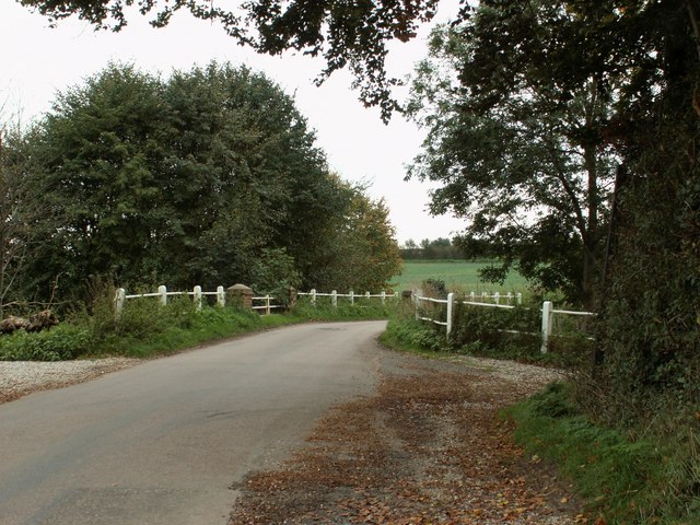
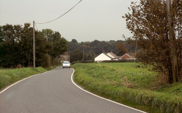
Pond Lay Plantation, located in Essex, England, is a sprawling woodland area known for its picturesque beauty and rich biodiversity. Covering a vast expanse of land, the plantation is home to a diverse range of flora and fauna, making it a popular destination for nature enthusiasts and wildlife lovers alike.

The plantation is predominantly made up of mature deciduous trees, including oak, beech, and birch, which provide a stunning display of colors during the autumn months. These trees also offer a habitat for a variety of bird species, such as woodpeckers, owls, and thrushes, making it an ideal spot for birdwatching.

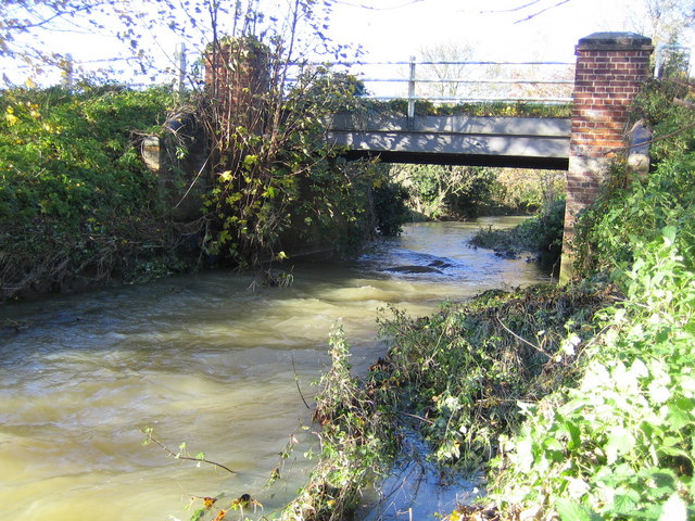
Pond Lay Plantation is aptly named due to the presence of several small ponds scattered throughout the area. These ponds serve as watering holes for various animals, including deer, rabbits, and foxes, which can often be spotted grazing or drinking by the water's edge.

The plantation offers a network of well-maintained walking trails, allowing visitors to explore the area at their leisure. The trails wind through the woodland, offering stunning views of the surrounding countryside and providing opportunities for peaceful picnics or leisurely strolls.

Pond Lay Plantation is managed by the local authorities, who take great care to preserve its natural beauty and protect its wildlife. The plantation serves not only as a recreational space but also as an important ecological site, contributing to the overall health and biodiversity of the region.

In conclusion, Pond Lay Plantation in Essex is a captivating woodland area, boasting a diverse range of plant and animal life. With its enchanting trails, picturesque ponds, and abundant wildlife, it offers visitors a chance to immerse themselves in the beauty of nature.

If you have any feedback on the listing, please let us know in the comments section below.

Pond Lay Plantation Images

Images are sourced within 2km of 51.955163/0.17525211 or Grid Reference TL4930. Thanks to Geograph Open Source API. All images are credited.

Houses on Rickling Green The tree stump has been cut since a nice tree was there in 2009
Houses on Rickling Green
The tree stump has been cut since a nice tree was there in 2009
Brick Kiln Lane, Rickling Green
Rickling Church
Rickling Church
Arable Land and pylons, Hill Green Looking towards Hill Green from Clavering triangulation pillar.
Arable Land and pylons, Hill Green
Looking towards Hill Green from Clavering triangulation pillar.
Rickling Road This is the view as you leave Wicken Bonhunt.
Rickling Road
This is the view as you leave Wicken Bonhunt.
Bridge over the river Stort This is known as Poor Bridge, which lies southeast of Clavering.
Bridge over the river Stort
This is known as Poor Bridge, which lies southeast of Clavering.
Rickling: Pond Lay Plantation An isolated clump of woodland in an otherwise arable landscape.
Rickling: Pond Lay Plantation
An isolated clump of woodland in an otherwise arable landscape.
Clavering An endless sea of winter wheat stretches away from where the footpath from Clavering to Coldhams Farm just clips across the north-western corner of this grid square. The electricity transmission line runs from Pelham sub-station to Walpole sub-station.
Clavering
An endless sea of winter wheat stretches away from where the footpath from Clavering to Coldhams Farm just clips across the north-western corner of this grid square. The electricity transmission line runs from Pelham sub-station to Walpole sub-station.
Rickling: All Saints Church There are few houses near this isolated thirteenth century church, but it is a popular venue for weddings including that of local celebrity chef Jamie Oliver and his bride, Juliette Norton, in June 2000. The BBC news article for the event is here <span class="nowrap"><a title="http://news.bbc.co.uk/1/hi/entertainment/803555.stm" rel="nofollow ugc noopener" href="http://news.bbc.co.uk/1/hi/entertainment/803555.stm">Link</a><img style="margin-left:2px;" alt="External link" title="External link - shift click to open in new window" src="https://s1.geograph.org.uk/img/external.png" width="10" height="10"/></span>
Rickling: All Saints Church
There are few houses near this isolated thirteenth century church, but it is a popular venue for weddings including that of local celebrity chef Jamie Oliver and his bride, Juliette Norton, in June 2000. The BBC news article for the event is here LinkExternal link
Clavering Triangulation Pillar In "celebration" of the fact that in November 2006 the Ordnance Survey have finally decided to make available all their co-ordinate and height data for triangulation points and bench marks free of charge on line, here is an image of a totally non-descript pillar skulking away under a hedge. Looking at its rural isolation and the dense growth of the hedge I wonder when it was last used for its true purpose!

As a link to the OS site the original archive OSGB36 National Grid co-ordinates and the height of the flush bracket on the pillar above Ordnance Survey Datum Newlyn can be found by typing the grid square into the relevant page selected from here  <span class="nowrap"><a title="http://benchmarks.ordnancesurvey.co.uk/pls/htmldb/f?p=111" rel="nofollow ugc noopener" href="http://benchmarks.ordnancesurvey.co.uk/pls/htmldb/f?p=111">Link</a><img style="margin-left:2px;" alt="External link" title="External link - shift click to open in new window" src="https://s1.geograph.org.uk/img/external.png" width="10" height="10"/></span>
Clavering Triangulation Pillar
In "celebration" of the fact that in November 2006 the Ordnance Survey have finally decided to make available all their co-ordinate and height data for triangulation points and bench marks free of charge on line, here is an image of a totally non-descript pillar skulking away under a hedge. Looking at its rural isolation and the dense growth of the hedge I wonder when it was last used for its true purpose! As a link to the OS site the original archive OSGB36 National Grid co-ordinates and the height of the flush bracket on the pillar above Ordnance Survey Datum Newlyn can be found by typing the grid square into the relevant page selected from here LinkExternal link
River Stort south of Clavering This is Poor Bridge carrying the minor road to Rickling over the river. This is the bridge featured in Robert's <a href="https://www.geograph.org.uk/photo/267953">TL4830 : Bridge over the river Stort</a>
River Stort south of Clavering
This is Poor Bridge carrying the minor road to Rickling over the river. This is the bridge featured in Robert's TL4830 : Bridge over the river Stort
Rickling: Coldhams This view was taken from the very south-western corner of the grid square looking towards Coldhams. The current OS mapping shows two farms here, Moat Farm and Coldhams Farm, but the 1881 OS mapping shows just the farm at what is today's Moat Farm, but called Coldhams. Today's Coldhams Farm did not exist then.
Rickling: Coldhams
This view was taken from the very south-western corner of the grid square looking towards Coldhams. The current OS mapping shows two farms here, Moat Farm and Coldhams Farm, but the 1881 OS mapping shows just the farm at what is today's Moat Farm, but called Coldhams. Today's Coldhams Farm did not exist then.
A short country lane leading to Church End Farm
All Saints Church, Rickling, Essex
Quendon parish church, Essex This church dates back to the 13th century but this view from the south, shows much of the restoration of 1881.
Quendon parish church, Essex
This church dates back to the 13th century but this view from the south, shows much of the restoration of 1881.
Fountain and Drinking Trough, Quendon The inscription on the inside of the roof reads: This fountain and drinking trough were donated to the people of Quendon in 1887 by Henry Tufnell Esq. in memory of Col. Cranmer-Byng of Quendon Hall. They were later restored in memory of G.B. Beeman who lived at Manor Farm 1922-54.
Fountain and Drinking Trough, Quendon
The inscription on the inside of the roof reads: This fountain and drinking trough were donated to the people of Quendon in 1887 by Henry Tufnell Esq. in memory of Col. Cranmer-Byng of Quendon Hall. They were later restored in memory of G.B. Beeman who lived at Manor Farm 1922-54.
Approach to Rickling Green from Rickling
Potash Farm, just east of Berden, Essex
Show me another place!

Pond Lay Plantation is located at Grid Ref: TL4930 (Lat: 51.955163, Lng: 0.17525211)

Administrative County: Essex

District: Uttlesford

Police Authority: Essex

What 3 Words

///nurture.record.caressing. Near Elsenham, Essex

Related Wikis

Rickling, Essex

Rickling is a village and former civil parish, now in the parish of Quendon and Rickling, in the Uttlesford district of Essex, England. The village is...

Quendon and Rickling

Quendon and Rickling is a civil parish in the Uttlesford district of Essex, England with an area of 2,048 acres. The population of the civil parish at...

Quendon

Quendon is a linear village and former civil parish, now in the parish of Quendon and Rickling, in the Uttlesford district, in the county of Essex, England...

Quendon Wood

Quendon Wood is a 32.1-hectare (79-acre) biological Site of Special Scientific Interest in Quendon in Essex.The site is ancient coppiced woodland with...

Wicken Bonhunt

Wicken Bonhunt is a village and a civil parish of north-west Essex, in the non-metropolitan district of Uttlesford, England. It is on the B1038 (Buntingford...
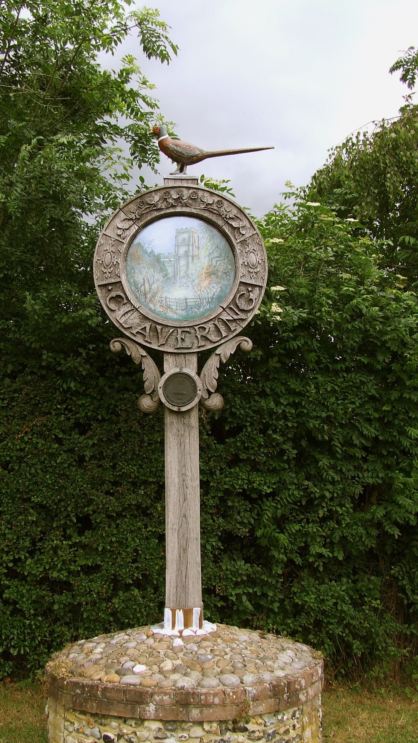
Clavering, Essex

Clavering is a village and also a parish in north-west Essex in England. It is about 20 miles (32 km) from Cambridge and 50 miles (80 km) from Southend...

Berden

Berden is a village and civil parish in Essex, England. Berden village is approximately 6 miles (10 km) north from Bishop's Stortford, Hertfordshire and...

Clavering Castle

Clavering Castle remains are situated in the small parish village of Clavering in the county of Essex, England, 50m north of the church of St Mary and...

Nearby Amenities

Located within 500m of 51.955163,0.17525211
Passing Place
Lat/Long: 51.9585772/0.1728004
Description: Roadside Nature Reserve south of the marker.
Marker: post
Lat/Long: 51.958566/0.1726863
Passing Place
Lat/Long: 51.9575717/0.169859
The data included in this document is from www.openstreetmap.org. The data is made available under ODbL.

Have you been to Pond Lay Plantation?

Leave your review of Pond Lay Plantation below (or comments, questions and feedback).