Cooper's Wood

Wood, Forest in Sussex Wealden

England

Cooper's Wood

Cottage near Holtye, Kent/Sussex border This cottage stands on the site of an old ironworks. The road runs across the dam that supplied the water to power the bellows that worked the furnace.
Cottage near Holtye, Kent/Sussex border Credit: Ron Strutt

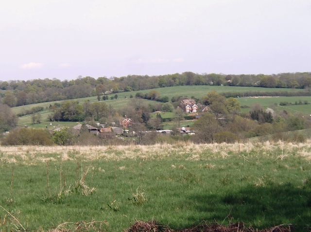
Cooper's Wood is a picturesque woodland located in Sussex, England. Covering an area of approximately 100 acres, this enchanting forest is known for its stunning natural beauty and diverse range of flora and fauna.

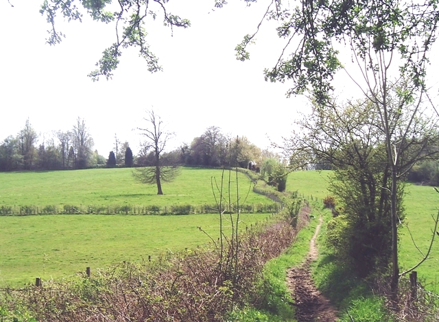
The wood is predominantly composed of native tree species such as oak, beech, and birch, which create a dense canopy overhead. The forest floor is adorned with a carpet of wildflowers, including bluebells, primroses, and wood anemones, providing a vibrant burst of color during the spring months.

Cooper's Wood is home to a rich variety of wildlife, making it a popular destination for nature enthusiasts and birdwatchers. Visitors may be lucky enough to spot a wide array of bird species, including woodpeckers, nuthatches, and tawny owls. Additionally, the woodland provides habitat for mammals such as foxes, deer, and squirrels.

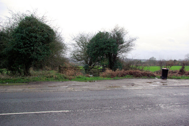
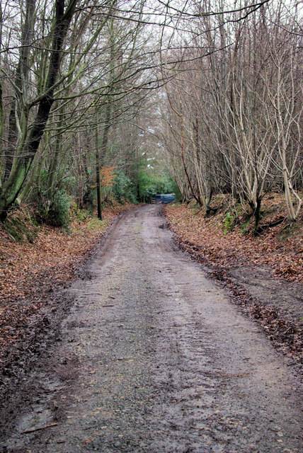
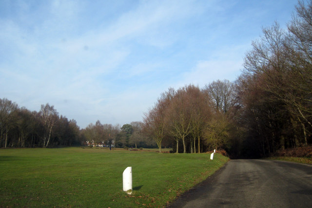
The wood is crisscrossed by a network of well-maintained footpaths, allowing visitors to explore its enchanting beauty. These paths wind through the trees, offering scenic views and the opportunity to immerse oneself in the peaceful ambiance of the forest.

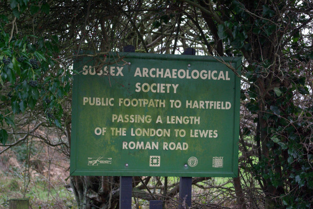
Cooper's Wood is also steeped in history, with evidence of human habitation dating back centuries. Numerous archaeological finds, including ancient burial mounds and pottery fragments, have been discovered within the woodland.

Overall, Cooper's Wood in Sussex is a captivating destination for nature lovers, history enthusiasts, and anyone seeking tranquility amidst the beauty of the natural world.

If you have any feedback on the listing, please let us know in the comments section below.

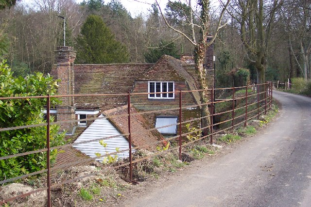
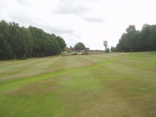
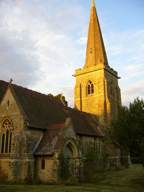
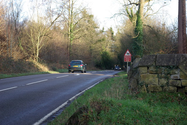
Cooper's Wood Images

Images are sourced within 2km of 51.135501/0.068689917 or Grid Reference TQ4439. Thanks to Geograph Open Source API. All images are credited.

Cottage near Holtye, Kent/Sussex border This cottage stands on the site of an old ironworks. The road runs across the dam that supplied the water to power the bellows that worked the furnace.
Cottage near Holtye, Kent/Sussex border
This cottage stands on the site of an old ironworks. The road runs across the dam that supplied the water to power the bellows that worked the furnace.
Roman road near Holtye Near Holtye a section of the Roman road from London to Lewes was excavated and bought for preservation by the Sussex Archaeological Society.
Roman road near Holtye
Near Holtye a section of the Roman road from London to Lewes was excavated and bought for preservation by the Sussex Archaeological Society.
Holtye Golf Club Dating from 1893 and originally called the Liliput it is a 9 hole doubling to 18 holes testing course. <span class="nowrap"><a title="www.holtye.com" rel="nofollow ugc noopener" href="http://www.holtye.com">Link</a><img style="margin-left:2px;" alt="External link" title="External link - shift click to open in new window" src="https://s1.geograph.org.uk/img/external.png" width="10" height="10"/></span>
Holtye Golf Club
Dating from 1893 and originally called the Liliput it is a 9 hole doubling to 18 holes testing course. LinkExternal link
Cansiron / Butcherfield Lane, Hartfield On the right angled corner looking east along Butcherfield Lane and at the entrance (behind) to Great Cansiron Farm
Cansiron / Butcherfield Lane, Hartfield
On the right angled corner looking east along Butcherfield Lane and at the entrance (behind) to Great Cansiron Farm
St Stephen's Church Hammerwood
St Stephen's Church
Hammerwood
Bend on A264 east of Hammerwood Church A view east from the gateway into Hammerwood churchyard (its wall is on the right). The feature is the left-hand bend that the approaching car is rounding.
Bend on A264 east of Hammerwood Church
A view east from the gateway into Hammerwood churchyard (its wall is on the right). The feature is the left-hand bend that the approaching car is rounding.
A264 crossing of London-Lewes Roman Road The start of a footpath which passes further downhill a preserved section of Roman Road. The sign draws attention to this.
A264 crossing of London-Lewes Roman Road
The start of a footpath which passes further downhill a preserved section of Roman Road. The sign draws attention to this.
Roman Road sign on A264 A sign at the start of a path which passes a preserved section of Roman Road.
Roman Road sign on A264
A sign at the start of a path which passes a preserved section of Roman Road.
Bridleway from Kent to Sussex A view towards the end of the bridleway (also a private track) where it meets the A264 at a tricky bend.
Bridleway from Kent to Sussex
A view towards the end of the bridleway (also a private track) where it meets the A264 at a tricky bend.
Dog Gate Lodge At a crossroads of tracks. The Vanguard way comes from the south and turns initially west (out of sight), a private track goes north, and a public bridleway goes east.
Dog Gate Lodge
At a crossroads of tracks. The Vanguard way comes from the south and turns initially west (out of sight), a private track goes north, and a public bridleway goes east.
Hammerwood House Hammer Wood is to the right. The Hammer reference is derived from the Wealden iron industry.
Hammerwood House
Hammer Wood is to the right. The Hammer reference is derived from the Wealden iron industry.
Power Line Gap A power line heads east in the general direction of Great Cansiron Farm, hidden behind the modestly named Acre Wood in the distance.
Power Line Gap
A power line heads east in the general direction of Great Cansiron Farm, hidden behind the modestly named Acre Wood in the distance.
Cowshed, Owlett's Farm The moment they saw the camera, the cows retreated from the mangers into the depths of the shed.
Cowshed, Owlett's Farm
The moment they saw the camera, the cows retreated from the mangers into the depths of the shed.
Cansiron Lane A snowy morning.
Cansiron Lane
A snowy morning.
Wealden farmland Taken just north of the main road from East Grinstead to Tunbridge Wells.
Wealden farmland
Taken just north of the main road from East Grinstead to Tunbridge Wells.
Vanguard Way footpath Taken from the footbridge over an un-named stream south of Hammerwood.
Vanguard Way footpath
Taken from the footbridge over an un-named stream south of Hammerwood.
Golf Course near Cowden
House adjacent Golf Club
Show me another place!

Cooper's Wood is located at Grid Ref: TQ4439 (Lat: 51.135501, Lng: 0.068689917)

Administrative County: East Sussex

District: Wealden

Police Authority: Sussex

What 3 Words

///miles.hulk.inner. Near Dormansland, Surrey

Related Wikis

Hammerwood Park

Hammerwood Park is a country house in Hammerwood, near East Grinstead, in East Sussex, England. It is a Grade I listed building. One of the first houses...

Hammerwood

Hammerwood is a hamlet in the civil parish of Forest Row in East Sussex, England. Its nearest town is East Grinstead, which lies approximately 3.5 miles...

London to Lewes Way

The London to Lewes Way is a 71 kilometres (44 mi) long Roman road between Watling Street at Peckham and Lewes in Sussex. The road passes through Beckenham...

Cowden

Cowden () is a small village and civil parish in the Sevenoaks District of Kent, England. The parish is located on the northern slopes of the Weald, south...

Bassetts Manor

Bassetts Manor is a Grade II-listed building in Hartfield, East Sussex, England. == Location == The manor is located North of the village of Hartfield...

Bolebroke Castle

Bolebroke Castle is a 15th-century hunting lodge located north of the village of Hartfield, East Sussex, England. It is a Grade II* listed building.The...

Bolebroke Castle Miniature Railway

The Bolebroke Castle Miniature Railway or Bolebroke Castle and Lakes Railway (often abbreviated to BC&LR) was a 7+1⁄4 inches (180 mm) railway that ran...

Sundridge with Ide Hill

Sundridge and Ide Hill is a civil parish in the Sevenoaks District of Kent, England. It is located in the Darenth valley and lies between Sevenoaks and...

Nearby Amenities

Located within 500m of 51.135501,0.068689917
HOLTYE1
Disused: yes
Man Made: petroleum_well
Ref GB Decc: LS/26-9
Source: DECC
Lat/Long: 51.1397222/0.0689722
The data included in this document is from www.openstreetmap.org. The data is made available under ODbL.

Have you been to Cooper's Wood?

Leave your review of Cooper's Wood below (or comments, questions and feedback).