White's Wood

Wood, Forest in Staffordshire East Staffordshire

England

White's Wood

Barn Croft at Dods Leigh Rather overgrown but apparently still inhabited.
Barn Croft at Dods Leigh Credit: Alan Murray-Rust

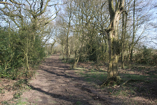
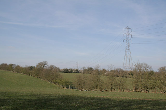
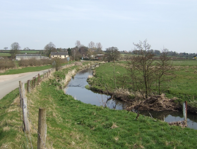
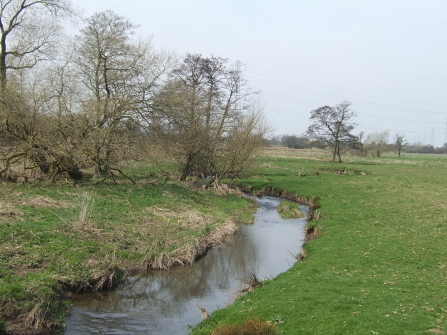
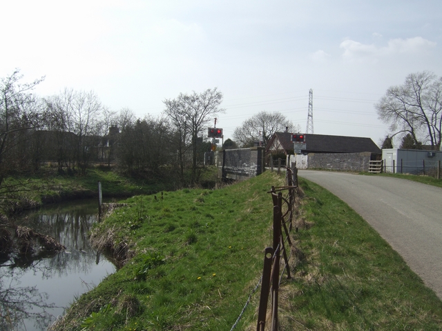
White's Wood is a picturesque woodland located in Staffordshire, England. Stretching over an area of approximately 100 acres, it is a popular destination for nature lovers and outdoor enthusiasts. The wood is situated in close proximity to the village of White's Wood and is easily accessible from surrounding areas.

The woodland is characterized by a diverse range of tree species, including oak, beech, ash, and birch. These majestic trees create a dense canopy that provides shade and shelter for a variety of wildlife. Visitors can expect to see an array of bird species, such as woodpeckers, owls, and thrushes, making it a haven for birdwatching.

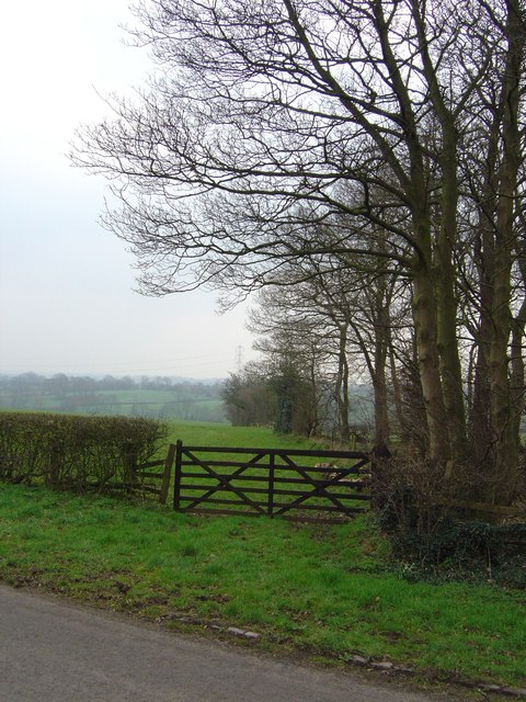
White's Wood offers numerous walking trails that wind through its tranquil surroundings. These paths are well-maintained and suitable for all ages and fitness levels. As visitors stroll through the wood, they can enjoy the sights and sounds of nature, including the rustling of leaves underfoot and the gentle chirping of birds.

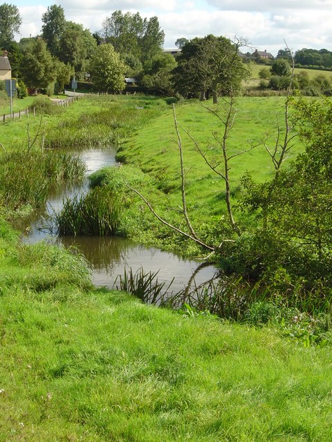
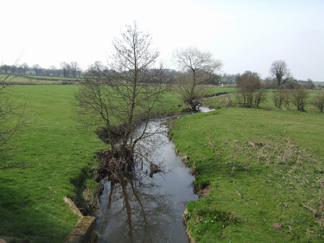
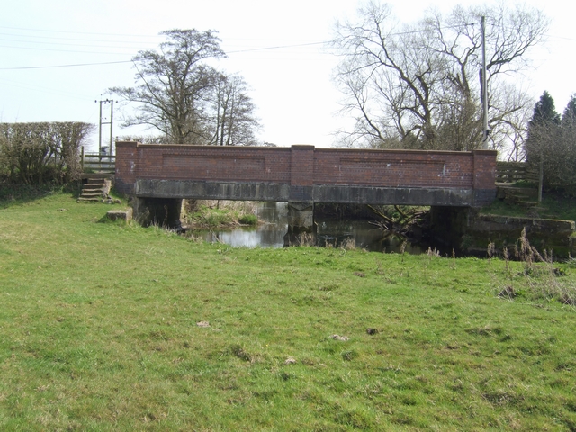
The wood is also home to a number of small streams and ponds, adding to its natural beauty. These bodies of water attract a range of aquatic creatures, such as frogs, newts, and dragonflies, providing further opportunities for wildlife observation.

In addition to its natural attractions, White's Wood has picnic areas and benches scattered throughout, allowing visitors to relax and enjoy a packed lunch amidst the serene surroundings. It is a perfect location for a family day out, offering both recreational and educational opportunities.

Overall, White's Wood is a captivating woodland that showcases the beauty of nature in Staffordshire. With its abundant wildlife, well-maintained trails, and peaceful ambiance, it is a must-visit destination for those seeking a nature retreat.

If you have any feedback on the listing, please let us know in the comments section below.
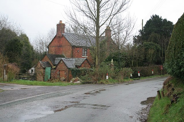
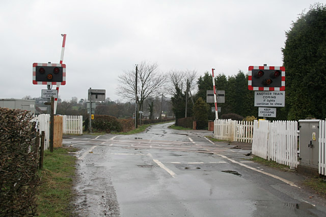
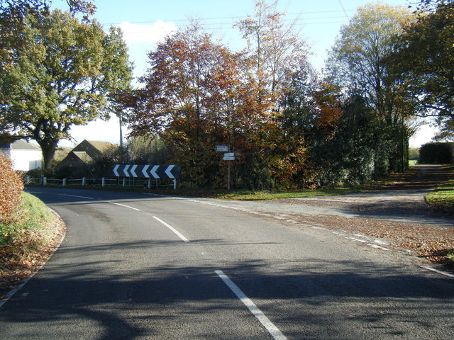
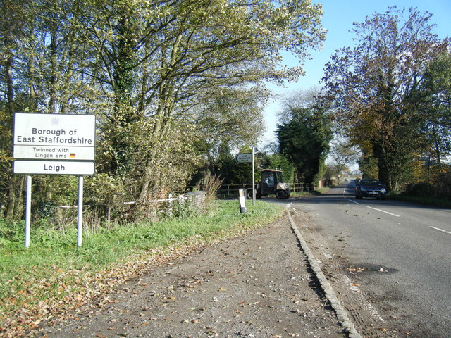
White's Wood Images

Images are sourced within 2km of 52.90901/-2.0020549 or Grid Reference SJ9934. Thanks to Geograph Open Source API. All images are credited.

Barn Croft at Dods Leigh Rather overgrown but apparently still inhabited.
Barn Croft at Dods Leigh
Rather overgrown but apparently still inhabited.
Leigh Level Crossing The station has disappeared, but a signalbox <a title="https://www.geograph.org.uk/photo/3748106" href="https://www.geograph.org.uk/photo/3748106">Link</a> has been (?re-)built on adjacent premises.
Leigh Level Crossing
The station has disappeared, but a signalbox Link has been (?re-)built on adjacent premises.
River Blithe The River Blithe taken from Leigh Lane, just at the bridge.
River Blithe
The River Blithe taken from Leigh Lane, just at the bridge.
Field Gate Gate into the pasture land beside small wood.
Field Gate
Gate into the pasture land beside small wood.
Birchwood Park The farmland at Birchwood Park.
Birchwood Park
The farmland at Birchwood Park.
Footpath near Dod's Leigh This path had clearly been recently smoothed using something like a small bulldozer, making it far more walkable than would clearly have been the case a few weeks earlier.
Footpath near Dod's Leigh
This path had clearly been recently smoothed using something like a small bulldozer, making it far more walkable than would clearly have been the case a few weeks earlier.
Farmland near Dod's Leigh
River Blithe upstream near Lower Leigh Looking towards the Derby to Stoke railway.
River Blithe upstream near Lower Leigh
Looking towards the Derby to Stoke railway.
River Blithe bridge near Lower Leigh Concrete bridge built the original stone foundations of an earlier structure.
River Blithe bridge near Lower Leigh
Concrete bridge built the original stone foundations of an earlier structure.
River Blithe downstream near Upper Leigh
River Blithe upstream near Upper Leigh
Upper Leigh Level Crossing One of a number of level crossings on the Derby to Stoke line.
Upper Leigh Level Crossing
One of a number of level crossings on the Derby to Stoke line.
River Blithe bridge near Upper Leigh Level Crossing The blue brick parapets suggest that the bridge was built by the railway company.
River Blithe bridge near Upper Leigh Level Crossing
The blue brick parapets suggest that the bridge was built by the railway company.
Uttoxeter Road
Uttoxeter Road
Uttoxeter Road
Uttoxeter Road
B5027 Uttoxeter Road at district boundary
Lower Leigh - big diesel engine This is a secure private site that is home to a company specialising in pumps and sewage treatment. The owner is a former marine engineer and invited me to see his work in progress. This beauty is a 1965 built V16 twin turbo W H Allen diesel driving a brushless alternator. The engine is rated at 1860 horsepower with a one hour overload to 2000 horsepower. This now runs off load and makes an awesome noise at 750 rpm. It was used at an Astra Zeneca works.
Lower Leigh - big diesel engine
This is a secure private site that is home to a company specialising in pumps and sewage treatment. The owner is a former marine engineer and invited me to see his work in progress. This beauty is a 1965 built V16 twin turbo W H Allen diesel driving a brushless alternator. The engine is rated at 1860 horsepower with a one hour overload to 2000 horsepower. This now runs off load and makes an awesome noise at 750 rpm. It was used at an Astra Zeneca works.
Recovered high voltage equipment This is equipment no longer wanted by the National Grid and has been saved by the owner of this secure site near Lower Leigh. This was a with permission visit. I think the large units operated at 275kV. None of this is now live, fortunately.
Recovered high voltage equipment
This is equipment no longer wanted by the National Grid and has been saved by the owner of this secure site near Lower Leigh. This was a with permission visit. I think the large units operated at 275kV. None of this is now live, fortunately.
Show me another place!

White's Wood is located at Grid Ref: SJ9934 (Lat: 52.90901, Lng: -2.0020549)

Administrative County: Staffordshire

District: East Staffordshire

Police Authority: Staffordshire

What 3 Words

///protected.incisions.glory. Near Cheadle, Staffordshire

Nearby Locations

White's Wood

Related Wikis

Leigh railway station (Staffordshire)

Leigh railway station was a railway station in Staffordshire, England. The railway line between Stoke-on-Trent and Uttoxeter was opened by the North Staffordshire...

Leigh, Staffordshire

Leigh is a civil parish in the English county of Staffordshire. The parish includes the village of Church Leigh, together with the settlements of Withington...

Coton Hill, Staffordshire

Coton Hill is a hamlet in the English county of Staffordshire. Coton Hill is located east of the village of Milwich on the B5027 road between Stone and...

Fradswell

Fradswell is a village in Staffordshire, England, approximately 7 miles (10 km) north-east of the town of Stafford and 7 miles (11 km) north of Colwich...

Have you been to White's Wood?

Leave your review of White's Wood below (or comments, questions and feedback).