Ashland Coppice
Wood, Forest in Somerset South Somerset
England
Ashland Coppice
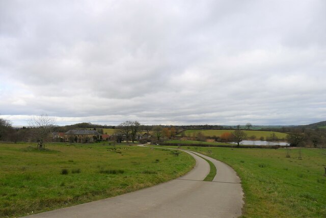
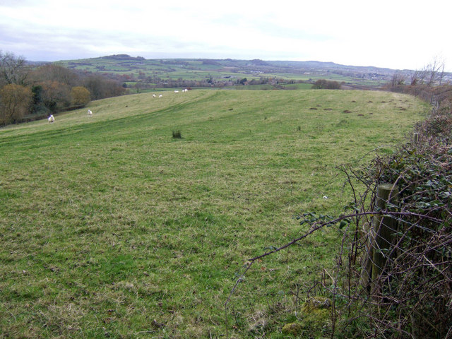
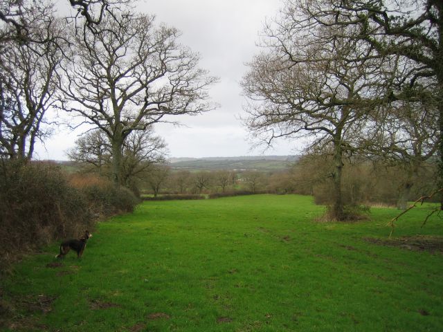
Ashland Coppice, located in Somerset, England, is a picturesque woodland area renowned for its natural beauty and diverse ecosystem. Covering an expansive area of approximately 100 acres, the coppice is characterized by a dense canopy of trees, making it an ideal habitat for a variety of wildlife species.
The woodland primarily consists of broadleaf trees such as oak, beech, and ash, which contribute to the unique and enchanting atmosphere of the forest. These towering trees provide ample shade, creating a cool and serene environment for visitors to explore and enjoy.
Ashland Coppice is home to a wide range of flora and fauna. The forest floor is adorned with an array of wildflowers, including bluebells, primroses, and wood anemones, creating a vibrant and colorful landscape during the spring months. The woodland is also a haven for birdwatchers, as it attracts a multitude of bird species, including thrushes, woodpeckers, and owls.
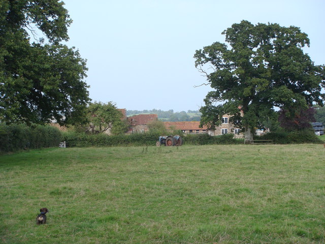
Visitors to Ashland Coppice can partake in various activities such as hiking, nature walks, and bird watching. The woodland is crisscrossed by a network of well-maintained trails, allowing visitors to explore its beauty at their own pace. The tranquil atmosphere and natural surroundings make it an idyllic spot for picnics and family outings.
Ashland Coppice is well-preserved and managed by local authorities, ensuring the protection and conservation of its natural resources. It has become a popular destination for nature enthusiasts, photographers, and those seeking solace in the tranquil embrace of the natural world.
If you have any feedback on the listing, please let us know in the comments section below.
Ashland Coppice Images
Images are sourced within 2km of 50.869283/-2.7148446 or Grid Reference ST4907. Thanks to Geograph Open Source API. All images are credited.


Ashland Coppice is located at Grid Ref: ST4907 (Lat: 50.869283, Lng: -2.7148446)
Administrative County: Somerset
District: South Somerset
Police Authority: Avon and Somerset
What 3 Words
///marker.laying.argue. Near Crewkerne, Somerset
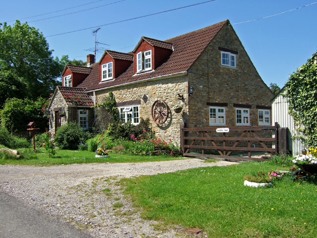
Nearby Locations
Related Wikis
Whitevine Meadows
Whitevine Meadows (grid reference ST505085) is a 13.0 hectare (32.0 acre) biological Site of Special Scientific Interest east of North and South Perrott...
Grove Farm, Somerset
Grove Farm (grid reference ST513096) is a 36.5 hectare (90.2 acre) biological Site of Special Scientific Interest in Somerset, notified in 1989. This site...

Chedington
Chedington is a small village and civil parish in west Dorset, England, situated near the A356 road 4 miles (6.4 km) southeast of Crewkerne in Somerset...
North Perrott
North Perrott is a village and civil parish in south Somerset, England, near the border with Dorset. == History == The name Perrott comes from the River...

South Perrott
South Perrott is a village and civil parish in northwest Dorset, England, 2 miles (3.2 km) southeast of Crewkerne. In 2012 the estimated population of...
Church of St Martin, North Perrott
The Church of St Martin in North Perrott, Somerset, England, dates from the 12th century and has been designated as a Grade I listed building.The current...

Weston Hill
Weston Hill is a hill, 250 metres (820 ft) high, on the A 356, 1 kilometre west of Corscombe in the county of Dorset in southern England. It is located...

North Perrott Cricket Club Ground
North Perrott Cricket Club Ground is a former List A cricket ground located in North Perrott, Somerset. It hosted a single Cheltenham & Gloucester Trophy...
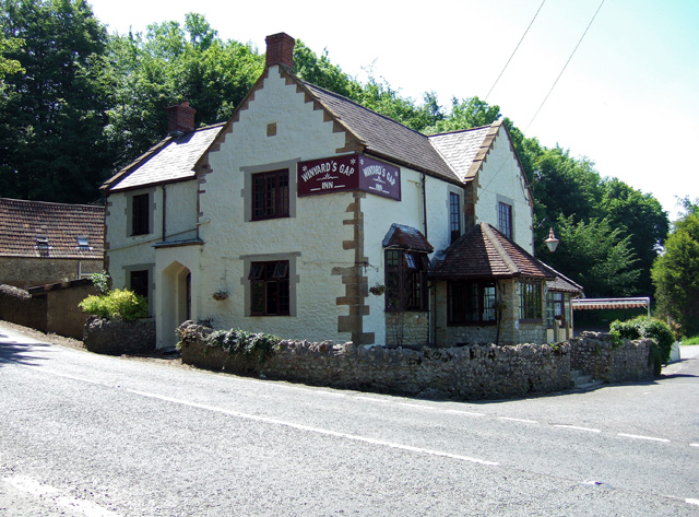
Nearby Amenities
Located within 500m of 50.869283,-2.7148446Have you been to Ashland Coppice?
Leave your review of Ashland Coppice below (or comments, questions and feedback).