Alder Coppice
Wood, Forest in Dorset East Devon
England
Alder Coppice

Alder Coppice, located in the county of Dorset, is a serene and picturesque woodland area that spans over several acres. Situated near the village of Dorchester, this coppice is known for its rich biodiversity and natural beauty, making it a popular destination for nature enthusiasts and hikers alike.
The dominant tree species in Alder Coppice is the alder tree, from which the area derives its name. These tall and slender trees create a lush and dense canopy, providing shade and shelter to a variety of flora and fauna. The forest floor is covered in a thick carpet of moss, ferns, and wildflowers, adding to the enchanting ambiance of the woods.
Numerous walking trails crisscross the coppice, offering visitors the opportunity to explore its wonders. The trails vary in length and difficulty, catering to both casual walkers and more adventurous hikers. Along these pathways, one can discover hidden streams, charming waterfalls, and small ponds, providing habitats for various aquatic species.
Birdwatchers will find Alder Coppice a haven for avian life, as it is home to a diverse range of bird species. From the melodious calls of songbirds to the majestic flight of birds of prey, the woods echo with the sounds and sights of these feathered creatures.
The management of Alder Coppice is carefully overseen to maintain its ecological balance. Conservation efforts are in place to protect the delicate ecosystem and prevent any disruption to the natural habitat. Visitors are encouraged to respect the environment and adhere to designated paths to minimize human impact on the wildlife.
A visit to Alder Coppice promises an immersive and tranquil experience, where one can appreciate the wonders of nature and reconnect with the serenity of the forest.
If you have any feedback on the listing, please let us know in the comments section below.
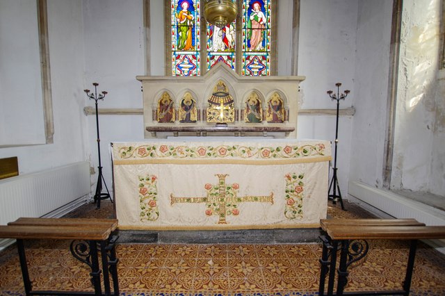
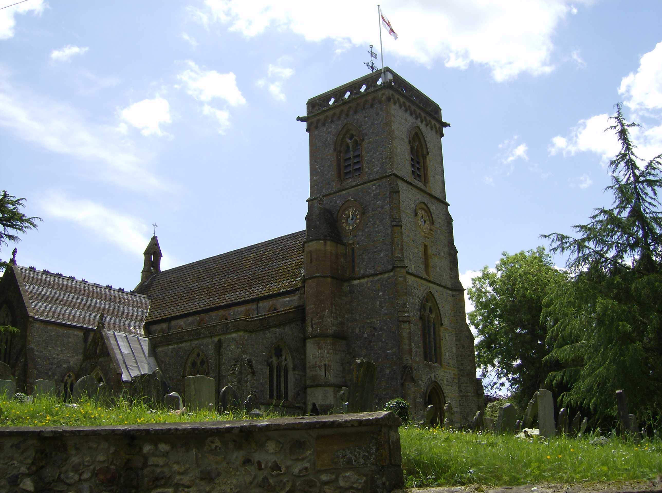
Alder Coppice Images
Images are sourced within 2km of 50.809472/-2.943858 or Grid Reference ST3301. Thanks to Geograph Open Source API. All images are credited.


Alder Coppice is located at Grid Ref: ST3301 (Lat: 50.809472, Lng: -2.943858)
Administrative County: Devon
District: East Devon
Police Authority: Devon and Cornwall
What 3 Words
///canal.stir.thumbnail. Near Axminster, Devon
Nearby Locations
Related Wikis

Hawkchurch
Hawkchurch is a village and civil parish in Devon, England, 3 miles (5 km) north east of Axminster on the border of Devon and Dorset, and about 6 miles...

Blackwater River (River Axe)
The Blackwater River is a 10-kilometre (6.2 mi) long river in the counties of Dorset and Devon, in the south-west of England. It rises to the north of...

Tytherleigh
Tytherleigh is a village in the civil parish of Chardstock in Devon, England (historically in Dorset), close to the borders with Dorset and Somerset on...

All Saints, Devon
All Saints is a civil parish in East Devon, Devon, England. It has a population of 498 according to the 2001 census. The parish includes the hamlets...
Alston, East Devon
Alston is a hamlet in Devon, England. == References ==

Chard Junction railway station
Chard Junction railway station was situated on the London and South Western Railway’s West of England Main Line about 1 mile (1.6 km) southeast of the...
Smallridge
Smallridge is a large hamlet in All Saints parish in the East Devon district of Devon, England. The hamlet is situated about 1 mile north of the town of...
Chardstock
Chardstock is a village and civil parish located on the eastern border of Devon, England off the A358 road between Chard and Axminster. The parish population...
Related Videos

Winter in Devon in a Motorhome - Where's open? What to see.
We take a look at an Open All Year site near Axminster and explore beautiful Sidmouth out of season. Campsite app: ...
Nearby Amenities
Located within 500m of 50.809472,-2.943858Have you been to Alder Coppice?
Leave your review of Alder Coppice below (or comments, questions and feedback).