Birch Coppice
Wood, Forest in Cumberland Allerdale
England
Birch Coppice
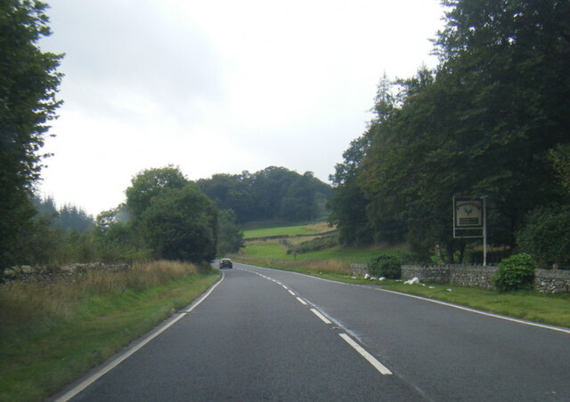
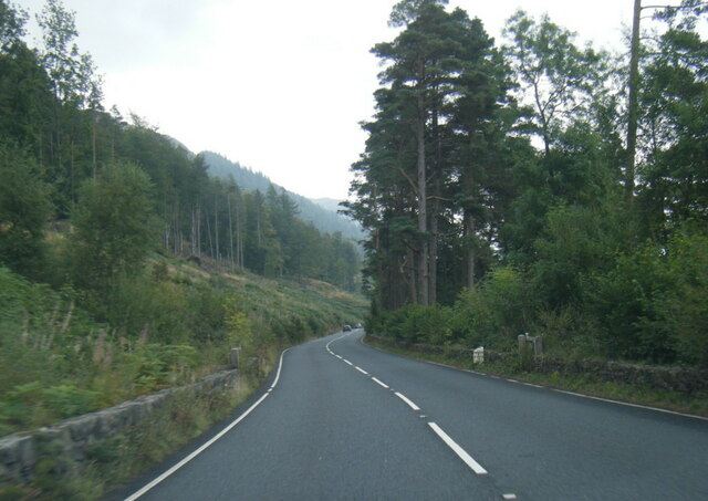
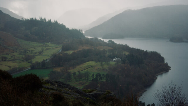
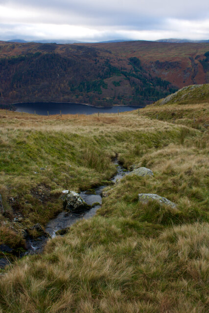
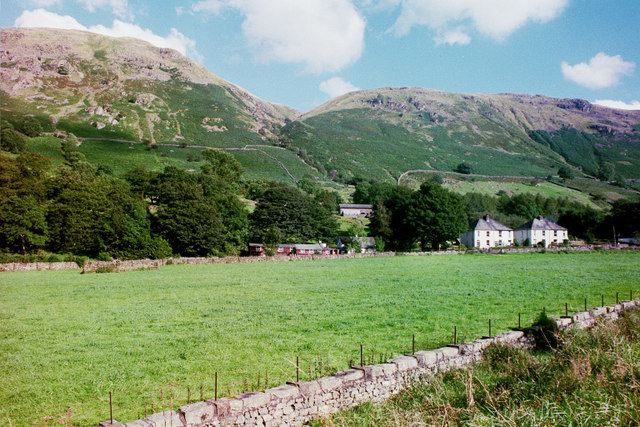
Birch Coppice, Cumberland is a picturesque woodland located in the county of Cumberland, in the northwestern region of England. Spread across an area of approximately 100 acres, this forest is known for its dense population of birch trees, which give it its name. The forest is situated in a rural area, surrounded by rolling hills and meadows, providing a tranquil and serene atmosphere for visitors.
The woodland is home to a diverse range of flora and fauna, making it a popular destination for nature enthusiasts and wildlife lovers. The dense canopy of birch trees creates an ideal habitat for a variety of bird species, including woodpeckers, owls, and songbirds. Visitors can often spot these feathered creatures flitting among the branches or nesting in the tree hollows.
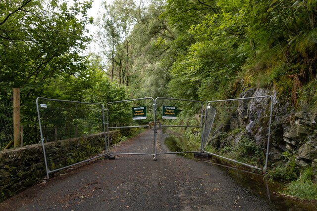
The forest offers a network of well-maintained walking trails, allowing visitors to explore its natural beauty at their own pace. The paths wind through the woods, providing glimpses of wildflowers, ferns, and moss-covered rocks along the way. The forest floor is carpeted with a rich layer of fallen leaves, creating a pleasant crunch underfoot during autumn months.
In addition to its natural beauty, Birch Coppice, Cumberland also has historical significance. The forest has remnants of ancient stone circles and burial mounds, indicating human occupation in the area dating back thousands of years. Archaeological enthusiasts can explore these historical sites and gain insights into the region's past.
Overall, Birch Coppice, Cumberland offers a harmonious blend of nature and history, making it a cherished destination for those seeking tranquility and a deeper connection with the natural world.
If you have any feedback on the listing, please let us know in the comments section below.
Birch Coppice Images
Images are sourced within 2km of 54.539067/-3.0744576 or Grid Reference NY3016. Thanks to Geograph Open Source API. All images are credited.


Birch Coppice is located at Grid Ref: NY3016 (Lat: 54.539067, Lng: -3.0744576)
Administrative County: Cumbria
District: Allerdale
Police Authority: Cumbria
What 3 Words
///binder.shortens.perfectly. Near Keswick, Cumbria
Related Wikis
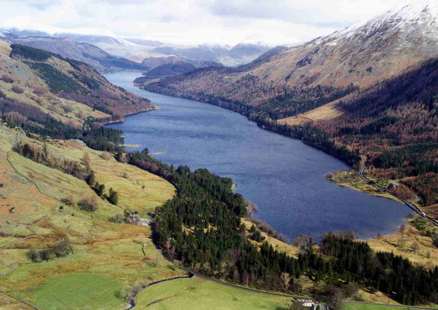
Thirlmere
Thirlmere is a reservoir in the Borough of Allerdale in Cumbria and the English Lake District. The Helvellyn ridge lies to the east of Thirlmere. To the...

Armboth Fell
Armboth Fell is a fell in the English Lake District, regarded by Alfred Wainwright as the centre of Lakeland. It is named for the former settlement of...

High Tove
High Tove is a fell in the English Lake District, close to the geographical centre of the Cumbrian hills. It forms part of the watershed between the Derwentwater...

Bell Crags
Bell Crags (also known as Long Moss or Blea Tarn Fell) is a hill of 559.1 metres (1,834 ft) in the Lake District, England. It lies between Borrowdale...

Raven Crag
Raven Crag is a fell in the English Lake District that overlooks Thirlmere reservoir. It has subsidiary summits The Benn and Castle Crag. == Topography... ==

High Seat (Lake District)
High Seat is a fell in the centre of the English Lake District. Despite being below 2,000 ft it is the highest point for about 5 miles (8 km) in any direction...
Thirlmere Aqueduct
The Thirlmere Aqueduct is a 95.9-mile-long (154.3-kilometre-long) pioneering section of water supply system in England, built by the Manchester Corporation...
Legburthwaite
Legburthwaite is a village in the Allerdale district, in the county of Cumbria. It is located on the A591 road and the B5322 road. Legburthwaite has a...
Nearby Amenities
Located within 500m of 54.539067,-3.0744576Have you been to Birch Coppice?
Leave your review of Birch Coppice below (or comments, questions and feedback).